The best mountain hikes around Peillonnex
4.9
(5)
45
hikers
3
hikes
Mountaineering routes near Peillonnex are situated in the Haute-Savoie department of France, offering access to the wider Alpine region. The terrain is characterized by mountainous landscapes, including the prominent Le Môle peak, which rises to 1,863 meters. This area provides a mix of accessible mountain experiences and serves as a gateway to more challenging ascents in nearby massifs. The region features lush valleys and diverse elevations, making it suitable for various mountaineering pursuits.
Best mountaineering routes around Peillonnex
- The most…
Last updated: October 9, 2026
4.8
(4)
33
hikers
8.59km
04:12
670m
670m
Hard mountaineering route. Good fitness required. Sure-footedness, sturdy shoes and alpine experience required.
5.0
(1)
8
hikers
16.6km
07:30
1,340m
1,340m
Hard mountaineering route. Very good fitness required. Sure-footedness, sturdy shoes and alpine experience required.

2
hikers
10.0km
03:16
440m
440m
Moderate mountaineering route. Good fitness required. Mostly accessible paths. Sure-footedness required.
1
hikers
6.60km
02:10
300m
300m
Hard mountaineering route. Good fitness required. Sure-footedness, sturdy shoes and alpine experience required.
1
hikers
8.25km
02:52
390m
390m
Hard mountaineering route. Good fitness required. Sure-footedness, sturdy shoes and alpine experience required.
Our route recommendations are based on thousands of hikes, rides, and runs completed by other people on komoot.
Start today with a free account
Your next adventure awaits.
Tips from the Community

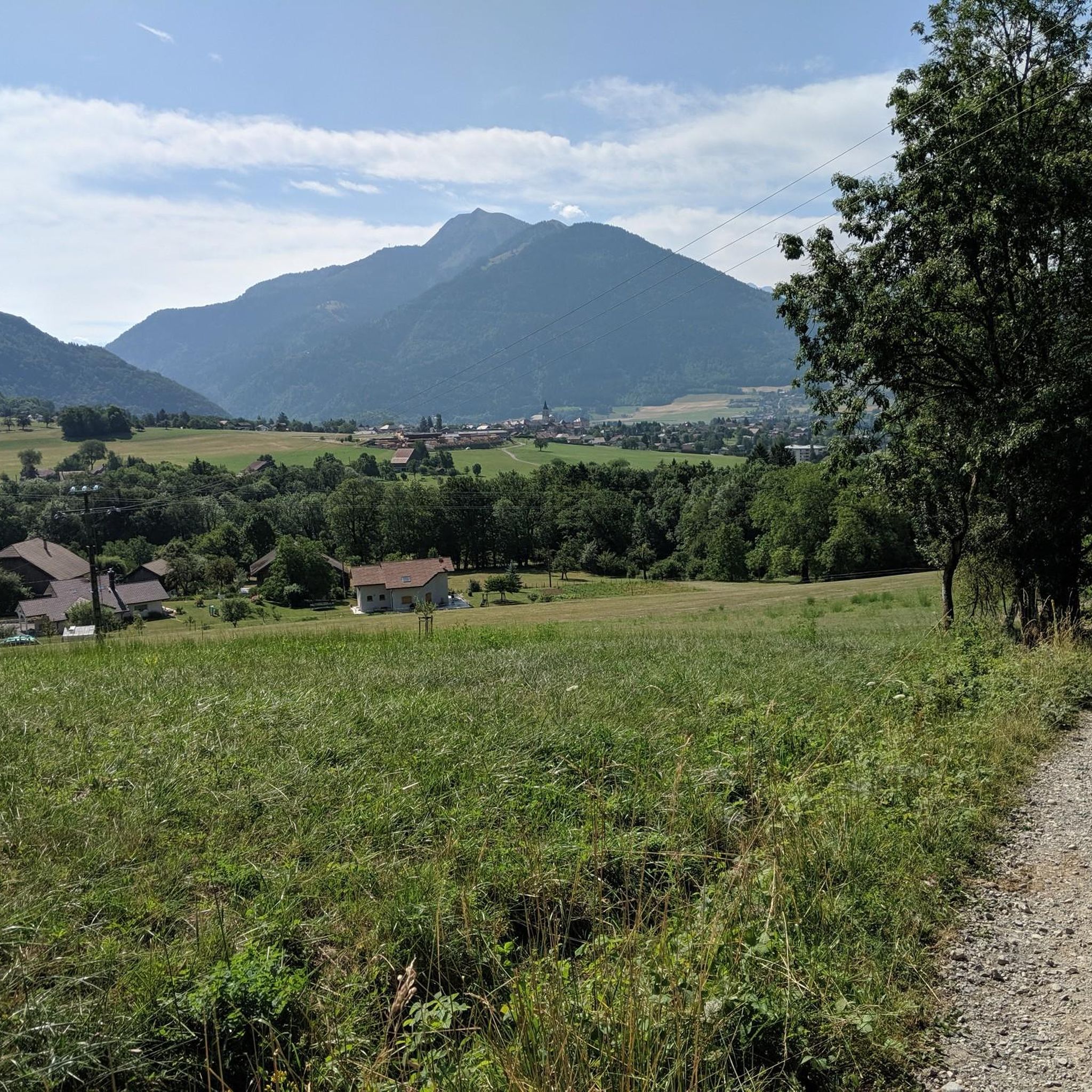
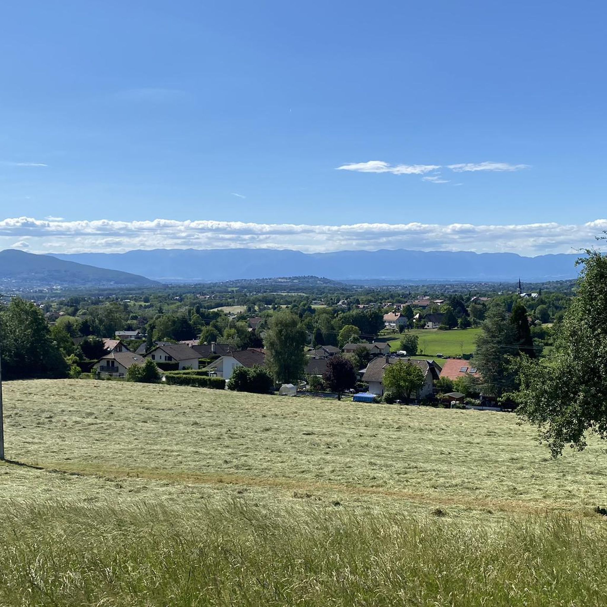
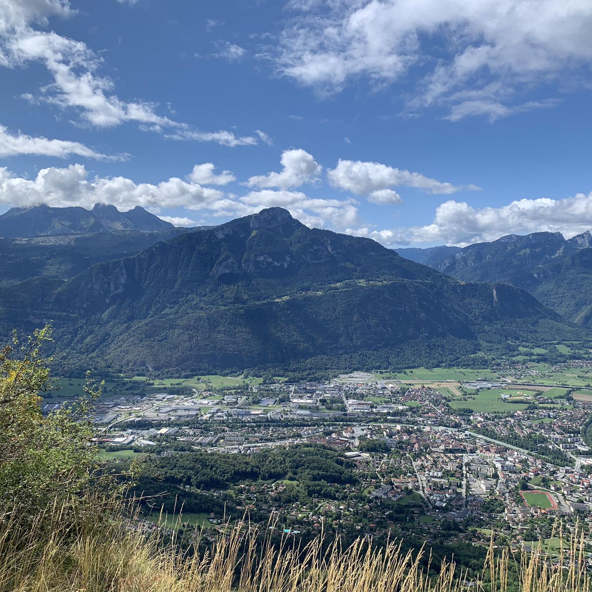
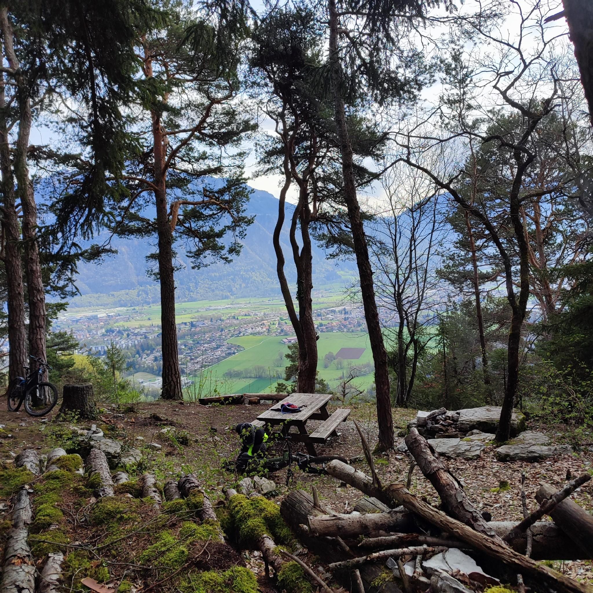
360° view of Mont-Blanc, Dents du Midi, Swiss Alps, the Jura, the Salève, Lake Geneva etc... Absolutely beautiful and with today's cloudless sky it was magnificent.
0
0

Very nice hike. It was quite crowded today. Contrary to what’s written in the description, I didn’t see any particularly risky passages
0
0


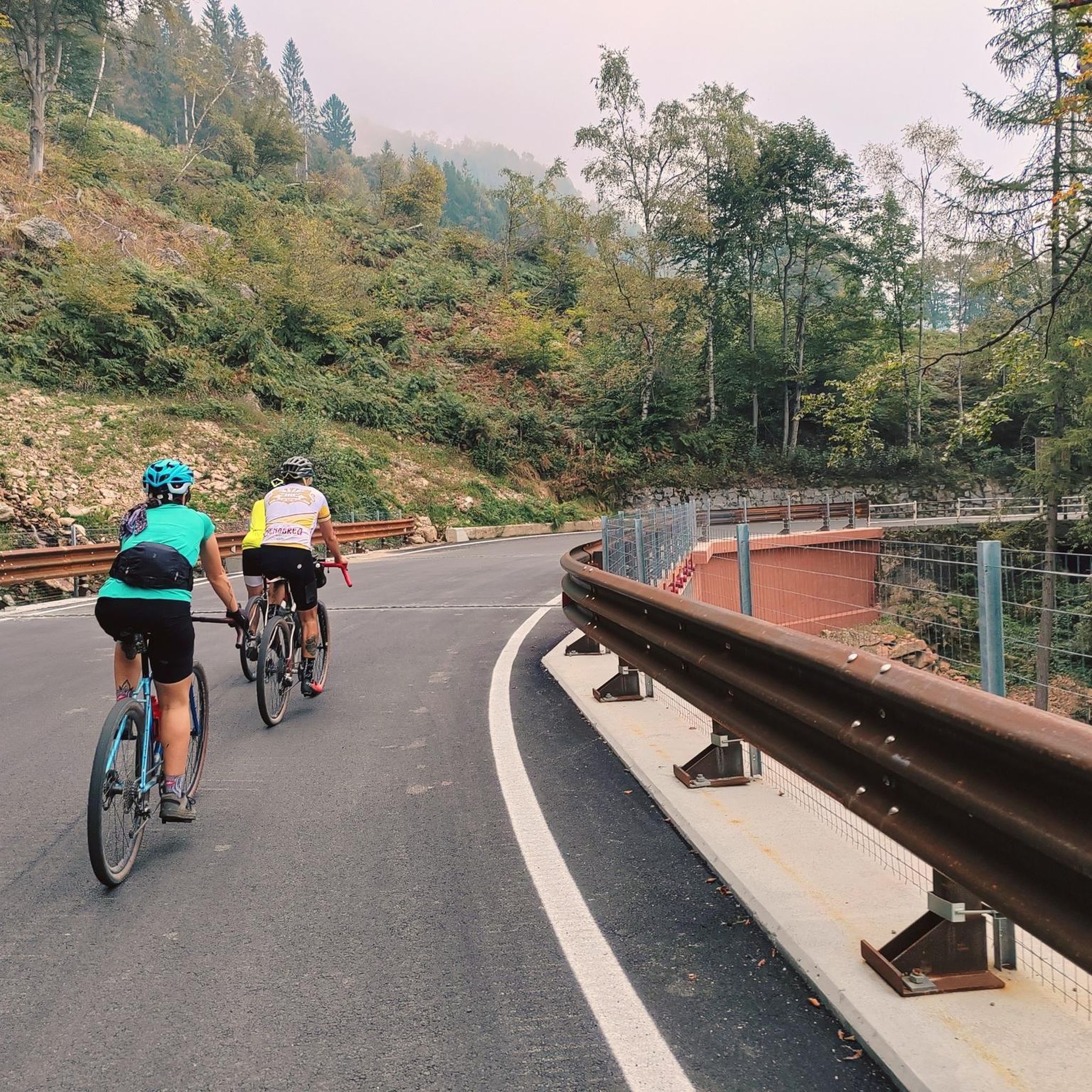
The Ajon climb is signposted from Villard. It is 7.3 kilometres long and has an average gradient of 8.3% with a passage at over 15%. At the top, the view at an altitude of 1,406 metres is delightful.
1
0

Steep ascent, many parts are steeper than 10%. In 2023, this climb was included in the Tour.
0
1


Frequently Asked Questions
How many mountaineering routes are available around Peillonnex?
There are several mountaineering routes around Peillonnex, with komoot featuring 4 distinct tours. These routes offer a mix of moderate and difficult options, primarily focusing on the prominent Le Môle peak and surrounding areas.
What is the best time of year for mountaineering in the Peillonnex region?
The Haute-Savoie region, including Peillonnex, is generally best for mountaineering from late spring through early autumn (May to October). During these months, trails are typically clear of snow, and weather conditions are more stable. However, conditions can vary, especially at higher altitudes, so always check local forecasts before heading out.
Are there any family-friendly mountaineering options near Peillonnex?
While many routes around Peillonnex are rated as difficult, the region offers a range of outdoor activities. For a more accessible mountain experience, the ascent of Le Môle from areas like Saint-Jean de Tholome is considered an 'easy' to 'intermediate' hike, providing significant rewards in terms of scenery. For very young families, the 'Balcons des Grands Prés' near Peillonnex is an easy 7 km loop that combines heritage with nature.
Are dogs allowed on the mountaineering trails around Peillonnex?
Generally, dogs are permitted on many hiking and mountaineering trails in the Haute-Savoie region, but it's crucial to keep them on a leash, especially in areas with livestock or protected wildlife. Always check specific trail regulations or local signage before bringing your dog, as rules can vary by municipality or protected area.
What are the typical difficulty levels and elevation gains for routes around Le Môle?
Routes around Le Môle vary in difficulty. For example, the Petit Môle – Le Môle loop from Ayse is a difficult 8.7 km route with an elevation gain of approximately 667 meters. A longer, more challenging option is the Le Môle – Petit Môle loop from Ayse, which spans 16.4 km and features a substantial ascent of over 1,300 meters.
Are there any circular mountaineering routes in the Peillonnex area?
Yes, several routes around Peillonnex are designed as loops. For instance, the Petit Môle loop from Ayse is a difficult 5.1 km circular route. Another option is the Brantaz Peak loop from Lucinges, a moderate 10 km trail.
What notable natural features or landmarks can I see along the mountaineering routes?
The region around Peillonnex offers several interesting natural features. You might encounter the panoramic views from the Le Môle summit cross. Other nearby attractions include the serene La Gouille aux Morts lake and the dramatic Gorges du Pont du Diable. The Col de Réray mountain pass also offers scenic hiking opportunities.
Is public transport available to reach the mountaineering trailheads near Peillonnex?
While Peillonnex itself is a charming village, direct public transport links to specific trailheads for mountaineering can be limited. It's often recommended to have a car for greater flexibility in accessing the various starting points for routes in the wider Haute-Savoie region. Some larger towns nearby may offer bus services, but connections to remote trailheads might require planning.
Where can I find parking for mountaineering trails around Peillonnex?
Parking availability varies by trailhead. For routes starting from villages like Ayse or Lucinges, you can often find designated parking areas within or at the edge of the village. It's advisable to check local maps or specific route descriptions for detailed parking information before your trip, especially during peak seasons.
Are there any permits required for mountaineering or climbing in the Peillonnex area?
For general hiking and mountaineering on established trails around Peillonnex and Le Môle, permits are typically not required. However, if you plan to engage in more advanced climbing, especially in the nearby Aravis or Mont Blanc massifs, or participate in guided expeditions, specific permits or guide services may be necessary. Always check with local authorities or mountain guides for the latest regulations, particularly for protected areas or technical ascents.
What do other mountaineers enjoy most about the routes near Peillonnex?
The mountaineering routes around Peillonnex are highly rated by the komoot community, with an average score of 4.9 stars from over 7 reviews. Mountaineers often praise the varied terrain, the challenging ascents, and the rewarding panoramic views, particularly from Le Môle, which offers 360-degree vistas of the Alps, Lake Geneva, and the Jura mountains.
Are there any beginner-friendly mountaineering routes in the region?
While many routes are rated difficult, the ascent of Le Môle itself is often described as an 'easy' to 'intermediate' hike, making it a good option for those new to mountaineering but with a reasonable fitness level. For a slightly less demanding but still challenging experience, consider the Pointe de Miribel loop from Bogève, which is a difficult 6.4 km route with a manageable elevation gain of around 298 meters.
What other outdoor activities can be enjoyed near Peillonnex besides mountaineering?
Peillonnex is a great base for various outdoor pursuits. Beyond mountaineering, you can enjoy general hiking on numerous trails, cycling, and mountain biking. The wider Haute-Savoie region also offers activities like paragliding, trail running, climbing (including via ferrata), and caving. Nearby Lake Geneva provides opportunities for water-based leisure.
Most popular routes around Peillonnex
Most popular attractions around Peillonnex

Get inspired with the komoot mobile app


Explore more
Browse the best Mountain Hikes & Routes in other regions.
