The best walks and hikes around Crosses
5.0
(6)
87
hikers
9
hikes
Hiking around Crosses features a network of trails characterized by gentle terrain and low elevation changes. The routes often traverse rural landscapes, passing by lakes and through local villages. This area provides accessible outdoor experiences suitable for various activity levels, with paths winding through open fields and alongside water bodies.
Best hiking trails around Crosses
- The most popular hiking route is Hiking loop from Plaimpied-Givaudins, a 9.8 miles (15.7 km) trail that takes 4 hours 2 minutes to complete.…
Last updated: July 6, 2026
5.0
(3)
8
hikers
6.48km
01:40
30m
30m
Easy hike. Great for any fitness level. Easily-accessible paths. Suitable for all skill levels.
5
hikers
21.2km
05:24
60m
60m
Hard hike. Very good fitness required. Easily-accessible paths. Suitable for all skill levels.

Sign up for free
1
hikers
6.87km
01:46
40m
40m
Easy hike. Great for any fitness level. Easily-accessible paths. Suitable for all skill levels.
4
hikers
Moderate hike. Good fitness required. Easily-accessible paths. Suitable for all skill levels.
3
hikers
5.03km
01:18
30m
30m
Easy hike. Great for any fitness level. Easily-accessible paths. Suitable for all skill levels.
Get access to more routes and recommendations from other explorers.
Sign up for free
Already have an account?
Our route recommendations are based on thousands of hikes, rides, and runs completed by other people on komoot.
Start today with a free account
Your next adventure awaits.
Login or Signup



Tips from the Community


Look out over the marsh… Midway along the route, you'll find this wooden viewing platform. It offers a beautiful view of the rare alkaline peat bog, a unique wetland teeming with unique plants and birds. It's the perfect spot to pause for a moment, grab your binoculars, and experience the landscape from a different perspective (without disturbing the fragile area itself).
3
0
Bourges' city beach… On the north side of the lake lies a surprising city beach. In summer, there's supervised swimming, playground equipment, and a grassy area with benches and tables for picnics and barbecues. The walking path offers beautiful views of the water with the city in the background. A perfect spot for a break, a dip, or just relaxing with your feet in the sand.
3
0
Much more than a city lake... This large lake appears to be a nature reserve, but it was artificially created in the 1970s as a water buffer and recreation area for Bourges. It has since grown into a green oasis where you can spot a surprising number of migratory birds. An added bonus: in summer, concerts and events are regularly held around the lake.
3
0
Much more than a city lake... This large lake appears to be a nature reserve, but it was artificially created in the 1970s as a water buffer and recreation area for Bourges. It has since grown into a green oasis where you can spot a surprising number of migratory birds. An added bonus: in summer, concerts and events are regularly held around the lake.
3
0
It's truly wonderful to see the half-timbered houses in various places around Bourges! You feel like you've stepped back in time...
2
0

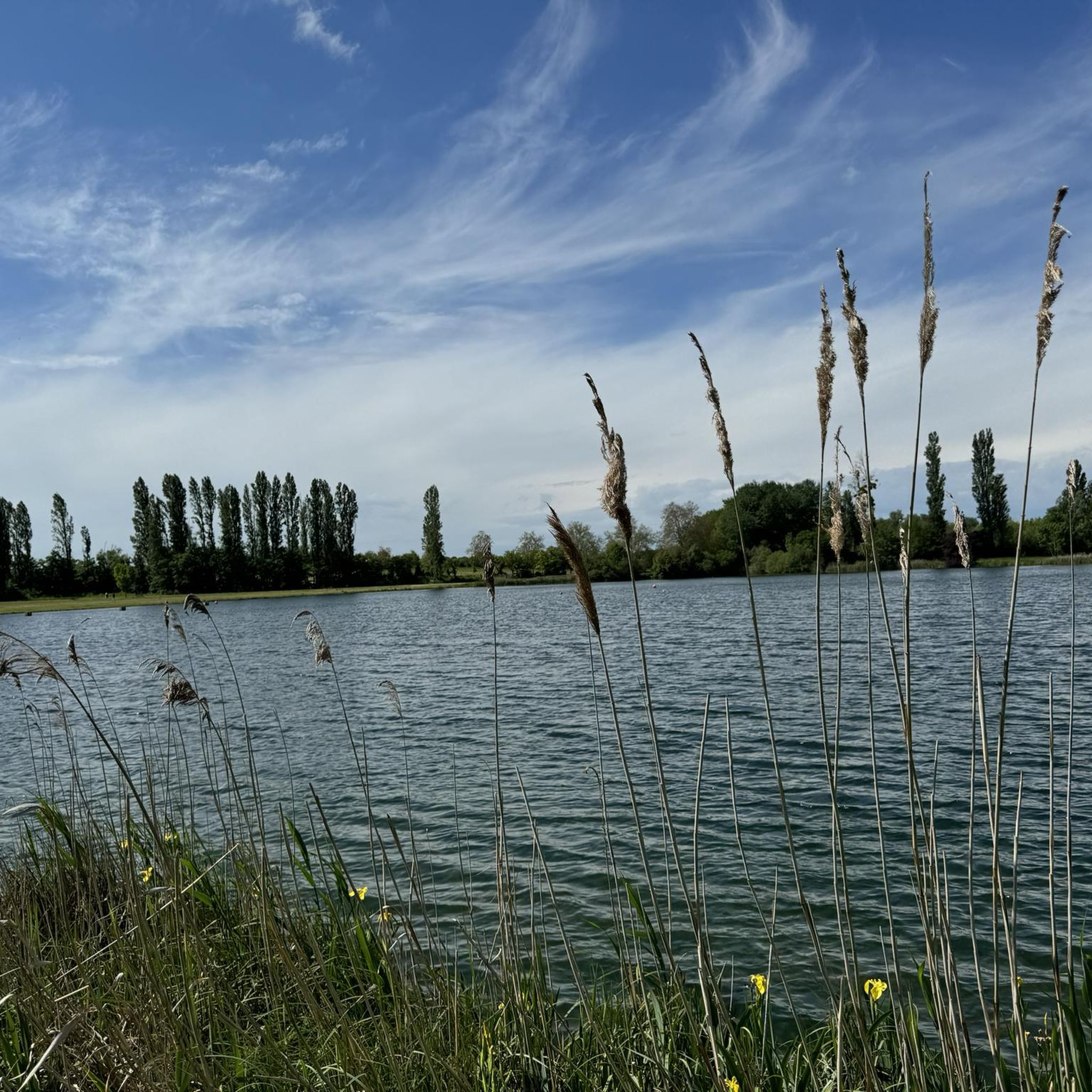
Lac d'Auron is the ideal location for flat walks and bike rides near Bourges, beautifully landscaped and with a public beach.
0
0

Arrive early to be sure of having a place
2
0
Frequently Asked Questions
What kind of hiking experience can I expect around Crosses?
Hiking around Crosses is characterized by gentle terrain and low elevation changes. The routes often traverse rural landscapes, passing by lakes and through local villages, offering accessible outdoor experiences suitable for various activity levels. You'll find paths winding through open fields and alongside water bodies.
How many hiking trails are available in the Crosses region?
There are 6 hiking trails documented in the Crosses region on komoot. These include 3 easy, 2 moderate, and 1 difficult route, providing options for different preferences and fitness levels.
Are there any easy hiking trails suitable for beginners or a relaxed stroll?
Yes, for an easy and relaxed walk, consider the Étang de la Sablette loop from Saint-Michel-de-Volangis. This 5.9 km trail takes about 1 hour 30 minutes to complete. Another easy option is the Saint Martin Abbey loop from Grande Ruesse, which is 6.5 km and takes around 1 hour 40 minutes.
What are some longer or more challenging hiking options in Crosses?
For a more challenging experience, the Val d'Auron – Lake Val d'Auron loop from Plaimpied-Givaudins is a difficult 21.2 km path, typically completed in about 5 hours 24 minutes. A moderate, yet substantial, option is the Hiking loop from Plaimpied-Givaudins, covering 15.7 km in approximately 4 hours 2 minutes.
Are there any circular walks available in Crosses?
Yes, many of the trails in Crosses are designed as circular routes. Examples include the popular Hiking loop from Plaimpied-Givaudins, the challenging Val d'Auron – Lake Val d'Auron loop from Plaimpied-Givaudins, and the shorter Étang de la Sablette loop from Saint-Michel-de-Volangis.
What do other hikers say about the trails in Crosses?
The routes in Crosses are highly rated by the komoot community, with an average score of 5.0 stars from over 4 reviews. Hikers often praise the varied terrain, from open fields to lakeside paths and routes through local villages, which provide a pleasant and accessible outdoor experience.
What interesting places or landmarks can I see along the hiking trails in Crosses?
Along the trails, you can explore several points of interest. Highlights include the scenic Val d'Auron, the historic Saint-Martin Church of Plaimpied, and the Ancienne Voie Ferrée du Tacot de Bourges à Laugère, an old railway line now used as a path.
Are there any trails that pass by lakes or water bodies?
Yes, the region features trails that wind alongside water bodies. The Val d'Auron – Lake Val d'Auron loop from Plaimpied-Givaudins is a prime example, offering a longer challenge around the lake. The Étang de la Sablette loop from Saint-Michel-de-Volangis also provides lakeside views.
Can I find trails that go through villages?
Many routes in Crosses traverse rural landscapes and pass through local villages, offering a glimpse into the local life and architecture. The trails often connect these charming settlements, providing a blend of natural beauty and cultural interest.
How many people have explored the Crosses region using komoot?
More than 50 hikers have used komoot to explore the varied terrain of the Crosses region, indicating its growing popularity among outdoor enthusiasts.
What is the typical elevation gain on hikes in Crosses?
The hikes in Crosses are characterized by low elevation changes. For instance, even the longer Hiking loop from Plaimpied-Givaudins has an elevation gain of only about 75 meters, making most trails accessible and not overly strenuous in terms of climbing.
Most popular attractions around Crosses

Get inspired with the komoot mobile app


Explore more
Browse the best Hikes in other regions.
