The best walks and hikes around Puylausic
4.0
(22)
160
hikers
29
hikes
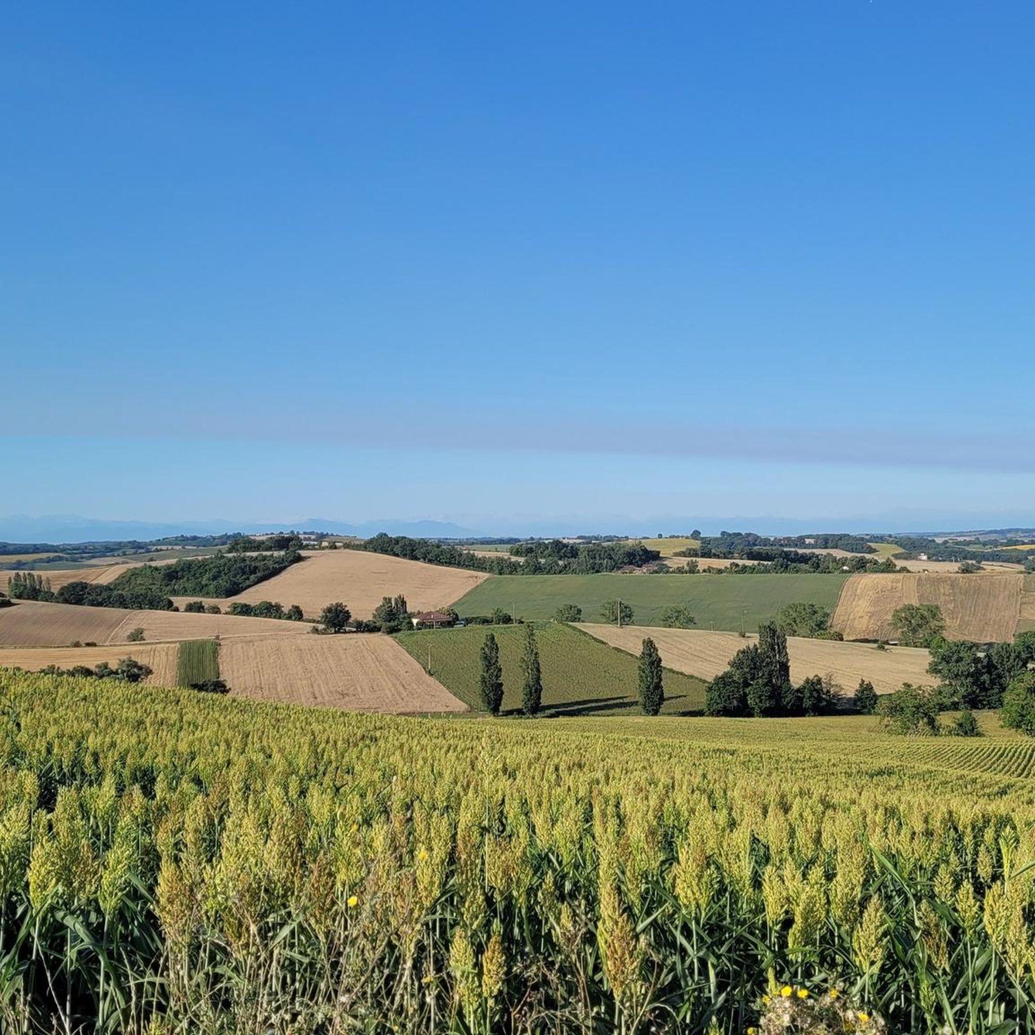
Hiking around Puylausic offers access to the green, rolling hills and valleys of the Savès Gersois region in Occitanie, France. The area is characterized by its rural setting, with altitudes varying between 171 and 295 meters, providing varied inclines and views. The landscape includes a network of rivers like the Aussoue and Espienne, contributing to lush local walks. Nearby natural features such as the expansive Forêt de Bouconne and the Gorges de la Save offer additional trail networks and scenic…
Last updated: July 6, 2026
3.5
(2)
27
hikers
8.98km
02:17
30m
30m
Moderate hike. Good fitness required. Easily-accessible paths. Suitable for all skill levels.
5.0
(3)
10
hikers
9.14km
02:26
100m
100m
Moderate hike. Good fitness required. Easily-accessible paths. Suitable for all skill levels.

Sign up for free
4.0
(1)
15
hikers
5.71km
01:27
20m
20m
Easy hike. Great for any fitness level. Easily-accessible paths. Suitable for all skill levels.
3.5
(2)
25
hikers
7.68km
01:57
20m
20m
Easy hike. Great for any fitness level. Easily-accessible paths. Suitable for all skill levels.
5.0
(2)
8
hikers
11.4km
03:02
130m
130m
Moderate hike. Good fitness required. Easily-accessible paths. Suitable for all skill levels.
Get access to more routes and recommendations from other explorers.
Sign up for free
Already have an account?
Our route recommendations are based on thousands of hikes, rides, and runs completed by other people on komoot.
Start today with a free account
Your next adventure awaits.
Login or Signup

Tips from the Community

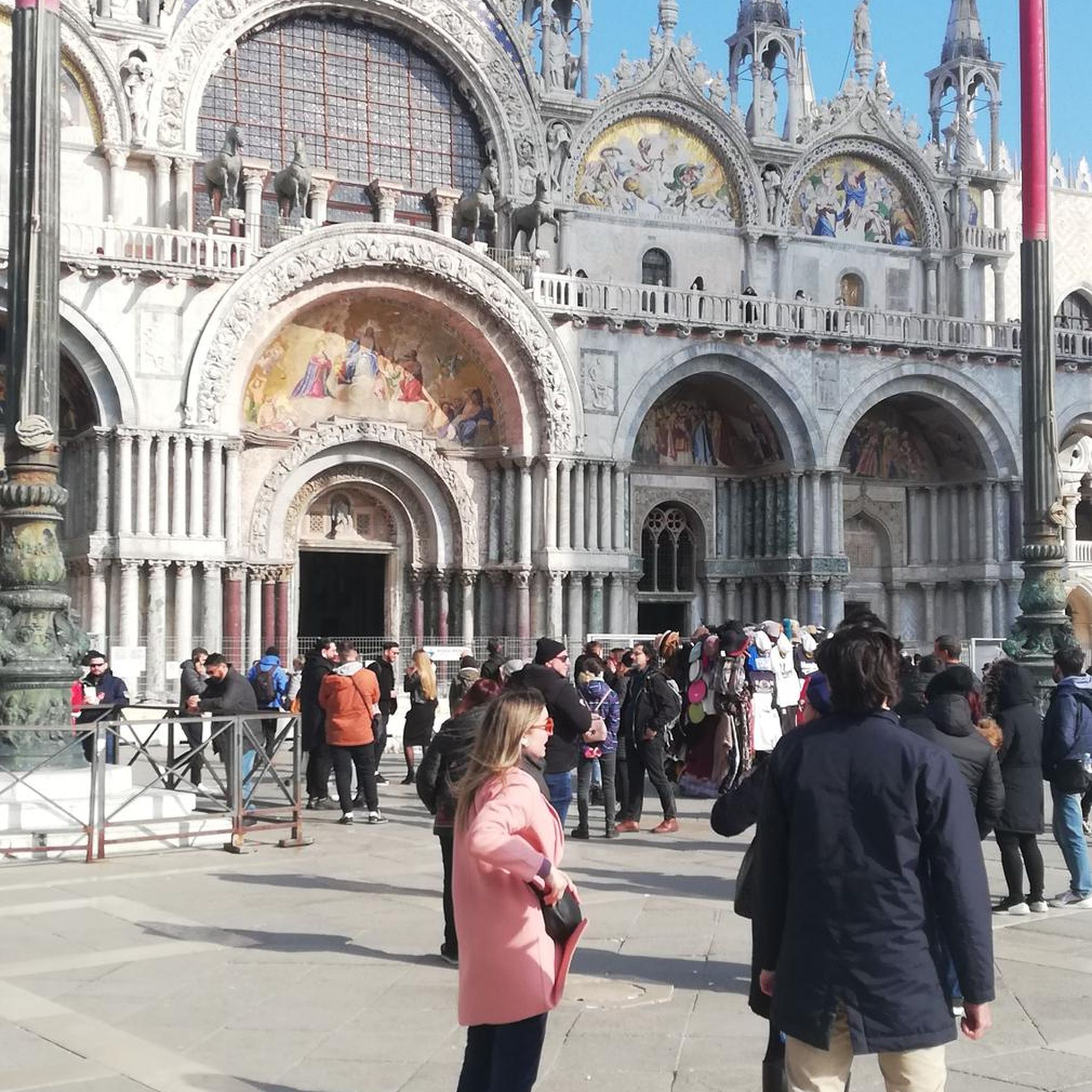
Very pretty town with a beautiful covered market.
0
0


Samatan is famous for its duck and poultry market. You will find many cafes and restaurants there for a city of this size.
0
0
The city center, where most shops and services are located, is now eligible for community funding for its renovation.
0
0
Frequently Asked Questions
How many hiking trails are available around Puylausic?
There are over 20 hiking routes available around Puylausic, offering a variety of experiences from easy strolls to more moderate excursions through the local countryside.
What kind of terrain and landscapes can I expect when hiking near Puylausic?
The region around Puylausic is characterized by its green, rolling hills and valleys, typical of the Savès Gersois area. You'll encounter lush agricultural lands, river valleys formed by the Aussoue and Espienne, and dense woodlands, particularly in areas like the nearby Forêt de Bouconne. The varied altitudes provide gentle inclines and panoramic views, sometimes extending to the Pyrenees on clear days.
Are there hiking trails suitable for families with children?
Yes, Puylausic offers several easy hiking routes perfect for families. For instance, the Samatan Covered Market – Lombez loop from Samatan is an easy 7.4 km trail that traverses gentle countryside, ideal for a leisurely family outing.
Are there any dog-friendly hiking options in the Puylausic area?
Generally, the rural trails around Puylausic are dog-friendly. It's always recommended to keep your dog on a leash, especially when passing through agricultural areas or near livestock, and to ensure you clean up after them. There are no specific restrictions mentioned for the general hiking paths.
Can I find circular hiking routes around Puylausic?
Yes, many of the hiking routes in the Puylausic area are circular, allowing you to start and end your journey in the same location. An example is the Lombez loop from Lombez, which is an easy 7.5 km path exploring the local rural landscape.
Are there any waterfalls or significant natural features to see on the trails?
Yes, you can discover natural features like waterfalls on some routes. The Waterfall Near Samatan loop from Lombez is a popular 11.4 km trail that leads through varied terrain and includes a waterfall. Additionally, the Gorges de la Save, about 33 kilometers away, offers spectacular scenery and pleasant walks along the river.
What do other hikers enjoy the most about hiking in Puylausic?
The hiking routes in Puylausic are highly rated by the komoot community, with an average score of 4.1 stars. Hikers often praise the tranquil rural setting, the green rolling hills, and the well-maintained paths that offer a peaceful immersion in nature. The variety of easy and moderate trails also caters to different preferences.
What are the difficulty levels of the hiking trails near Puylausic?
The trails around Puylausic primarily range from easy to moderate difficulty. There are 8 easy routes and 15 moderate routes, making the area accessible for most hikers. You won't find any technically difficult trails here, allowing for enjoyable walks through the countryside.
Is there parking available at the trailheads?
As Puylausic is a rural area, parking is generally available in or near the villages where many trails begin, such as Samatan or Lombez. Specific parking details for individual trailheads are usually found on the respective route pages.
What is the best time of year to go hiking in Puylausic?
The region's mild climate makes hiking enjoyable for much of the year. Spring and autumn offer pleasant temperatures and vibrant landscapes, with blooming wildflowers or colorful foliage. Summer can be warm, so early morning or late afternoon hikes are often preferred. Winters are generally mild, allowing for crisp, refreshing walks.
Are there any longer hiking routes or pilgrimage paths nearby?
Yes, the broader Gers region is intersected by the famous Chemins de Compostelle (Ways of St. James), which are well-marked pilgrimage routes. While not directly starting in Puylausic, these routes offer opportunities for longer, multi-day hikes with cultural and historical significance, and amenities like accommodation are available along the way.
Can I find amenities like cafes or accommodation near the hiking trails?
Puylausic and nearby villages like Samatan and Lombez offer various amenities. You can find local cafes, restaurants, and accommodation options to refresh and rest after your hikes. These villages serve as good starting points for many of the trails.
Are there any other natural areas to explore besides the immediate vicinity of Puylausic?
Absolutely. The Forêt de Bouconne, located about 32 kilometers from Puylausic, is an expansive forest with 100 kilometers of marked trails, including pedestrian paths and a section of the GR 653. It's a great option for exploring dense woodlands and discovering serene spots like Lac de la Bordette.

Get inspired with the komoot mobile app


Explore more
Browse the best Hikes in other regions.
