The best walks and hikes around Garravet
4.0
(20)
152
hikers
28
hikes
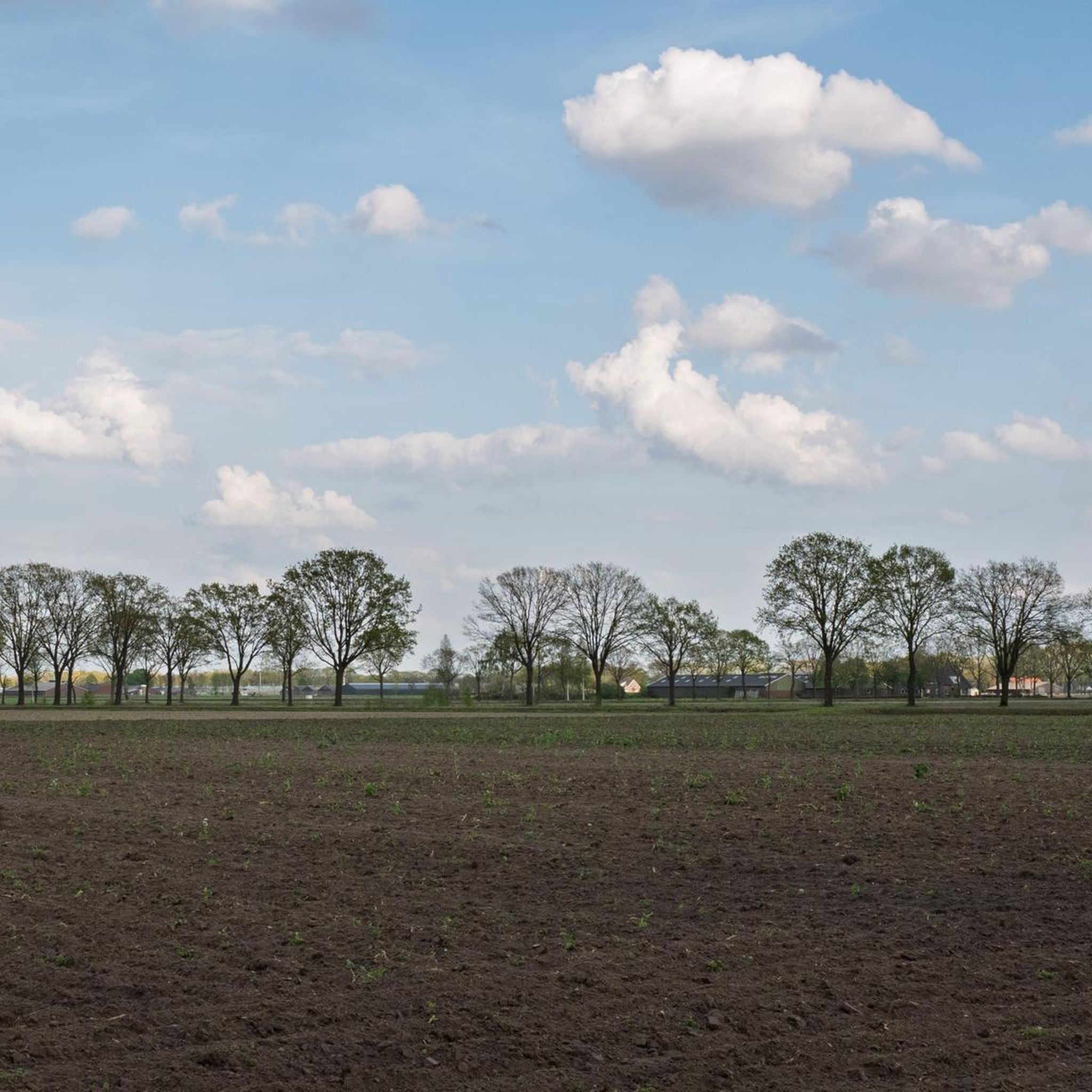
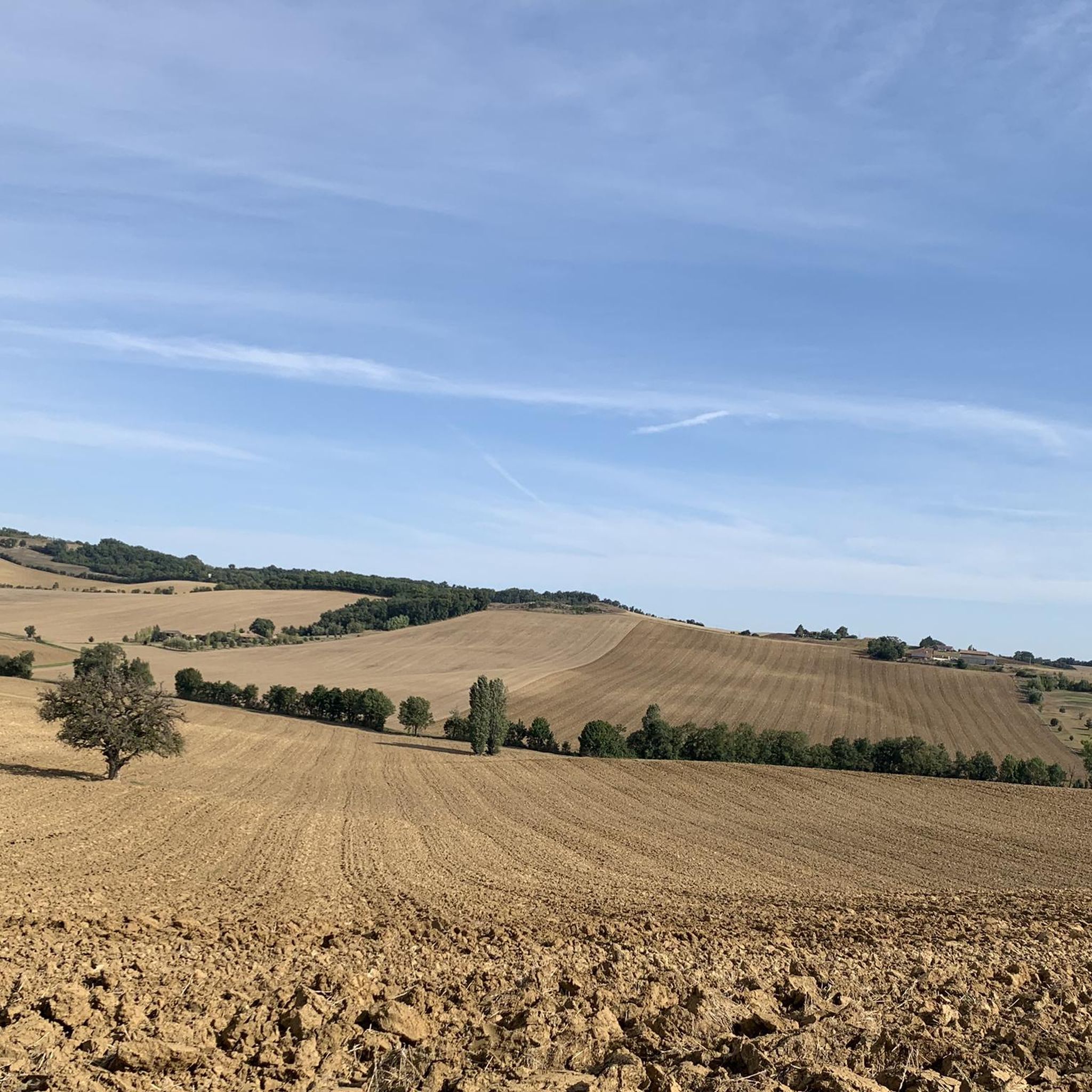
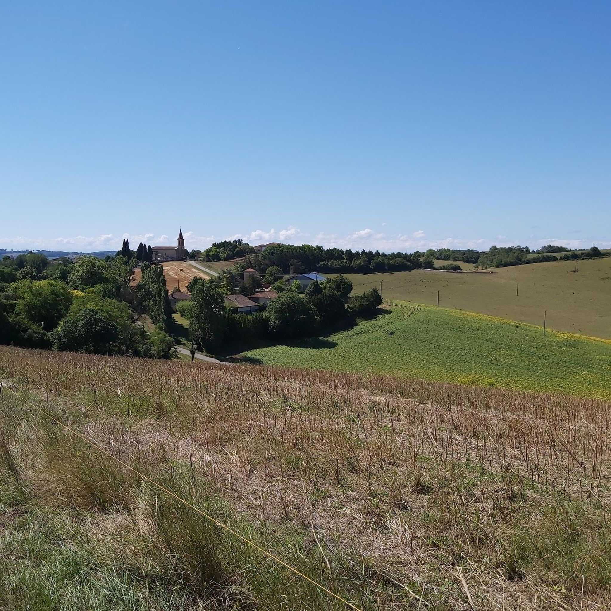
Hiking around Garravet offers access to a landscape characterized by gentle rolling hills and agricultural plains. The region features a network of paths that traverse open countryside and connect small villages. Elevation changes are generally modest, making many routes accessible for various fitness levels. These trails provide opportunities to explore the rural environment of Garravet.
Best hiking trails around Garravet
- The most popular hiking route is Hiking loop from L'Isle-en-Dodon, a 10.8 miles (17.5 km) trail that takes 4…
Last updated: July 6, 2026
4.2
(5)
17
hikers
17.5km
04:49
280m
280m
Moderate hike. Good fitness required. Easily-accessible paths. Suitable for all skill levels.
5.0
(3)
10
hikers
9.14km
02:26
100m
100m
Moderate hike. Good fitness required. Easily-accessible paths. Suitable for all skill levels.

Sign up for free
4.0
(1)
15
hikers
5.71km
01:27
20m
20m
Easy hike. Great for any fitness level. Easily-accessible paths. Suitable for all skill levels.
3.5
(2)
25
hikers
7.68km
01:57
20m
20m
Easy hike. Great for any fitness level. Easily-accessible paths. Suitable for all skill levels.
5.0
(2)
8
hikers
11.4km
03:02
130m
130m
Moderate hike. Good fitness required. Easily-accessible paths. Suitable for all skill levels.
Get access to more routes and recommendations from other explorers.
Sign up for free
Already have an account?
Our route recommendations are based on thousands of hikes, rides, and runs completed by other people on komoot.
Start today with a free account
Your next adventure awaits.
Login or Signup

Tips from the Community


The city center, where most shops and services are located, is now eligible for community funding for its renovation.
0
0
Frequently Asked Questions
How many hiking trails are available in the Garravet region?
There are over 20 hiking trails available in the Garravet region, offering a variety of options for different skill levels. The landscape is characterized by gentle rolling hills and agricultural plains, making many routes accessible.
Are there easy hiking trails suitable for beginners in Garravet?
Yes, Garravet offers 7 easy hiking trails. A good option for a gentle walk is the Lombez loop from Lombez, which is 4.6 miles (7.5 km) long and provides a pleasant experience through the local surroundings.
Can I find circular hiking routes in Garravet?
Many of the trails in Garravet are designed as circular routes, allowing you to start and end in the same location. For example, the Hiking loop from L'Isle-en-Dodon is a popular 10.8-mile (17.5 km) circular trail exploring the varied rural landscape.
Are there any hikes in Garravet that feature waterfalls?
Yes, you can find trails that lead to local natural features like waterfalls. The Waterfall Near Samatan loop from Lombez is a 7.0-mile (11.4 km) moderate trail that takes you through a landscape featuring a waterfall.
What do other hikers enjoy most about the trails in Garravet?
The trails in Garravet are highly rated by the komoot community, with an average score of 4.0 stars from over 10 reviews. Hikers often praise the region's gentle rolling hills, agricultural plains, and the network of paths that connect small villages, providing a peaceful rural experience.
Are the hiking trails in Garravet suitable for families with children?
Garravet's landscape of gentle rolling hills and modest elevation changes makes many trails suitable for families. The 7 easy routes are particularly good for walks with children. The Lombez loop from Lombez is a shorter, easy option that families might enjoy.
Are dogs allowed on the hiking trails in Garravet?
Generally, dogs are welcome on trails in rural areas like Garravet, especially when kept on a leash. Given the agricultural nature of the region, it's always advisable to keep dogs under control to protect livestock and wildlife. There are no specific restrictions mentioned for the trails in this area.
What is the best time of year to go hiking in Garravet?
The Garravet region, with its agricultural plains and gentle hills, is generally pleasant for hiking during spring, summer, and autumn. Spring offers blooming landscapes, while autumn provides comfortable temperatures and changing colors. Summers can be warm, so early morning or late afternoon hikes are recommended. Winter hikes are also possible, though some paths might be muddy after rain.
Are there longer, moderate hiking options in Garravet?
Yes, Garravet offers 16 moderate hiking trails for those looking for a longer challenge. The Hiking loop from Montamat is a good example, covering 6.9 miles (11.1 km) with moderate elevation changes, offering a more extended exploration of the countryside.
Are there any cafes or refreshment stops near the hiking trails in Garravet?
The Garravet region features small villages connected by its network of paths. While specific cafes on trails are not listed, many of these villages, such as L'Isle-en-Dodon or Lombez, offer local amenities where you can find refreshments before or after your hike.
Do I need a permit to hike on the trails around Garravet?
No, there is no indication that permits are required for hiking on the general network of paths around Garravet. These trails typically traverse open countryside and connect villages, making them freely accessible for public use.
Is there public transport available to access hiking trails in Garravet?
Garravet is a rural region, and public transport options might be limited. Access to trailheads often relies on personal vehicles. It's advisable to check local bus schedules for specific villages like L'Isle-en-Dodon or Lombez if you plan to use public transport, as services may not directly reach all starting points.
Where can I find parking for hiking trails near Garravet?
Parking is generally available in the villages that serve as starting points for many trails, such as L'Isle-en-Dodon, Lombez, or Samatan. Look for designated public parking areas within these villages, which are usually free of charge.

Get inspired with the komoot mobile app


Explore more
Browse the best Hikes in other regions.
