The best mountain hikes around La Léchère
4.6
(16)
178
hikers
17
hikes
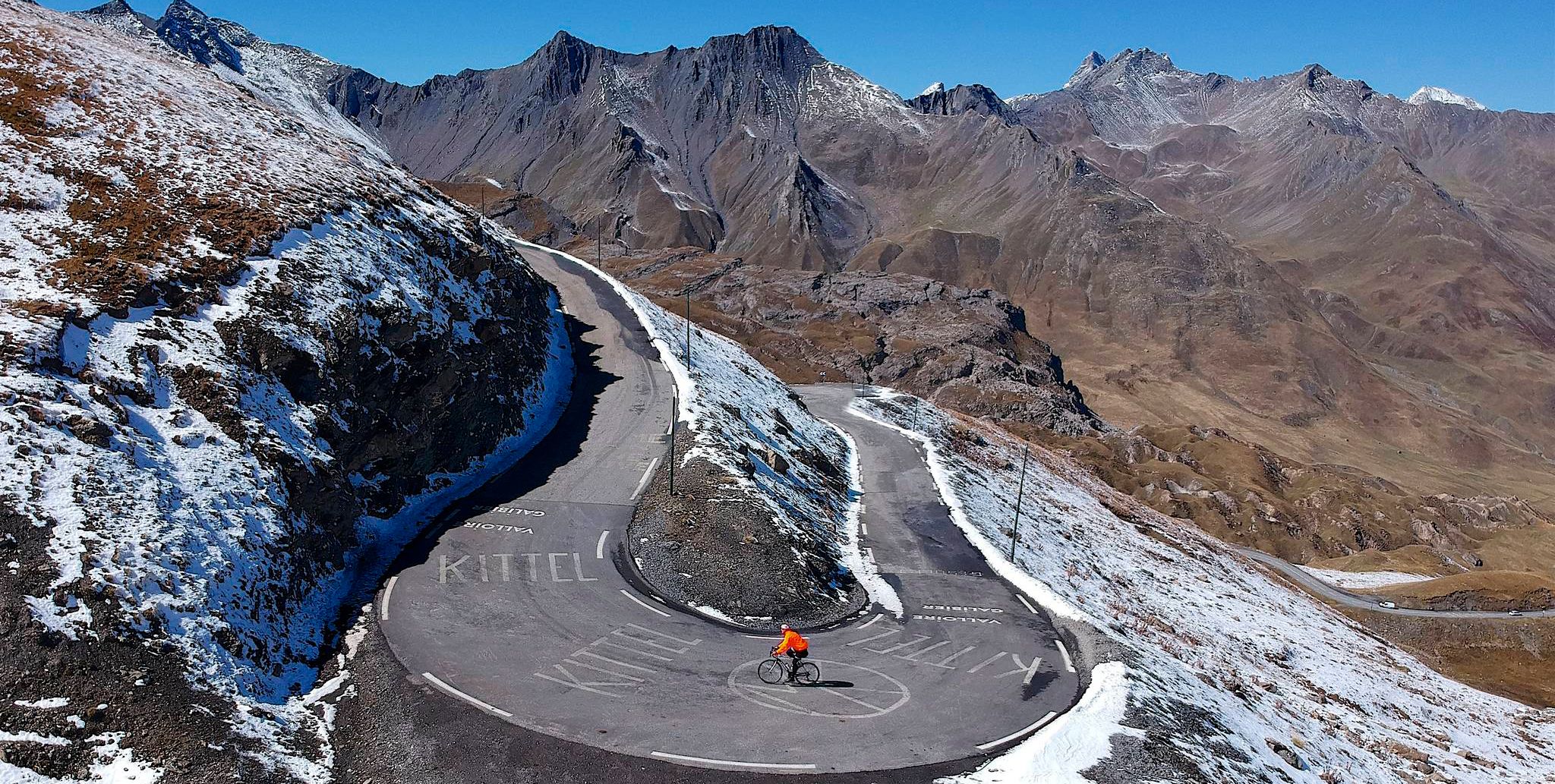
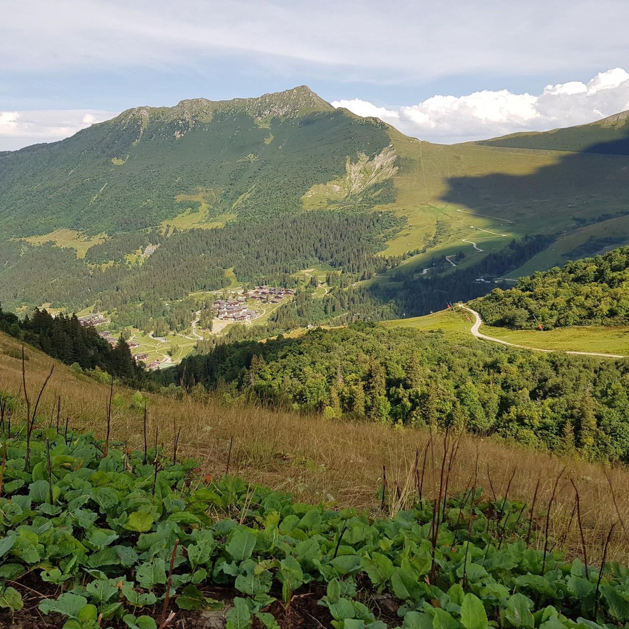
Mountaineering routes around La Léchère are characterized by significant elevation gains and challenging terrain within the French Alps. The region features a landscape of high mountain passes, alpine lakes, and rugged peaks, offering demanding ascents and descents. These routes often traverse varied environments, including rocky slopes and forested sections, providing a comprehensive mountaineering experience.
Best mountaineering routes around La Léchère
- The most popular mountaineering route is Pointe de la Grande Combe loop from Le Bois, a 6.4 miles (10.2…
Last updated: July 6, 2026
5.0
(2)
21
hikers
10.9km
04:45
970m
970m
Hard mountaineering route. Very good fitness required. Mostly accessible paths. Sure-footedness required.
26
hikers
11.9km
05:35
930m
930m
Hard mountaineering route. Very good fitness required. Sure-footedness, sturdy shoes and alpine experience required.

Sign up for free
4.0
(2)
8
hikers
16.3km
07:48
1,150m
1,150m
Hard mountaineering route. Very good fitness required. Sure-footedness, sturdy shoes and alpine experience required.
8
hikers
16.7km
07:44
1,440m
1,440m
Hard mountaineering route. Very good fitness required. Sure-footedness, sturdy shoes and alpine experience required.
8
hikers
15.5km
06:44
1,230m
1,220m
Hard mountaineering route. Very good fitness required. Sure-footedness, sturdy shoes and alpine experience required.
Get access to more routes and recommendations from other explorers.
Sign up for free
Already have an account?
Our route recommendations are based on thousands of hikes, rides, and runs completed by other people on komoot.
Start today with a free account
Your next adventure awaits.
Login or Signup
Popular around La Léchère




Tips from the Community

Beautiful view towards Mount Bellacha and the Grand Arc.
0
0

Beautiful alpine lake worth visiting.
0
0
The site is a destination in itself. From the lake, access to various classic hikes: towards the Col de la Louze, towards the Lac des Fées...
0
0
View of the lake on an August morning, from the south bank.
0
0

Beautiful lake, superb mountains, heavenly place.
0
0
Superb Himalayan footbridge over an azure blue lake with views of the mountains, splendid!
0
0

At 2,119 meters above sea level, the Col de la Louse divides the Beaufortain massif and the Tarentaise valley. It is an essential passage to access the Grand Mont and the Tempête lakes.
1
0
Frequently Asked Questions
What is the typical difficulty and duration of mountaineering routes around La Léchère?
Mountaineering routes in La Léchère are predominantly challenging. Out of 21 available routes, 18 are classified as difficult, with 3 moderate options. You can expect significant elevation gains. Durations vary, but difficult routes often range from 4 to 8 hours or more, such as the Lac de Saint-Guérin – Le Grand Mont loop from Barrage de Saint-Guérin, which typically takes around 8 hours.
Are there options for beginners, or are routes mostly for experienced mountaineers?
The mountaineering routes around La Léchère are primarily suited for experienced mountaineers, with 18 out of 21 routes rated as difficult. While there are 3 moderate options, true beginner-level mountaineering routes are not available in this selection. These trails often involve sustained climbing and rugged alpine terrain.
When is the best time of year to go mountaineering in La Léchère?
The prime season for mountaineering in La Léchère is typically from late spring to early autumn (June to September). During these months, snow has generally melted from higher elevations, and weather conditions are more stable, offering clearer paths and better visibility. Always check local weather forecasts and trail conditions before heading out.
Is winter mountaineering possible in La Léchère, and what are the conditions like?
Winter mountaineering in La Léchère is possible but requires significant experience, specialized gear, and careful planning. The region experiences heavy snowfall, and routes can be subject to avalanche risk, icy conditions, and extreme cold. It's essential to have avalanche safety equipment and knowledge, or to go with a certified mountain guide during winter months.
What essential gear should I bring for mountaineering in La Léchère?
For mountaineering in La Léchère, essential gear includes sturdy hiking boots, layered clothing suitable for varying alpine weather, waterproof and windproof outerwear, a backpack with sufficient water and food, a map and compass or GPS device, first-aid kit, headlamp, and sun protection. Depending on the route and season, you might also need trekking poles, crampons, or an ice axe.
Are there many circular mountaineering routes available?
Yes, many of the mountaineering routes around La Léchère are designed as loops, allowing you to start and finish at the same point. Examples include the popular Pointe de la Grande Combe loop from Le Bois and the challenging Le Grand Mont loop from Arêches Beaufort.
What can I see along the mountaineering routes in terms of natural landmarks?
The mountaineering routes in La Léchère offer stunning natural landmarks. You can encounter beautiful alpine lakes like Lac Blanc, impressive summits such as Le Grand Mont and Roche Parstire, and scenic viewpoints like the View of the Cascade du Morel. Many routes also traverse high mountain passes, offering expansive vistas.
Are there any routes with cafes or refuges along the way?
While specific cafes directly on the mountaineering routes are not common, many trails in the French Alps pass near or through areas with mountain refuges (huts). These refuges often provide basic accommodation, food, and drinks. It's advisable to research individual routes and check for refuge availability and opening times, especially for longer tours like the Lac de Lavouet – Lac Sans Fond loop from Le Planay.
How accessible are mountaineering routes by public transport?
Access to mountaineering routes in La Léchère by public transport can be limited, as many trailheads are located in more remote mountain areas. While some villages or towns might have bus services, reaching specific starting points often requires a car. It's recommended to check local bus schedules for the Tarentaise Valley or consider carpooling if you plan to rely on public transport.
Do I need any permits for mountaineering in La Léchère?
Generally, no specific permits are required for day mountaineering trips on established trails in the La Léchère area. However, if you plan to camp overnight in certain protected areas or national parks, or if you are undertaking highly technical ascents, specific regulations might apply. Always check with local tourist offices or park authorities for the most current information.
What do other mountaineers enjoy the most about mountaineering in La Léchère?
The mountaineering experience in La Léchère is highly rated by the komoot community, with an average score of 4.4 stars from over 15 reviews. Mountaineers frequently praise the challenging ascents, the stunning alpine lakes, and the rugged mountain passes that define the region. The diverse terrain, from rocky slopes to forested sections, also contributes to a comprehensive and rewarding experience.
Can you recommend a less-trafficked mountaineering route for a quieter experience?
For a potentially quieter experience away from the most popular trails, consider exploring routes that venture deeper into the less frequented valleys. While all routes offer a sense of wilderness, the Lac Noir – Le Grand Arc loop from Tioulévé offers a challenging and rewarding journey through high mountain terrain, which might provide a more secluded feel compared to routes closer to major access points.
Most popular routes around La Léchère
Most popular attractions around La Léchère

Get inspired with the komoot mobile app


Explore more
Browse the best Mountain Hikes & Routes in other regions.
