The best mountain hikes around Saint-Oyen
4.7
(4)
22
hikers
2
hikes
Mountaineering around Saint-Oyen offers challenging routes through the mountainous terrain of the Aosta Valley. The region is characterized by high mountain passes, alpine lakes, and prominent peaks, providing varied landscapes for ascents. These routes often traverse rocky paths and open slopes, with significant elevation gains.
Best mountaineering routes around Saint-Oyen
- The most popular mountaineering route is Mont Jovet – Col du Jovet loop from Notre-Dame-du-Pré, a difficult 14.3 miles (23.0 km) trail that takes about 9 hours 7 minutes…
Last updated: July 6, 2026
5.0
(1)
10
hikers
23.1km
09:08
1,440m
1,440m
Hard mountaineering route. Very good fitness required. Mostly accessible paths. Sure-footedness required.
7
hikers
15.5km
06:44
1,230m
1,220m
Hard mountaineering route. Very good fitness required. Sure-footedness, sturdy shoes and alpine experience required.

Sign up for free
4.3
(3)
4
hikers
10.8km
03:58
620m
620m
Moderate mountaineering route. Good fitness required. Mostly accessible paths. Sure-footedness required.
Our route recommendations are based on thousands of hikes, rides, and runs completed by other people on komoot.
Start today with a free account
Your next adventure awaits.
Login or Signup
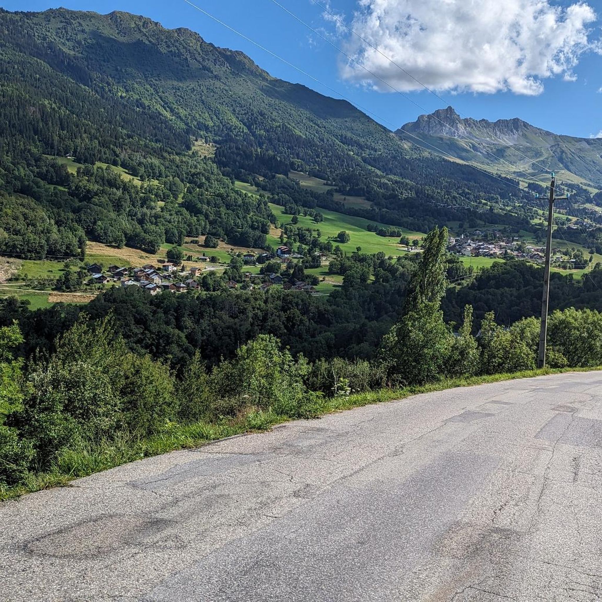
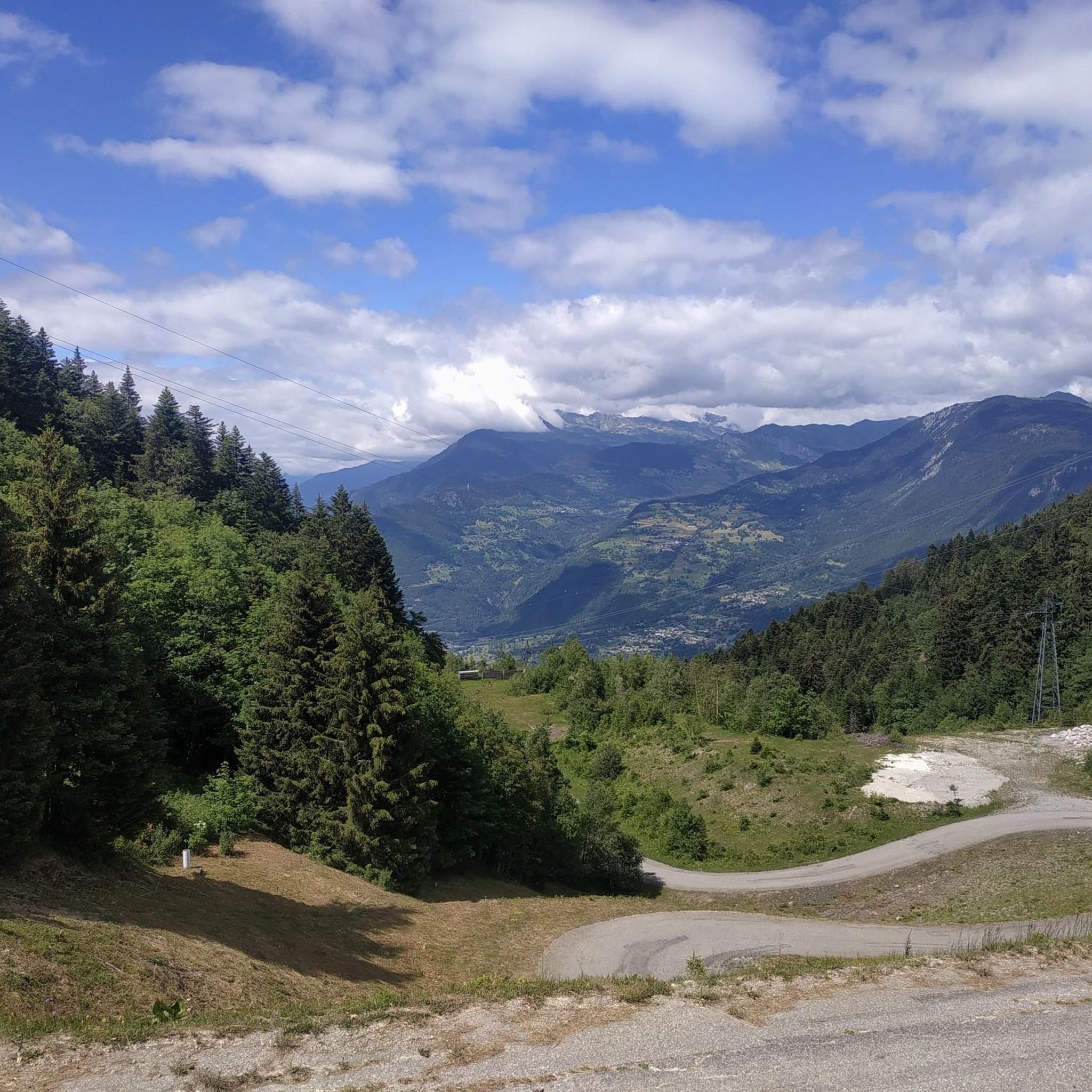
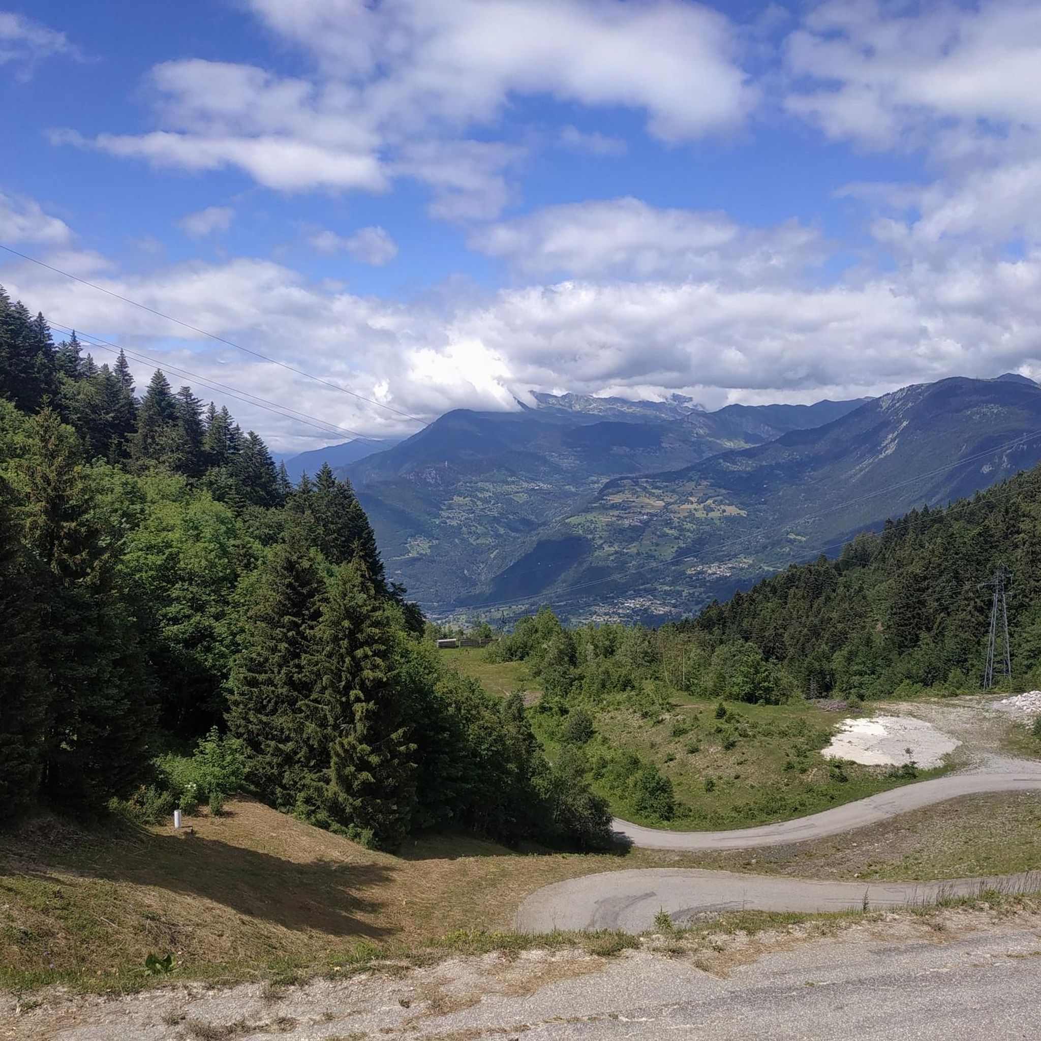
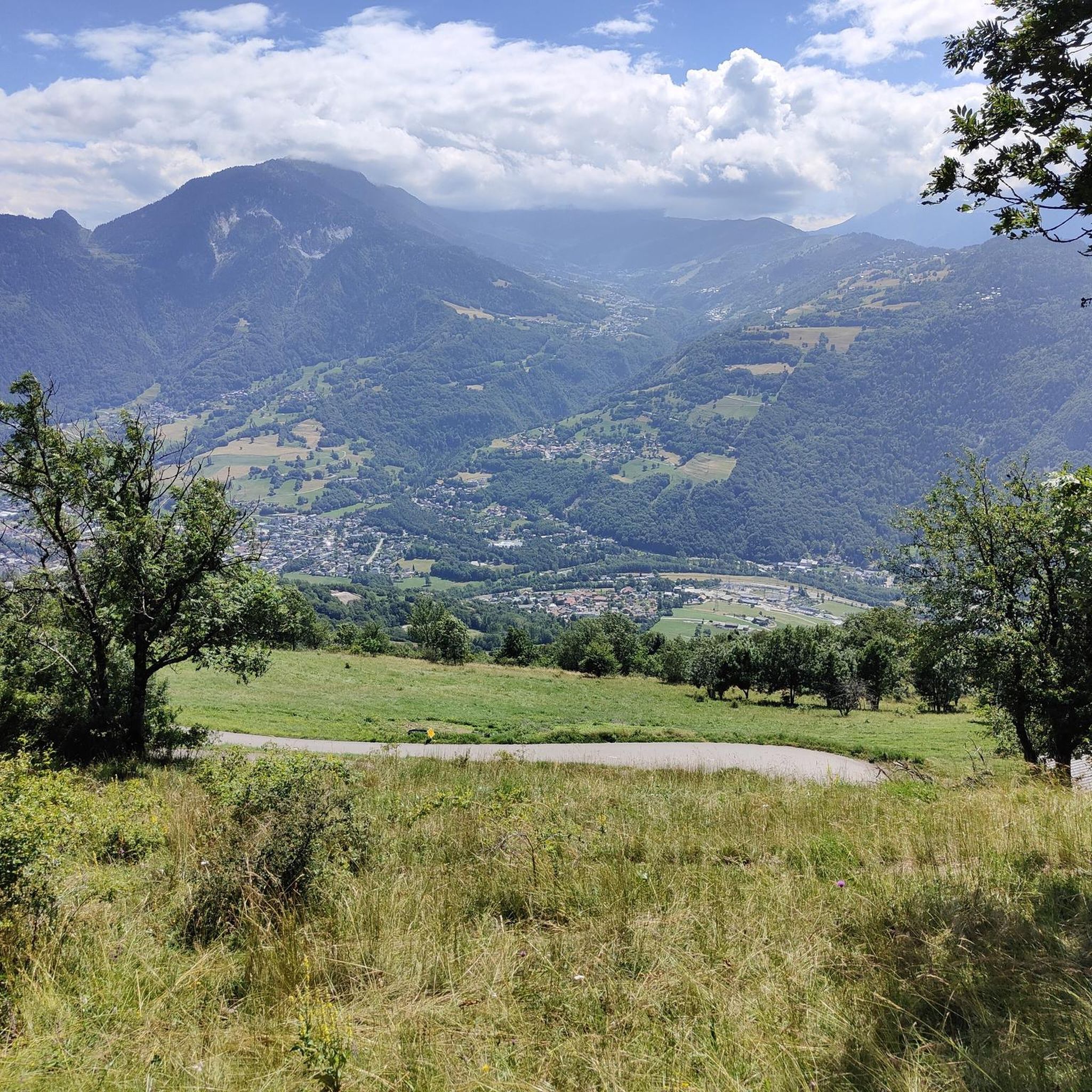
Tips from the Community


The Grand Arc is located at 2,484 meters. From here there are splendid views of Mont Blanc, Vanoise and Bauges.
0
0

Beautiful 22 kilometer unpaved climb to the Col du Jovet above Bozel in the Vanoise Alps. It is a huge and fabulous climb (almost 2000 meters of ascent). But the views from the top of the south side, including an attractive farm road, promised an even better climb. We start at Bozel, well below Courchevel. The first 6 kilometers are paved, but it turns into a bumpy farm road at 1300 meters of altitude. After the flat part in the middle of the previous profile, the route rises above the tree line. The trail is occasionally very rough and rocky, although it gets better higher up. But this requires a mountain bike or at least a suspension hybrid. The path ends at 2360 meters at the Refuge du Jovet, but the Col itself is only a few hundred meters away, a short steep walk.
1
0


Absolutely sublime...however requires good physical condition, good cardio and good shoes. Pay attention to certain passages if you don't want to find yourself 500m lower!
0
1

superb landscapes, well marked walks
0
1
Frequently Asked Questions
What kind of mountaineering routes can I expect around Saint-Oyen?
Mountaineering around Saint-Oyen primarily features routes with significant elevation gains, traversing rocky paths and open slopes. You'll find options ranging from moderate to difficult, often leading to high mountain passes, alpine lakes, and prominent peaks within the Aosta Valley.
Are there any circular mountaineering routes available near Saint-Oyen?
Yes, several routes are designed as loops, allowing you to start and finish at the same point. For example, the challenging Mont Jovet – Col du Jovet loop from Notre-Dame-du-Pré takes you through a mountain pass, while the Lac Noir – Le Grand Arc loop from Tioulévé explores high-altitude lakes and offers panoramic views.
What are the typical durations for mountaineering routes in this area?
The duration varies significantly based on the route's difficulty and length. Moderate routes like the Col du Galot – View of the Valley loop from Parking Cheval Blanc can be completed in under 4 hours, while more difficult and longer expeditions, such as the Mont Jovet – Col du Jovet loop, can take over 9 hours.
Are there any easier or moderate mountaineering options for beginners or those seeking a less strenuous experience?
While many routes are challenging, there are moderate options available. The Col du Galot – View of the Valley loop from Parking Cheval Blanc is a moderate 10.8 km trail offering expansive valley views. Another moderate choice is the Lac de l'Arpettaz loop from Le Logis des Fées, which is shorter at 5.5 km.
What do other mountaineers say about the routes around Saint-Oyen?
The mountaineering routes around Saint-Oyen are highly rated by the komoot community, with an average score of 4.7 stars from several reviews. Over 20 mountaineers have used komoot to explore this varied terrain, often praising the challenging ascents, scenic alpine lakes, and panoramic mountain vistas.
What kind of views and natural features can I expect along the mountaineering trails?
The routes offer diverse natural beauty, including high mountain passes, serene alpine lakes, and breathtaking panoramic views of the Aosta Valley. You might encounter features like those found on the Lac Noir – Le Grand Arc loop, which explores high-altitude lakes and offers expansive vistas from Le Grand Arc.
Are there any interesting landmarks or attractions near the mountaineering routes?
Yes, the region offers several points of interest. You might find attractions such as the Brides-les-Bains settlement, the scenic View of the Cascade du Morel, or the Col de la Loze mountain pass. These can be explored as part of your trip to the area.
What is the best time of year for mountaineering in Saint-Oyen?
Mountaineering in the Aosta Valley, where Saint-Oyen is located, is generally best during the summer months (June to September) when snow has largely receded from higher elevations, and weather conditions are more stable. Always check local weather forecasts and trail conditions before heading out, especially for higher altitude routes.
Are there any specific challenges or considerations for advanced mountaineers in Saint-Oyen?
Advanced mountaineers will appreciate the significant elevation gains and technical sections found on routes like the Mont Jovet – Col du Jovet loop, which covers 23 km with over 1400 meters of ascent. These routes often involve rocky paths and exposed terrain, requiring good physical condition and experience.
Is it possible to find less crowded mountaineering routes around Saint-Oyen?
While specific crowd levels can vary, exploring routes during off-peak hours or shoulder seasons (late spring, early autumn) can often lead to a more solitary experience. Focusing on routes that are not explicitly highlighted as 'most popular' might also offer a quieter adventure.
What are the parking options for accessing mountaineering trails near Saint-Oyen?
Access points for routes often include designated parking areas. For instance, the Col du Galot – View of the Valley loop starts from Parking Cheval Blanc, indicating specific parking availability for that trail. It's advisable to check the starting point details for each route on komoot for precise parking information.
Most popular attractions around Saint-Oyen

Get inspired with the komoot mobile app


Explore more
Browse the best Mountain Hikes & Routes in other regions.
