The best mountain hikes around Montvernier
5.0
(1)
9
hikers
2
hikes
Mountaineering around Montvernier offers routes through varied alpine terrain, characterized by significant elevation changes and panoramic views of the surrounding mountains. The region features high-altitude lakes, prominent summits, and forested sections, providing diverse challenges for mountaineers. Ascents often lead to open ridges and peaks, with some routes exploring the upper reaches of the Maurienne Valley.
Best mountaineering routes around Montvernier
- The most popular mountaineering route is White Lake – Blue Lake loop from Saint-François-Longchamp 1650, an 8.7 miles (14.1…
Last updated: July 6, 2026
5.0
(1)
8
hikers
14.4km
06:22
1,180m
1,180m
Hard mountaineering route. Very good fitness required. Mostly accessible paths. Sure-footedness required.
1
hikers
9.01km
03:11
500m
500m
Moderate mountaineering route. Good fitness required. Easily-accessible paths. Suitable for all skill levels.

Sign up for free
1
hikers
2.82km
00:56
140m
130m
Easy mountaineering route. Great for any fitness level. Easily-accessible paths. Suitable for all skill levels.
Our route recommendations are based on thousands of hikes, rides, and runs completed by other people on komoot.
Start today with a free account
Your next adventure awaits.
Login or Signup
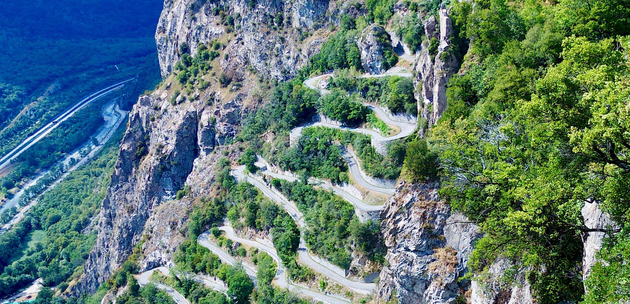
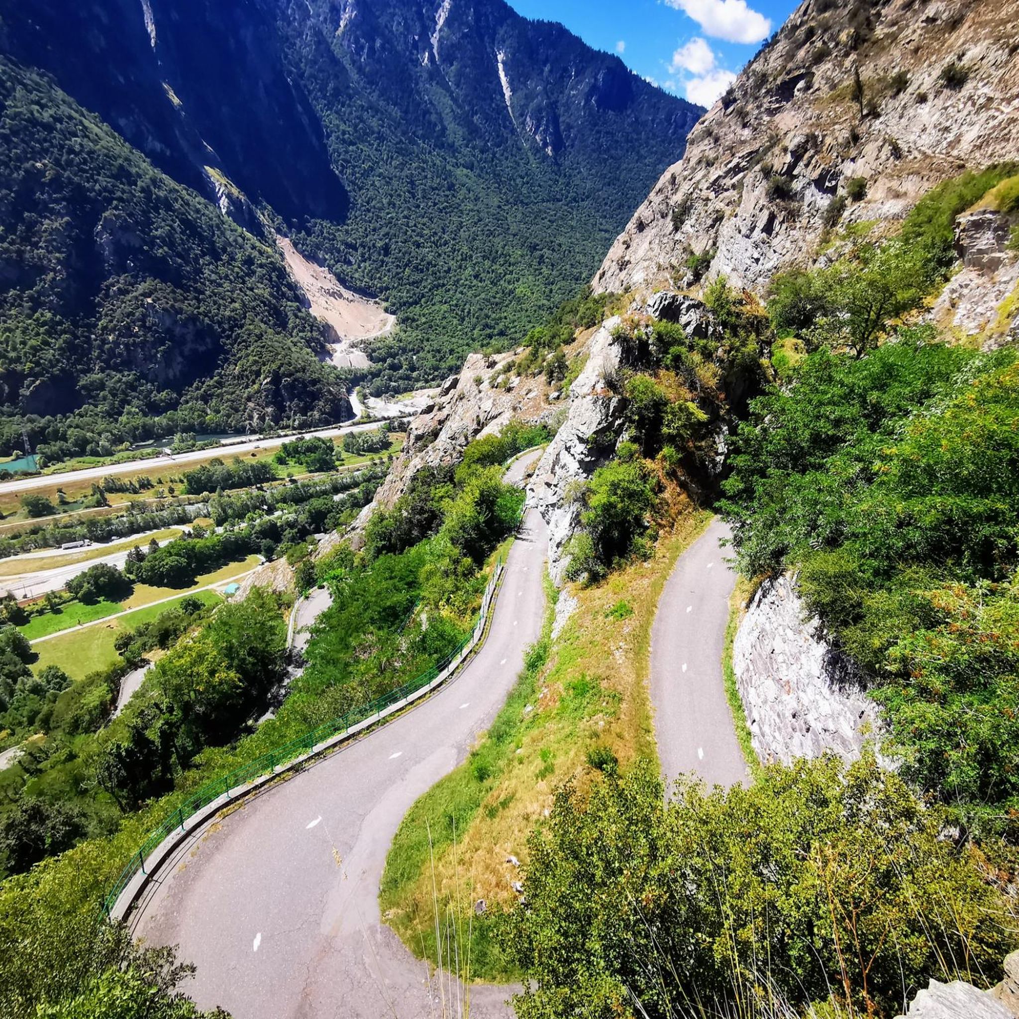
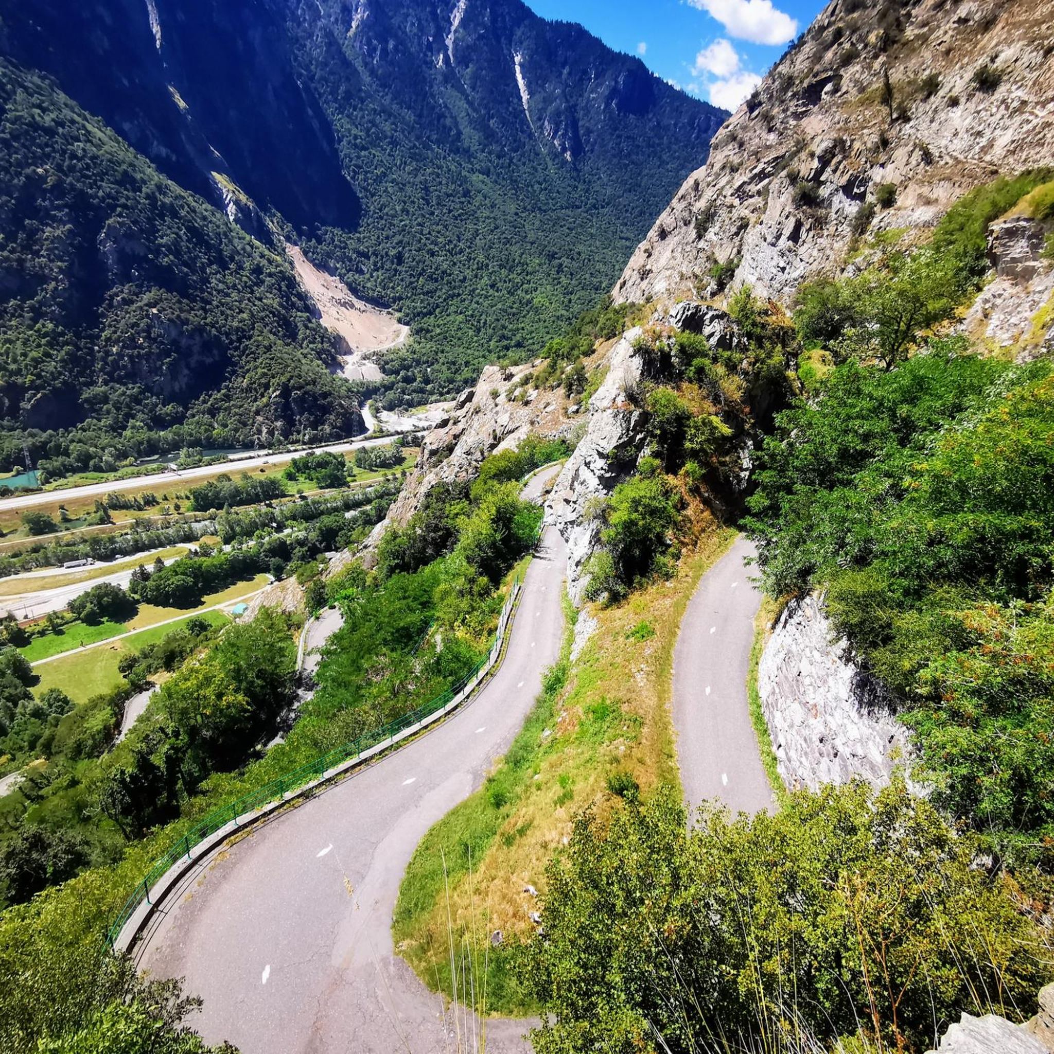
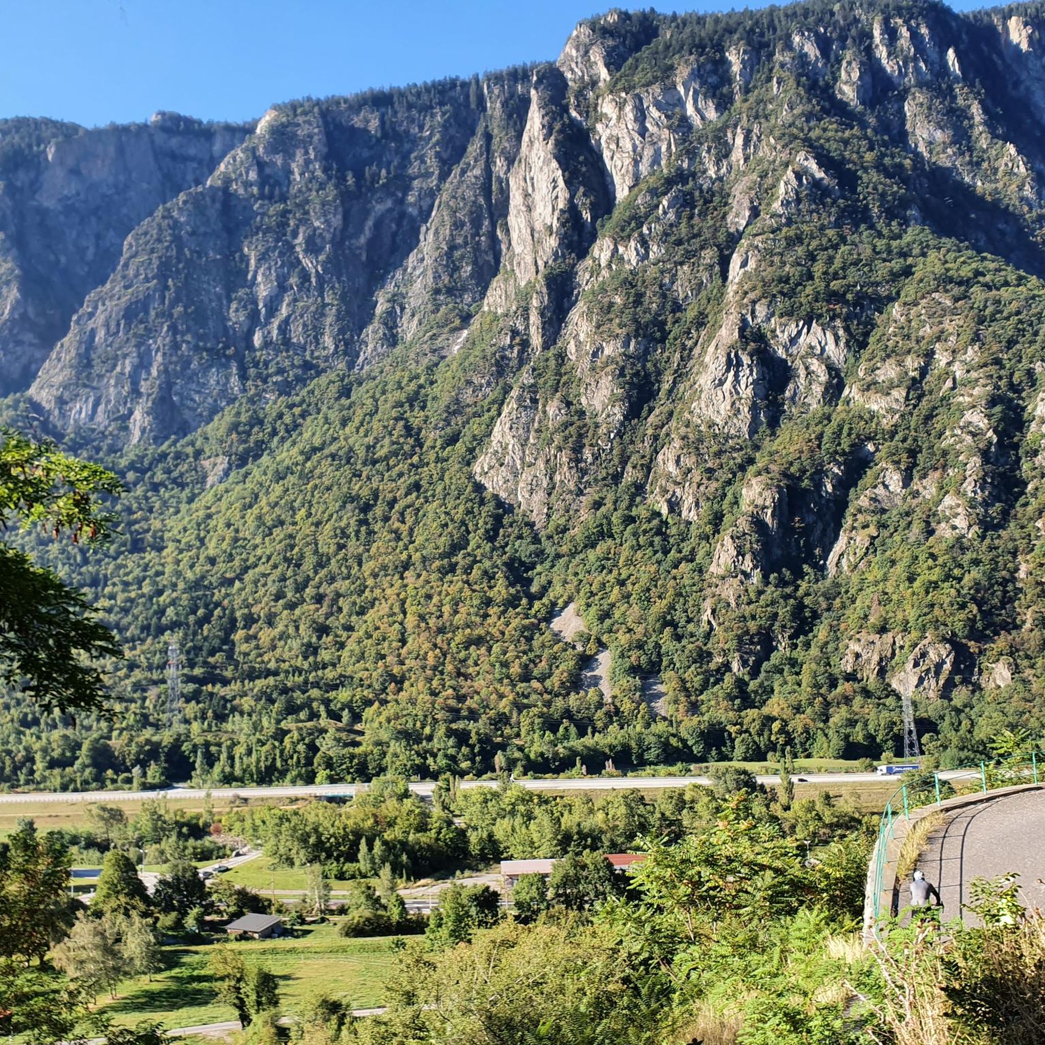
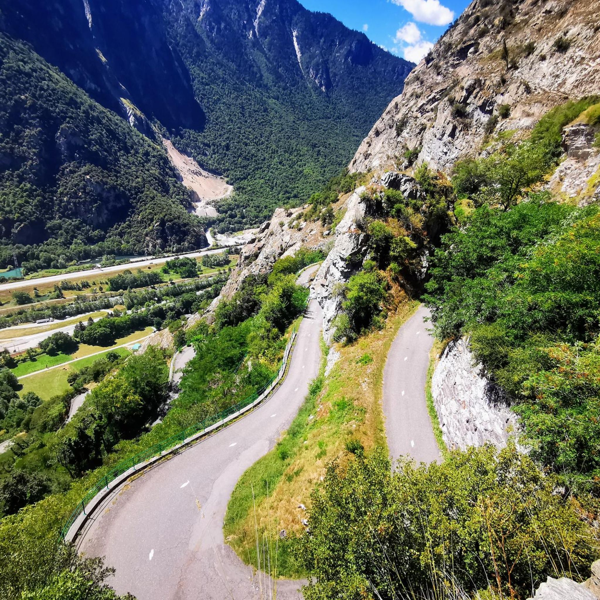
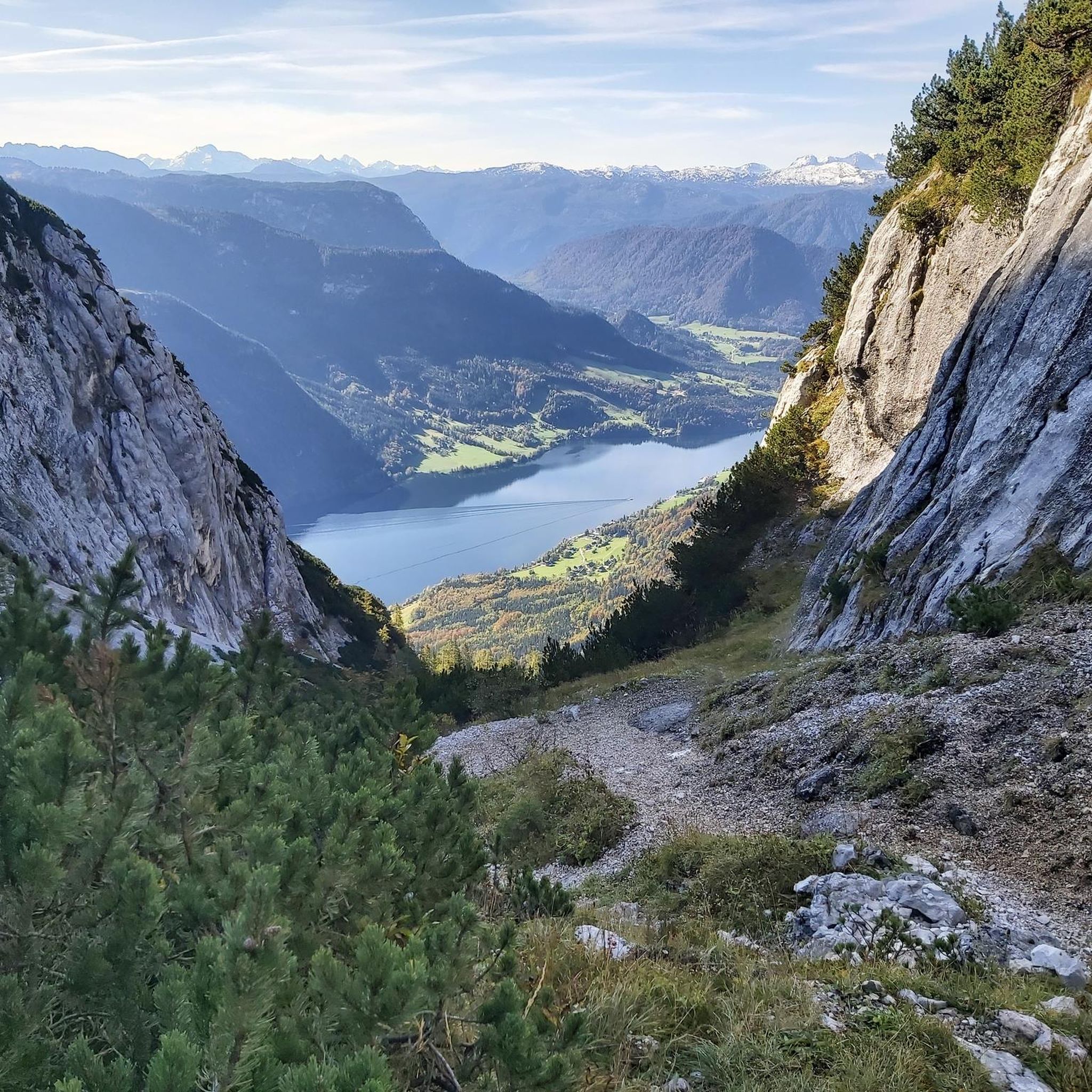

Other adventures around Montvernier

Tips from the Community

The climb is easy and worth the effort. Magnificent view. There's a picnic table...
0
0

Very charming lake that you will like no matter the weather 👀👍🏾
0
0

Incredible views of the mountains and the lake from the ridge just below the top of the Cheval Noir.
0
0
At 2,832 meters, this summit, still little known, offers a 360° panorama at the top. Incredible views.
0
0
At 2,139 meters, this lake is located near a rocky outcrop. It turns blue-black after the avalanches melt.
0
0
A small lake at 2,137 meters. The color of the water is amazing!
0
0

Bring walking sticks. Plenty of water. Good shoes.
0
0

The summit of La Toussuire, an hors catégorie climb famous as the climb on which Chris Froome attacked Bradley Wiggins on stage 11 of the 2012 Tour de France.
2
0
Frequently Asked Questions
What kind of terrain can I expect on mountaineering routes around Montvernier?
Mountaineering around Montvernier features varied alpine terrain, including significant elevation changes, high-altitude lakes, prominent summits, and forested sections. You'll often find yourself on open ridges and peaks, with routes exploring the upper reaches of the Maurienne Valley.
Are there any easy mountaineering routes suitable for beginners in Montvernier?
Yes, Montvernier offers routes suitable for various ability levels, including easy options. For a less strenuous experience, consider the Les 3 Croix loop from Fontcouverte-la-Toussuire, which is rated as easy and provides a good introduction to the area's beauty.
Are there any circular mountaineering routes in Montvernier?
Many of the mountaineering routes in Montvernier are designed as loops, allowing you to start and end at the same point. Examples include the challenging White Lake – Blue Lake loop from Saint-François-Longchamp 1650, or the moderate La Grande Verdette – Pointe de l'Ouillon loop from Poste de Secours.
What is the best time of year for mountaineering in Montvernier?
The best time for mountaineering in Montvernier is typically from late spring to early autumn (June to September) when the snow has largely melted from higher elevations, and the weather is generally more stable. Always check local weather forecasts and trail conditions before heading out, especially for higher altitude routes.
Are there any challenging or advanced mountaineering routes in the Montvernier area?
Absolutely. For experienced mountaineers seeking a challenge, the region offers difficult routes with significant elevation gain. The White Lake – Blue Lake loop from Saint-François-Longchamp 1650 is a prime example, traversing high-alpine lake landscapes and requiring a good level of fitness and experience.
What kind of views can I expect on these routes?
Mountaineering routes around Montvernier are known for their panoramic views of the surrounding mountains. You'll often encounter expansive vistas from mountain ridges and peaks, showcasing the beauty of the Maurienne Valley and its alpine environment.
What do other mountaineers say about the routes in Montvernier?
The routes in Montvernier are highly rated by the komoot community, with an average score of 5.0 stars. Mountaineers often praise the varied terrain, the challenging ascents, and the stunning high-altitude lake landscapes.
Are there any moderate mountaineering options available?
Yes, there are several moderate routes that offer a good balance of challenge and accessibility. The La Toussuire Summit – Chaput Pass loop from Villarembert is a popular moderate option, leading through mountain passes and towards a summit with rewarding views.
What are some notable natural features or landmarks I might encounter?
The Montvernier area is characterized by its high-altitude lakes and prominent summits. Many routes will take you past these natural features, offering picturesque scenery and unique alpine experiences.
Is it possible to spot wildlife while mountaineering in Montvernier?
The alpine environment around Montvernier is home to various wildlife. While sightings are never guaranteed, keeping an eye out, especially in quieter sections and during early morning or late evening, might reward you with glimpses of local fauna adapted to high-mountain habitats.
Do I need any special gear for mountaineering in Montvernier?
Given the varied alpine terrain and significant elevation changes, sturdy hiking boots, appropriate layers of clothing for changing weather, navigation tools, and sufficient water and food are essential. For more challenging routes, consider trekking poles and be prepared for potentially exposed sections.
Most popular routes around Montvernier
Most popular attractions around Montvernier

Get inspired with the komoot mobile app


Explore more
Browse the best Mountain Hikes & Routes in other regions.
