
The best running trails around La Chaume
34
runners
6
runs
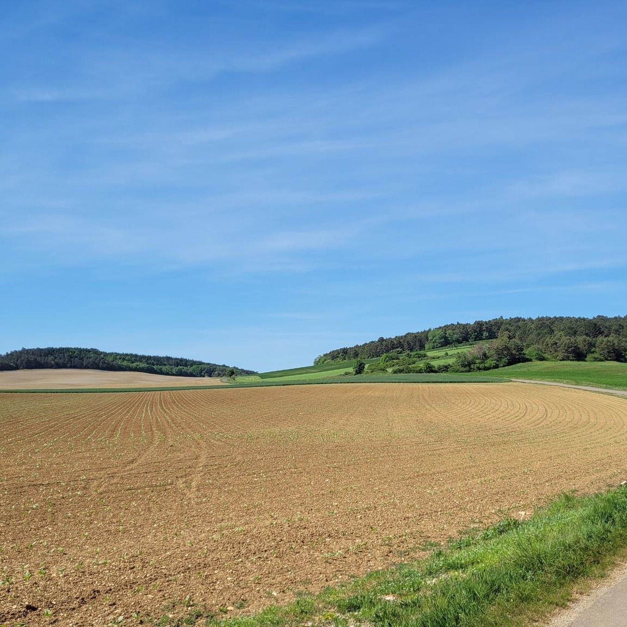
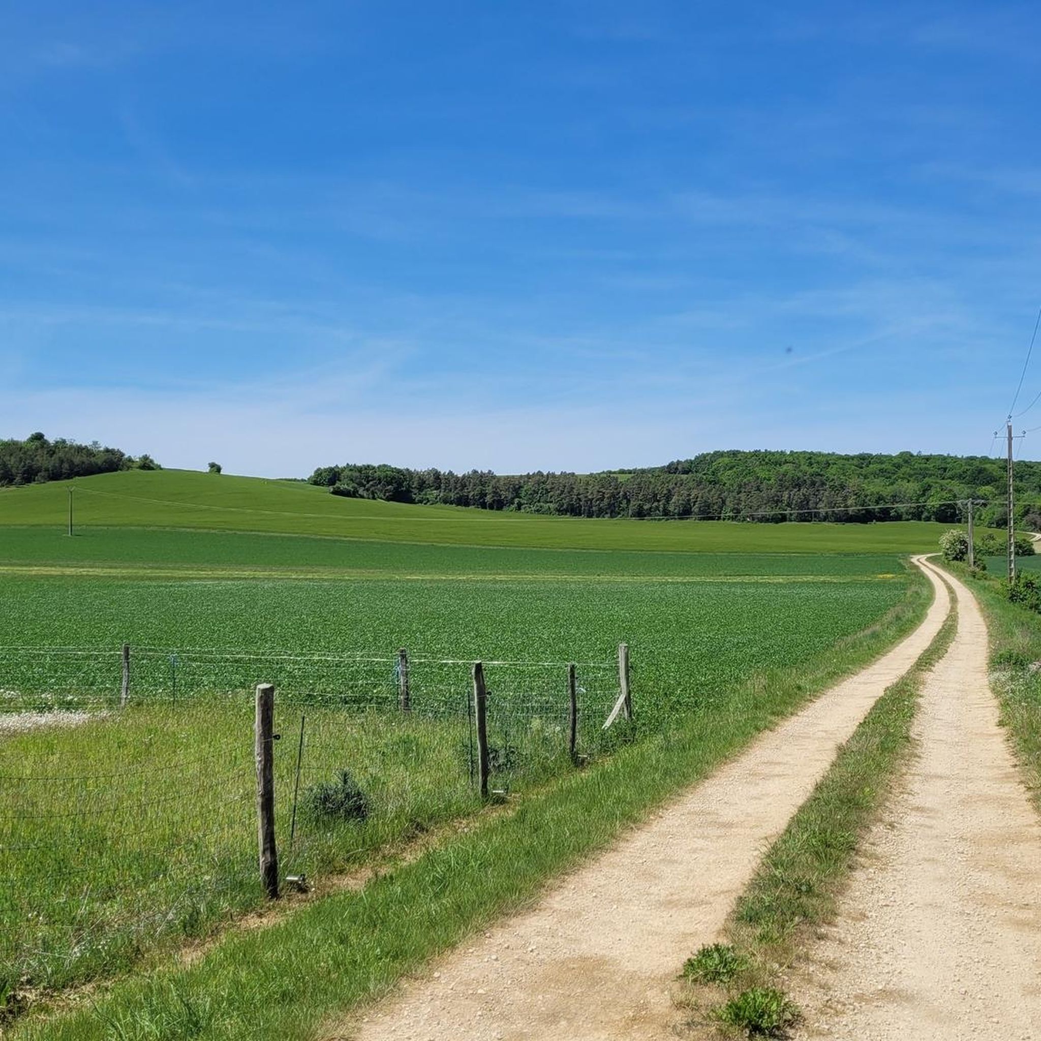
Jogging around La Chaume offers routes through a landscape characterized by forests, river valleys, and gentle hills. The region provides a mix of natural environments, including wooded areas and open countryside. These trails are suitable for exploring the rural charm and natural beauty of the area.
Best jogging routes around La Chaume
- The most popular jogging route is Running loop from Leuglay, a 5.0 miles (8.1 km) trail that takes about 50 minutes to complete. This moderate route features…
Last updated: July 6, 2026
8
runners
8.15km
00:51
50m
50m
Moderate run. Good fitness required. Mostly paved surfaces. Suitable for all skill levels.
9
runners
9.29km
01:05
110m
110m
Moderate run. Good fitness required. Mostly paved surfaces. Suitable for all skill levels.

Sign up for free
4
runners
7.79km
00:56
130m
130m
Moderate run. Good fitness required. Mostly paved surfaces. Suitable for all skill levels.
3
runners
7.74km
00:48
40m
40m
Moderate run. Good fitness required. Mostly paved surfaces. Suitable for all skill levels.
4
runners
9.51km
00:59
50m
50m
Moderate run. Good fitness required. Mostly paved surfaces. Suitable for all skill levels.
Our route recommendations are based on thousands of hikes, rides, and runs completed by other people on komoot.
Start today with a free account
Your next adventure awaits.
Login or Signup


Frequently Asked Questions
How many running routes are available in La Chaume?
Komoot offers a variety of running routes around La Chaume, with 7 distinct trails currently available. These routes cater to different preferences, ranging from moderate to more challenging options.
What kind of terrain can I expect on the jogging trails around La Chaume?
The jogging trails in La Chaume are characterized by a mix of natural environments, including forest paths, river-adjacent trails, and rolling countryside. You'll find yourself running through wooded areas and open landscapes, often with gentle hills and river valleys, providing a scenic and varied experience.
Are there routes suitable for beginners or those looking for an easy run?
While most routes around La Chaume are classified as moderate, offering a good challenge for regular runners, there are no routes specifically rated as 'easy'. However, trails like Running loop from Veuxhaulles-sur-Aube have a relatively low elevation gain of 37 meters, making them more accessible for those seeking a less strenuous run.
Are there any circular running routes in La Chaume?
Yes, all the featured running routes in La Chaume are circular, allowing you to start and finish at the same point. Examples include the popular Running loop from Leuglay and the scenic Running loop from Courban.
What can I see along the jogging routes or nearby?
While running, you'll primarily enjoy the natural beauty of forests and countryside. For specific points of interest, consider exploring nearby attractions such as the beautiful Étufs Waterfalls or the historic Château de Montigny. These offer opportunities to extend your outing beyond just the run.
Are there any places to stop for refreshments after a run?
Yes, you can find options for refreshments. For example, Coco's Bar, Aubepierre-sur-Aube and Le Bistrot de l'Aubette are nearby establishments where you can relax and refuel after your run.
Are the running trails in La Chaume suitable for families?
The trails around La Chaume are generally moderate in difficulty, making them suitable for active families with some running experience. The forested and natural environments offer a pleasant setting for outdoor activity. For a more relaxed family outing, consider the nature walks available in areas like Au Clos de la Chaume in the Vosges, which features a barefoot trail.
Are the jogging routes dog-friendly?
Many natural trails in France, especially in forested and rural areas like La Chaume, are generally dog-friendly, provided dogs are kept under control. It's always advisable to check local regulations or signage at trailheads regarding dogs, especially concerning nature reserves or protected areas.
What is the typical duration for a running route in La Chaume?
The running routes in La Chaume vary in length and duration. For instance, the Running loop from Recey-sur-Ource typically takes about 55 minutes to complete, while the Running loop from Rouvres-sur-Aube might take around 1 hour. Most routes fall within the 50-70 minute range for an average runner.
What do other runners enjoy the most about jogging in La Chaume?
Runners using komoot often appreciate the varied terrain and natural beauty of La Chaume. The mix of forest paths, river views, and rolling countryside provides an engaging experience. The community has explored these trails over 34 times, highlighting the area's appeal for outdoor running.
Are there any particularly scenic viewpoints along the running trails?
The region's charm lies in its natural landscapes, offering scenic views of forests and river valleys throughout your run. While specific named viewpoints are not highlighted for these routes, the overall experience of running through the wooded terrain and open countryside provides a consistently pleasant and picturesque backdrop.
Most popular attractions around La Chaume

Get inspired with the komoot mobile app


Explore more
Browse the best Running Trails & Routes in other regions.
