
The best running trails around Villemorin
3.5
(2)
34
runners
7
runs
Jogging around Villemorin reveals a landscape characterized by gentle, rolling countryside and a mix of agricultural fields and small woodlands. The region offers a network of running routes with minimal elevation changes, making them accessible for various fitness levels. These paths often connect small villages and provide views of the rural French landscape.
Best jogging routes around Villemorin
- The most popular jogging route is Bois de Vervant loop from Saint-Jean-d'Angély, a 7.8 miles (12.5 km) trail that takes 1…
Last updated: July 6, 2026
2.0
(1)
9
runners
12.5km
01:18
40m
40m
Moderate run. Good fitness required. Mostly paved surfaces. Suitable for all skill levels.
4
runners
6.85km
00:43
30m
30m
Moderate run. Good fitness required. Mostly paved surfaces. Suitable for all skill levels.

Sign up for free
5.0
(1)
4
runners
5.85km
00:38
50m
50m
Moderate run. Good fitness required. Mostly paved surfaces. Suitable for all skill levels.
4
runners
6.49km
00:43
50m
50m
Moderate run. Good fitness required. Mostly paved surfaces. Suitable for all skill levels.
3
runners
7.36km
00:47
70m
70m
Moderate run. Good fitness required. Mostly paved surfaces. Suitable for all skill levels.
Get access to more routes and recommendations from other explorers.
Sign up for free
Already have an account?
Our route recommendations are based on thousands of hikes, rides, and runs completed by other people on komoot.
Start today with a free account
Your next adventure awaits.
Login or Signup

Frequently Asked Questions
What kind of terrain can I expect on running routes around Villemorin?
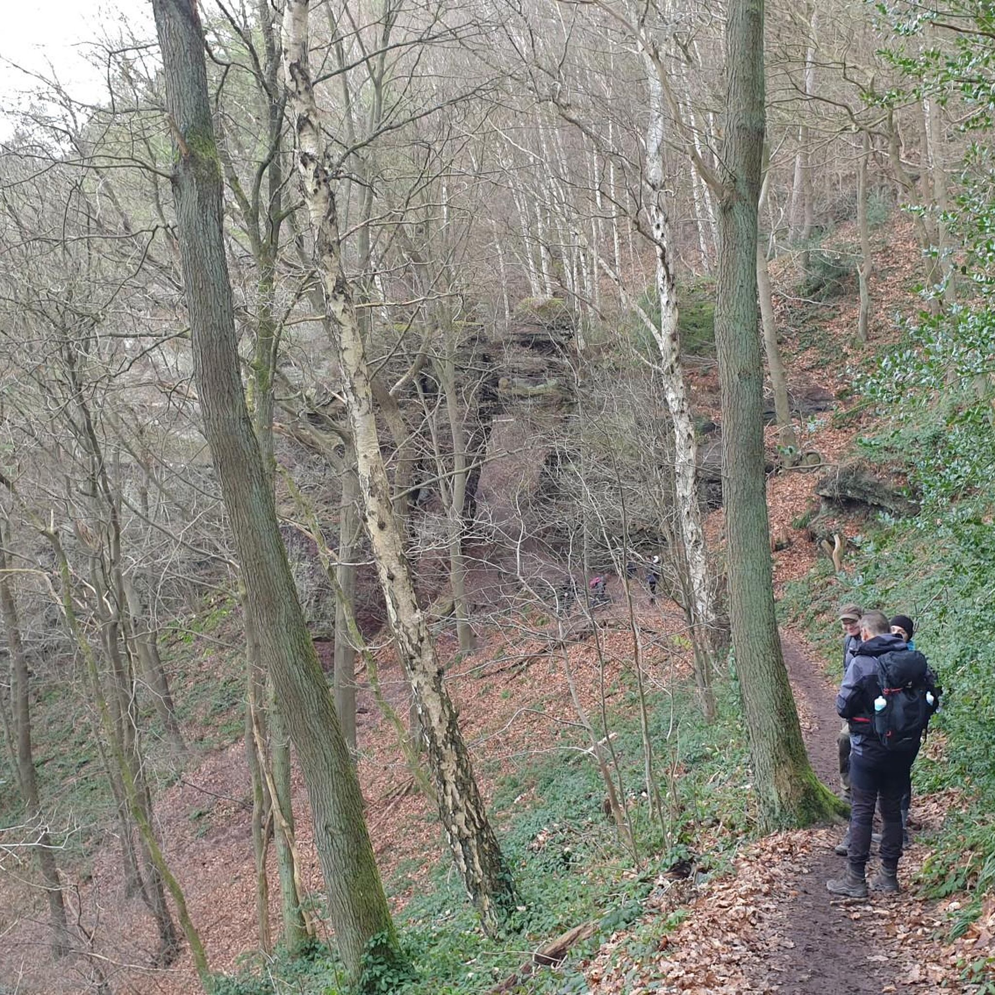
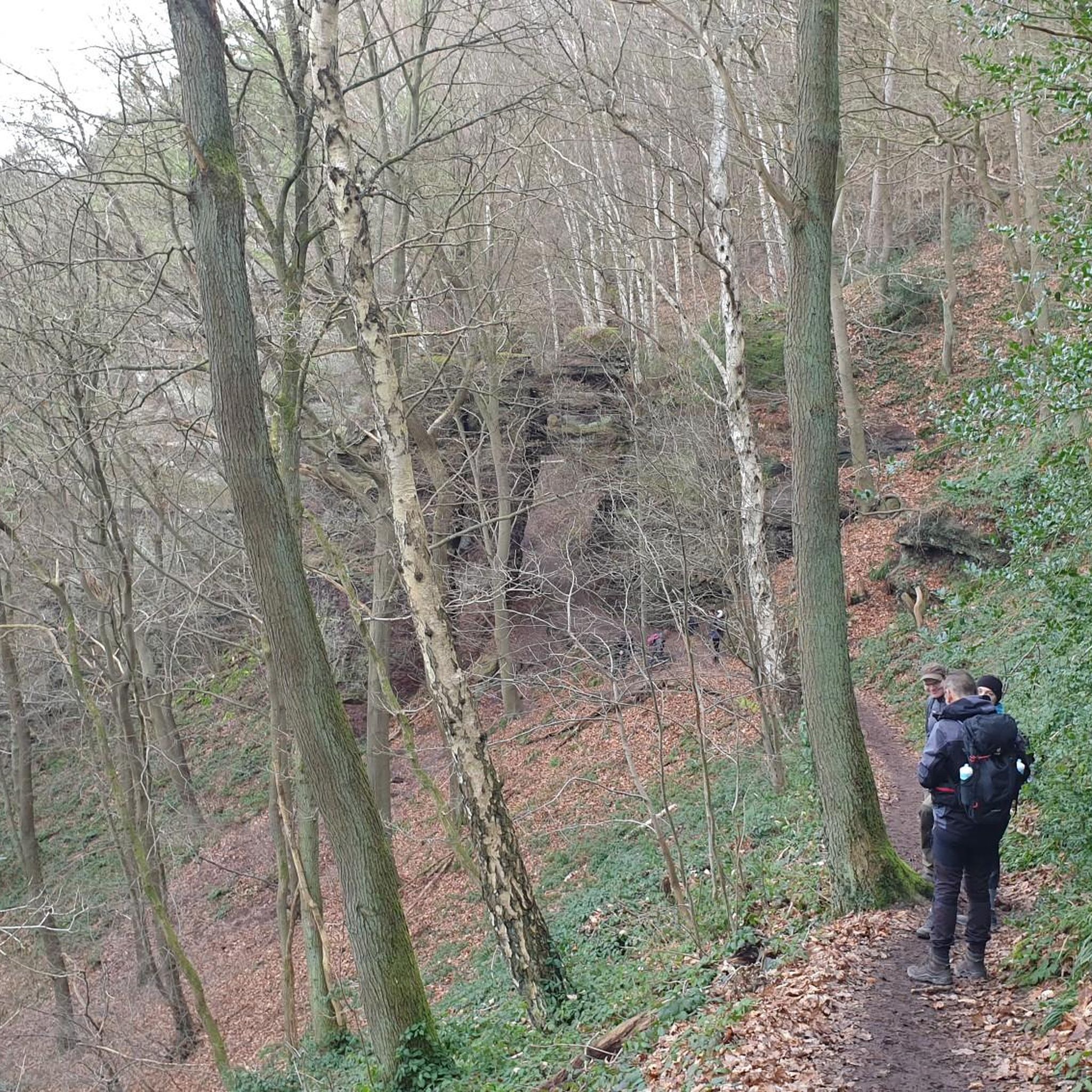
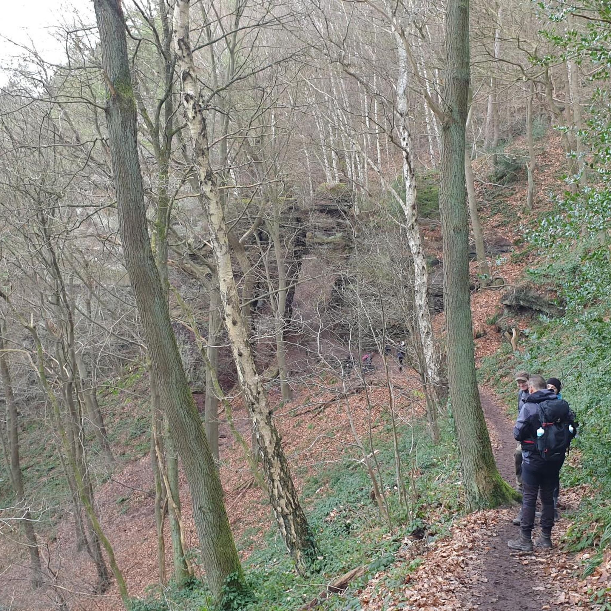
The running routes in Villemorin are characterized by gentle, rolling countryside, a mix of agricultural fields, and small woodlands. You'll find paths with minimal elevation changes, offering views of the rural French landscape.
Are there any longer running trails available in the Villemorin area?
Yes, for those looking for a longer run, the Bois de Vervant loop from Saint-Jean-d'Angély is a great option. It's a 7.8-mile (12.5 km) trail that takes about 1 hour 18 minutes to complete, leading through wooded areas and open fields.
What is the general difficulty level of running routes near Villemorin?
The routes around Villemorin are primarily classified as moderate. They offer options for various ability levels, with minimal elevation changes, making them accessible for most runners.
Are the running paths around Villemorin suitable for families?
While specific 'family-friendly' designations aren't provided, the routes generally feature minimal elevation changes and are of moderate difficulty. This makes many of them suitable for families looking for a pleasant run or walk together, especially those that pass through quiet country lanes and villages like the Running loop from Saint-Pardoult.
Can I bring my dog on the running trails in Villemorin?
Generally, rural paths in France are dog-friendly. It's usually acceptable to bring your dog along, provided they are kept on a leash and you clean up after them. Always be mindful of agricultural areas and local wildlife.
Are there circular running routes in Villemorin?
Yes, many of the popular running options in the area are circular routes. For example, the Running loop from Saint-Mandé-sur-Brédoire and the Running loop from Ferrières are both excellent circular options, allowing you to start and finish in the same location.
What do other runners say about the trails in Villemorin?
The running routes in Villemorin are highly rated by the komoot community, with an average score of 3.5 stars from over 2 reviews. Runners often praise the quiet village roads, open countryside, and small wooded sections that define the area's charm.
Are there any running routes that pass through villages or offer amenities like cafes?
Many routes in the Villemorin area connect small villages. While specific cafes aren't listed for each route, running through villages like Saint-Pardoult or Saint-Mandé-sur-Brédoire, as seen in routes like the Running loop from Saint-Pardoult, often provides opportunities to find local amenities.
What is the best time of year to go running in Villemorin?
Spring and autumn generally offer the most pleasant conditions for running in Villemorin, with mild temperatures and beautiful scenery. Early mornings or late afternoons are ideal during the warmer summer months to avoid the midday heat.
How many running routes are available to explore in the Villemorin region?
There are 7 distinct running routes available in the Villemorin region, all of which are classified as moderate difficulty, offering a good variety for local runners and visitors alike.
Are there any less-trafficked or quieter running options in the area?
Given the rural nature of Villemorin, many of the routes offer a peaceful running experience. Trails like the Running loop from Néré often lead through quiet country lanes and agricultural fields, providing a serene environment away from busier areas.

Get inspired with the komoot mobile app


Explore more
Browse the best Running Trails & Routes in other regions.
