The best walks and hikes around Ségreville
4.0
(11)
74
hikers
6
hikes
Hiking around Ségreville, located in the Haute-Garonne department of France, offers trails through rolling hills and local countryside. The area is part of the wider Occitanie region, which features diverse landscapes including river valleys and forests. This terrain provides a mix of accessible paths and more demanding routes.
Best hiking trails around Ségreville
- The most popular hiking route is Village square – Chapel loop from Maurens, a 12.5 miles (20.2 km) trail that takes 5 hours 28 minutes to…
Last updated: July 6, 2026
4.8
(5)
35
hikers
6.56km
01:47
90m
100m
Easy hike. Great for any fitness level. Easily-accessible paths. Suitable for all skill levels.
4.0
(3)
15
hikers
20.2km
05:28
280m
280m
Hard hike. Very good fitness required. Easily-accessible paths. Suitable for all skill levels.

Sign up for free
3.0
(1)
10
hikers
13.4km
03:38
190m
190m
Moderate hike. Good fitness required. Easily-accessible paths. Suitable for all skill levels.
6
hikers
2.31km
00:38
30m
30m
Easy hike. Great for any fitness level. Easily-accessible paths. Suitable for all skill levels.
2
hikers
12.3km
03:19
160m
160m
Moderate hike. Good fitness required. Easily-accessible paths. Suitable for all skill levels.
Our route recommendations are based on thousands of hikes, rides, and runs completed by other people on komoot.
Start today with a free account
Your next adventure awaits.
Login or Signup
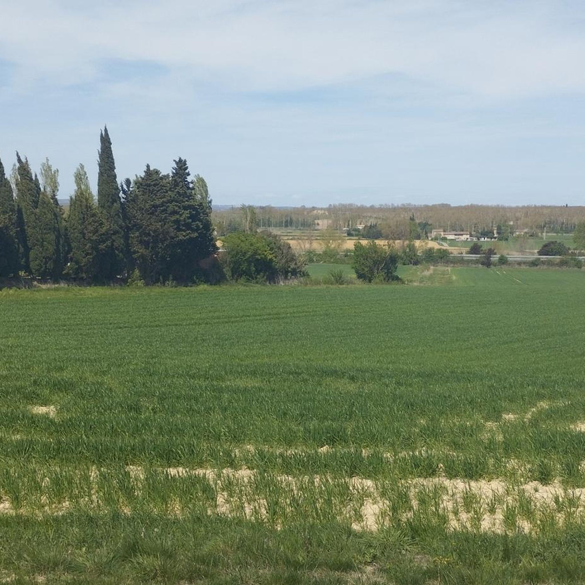
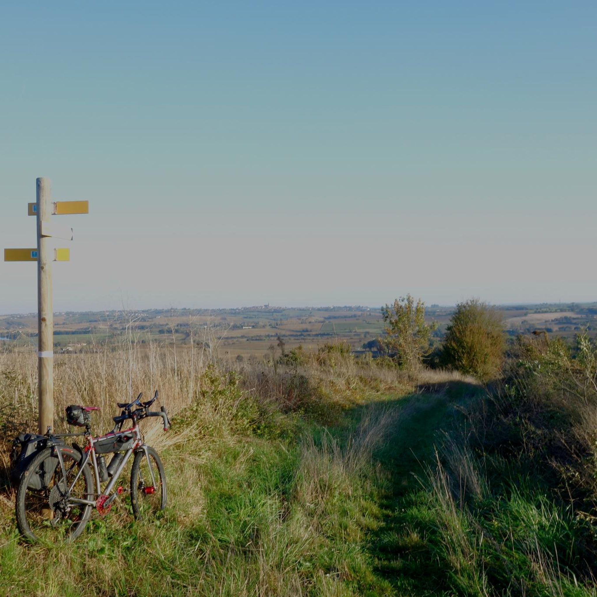

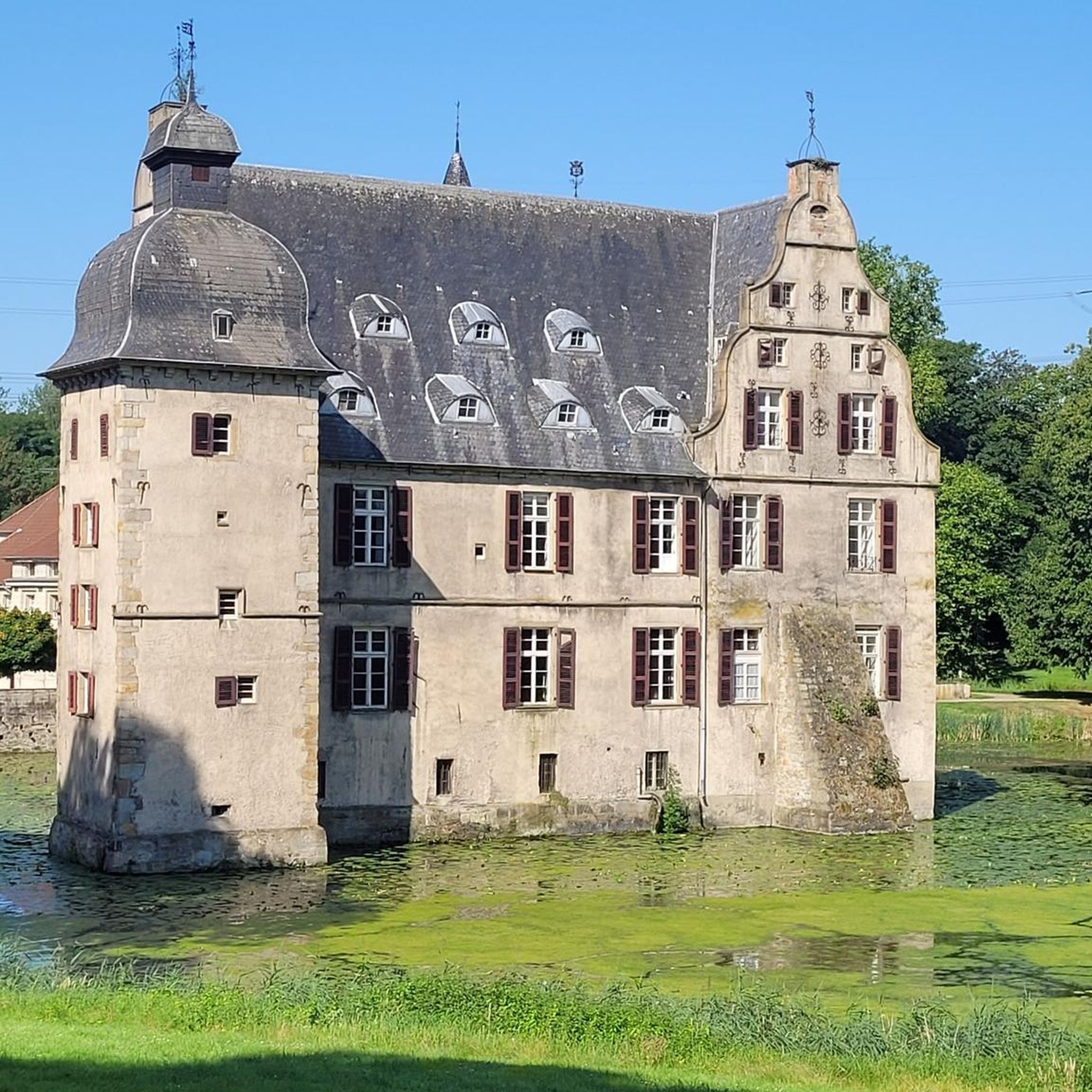

Tips from the Community


Frequently Asked Questions
What kind of terrain can I expect when hiking around Ségreville?
Hiking around Ségreville primarily features rolling hills and open countryside, with paths connecting local villages. The wider Haute-Garonne department, where Ségreville is located, offers a diverse landscape ranging from the high peaks of the Pyrenees to verdant river valleys and extensive forests, providing a variety of experiences from accessible paths to more demanding trails.
Are there any easy hiking trails suitable for beginners or short walks?
Yes, for an easy and shorter walk, consider the Orangerie de Fourquevaux loop from Fourquevaux. This trail is about 2.3 km (1.4 miles) long and can typically be completed in under 40 minutes, leading through the local countryside.
What are some notable landmarks or points of interest to see while hiking near Ségreville?
While exploring the area, you can discover several interesting points. Highlights include the scenic Route des crêtes, the historical Saint-Rome Village Architectural Heritage, and the Old Telegraph of Saint-Félix. The impressive Château de Fourquevaux is also a significant landmark in the vicinity.
Are there any circular hiking routes available in the Ségreville area?
Many of the trails around Ségreville are designed as loops. For example, the Village square – Chapel loop from Falga is a moderate 13.4 km (8.3 miles) circular path, and the Caraman loop from Caraman offers a moderate 7.6 km (4.7 miles) option.
What do other hikers say about the trails in Ségreville?
The hiking routes in Ségreville are well-regarded by the komoot community, holding an average score of 4.0 stars from 6 reviews. Hikers often appreciate the varied terrain and the peaceful countryside experience.
What is the best time of year to go hiking in Ségreville?
The region generally offers pleasant hiking conditions throughout much of the year. Spring and autumn provide mild temperatures and beautiful scenery, while summer can be warm but still enjoyable, especially for early morning or late afternoon hikes. Winter hikes are possible, but it's advisable to check local weather conditions, especially if venturing towards the higher elevations of the Pyrenees.
Are there longer, more challenging hikes for experienced trekkers?
Yes, for those seeking a more challenging experience, the Village square – Chapel loop from Maurens is a difficult route spanning 20.2 km (12.5 miles) with an elevation gain of over 275 meters, typically taking more than 5 hours to complete.
How many hiking routes are available in the Ségreville area on komoot?
There are 5 hiking routes currently available on komoot for the Ségreville area, offering a mix of easy, moderate, and difficult options to suit different preferences and fitness levels.
Can I find information about the broader Occitanie region's hiking opportunities?
Ségreville is part of the diverse Occitanie region, which boasts extensive hiking opportunities, including the Pyrenees Mountains and the Garonne River valleys. For more information on the region's natural parks and outdoor activities, you can visit the Visit Occitanie website or explore resources from local tourism offices like Tourisme Volvestre.
Are there any moderate-difficulty trails that offer a good balance of distance and challenge?
Absolutely. The Caraman loop from Caraman is a moderate 12.3 km (7.6 miles) trail with an elevation gain of nearly 160 meters, offering a good intermediate option for hikers looking for a substantial but not overly strenuous walk.
What kind of natural features define the wider Haute-Garonne department?
The Haute-Garonne department, encompassing Ségreville, is characterized by its diverse natural features. These include the majestic Pyrenees Mountains to the south, the picturesque valleys of the Garonne River, extensive forests, numerous mountain lakes, and rolling hills. This variety ensures a wide range of natural environments for exploration.
Most popular routes around Ségreville
Most popular attractions around Ségreville

Get inspired with the komoot mobile app


Explore more
Browse the best Hikes in other regions.
