The best mountain hikes around Saint-Andéol
5.0
(5)
41
hikers
9
hikes
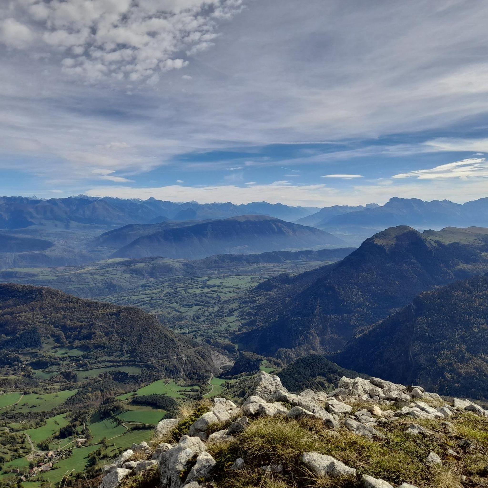
Mountaineering routes around Saint-Andéol are primarily found within the Vercors Massif, characterized by its alpine environment, dramatic passes, and high peaks. This region features impressive limestone formations, deep valleys, and extensive plateaus, offering diverse terrain for mountaineering. The landscape includes notable summits like Grand Veymont and challenging ascents through areas such as the Pas des Bachassons.
Best mountaineering routes around Saint-Andéol
- The most popular mountaineering route is Path with panoramic view – Grand Veymont loop from Gresse-en-Vercors, a 7.5…
Last updated: July 8, 2026
5.0
(1)
9
hikers
12.2km
06:40
1,080m
1,080m
Hard mountaineering route. Very good fitness required. Sure-footedness, sturdy shoes and alpine experience required.
11
hikers
10.3km
04:18
830m
830m
Moderate mountaineering route. Good fitness required. Mostly accessible paths. Sure-footedness required.

Sign up for free
5.0
(2)
5
hikers
15.9km
08:03
1,270m
1,270m
Hard mountaineering route. Very good fitness required. Sure-footedness, sturdy shoes and alpine experience required.
5.0
(1)
5
hikers
20.6km
07:30
960m
960m
Hard mountaineering route. Very good fitness required. Sure-footedness, sturdy shoes and alpine experience required.
4
hikers
20.0km
07:20
950m
950m
Hard mountaineering route. Very good fitness required. Sure-footedness, sturdy shoes and alpine experience required.
Get access to more routes and recommendations from other explorers.
Sign up for free
Already have an account?
Our route recommendations are based on thousands of hikes, rides, and runs completed by other people on komoot.
Start today with a free account
Your next adventure awaits.
Login or Signup
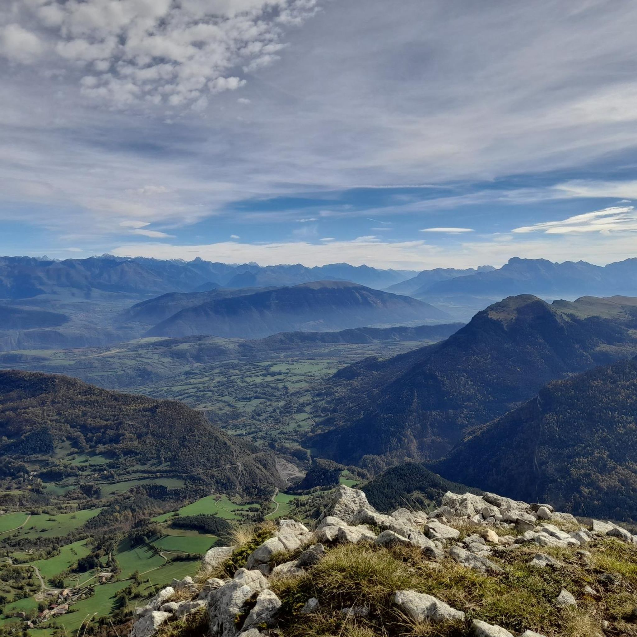
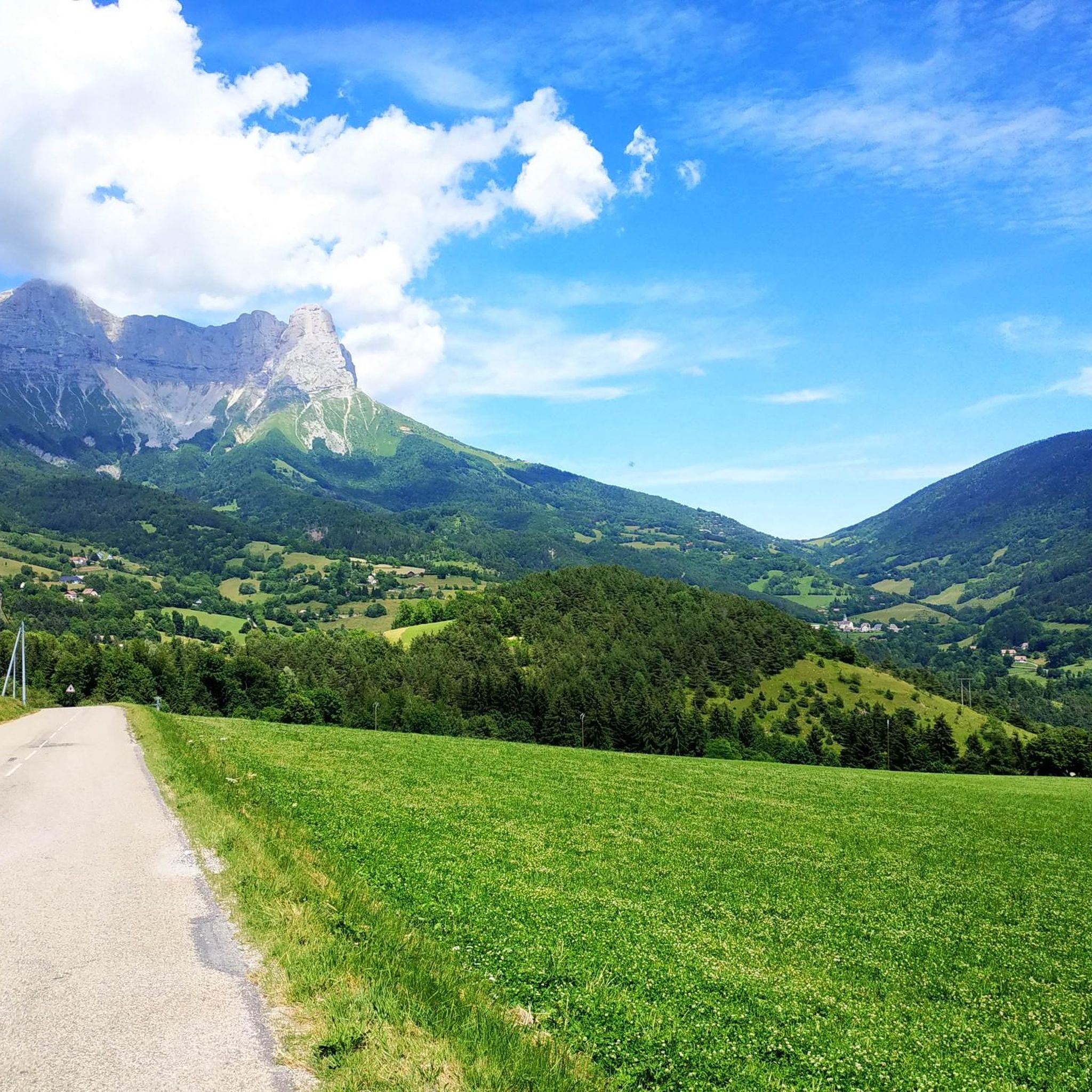
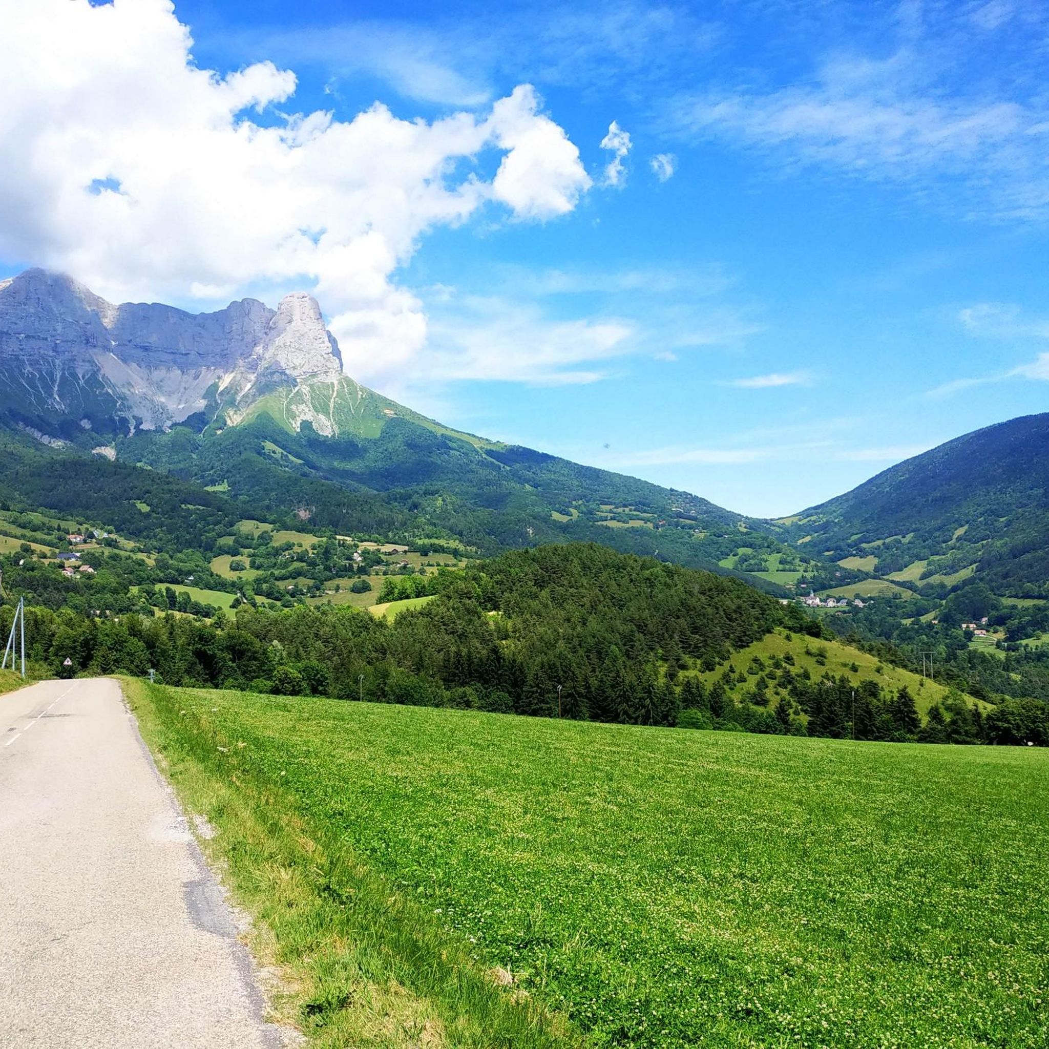

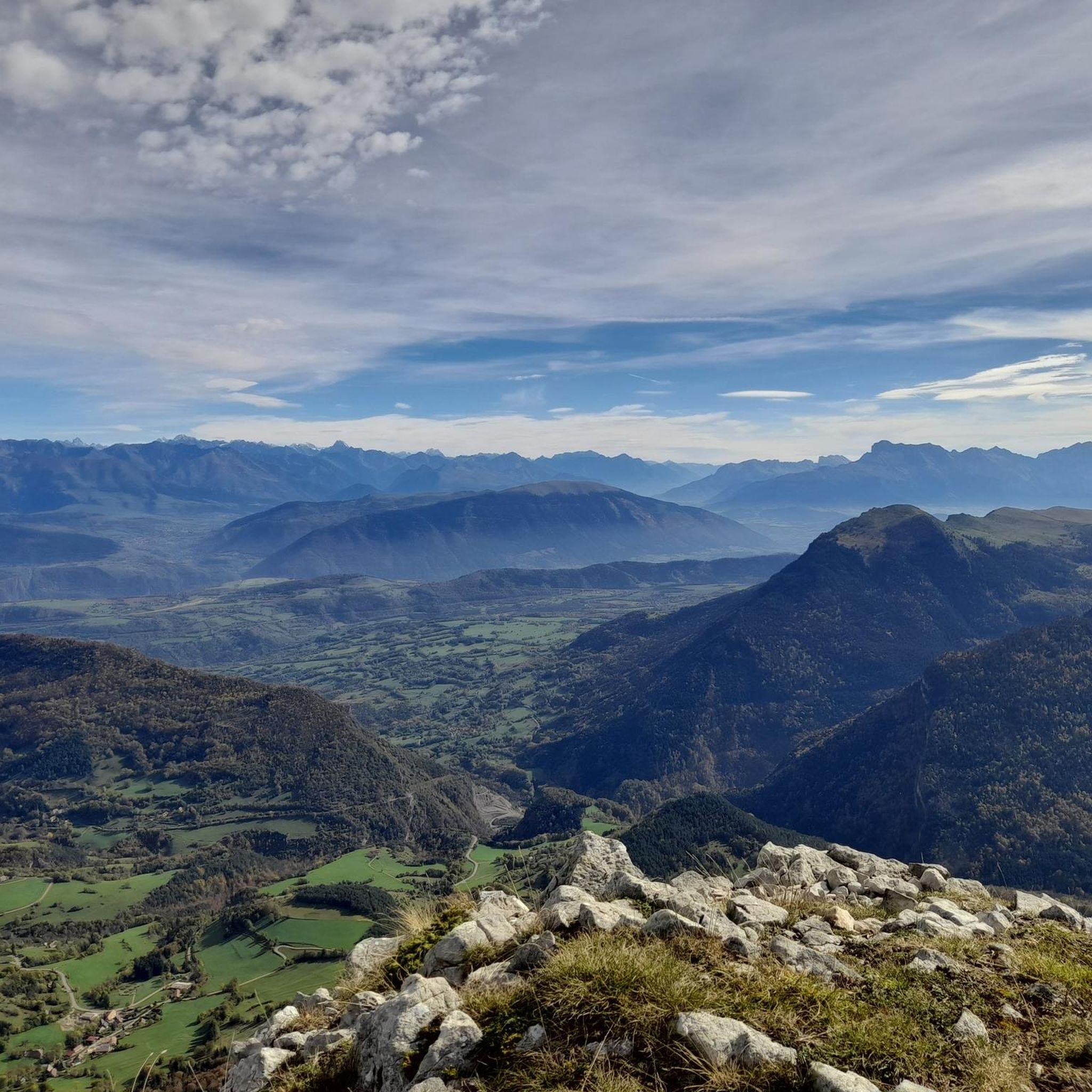
Tips from the Community

Technical passage, stay focused and careful on the supports. Magnificent!
0
0
As pretty at the top as at the bottom, lots of ways to get to the top, accessible for all levels (not technical but lots of elevation gain depending on your starting point) but it's worth it!
1
0
Great view! And those on all sides, some areas where it is easier to get your hands on (over 100 meters) but nothing insurmountable! No dangerous areas!
0
0


Second highest peak in the Vercors - and as usual with "second summits" 😆 harder to climb than the Grand Veymont. But, as I did on my tour, it can be crossed from both sides, T4+ to T5 (according to the SAC scale) or climbing sections 1+. I recommend going from northeast to south. More in my tour and in the second waypoint listed here, these are often marked multiple times on Komoot...
1
1
Second highest peak in the Vercors - and as is usual with "second summits" 😆 harder to climb than the Grand Veymont. But it is also possible to cross it here, from both sides T4+ to T5 (according to the SAC scale) or climbing sections 1+. But it is easier at the top than it looks from the northeast, from Lac de Moucherolle. If you have enough time, you can also cross the Petite Moucherolle in another intermediate climb.
0
1
The highest peak of the Vercors is very easy to cross. A little more exposed from the north, but without any real climbing spots, and even easier terrain from the south. Great panoramic views and into the distance - but particularly impressive from some places directly into the almost vertical eastern flank, which stretches over the entire chain in a slight curve to the Grande Moucherolle (the second highest peak) and beyond. And there were plenty of ibexes on my tour too.
3
1

Located at an altitude of 1,500 meters at the Col de l'Arzelier, the Soldanelle refuge was built in 1968. Its terrace offers a breathtaking view of the valley. You can sleep there in both a dormitory and a yurt. The refuge is not manned all year round. All the information here: https://www.lasoldanelle.com/refuge/.
2
2
Frequently Asked Questions
How many mountaineering routes are available around Saint-Andéol?
There are over 10 mountaineering routes around Saint-Andéol, primarily located within the Vercors Massif. These routes offer a range of experiences, from moderate ascents to challenging multi-hour expeditions.
What kind of terrain can I expect on mountaineering routes in the Saint-Andéol area?
The mountaineering routes around Saint-Andéol, situated in the Vercors Massif, feature diverse alpine terrain. You can expect impressive limestone formations, deep valleys, and extensive plateaus. The landscape includes notable summits, dramatic passes like the Pas des Bachassons, and varied sections from alpine pastures to beech forests.
What natural landmarks or viewpoints can I see along the mountaineering routes?
Many routes offer stunning views and pass by significant natural landmarks. You might encounter the majestic Grand Veymont, the highest point in the Vercors, offering expansive vistas. Other notable features include the Col de l'Allimas and the Col des Deux, both mountain passes providing dramatic scenery. The Valchevrière lookout also offers picturesque views.
Are there any moderate mountaineering routes for those looking for a less strenuous challenge?
Yes, while many routes are challenging, there are moderate options available. For instance, the Scialet des Pullis loop from Corrençon-en-Vercors is a moderate 5.9 miles (9.6 km) path that explores the alpine environment with varied terrain and forest sections.
What are some of the more challenging mountaineering routes in the region?
For experienced mountaineers, the region offers several difficult routes. The Highly technical passage loop from Château-Bernard is a demanding 15.8 miles (25.4 km) route. Another challenging option is the Tête des Chaudières – Pas de la Balme loop from Corrençon-en-Vercors, which covers 11.4 miles (18.3 km) with significant elevation gain.
Are there any circular mountaineering routes available?
Yes, many of the mountaineering routes around Saint-Andéol are designed as loops, allowing you to start and end in the same location. Examples include the Path with panoramic view – Grand Veymont loop from Gresse-en-Vercors and the Bachassons Pass loop from Gresse-en-Vercors.
What do other mountaineers say about the routes in Saint-Andéol?
The mountaineering routes in Saint-Andéol are highly rated by the komoot community, with an average score of 4.9 stars from over 8 reviews. Mountaineers often praise the varied terrain, the dramatic alpine scenery, and the challenging yet rewarding ascents.
Are there specific considerations for winter mountaineering in Saint-Andéol?
The Vercors Massif, where Saint-Andéol is located, is renowned for its winter mountaineering and ice climbing opportunities, particularly around Gresse-en-Vercors and Chichilianne. Ski touring is also popular on the eastern barrier of the Vercors. If planning a winter ascent, be prepared for alpine conditions, snow, and ice, and ensure you have appropriate gear and experience.
Are there any family-friendly mountaineering options around Saint-Andéol?
While many routes are rated moderate to difficult, the Vercors Massif offers diverse terrain. For families, it's best to look for shorter, less steep sections or consider areas known for wide alpine pastures. Always check the specific route details for distance, elevation, and duration to ensure it's suitable for all family members.
Is it possible to reach the trailheads by public transport?
Access to trailheads in the Vercors Massif can be challenging via public transport, as many starting points are in more remote mountain villages like Gresse-en-Vercors or Corrençon-en-Vercors. It is generally recommended to have private transportation for flexibility, though local bus services might connect some larger towns to the area. Always check local transport schedules in advance.
Where can I find parking for mountaineering routes?
Parking is typically available in the villages that serve as starting points for the routes, such as Gresse-en-Vercors, Corrençon-en-Vercors, or Château-Bernard. Look for designated parking areas near the trailheads. It's advisable to arrive early, especially during peak season, as spaces can fill up quickly.
What is the best time of year for mountaineering in Saint-Andéol?
The best time for mountaineering in Saint-Andéol largely depends on the type of experience you seek. Summer and early autumn (June to September) offer the most favorable conditions for hiking and climbing, with warmer weather and less snow. For winter mountaineering, ice climbing, and ski touring, the colder months from December to March are ideal, but require specialized gear and experience.
Most popular routes around Saint-Andéol
Most popular attractions around Saint-Andéol

Get inspired with the komoot mobile app


Explore more
Browse the best Mountain Hikes & Routes in other regions.
