The best mountain hikes around Mérial
3.3
(3)
10
hikers
4
hikes
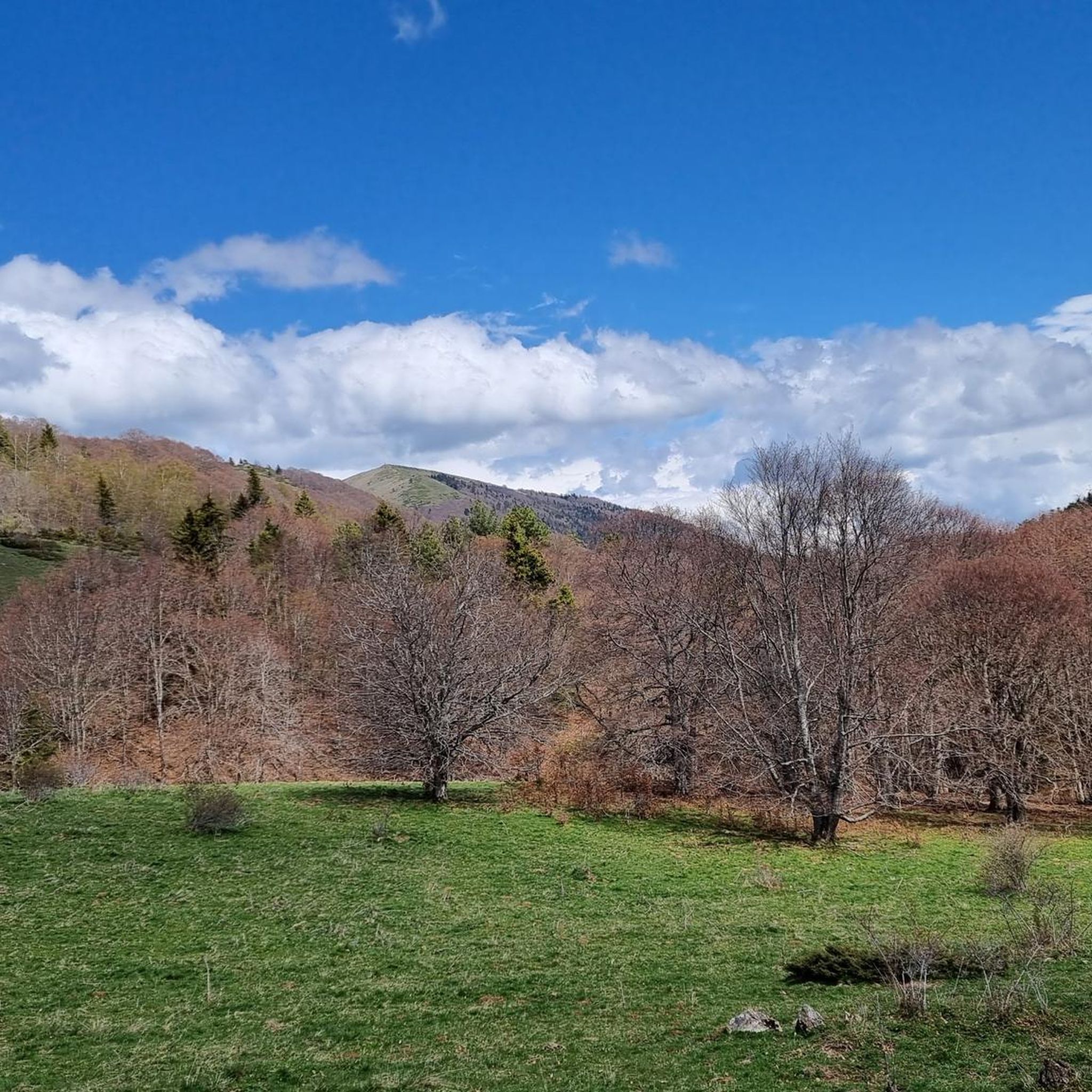
Mountaineering routes around Mérial, a commune in the Aude department of southern France, are set within an elevation range of 880 to 2,027 meters, providing a mountainous landscape. The region is characterized by its proximity to the Pyrénées, offering access to significant peaks like Pic du Canigou, approximately 49 km away. The terrain features dramatic gorges such as Gorges de la Pierre-Lys and Gorges de Galamus, alongside picturesque lakes like Lac des Bouillouses. This area provides a base for exploring…
Last updated: July 8, 2026
2
hikers
8.55km
02:50
350m
360m
Moderate mountaineering route. Good fitness required. Mostly accessible paths. Sure-footedness required.
4.0
(1)
2
hikers
14.8km
04:48
620m
630m
Moderate mountaineering route. Good fitness required. Mostly accessible paths. Sure-footedness required.

Sign up for free
2.5
(2)
4
hikers
16.3km
05:55
780m
780m
Hard mountaineering route. Very good fitness required. Sure-footedness, sturdy shoes and alpine experience required.
2
hikers
13.5km
05:42
800m
810m
Hard mountaineering route. Very good fitness required. Sure-footedness, sturdy shoes and alpine experience required.
Our route recommendations are based on thousands of hikes, rides, and runs completed by other people on komoot.
Start today with a free account
Your next adventure awaits.
Login or Signup

Tips from the Community

There are several fountains and public pools with pure thermal water to warm your feet after the descent.
0
0

Like the reflection of the sun on water, your eyes will sparkle with a thousand lights. A magnificent place, let's protect and share it
0
0

Château de Montaillou is a former fortified castle from the 13th century and overlooks the village and its surroundings
9
0
At approximately 1680 meters, it's the starting point for hikes, ski tours, and cycling. The highest point of this charming ski area is 1850 meters.
12
0
Château de Montaillou is a world-famous former fortified castle from the 13th century, the ruins of which were declared a monument by decree on December 21, 1984. The remains of the keep and the fortress are located on a hill overlooking
19
0

Nice relax and shower stop in the swimming pool by Parc de'Espagne. Also a hose to clean the bikes in park near the gondola lift entry.
0
0

Very good route to do in spring or summer
0
0

After rolling over various cols, Manier can hang out well
0
0
Frequently Asked Questions
How many mountaineering routes are available around Mérial?
There are 7 mountaineering routes around Mérial, offering a range of experiences from moderate to difficult ascents. These routes are highly rated by the komoot community, with an average score of 4.5 stars.
What kind of terrain can I expect on mountaineering routes near Mérial?
The terrain around Mérial is distinctly mountainous, with elevations ranging from 880 to 2,027 meters. You can expect dramatic gorges like the Gorges de la Pierre-Lys and Gorges de Galamus, picturesque high-altitude lakes such as Lac des Bouillouses, and challenging alpine sections, especially on routes leading towards the Pyrénées.
Are there any challenging mountaineering routes for experienced climbers?
Yes, Mérial offers 3 difficult mountaineering routes for experienced climbers. One notable challenging route is the Refuge d'En Beys loop from Le Fanguil-Chalet, which is 10.6 miles (17.1 km) long and leads through demanding alpine terrain.
Are there any moderate mountaineering routes suitable for those with some experience?
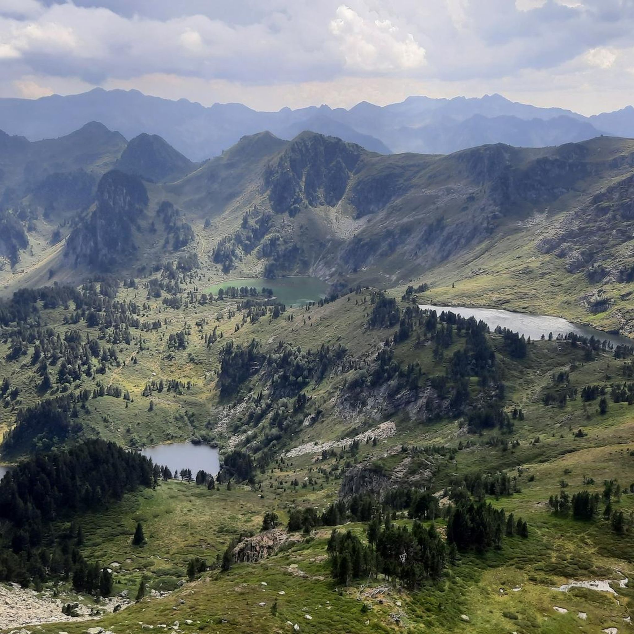
Yes, there are 4 moderate mountaineering routes available. A popular choice is the Étang Bleu – Étang Noir loop from Port de Pailhères, a 7.2-mile (11.6 km) trail featuring high-altitude lakes and mountain passes. Another option is the Vallée d'Orgeix – Turbine centrale du Teich loop from Ax-les-Thermes, which offers scenic valley landscapes.
What natural landmarks or viewpoints can I discover along the mountaineering routes?
The routes often pass by significant natural features. For instance, the Étang Bleu – Étang Noir loop from Port de Pailhères takes you past beautiful high-altitude lakes. The region is also known for dramatic gorges like the Gorges de la Pierre-Lys and Gorges de Galamus, and you can find various mountain passes such as Pailhères Pass and Pradel Pass, offering expansive views.
Are there any circular mountaineering routes around Mérial?
Yes, many of the mountaineering routes around Mérial are designed as loops, allowing you to start and end at the same point. Examples include the Étang Bleu – Étang Noir loop from Port de Pailhères and the Refuge d'En Beys loop from Le Fanguil-Chalet.
What do other mountaineers enjoy the most about mountaineering in Mérial?
The mountaineering routes in Mérial are highly rated by the komoot community, with an average score of 4.5 stars from 6 reviews. Reviewers often praise the diverse mountainous landscapes, the dramatic gorges, and the challenging yet rewarding Pyrenean peaks that define the area.
Is it possible to find routes that include historical sites or castles?
While the primary focus is on natural mountain landscapes, some routes may offer glimpses of historical elements. For example, the Quercourt Rock – Montaillou Castle loop from Camurac includes a castle, blending natural beauty with historical interest.
What is the best time of year for mountaineering in Mérial?
The best time for mountaineering in Mérial generally aligns with late spring, summer, and early autumn when weather conditions are more stable and snow has receded from higher elevations. Always check local weather forecasts and trail conditions before heading out, especially for higher altitude routes.
Are there opportunities for wildlife spotting on the mountain trails?
The mountainous and natural reserve areas around Mérial, such as the Réserve naturelle régionale de Nyer (though further afield), provide habitats for various wildlife. While specific sightings are never guaranteed, keeping an eye out for local fauna is part of the experience in these wilder regions.
Are there any specific peaks or summits accessible from Mérial?
Mérial's proximity to the Pyrénées means that significant peaks are accessible. While the iconic Pic du Canigou is about 49 km away, closer options include Pic de Tarbesou and Pic du Midi de Roquefeuil, which offer rewarding ascents and panoramic views.
What is the typical elevation gain on mountaineering routes in this area?
The elevation gain on mountaineering routes around Mérial varies significantly depending on the trail's difficulty and length. For instance, moderate routes like the Vallée d'Orgeix – Turbine centrale du Teich loop have an elevation gain of around 305 meters, while more difficult routes such as the Refuge d'En Beys loop can involve over 860 meters of ascent.
Most popular attractions around Mérial

Get inspired with the komoot mobile app


Explore more
Browse the best Mountain Hikes & Routes in other regions.
