The best mountain hikes around Saint-Clément
5.0
(7)
14
hikers
2
hikes
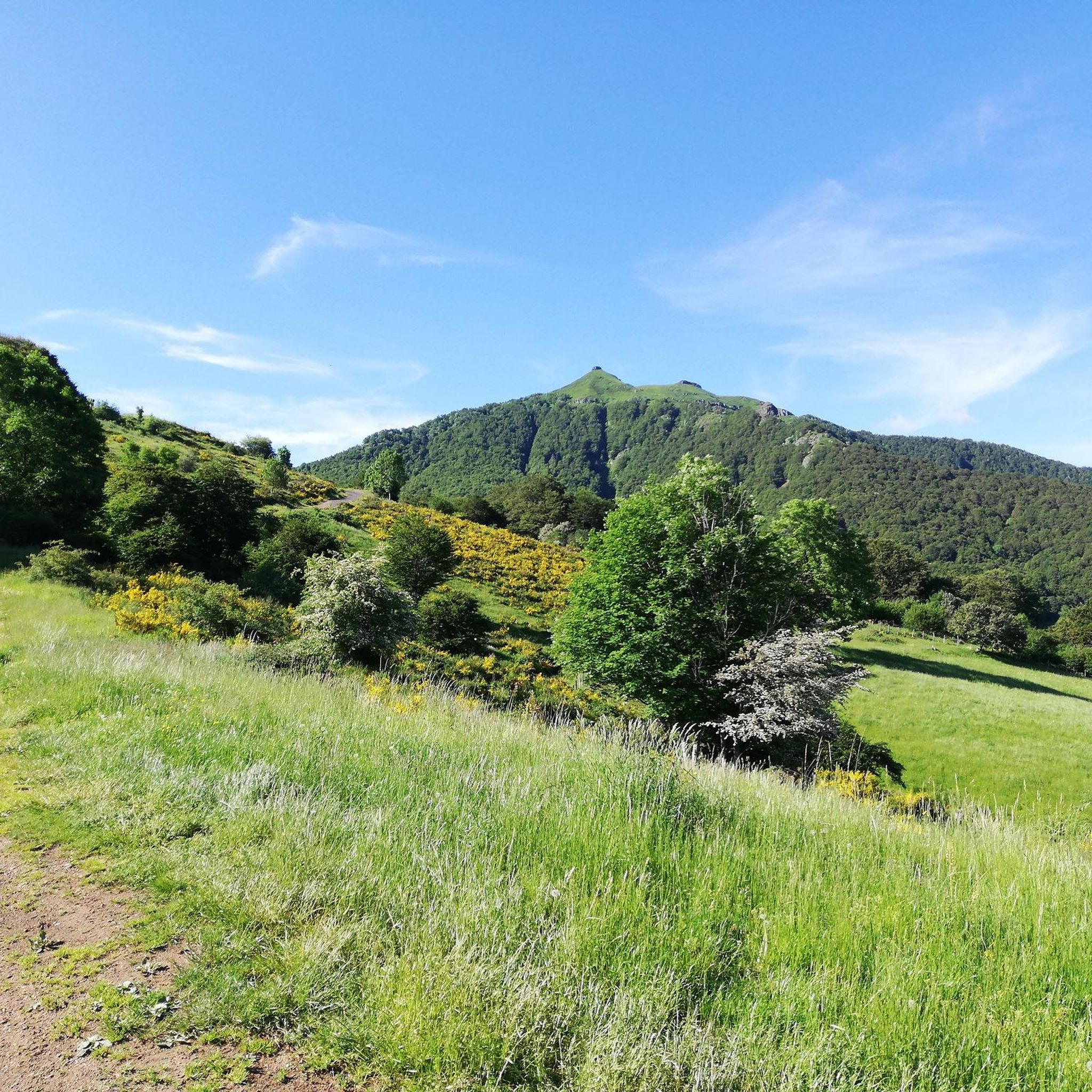
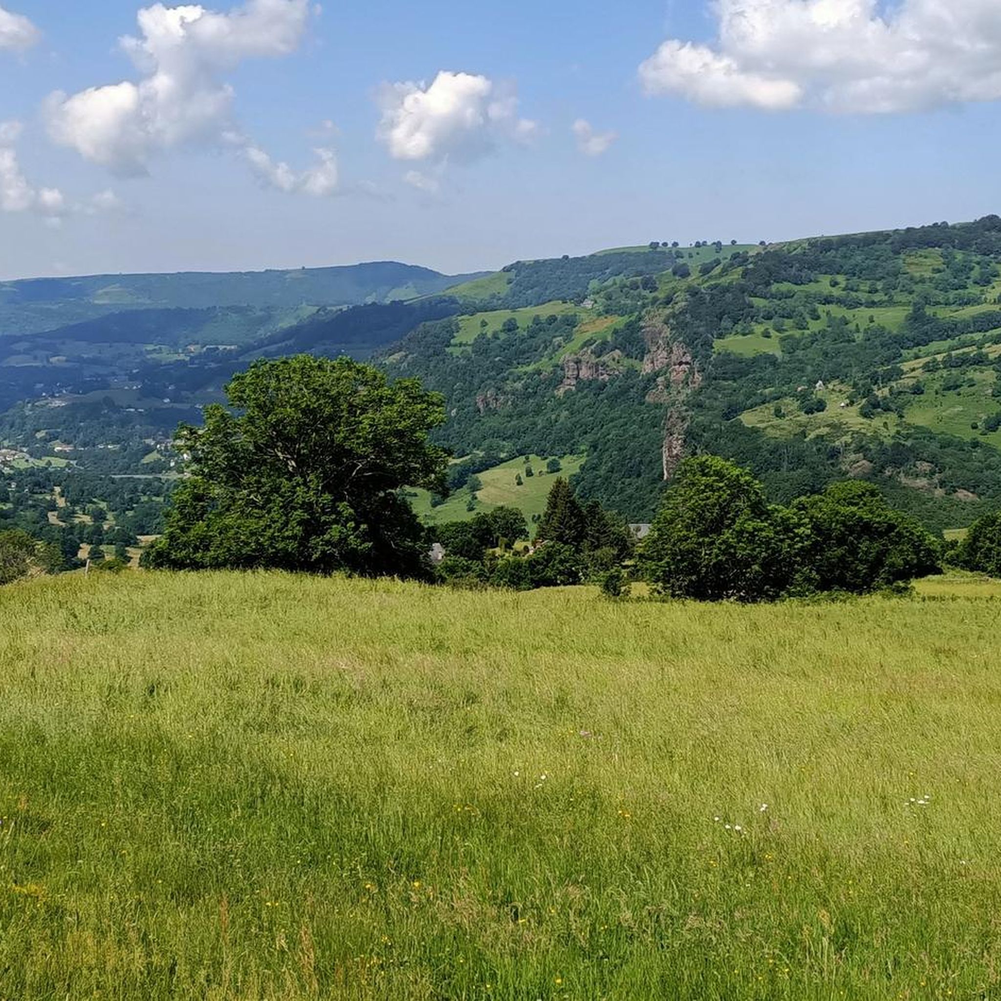
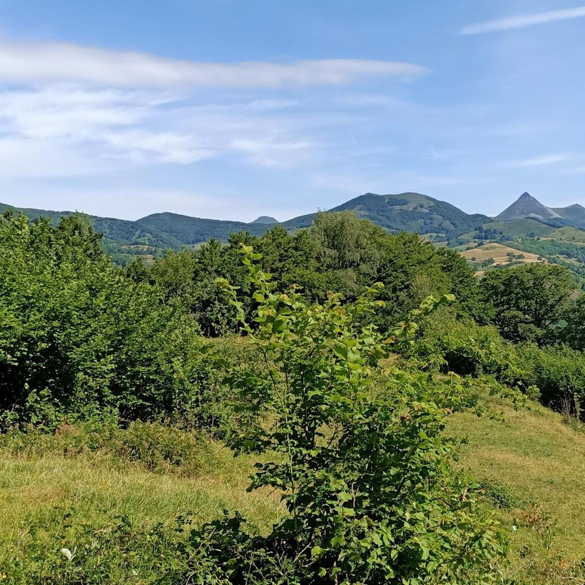
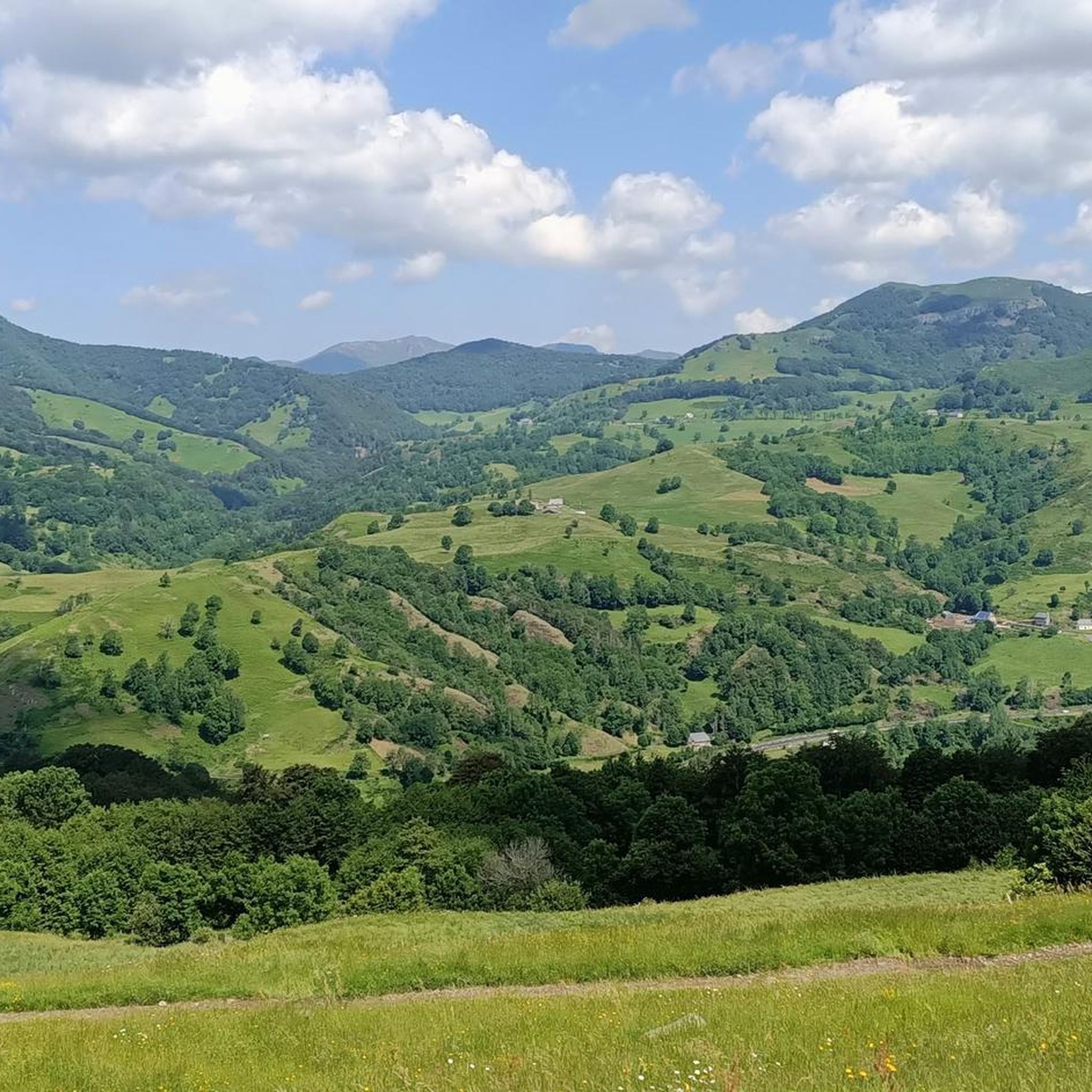
Mountaineering routes around Saint-Clément are situated in a region characterized by volcanic peaks and high-altitude ridges, offering diverse terrain for exploration. The landscape features prominent summits such as Plomb du Cantal and Puy Mary, alongside forested slopes and open mountain passes. These routes provide opportunities for challenging ascents and scenic traverses across the Cantal massif.
Best mountaineering routes around Saint-Clément
- The most popular mountaineering route is Plomb du Cantal, 1,855 m – Vue sur la mer de nuages 🏔️⛅🏔️ loop…
Last updated: July 8, 2026
5.0
(4)
6
hikers
20.8km
07:42
1,030m
1,030m
Hard mountaineering route. Very good fitness required. Sure-footedness, sturdy shoes and alpine experience required.
5.0
(1)
5
hikers
11.5km
04:43
690m
690m
Hard mountaineering route. Good fitness required. Sure-footedness, sturdy shoes and alpine experience required.

Sign up for free
5.0
(2)
3
hikers
4.03km
01:18
170m
170m
Moderate mountaineering route. Great for any fitness level. Mostly accessible paths. Sure-footedness required.
Our route recommendations are based on thousands of hikes, rides, and runs completed by other people on komoot.
Start today with a free account
Your next adventure awaits.
Login or Signup
Tips from the Community

Superb and eating at the buron moved
0
0

magnificent hike along the waterfalls. calm
0
0

A magnificent site where the panoramas are breathtaking!!!
0
0

The Rolland Breach was mildly challenging for this 72yo when dry. Descending in the wet would need good grippy footwear. There is an alternative GR400 track bypass
0
0

nice climb and good visibility over the valley
0
0

At an altitude of 1,588 meters, the Pas de Peyrol is located between the Puy Mary and the Puy de la Tourte. It is known to be the highest road pass in the Massif Central and is worth it, because the last few kilometers have high percentages. There you can admire Puy Mary which peaks at an altitude of 1,783 metres. It is one of the peaks of the Cantal mountains. It is easily recognizable with its pyramidal silhouette.
1
0

In a wind that dehorns the oxen, sublime landscapes in all seasons!
2
0
Frequently Asked Questions
How many mountaineering routes are available around Saint-Clément?
There are 7 mountaineering routes around Saint-Clément documented on komoot. These routes offer a range of challenges, with 2 considered moderate and 5 classified as difficult.
Are there any beginner-friendly mountaineering routes in the Saint-Clément area?
While there are no routes specifically rated as 'easy' for mountaineering around Saint-Clément, you can find two moderate options. One such route is Plomb du Cantal, 1,855 m – Vue sur la mer de nuages 🏔️⛅🏔️ loop from Col de Prat-de-Bouc, which covers 8.4 miles (13.5 km) with significant elevation gain, offering a good introduction to the region's terrain.
What are some challenging mountaineering trails near Saint-Clément?
For those seeking a challenge, the Saint-Clément area offers several difficult mountaineering routes. A notable one is the Ridge line – Puy Mary Summit loop from Mandailles, a demanding 12.9 miles (20.8 km) trail that traverses dramatic ridge lines and volcanic landscapes.
Are there any circular mountaineering routes around Saint-Clément?
Yes, many of the mountaineering routes in the Saint-Clément area are designed as loops. For example, the popular Puy du Rocher 1813m – Plomb du Cantal, 1,855 m loop from Super Lioran offers a challenging 7.8 miles (12.6 km) circular path through high mountain terrain.
What is the typical duration for mountaineering routes in this region?
The duration of mountaineering routes around Saint-Clément varies significantly based on difficulty and length. Moderate routes, like the Plomb du Cantal loop from Col de Prat-de-Bouc, typically take around 4 hours 40 minutes. More challenging routes, such as the Ridge line – Puy Mary Summit loop, can take up to 7 hours 40 minutes or more.
What can I see along the mountaineering routes around Saint-Clément?
The routes offer stunning views of the Cantal massif's volcanic landscape. You'll encounter prominent summits like Plomb du Cantal and various mountain passes such as Roland's Breach and Cabre Pass. These natural monuments provide excellent points of interest and panoramic vistas.
What is the best season for mountaineering in Saint-Clément?
The best season for mountaineering in the Cantal massif, where Saint-Clément is located, is generally from late spring to early autumn (May to October). During these months, trails are typically free of snow, and weather conditions are more stable, offering clearer views and safer passage on high-altitude ridges.
Are there any less crowded alternatives for mountaineering near Saint-Clément?
While specific crowd levels can vary, exploring routes that start from less central points or are slightly longer can often lead to a more solitary experience. Consider routes that venture into the broader Cantal massif beyond the most popular summits to find quieter trails.
What do other mountaineers enjoy most about the routes in Saint-Clément?
The mountaineering routes around Saint-Clément are highly rated by the komoot community, with an average score of 5.0 stars from over 9 reviews. Reviewers often praise the dramatic volcanic landscapes, the challenging ascents, and the expansive panoramic views from the summits and ridge lines.
Is there parking available at the trailheads for mountaineering routes?
Many of the mountaineering routes around Saint-Clément, especially those starting from popular access points like Col de Prat-de-Bouc or Super Lioran, typically have designated parking areas. It's advisable to check specific route descriptions for detailed parking information before your trip.
Are there any cafes or refreshment stops along the mountaineering routes?
While the high-altitude sections of mountaineering routes are generally remote, you may find cafes or small eateries in villages or ski resorts near the starting points, such as Super Lioran or Mandailles. It's always recommended to carry sufficient water and snacks for the duration of your hike, as on-route facilities are limited.
What kind of gear should I bring for mountaineering in Saint-Clément?
Given the volcanic peaks and high-altitude ridges, essential gear includes sturdy hiking boots with good ankle support, layered clothing suitable for changing mountain weather, waterproof and windproof outerwear, a map and compass or GPS device, sufficient water and food, and sun protection. Trekking poles can also be very helpful on steep ascents and descents.
Can I reach mountaineering trailheads near Saint-Clément using public transport?
Access to some trailheads, particularly those in more developed areas like Super Lioran, might be possible via regional bus services, especially during peak tourist seasons. However, many starting points for mountaineering routes in the Cantal massif are quite remote, making personal vehicle transport often the most convenient option. It's best to research specific public transport links to your chosen trailhead in advance.
Most popular attractions around Saint-Clément

Get inspired with the komoot mobile app


Explore more
Browse the best Mountain Hikes & Routes in other regions.
