The best mountain hikes around Vernaux
3.8
(3)
17
hikers
3
hikes
Mountaineering routes around Vernaux are situated in the Ariège department of southwestern France, offering access to the Pyrenees mountain range. The region features a significant altitude range, with terrain rising to over 2,000 meters, providing high-altitude environments for exploration. This area is known for its diverse rock types, including limestone, gneiss, and granite, supporting a wide array of climbing opportunities. Vernaux serves as a base for accessing challenging ascents and offers immediate proximity to mountainous landscapes.
Best mountaineering routes around…
Last updated: July 8, 2026
7
hikers
11.0km
05:32
900m
910m
Hard mountaineering route. Very good fitness required. Sure-footedness, sturdy shoes and alpine experience required.
2
hikers
8.55km
02:50
350m
360m
Moderate mountaineering route. Good fitness required. Mostly accessible paths. Sure-footedness required.

Sign up for free
5.0
(1)
4
hikers
12.5km
05:42
940m
940m
Hard mountaineering route. Very good fitness required. Sure-footedness, sturdy shoes and alpine experience required.
2.5
(2)
4
hikers
16.3km
05:55
780m
780m
Hard mountaineering route. Very good fitness required. Sure-footedness, sturdy shoes and alpine experience required.
Our route recommendations are based on thousands of hikes, rides, and runs completed by other people on komoot.
Start today with a free account
Your next adventure awaits.
Login or Signup
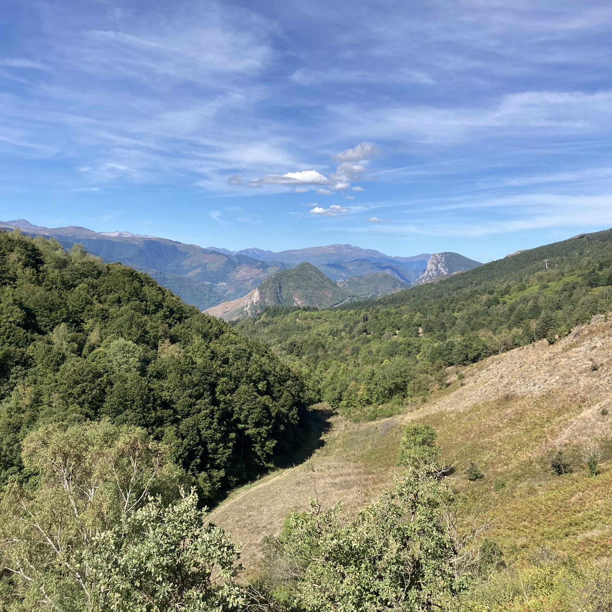
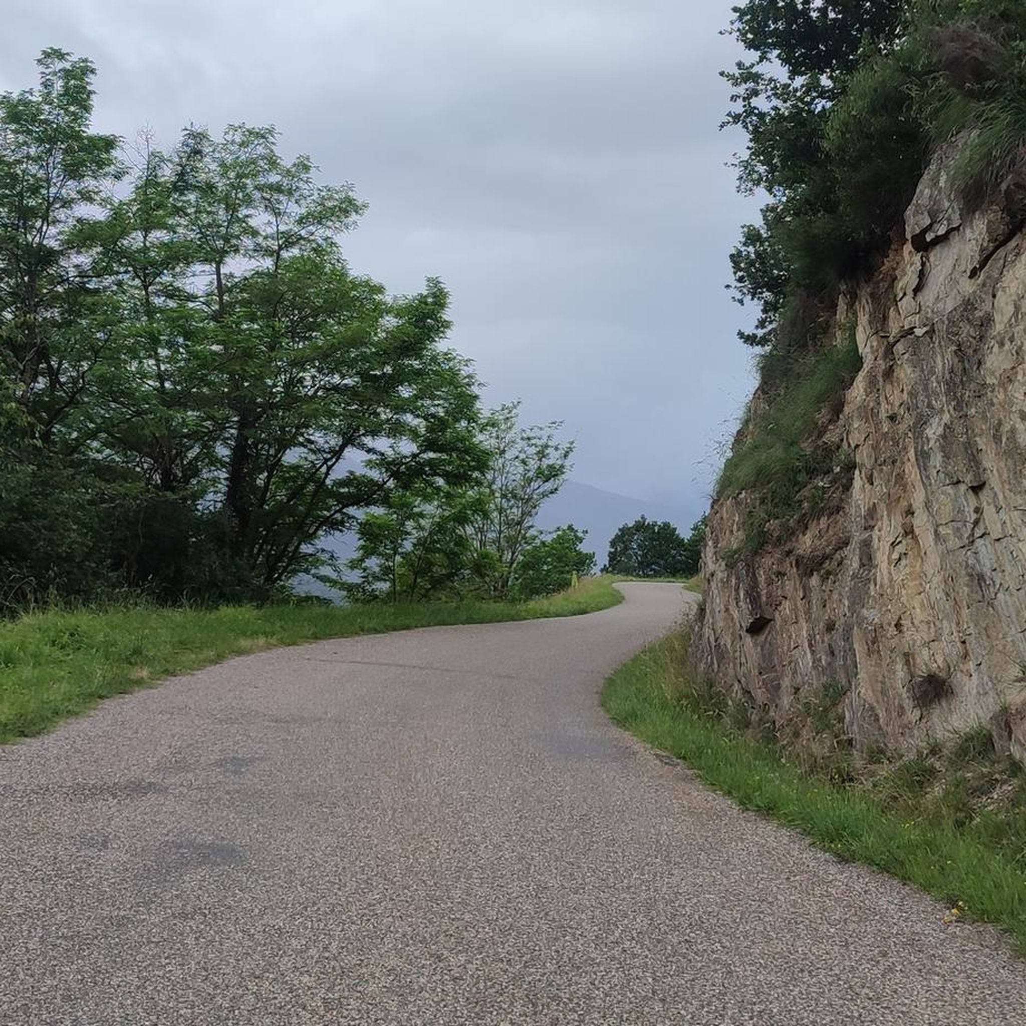
Tips from the Community

There are several fountains and public pools with pure thermal water to warm your feet after the descent.
0
0

A must-see in Ariège that you should do at least once in your life. The view of the various mountain ranges is splendid.
0
0

Be careful, expert route but what a view
0
0

Nice relax and shower stop in the swimming pool by Parc de'Espagne. Also a hose to clean the bikes in park near the gondola lift entry.
0
0


Very good route to do in spring or summer
0
0

After rolling over various cols, Manier can hang out well
0
0

Ax-les-Thermes is a beautiful town in the eastern Pyrenees. And a great place as a base for cycling trips. Several classic cols nearby. This spa has an excellent range of hotels, restaurants and shops.
1
0
Frequently Asked Questions
What kind of mountaineering routes can I expect around Vernaux?
The Vernaux area, nestled in the Ariège Pyrenees, offers a range of mountaineering experiences characterized by high-altitude terrain and diverse rock types like limestone, gneiss, and granite. You'll find routes with significant elevation gains and panoramic views, suitable for those seeking a challenge. The region is a gateway to the broader Pyrenees, providing access to impressive peaks and varied climbing opportunities.
Are there any circular mountaineering routes in the Vernaux area?
Yes, several routes around Vernaux are circular, allowing you to start and end at the same point. For a challenging option, consider the Étang de Moulzoune – Étang du Diable loop from SN 1678, which is 15.2 km long. A slightly shorter, but still difficult, circular route is the Mont d'Olmes loop from Les Monts d'Olmes, covering 9.1 km.
What are some moderate mountaineering options near Vernaux?
If you're looking for moderate challenges, the area offers routes like the Vallée d'Orgeix – Turbine centrale du Teich loop from Ax-les-Thermes, which is 9.7 km long and takes around 2 hours 57 minutes. Another moderate choice is the Ax-les-Thermes loop from Ax-les-Thermes, an 8.5 km route typically completed in about 2 hours 50 minutes.
What are the most challenging mountaineering routes around Vernaux?
For experienced mountaineers seeking a significant challenge, the Étang de Moulzoune – Étang du Diable loop from SN 1678 is a difficult 15.2 km route with substantial elevation gain. Another demanding option is the Mont d'Olmes – Cadène Pass loop from Les Monts d'Olmes, covering 12.8 km and offering a strenuous ascent with rewarding views.
What natural features or landmarks can I see along the mountaineering routes?
The routes often provide stunning views of the Pyrenees. You might encounter various mountain peaks such as Mount Fourcat or Saint-Barthélemy Peak. There are also notable mountain passes like La Lauze Pass and Col de Marmare, offering unique perspectives of the landscape. The region's geological interest also includes the Trimouns talc quarry, which can be a point of interest for hikers.
How long do mountaineering routes near Vernaux typically take?
The duration of routes varies depending on their length and difficulty. Moderate routes like the Ax-les-Thermes loop from Ax-les-Thermes can take around 2 hours 50 minutes. More difficult and longer routes, such as the Étang de Moulzoune – Étang du Diable loop from SN 1678, typically require about 6 hours 49 minutes to complete.
What do other mountaineers say about the routes around Vernaux?
The mountaineering routes around Vernaux are highly regarded by the komoot community, holding an average rating of 4.3 out of 5 stars. Users often praise the challenging high-altitude terrain and the rewarding panoramic views of the Pyrenean landscape.
Is Vernaux a good base for accessing higher Pyrenean peaks?
Yes, Vernaux serves as an excellent base for accessing higher Pyrenean peaks. Its location within the high Ariège valley places it in proximity to impressive summits like Montcalm Peak (3,077 meters) and Pica d'Estats (3,143 meters), offering opportunities for more demanding ascents and acclimatization.
What is the best time of year for mountaineering in Vernaux?
While specific seasonal data isn't provided, the Pyrenees region generally offers optimal mountaineering conditions from late spring through early autumn (May to October), when snowmelt has largely receded from higher elevations and weather is more stable. However, conditions can vary, so always check local forecasts and trail conditions before heading out.
Are there opportunities for other outdoor activities in the Vernaux area besides mountaineering?
Absolutely. Beyond mountaineering, the Ariège department, where Vernaux is located, is renowned for a wide array of outdoor activities. You can find extensive rock climbing routes, hiking and trekking trails, canyoning in gorges and rivers, and even caving (spelunking) in its rich network of subterranean caves. During colder months, its proximity to ski resorts like Ax 3 Domaines suggests opportunities for winter sports such as ski touring and snowshoeing.
Can I find viewpoints with panoramic vistas along the trails?
Yes, the mountainous terrain around Vernaux offers numerous opportunities for panoramic views. Specific viewpoints like Pierre Blanche Pass and the View of the summit of Crouzille are highlighted as excellent spots to take in the expansive Pyrenean landscape.
Most popular attractions around Vernaux

Get inspired with the komoot mobile app


Explore more
Browse the best Mountain Hikes & Routes in other regions.
