The best mountain hikes around Bazus-Aure
4.5
(9)
32
hikers
4
hikes
Mountaineering routes around Bazus-Aure traverse the high-altitude landscapes of the French Pyrenees, characterized by rugged peaks, alpine lakes, and deep valleys. The terrain often involves significant elevation gains and rocky sections, offering challenging ascents and panoramic views. This region provides a diverse environment for mountaineers, from exposed ridges to forested slopes.
Best mountaineering routes around Bazus-Aure
- The most popular mountaineering route is Arbizon loop from Aulon, a 6.4 miles (10.3 km) trail that takes 7 hours 13 minutes to…
Last updated: August 31, 2026
4.0
(2)
12
hikers
10.5km
07:16
1,370m
1,370m
Hard mountaineering route. Very good fitness required. Sure-footedness, sturdy shoes and alpine experience required.
4
hikers
11.3km
03:59
620m
620m
Moderate mountaineering route. Good fitness required. Easily-accessible paths. Suitable for all skill levels.

Sign up for free
5.0
(3)
7
hikers
17.5km
06:05
930m
930m
Hard mountaineering route. Very good fitness required. Mostly accessible paths. Sure-footedness required.
4.5
(2)
4
hikers
7.53km
02:42
430m
430m
Moderate mountaineering route. Good fitness required. Mostly accessible paths. Sure-footedness required.
4.5
(2)
5
hikers
11.8km
04:10
270m
270m
Moderate mountaineering route. Good fitness required. Mostly accessible paths. Sure-footedness required.
Our route recommendations are based on thousands of hikes, rides, and runs completed by other people on komoot.
Start today with a free account
Your next adventure awaits.
Login or Signup
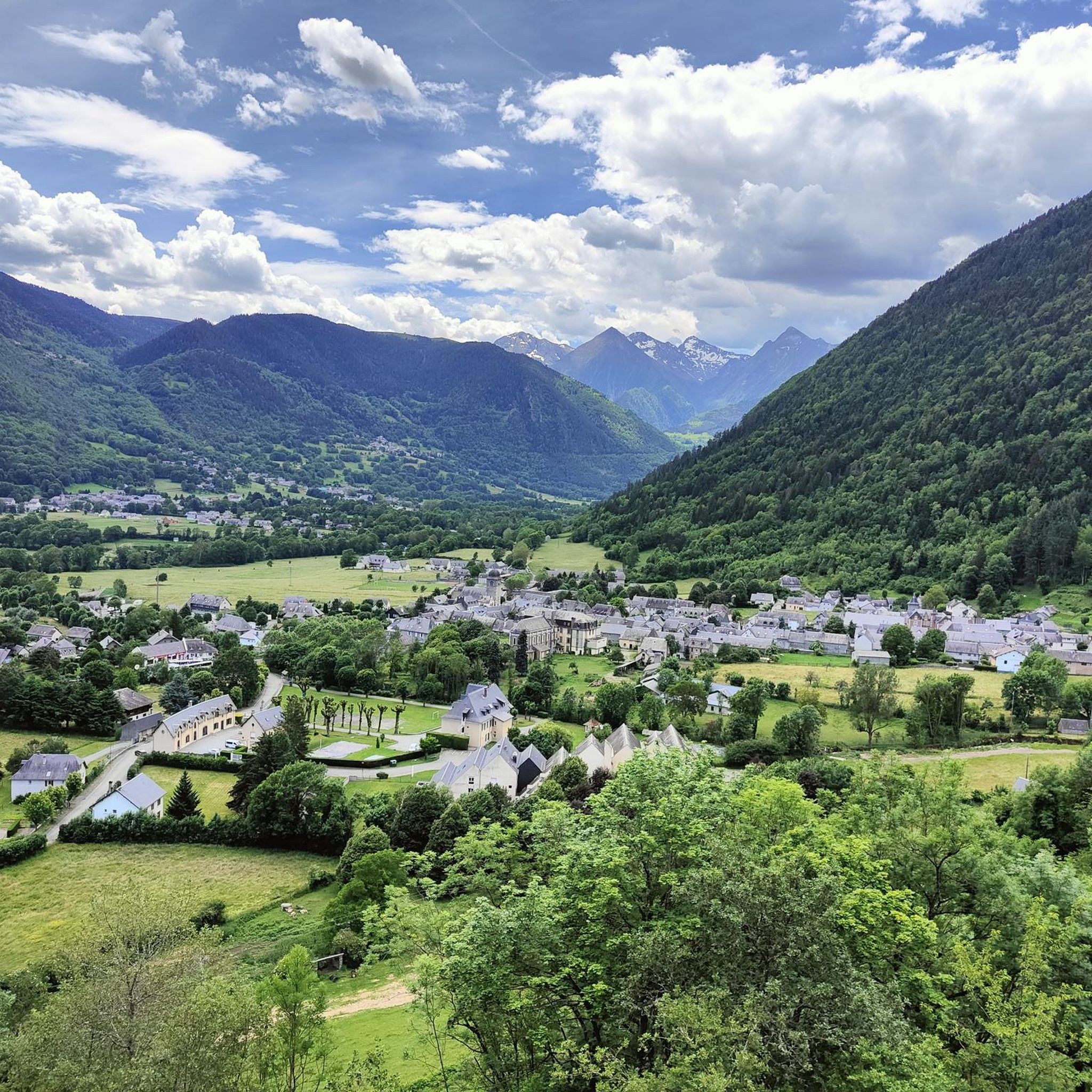
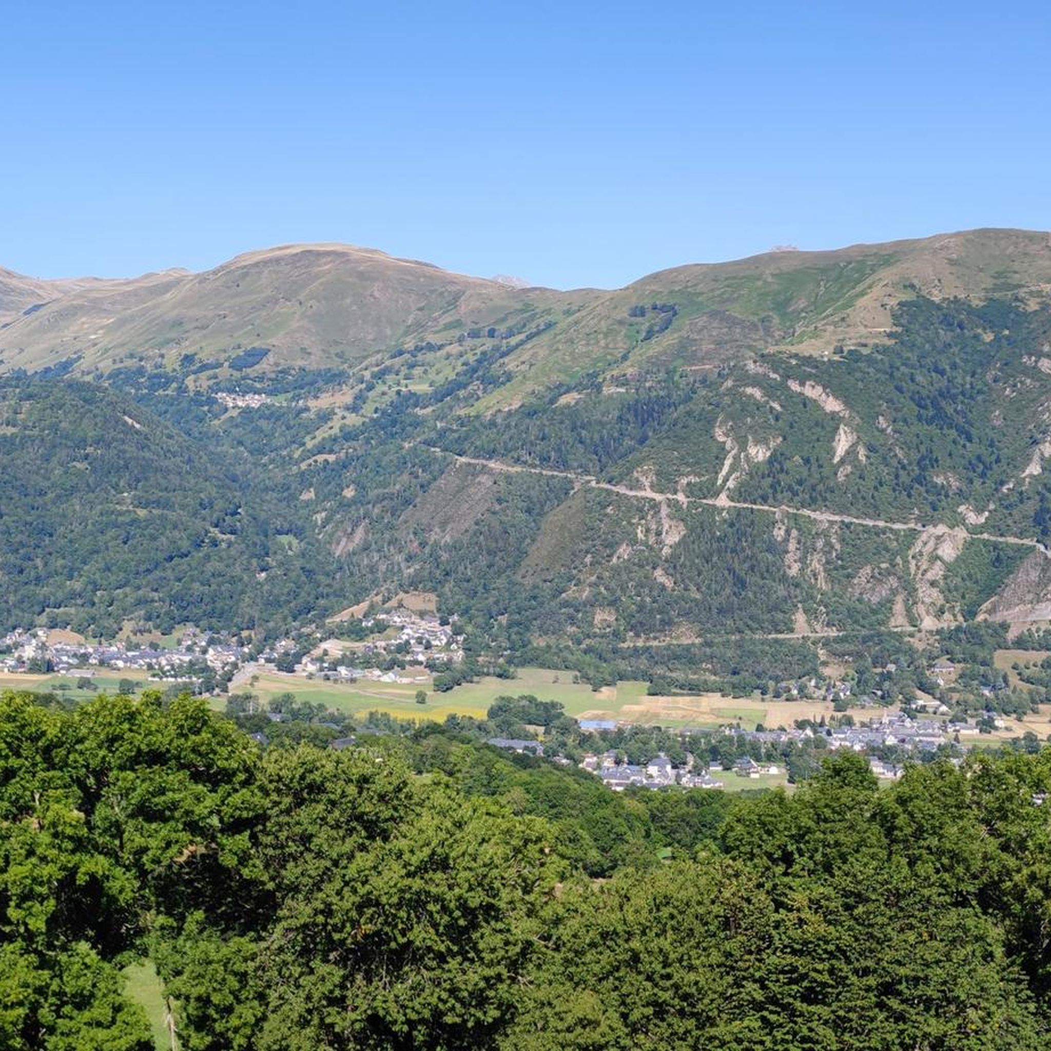


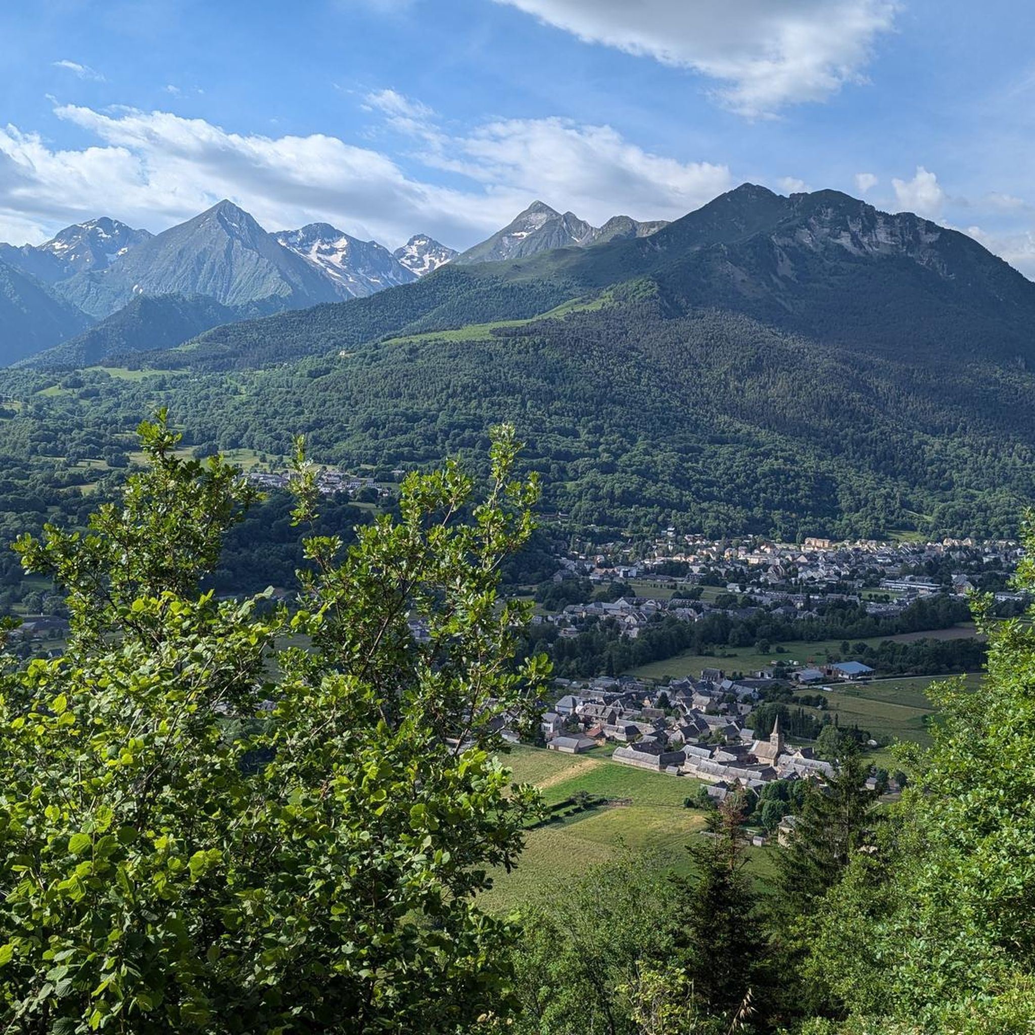
Tips from the Community

Beautiful lake next to the Bastan refuge
0
0

Pleasant and legendary climb used by the Tour de France
1
0

Difficult pass at first, especially in the heat. Easier after the first third. Be careful of the unlit tunnel 1 km from the summit. For added peace and quiet, the road leading up to the pass is closed to traffic from 4 p.m. to 6 p.m.
0
0

A very nice short hike. The beginning is very steep, then passes through the forest, before becoming open with magnificent views. The return begins with a 10-minute walk through a rather unpleasant meadow, then it's easy.
0
0
Great hike to do in winter with snowshoes/crampons. Great view 😍
0
0

Incredible panoramic view of the surrounding valleys and peaks, including the Pic du Midi, the Col du Tourmalet and the Aure valley.
2
0

The summit of Plo del Naou offers panoramic views of the Pyrenees, making it a great destination. At over 1,700 metres above sea level, you will be surrounded by rugged peaks. On a clear day, you can see the majestic Pic du Midi and the neighbouring peaks stretching into the distance.
2
1

Frequently Asked Questions
What is the general difficulty level of mountaineering routes around Bazus-Aure?
The mountaineering routes in Bazus-Aure are primarily categorized as moderate to difficult. There are no easy routes listed, so a good level of fitness and experience is recommended. For example, the Arbizon loop from Aulon is a difficult route with substantial elevation gain.
Are there any moderate mountaineering routes suitable for those with some experience?
Yes, there are several moderate routes available. The Plo del naou loop from Aspin-Aure is a moderate 6.9 miles (11.1 km) trail, and the Cap de Pède – Granges de Grascouéou loop from Vignec is another moderate option, covering 4.6 miles (7.4 km).
What are the typical distances and durations for mountaineering routes in this region?
The routes vary in length and time commitment. You can find trails ranging from approximately 4.6 miles (7.4 km) like the Cap de Pède – Granges de Grascouéou loop from Vignec, which takes around 2 hours 40 minutes, up to 10.9 miles (17.5 km) for the challenging Sommet de Pouy Louby – Pic du Lion loop from Cazaux-Fréchet-Anéran-Camors, which can take over 6 hours.
Are there any circular mountaineering routes around Bazus-Aure?
Yes, all the listed mountaineering routes in this guide are circular. This includes the Arbizon loop from Aulon, the Plo del naou loop from Aspin-Aure, and the Sommet de Pouy Louby – Pic du Lion loop from Cazaux-Fréchet-Anéran-Camors, offering varied experiences without needing to retrace your steps.
What kind of terrain can I expect on these mountaineering routes?
The terrain around Bazus-Aure is characteristic of the French Pyrenees, featuring rugged peaks, alpine lakes, and deep valleys. Expect significant elevation gains, rocky sections, and varied mountain scenery, from exposed ridges to forested slopes. Routes like the Sommet de Pouy Louby – Pic du Lion loop explore high mountain terrain, including prominent peaks.
What do other mountaineers say about the routes in Bazus-Aure?
The routes in Bazus-Aure are highly rated by the komoot community, with an average score of 4.5 stars from over 9 reviews. Mountaineers often praise the expansive mountain vistas and the challenging ascents that define the region's high-altitude landscapes.
Are there any notable landmarks or attractions along the mountaineering routes?
While specific attractions directly on the routes are not detailed, the region is known for its stunning mountain passes. You might encounter areas near Hourquette d'Ancizan, Col de Val Louron-Azet, or Portet Pass, which are significant points of interest in the broader area.
What is the best time of year for mountaineering in Bazus-Aure?
The best time for mountaineering in the Pyrenees, including Bazus-Aure, is typically from late spring to early autumn (June to September) when the snow has largely melted from higher elevations and weather conditions are more stable. Always check local weather forecasts and trail conditions before heading out, especially for higher altitude routes.
Are there any routes that feature alpine lakes?
Yes, the Middle Bastan Lake – Upper Bastan Lake loop from Col de Portet is a moderate route that specifically highlights alpine lakes, offering beautiful scenery and a unique experience in the high mountains.
What should I consider for advanced mountaineering challenges in Bazus-Aure?
For advanced challenges, focus on the difficult-rated routes that involve significant elevation gain and explore high mountain terrain. The Arbizon loop from Aulon and the Sommet de Pouy Louby – Pic du Lion loop are excellent choices for experienced mountaineers seeking demanding ascents and panoramic views.
Is Bazus-Aure suitable for family-friendly mountaineering?
Given that all listed routes are rated moderate to difficult, mountaineering in Bazus-Aure is generally more suited for families with older children or teenagers who have prior mountaineering experience and a good level of fitness. There are no easy routes specifically designed for young children.
Where can I find trailhead information or parking for these routes?
Specific trailhead and parking information is typically detailed on each individual route page. For example, the Arbizon loop starts from Aulon, and the Plo del naou loop begins from Aspin-Aure. We recommend checking the respective komoot tour pages for precise starting points and any available parking details.
Most popular routes around Bazus-Aure
Most popular attractions around Bazus-Aure

Get inspired with the komoot mobile app


Explore more
Browse the best Mountain Hikes & Routes in other regions.
