The best mountain hikes around Railleu
4.9
(8)
36
hikers
3
hikes
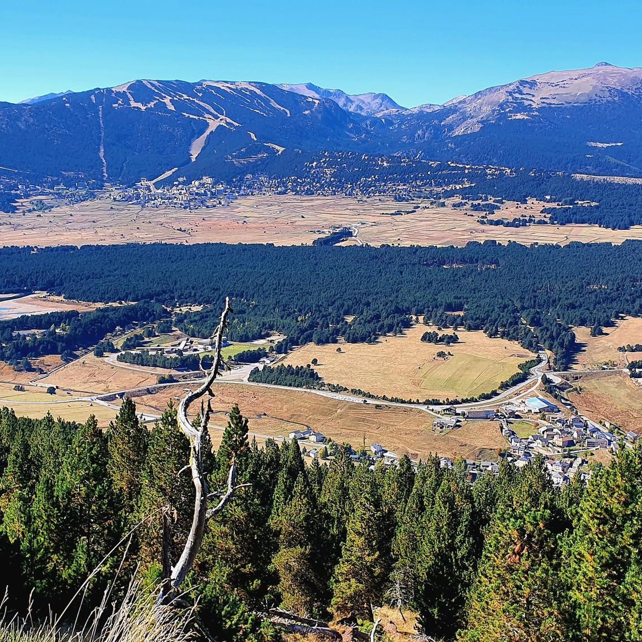
Mountaineering routes around Railleu are situated within the Pyrénées-Orientales department, nestled in the Regional Natural Park of the Catalan Pyrenees. The area features a diverse mountainous environment with altitudes ranging from 1150m to 2080m. The landscape is characterized by ancient massifs, granitoids, schists, and varied rock formations, shaped by the Pyrenean orogeny. This geological diversity contributes to a rich array of ecosystems, including numerous mountain lakes such as those around Bouillouses and Camporells.
Best mountaineering routes around Railleu
- The most…
Last updated: July 8, 2026
11
hikers
26.7km
08:55
1,270m
1,270m
Hard mountaineering route. Very good fitness required. Easily-accessible paths. Suitable for all skill levels.
4.7
(3)
10
hikers
12.6km
04:34
370m
370m
Moderate mountaineering route. Good fitness required. Mostly accessible paths. Sure-footedness required.

Sign up for free
5
hikers
11.1km
03:31
370m
370m
Hard mountaineering route. Good fitness required. Sure-footedness, sturdy shoes and alpine experience required.
5.0
(2)
4
hikers
16.8km
05:37
550m
550m
Hard mountaineering route. Very good fitness required. Mostly accessible paths. Sure-footedness required.
2
hikers
6.04km
01:56
250m
250m
Easy mountaineering route. Great for any fitness level. Easily-accessible paths. Suitable for all skill levels.
Our route recommendations are based on thousands of hikes, rides, and runs completed by other people on komoot.
Start today with a free account
Your next adventure awaits.
Login or Signup
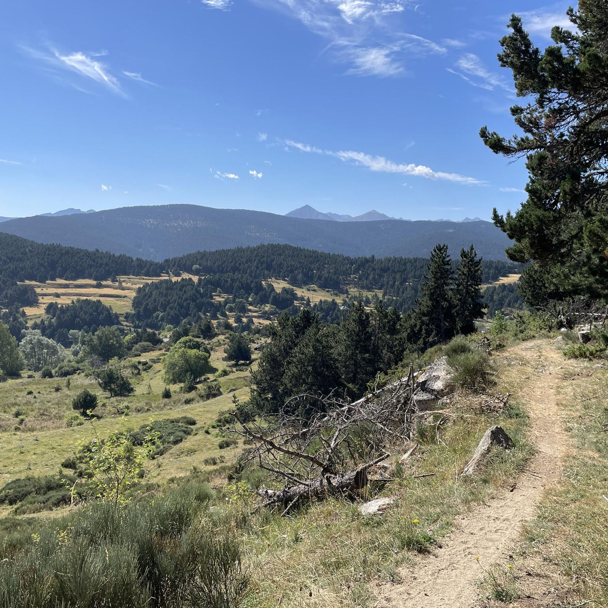
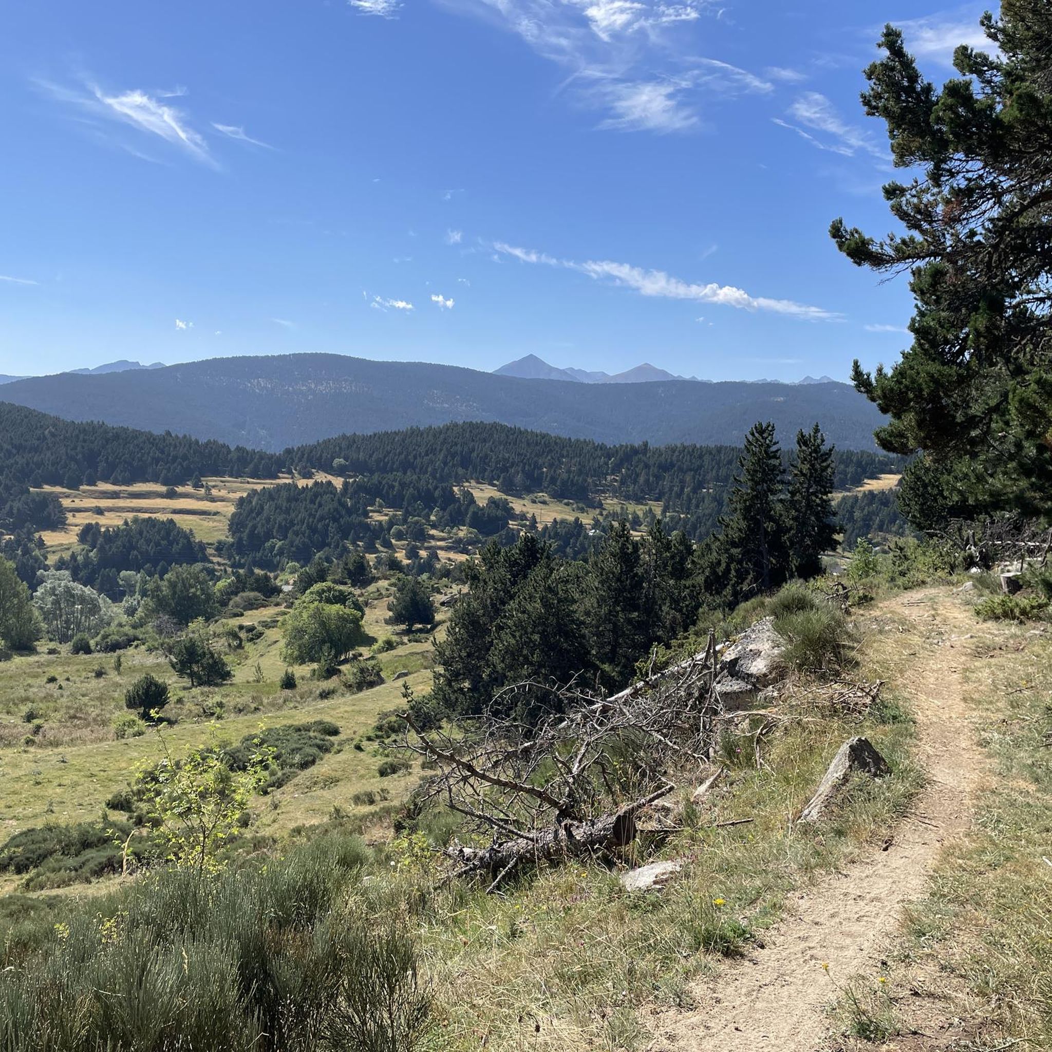
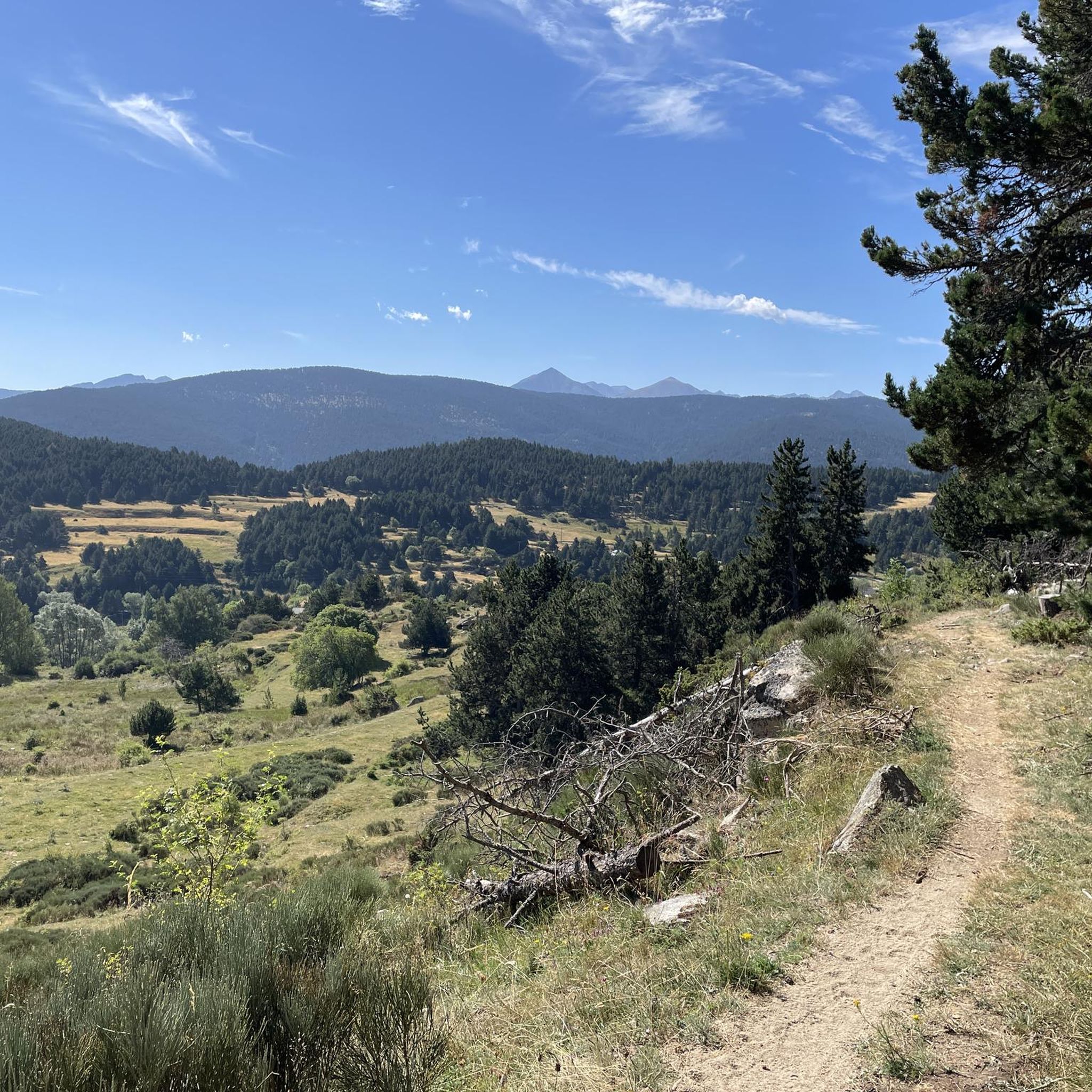
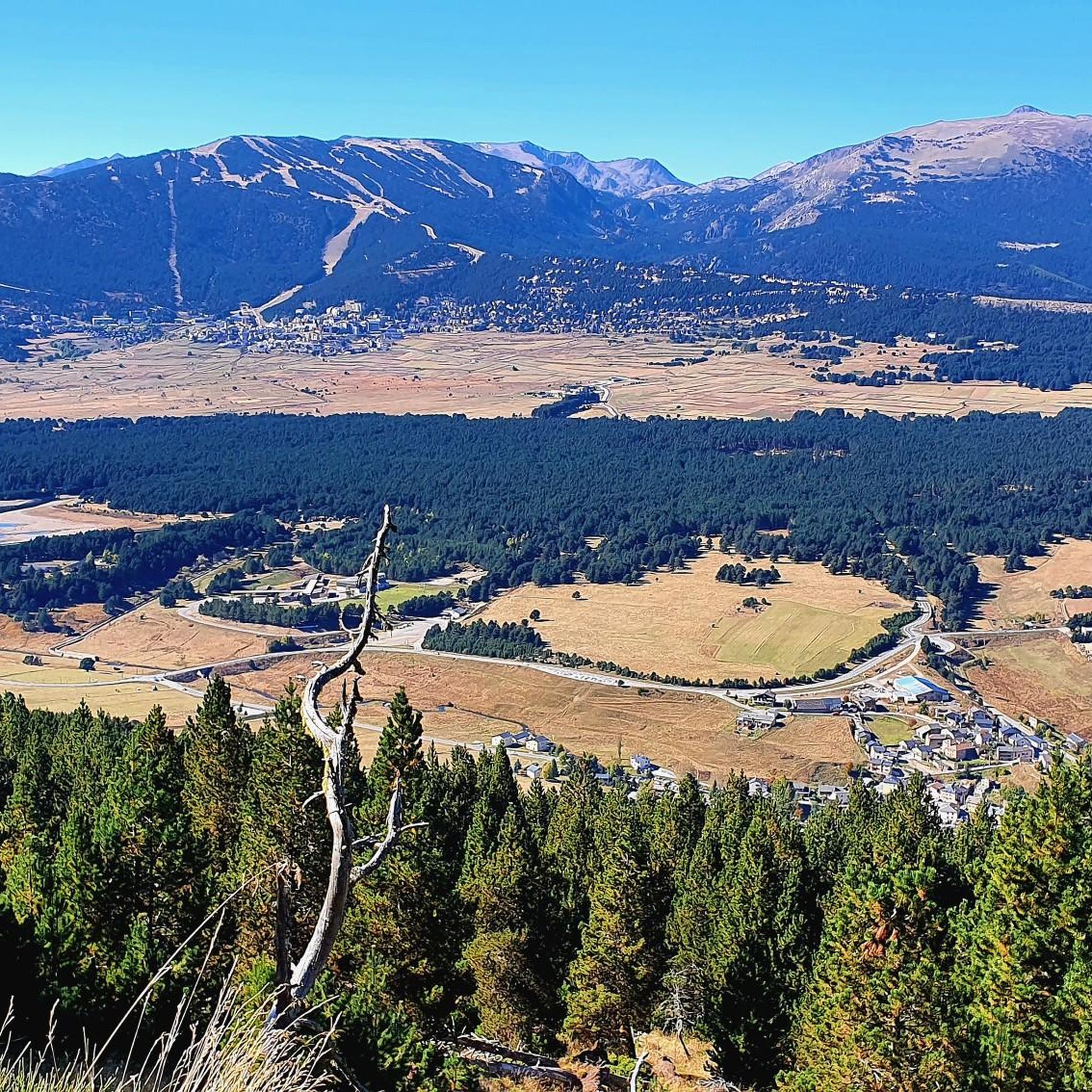

Tips from the Community

This super panoramic trail overlooks the El Galba watercourse, and offers all along a superb panorama of the Galbe valley. You are thus accompanied by fir trees, large green meadows and the mineral, snow-capped peaks in the background.
0
0
The L'abri de la Jasse is an open hut that allows you to stop for the night, but also to take a break sheltered from the sun or rain. It is set in a magnificent, peaceful natural setting, in the middle of a clearing dotted with pine trees.
0
0

Snowshoeing itinerary in the Bulloses area https://www.youtube.com/watch?v=esdackshECU
0
0


Estany de la Pradella, also called the pond or lake of Pradeilles, is a beautiful mountain lake in the Pyrénées-Orientales. A superb setting for cycling in the heart of nature.
0
0

The lake of Bouillouses is a true natural jewel of the Catalan Pyrenees, surrounded by mountains and forests. This high-altitude lake, accessible by hiking trails, offers a spectacular setting where you can admire the crystal-clear waters reflecting the surrounding peaks. The alpine landscapes, dotted with pines and rocks, create a wild and serene atmosphere.
1
0

Beautiful refuge to rest and gain strength, the starting point of an emblematic route that visits multiple lakes and can culminate with the imposing Carlit.
1
0
Frequently Asked Questions
What kind of mountaineering routes can I expect around Railleu?
The mountaineering routes around Railleu are primarily defined by high-altitude landscapes, numerous mountain lakes, and diverse geological formations within the Regional Natural Park of the Catalan Pyrenees. You'll find a range of options from moderate to difficult, traversing ancient massifs, granitoids, and varied rock formations.
Are there any moderate mountaineering routes suitable for those looking for a less strenuous challenge?
Yes, for those seeking a moderate challenge, consider the Refuge Bernardi (1930 m) – Lake Aude loop from Les Angles. This 12.6 km route takes about 4 hours 33 minutes and leads through beautiful mountainous terrain past Lake Aude.
What are some of the more challenging mountaineering routes in the area?
For experienced mountaineers, there are several challenging routes. One notable option is the Les Bones Hores Bar & Restaurant – Peak Carlit loop from Pla des Avellans, a difficult 24.4 km trail that typically takes around 9 hours 42 minutes to complete, offering extensive high-altitude landscapes.
Are there any circular mountaineering routes around Railleu?
Yes, many routes in the area are loops, allowing you to start and end in the same location. For example, the Serra da Mauri (2,412 m) – Lakes of Camporells loop from Formiguères is a difficult 28.0 km circular path that traverses varied terrain, including mountain lakes and granitoid formations.
What are some of the natural highlights or viewpoints I can expect to see on these routes?
The region is rich in natural beauty. Many routes offer stunning views of mountain lakes, such as those around Bouillouses and Camporells. You might also encounter diverse geological features like ancient massifs and granitoids. The area is known for its 'wild landscapes' and 'unique high-altitude landscapes' within the Regional Natural Park of the Catalan Pyrenees.
What do other mountaineers say about the routes around Railleu?
The mountaineering routes around Railleu are highly rated by the komoot community, with an average score of 4.5 stars from over 10 reviews. Mountaineers often praise the varied terrain, the stunning high-altitude landscapes, and the presence of beautiful mountain lakes.
Are there any routes that pass by significant lakes?
Absolutely. The area is dotted with beautiful mountain lakes. A route like the Lake Aude – Lake Bouillousses loop from Pla des Avellans is a difficult 16.8 km journey specifically designed to showcase these impressive water bodies. You can also explore highlights like Lake Aude or Lake Matemale.
What is the best time of year for mountaineering in Railleu?
The best time for mountaineering in Railleu typically aligns with late spring, summer, and early autumn when the high-altitude trails are generally free of snow and weather conditions are more stable. The diverse flora and fauna are also more vibrant during these months.
Are there any less crowded mountaineering routes or areas to explore near Railleu?
Railleu itself is described as a 'secluded village' within the 'wild landscapes' of the Garrotxes, suggesting a generally less crowded experience compared to more popular tourist hubs. While specific 'less crowded' routes aren't explicitly listed, exploring trails that don't lead to the most prominent peaks might offer more solitude. The Pradeilles pond – Étang Noir loop from Pla des Avellans, for instance, offers a challenging 11.1 km experience that might be less frequented than routes to major summits.
What kind of terrain can I expect on the mountaineering routes?
The terrain around Railleu is highly diverse, ranging from ancient massifs and granitoids to schists and varied rock formations, all shaped by the Pyrenean orogeny. You'll encounter gorges, forests, mountain pastures, and high-altitude plateaus, providing a rich and varied experience for mountaineers.
Are there any specific landmarks or points of interest near the mountaineering routes?
Beyond the natural beauty, the region offers some interesting points. You might find yourself near the dramatic Carança Corniche or the impressive Footbridges of the Carançà Gorge, which are popular highlights in the wider area and offer unique sights.
Do I need any special permits for mountaineering in the Regional Natural Park of the Catalan Pyrenees?
Generally, for standard hiking and mountaineering on marked trails within the Regional Natural Park of the Catalan Pyrenees, specific permits are not required. However, it's always advisable to check local regulations for any protected areas or specific activities, especially if venturing off marked paths or planning overnight stays in certain zones.
Most popular routes around Railleu
Most popular attractions around Railleu

Get inspired with the komoot mobile app


Explore more
Browse the best Mountain Hikes & Routes in other regions.
