The best walks and hikes around Saint-Maime-De-Péreyrol
4.3
(24)
148
hikers
29
hikes
Hiking around Saint-Maime-De-Péreyrol offers a network of trails through the rural landscape of the Dordogne region. The area is characterized by rolling hills, agricultural fields, and scattered woodlands. These hiking trails provide access to the natural environment, often passing through quiet hamlets and alongside local streams.
Best hiking trails around Saint-Maime-De-Péreyrol
- The most popular hiking route is La Brugère Campsite loop from Constant, a 4.2 miles (6.7 km) trail that takes 1 hour 48 minutes to complete, offering views…
Last updated: July 21, 2026
3.5
(2)
25
hikers
6.74km
01:51
100m
100m
Easy hike. Great for any fitness level. Easily-accessible paths. Suitable for all skill levels.
7
hikers
4.53km
01:14
70m
70m
Easy hike. Great for any fitness level. Easily-accessible paths. Suitable for all skill levels.

Sign up for free
4.0
(1)
5
hikers
14.1km
03:50
200m
200m
Moderate hike. Good fitness required. Easily-accessible paths. Suitable for all skill levels.
4.0
(3)
9
hikers
13.4km
03:40
220m
220m
Moderate hike. Good fitness required. Easily-accessible paths. Suitable for all skill levels.
4.0
(1)
3
hikers
5.70km
01:32
70m
70m
Easy hike. Great for any fitness level. Easily-accessible paths. Suitable for all skill levels.
Get access to more routes and recommendations from other explorers.
Sign up for free
Already have an account?
Our route recommendations are based on thousands of hikes, rides, and runs completed by other people on komoot.
Start today with a free account
Your next adventure awaits.
Login or Signup
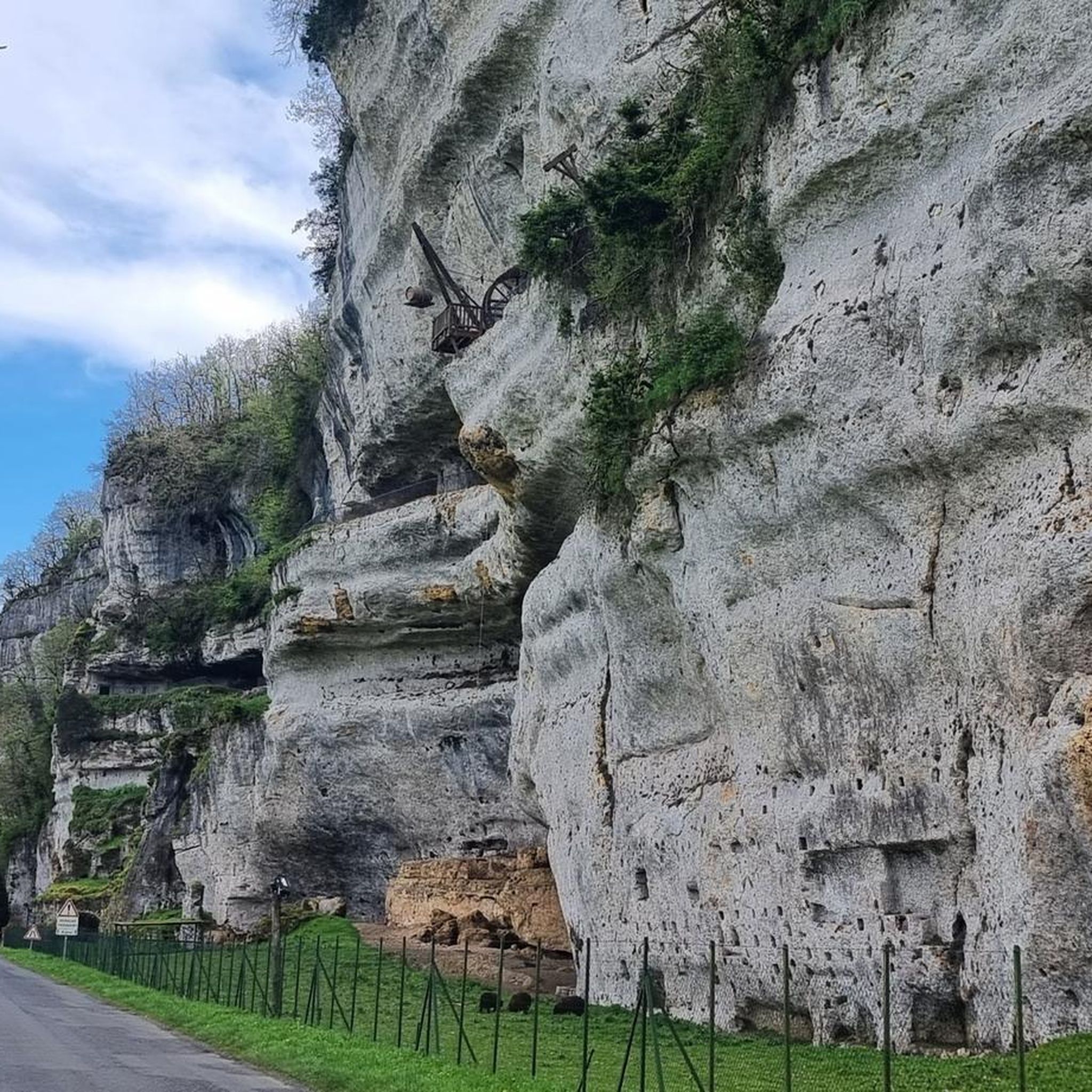
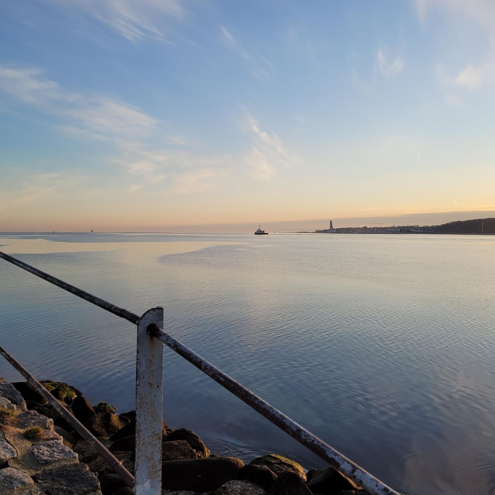

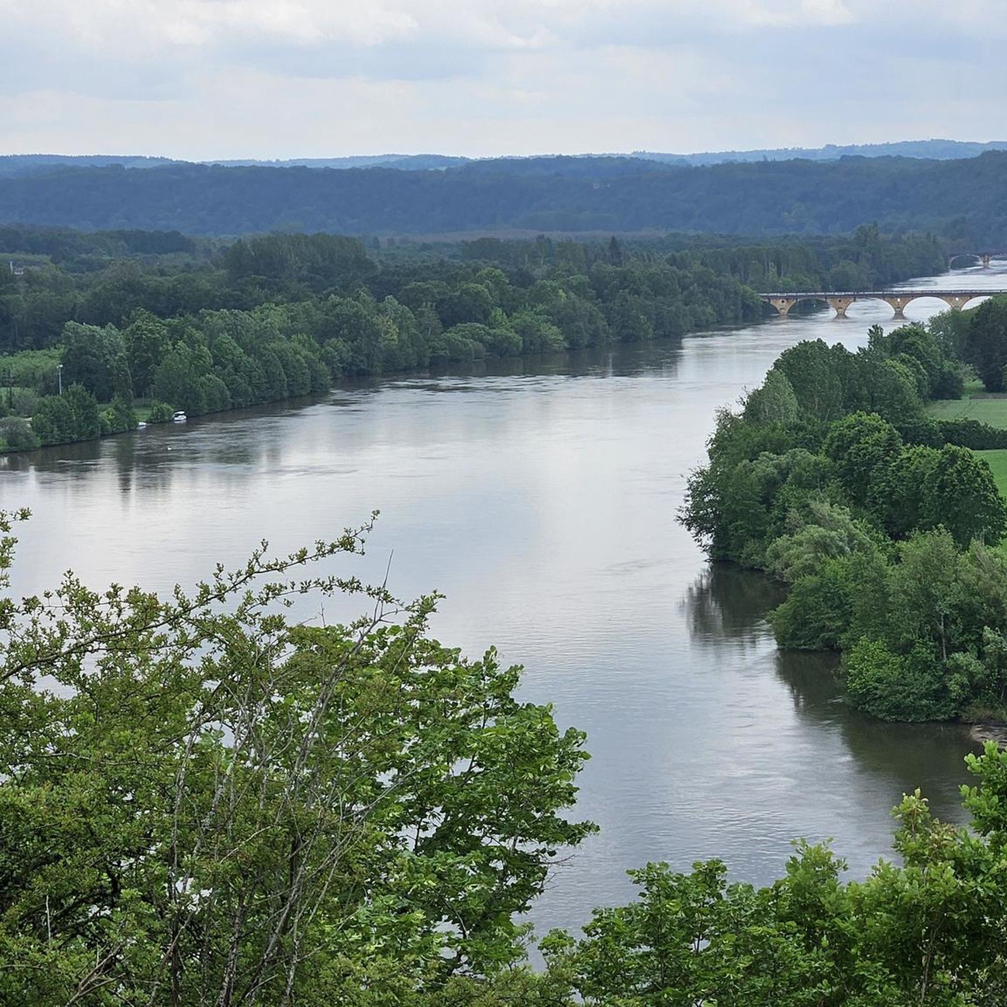

Tips from the Community

Small campsite in the middle of nature.
0
0
Frequently Asked Questions
How many hiking trails are available in Saint-Maime-De-Péreyrol?
There are nearly 30 hiking trails around Saint-Maime-De-Péreyrol, offering a variety of options for different skill levels. You'll find a good mix of easy and moderate routes to explore the local countryside.
Are there easy hiking trails suitable for beginners in Saint-Maime-De-Péreyrol?
Yes, Saint-Maime-De-Péreyrol offers 14 easy hiking trails perfect for beginners or those looking for a relaxed walk. An example is the La Brugère Campsite loop from Clermont-de-Beauregard, which is just under 6 km and takes about 1 hour 30 minutes.
Are there family-friendly hiking options in Saint-Maime-De-Péreyrol?
Many of the easy trails are suitable for families, especially those with younger children. These routes typically feature gentle terrain and shorter distances, allowing everyone to enjoy the rural landscapes. Look for trails marked as 'easy' on komoot.
Can I bring my dog on the hiking trails around Saint-Maime-De-Péreyrol?
Yes, most hiking trails in the Saint-Maime-De-Péreyrol area are dog-friendly. However, it's always recommended to keep your dog on a leash, especially when passing through agricultural fields or near livestock, and to respect local regulations.
Are there many circular walking routes in the area?
Yes, the region around Saint-Maime-De-Péreyrol features numerous circular walking routes, making it convenient to start and end your hike at the same point. For instance, the La Gaubertie Castle loop from Saint-Martin-des-Combes is a moderate 13.3 km circular trail.
Is parking available at the trailheads in Saint-Maime-De-Péreyrol?
In this rural area, parking is generally available near trailheads, often in small village squares or designated parking areas. For specific routes, it's advisable to check the tour details on komoot for information on starting points and parking suggestions.
What is the best time of year to go hiking in Saint-Maime-De-Péreyrol?
The best time for hiking in Saint-Maime-De-Péreyrol is typically from spring to autumn. Spring offers lush greenery and wildflowers, while autumn provides pleasant temperatures and beautiful fall foliage. Summers can be warm, so early morning or late afternoon hikes are recommended.
What kind of scenery or points of interest can I expect to see on the trails?
The trails in Saint-Maime-De-Péreyrol wind through the characteristic Dordogne landscape of rolling hills, agricultural fields, and scattered woodlands. You'll often pass by quiet hamlets, local streams, and may catch glimpses of traditional Périgordian architecture.
Are there longer or more challenging hikes for experienced walkers?
Yes, for experienced walkers, there are 14 moderate trails and one difficult route. These longer hikes offer more elevation gain and cover greater distances, allowing for a more strenuous outing. An example is the Camping Rene and Lieke – La Brugère Campsite loop from La Brugère, a moderate 14.1 km trail.
What do other hikers enjoy the most about hiking in Saint-Maime-De-Péreyrol?
The area is highly rated by the komoot community, with an average score of 4.3 stars. Reviewers often praise the peaceful rural settings, the well-maintained paths, and the opportunity to experience the authentic Dordogne countryside away from more crowded tourist spots.
Are there any trails that pass by water features or offer wild swimming opportunities?
While the trails often follow local streams, Saint-Maime-De-Péreyrol is more known for its agricultural and woodland landscapes rather than prominent water features or designated wild swimming spots directly on the hiking routes. For swimming, you might need to explore nearby rivers or lakes in the wider Dordogne region.
Most popular routes around Saint-Maime-De-Péreyrol

Get inspired with the komoot mobile app


Explore more
Browse the best Hikes in other regions.
