The best walks and hikes around Hombleux
4.7
(20)
95
hikers
26
hikes
Hiking around Hombleux offers access to a network of trails through the gently rolling landscapes of the region. The terrain is characterized by agricultural fields, small woodlands, and quiet paths, with minimal elevation changes. This area provides opportunities for easy walks and moderate hikes suitable for exploring the local countryside. The routes often connect small villages and offer glimpses of rural life.
Best hiking trails around Hombleux
- The most popular hiking route is Hiking loop from Pargny, a 7.0…
Last updated: July 8, 2026
4.8
(4)
11
hikers
11.5km
02:56
40m
40m
Moderate hike. Good fitness required. Easily-accessible paths. Suitable for all skill levels.
4.5
(2)
8
hikers
8.19km
02:06
30m
30m
Moderate hike. Good fitness required. Easily-accessible paths. Suitable for all skill levels.

Sign up for free
5.0
(1)
4
hikers
4.56km
01:10
20m
20m
Easy hike. Great for any fitness level. Easily-accessible paths. Suitable for all skill levels.
5.0
(1)
5
hikers
6.97km
01:46
20m
20m
Easy hike. Great for any fitness level. Easily-accessible paths. Suitable for all skill levels.
4
hikers
5.15km
01:19
20m
20m
Easy hike. Great for any fitness level. Easily-accessible paths. Suitable for all skill levels.
Get access to more routes and recommendations from other explorers.
Sign up for free
Already have an account?
Our route recommendations are based on thousands of hikes, rides, and runs completed by other people on komoot.
Start today with a free account
Your next adventure awaits.
Login or Signup


Tips from the Community


Whether on the Somme or on the canals: driving on the water is always pleasant. Water-rich area...
1
0

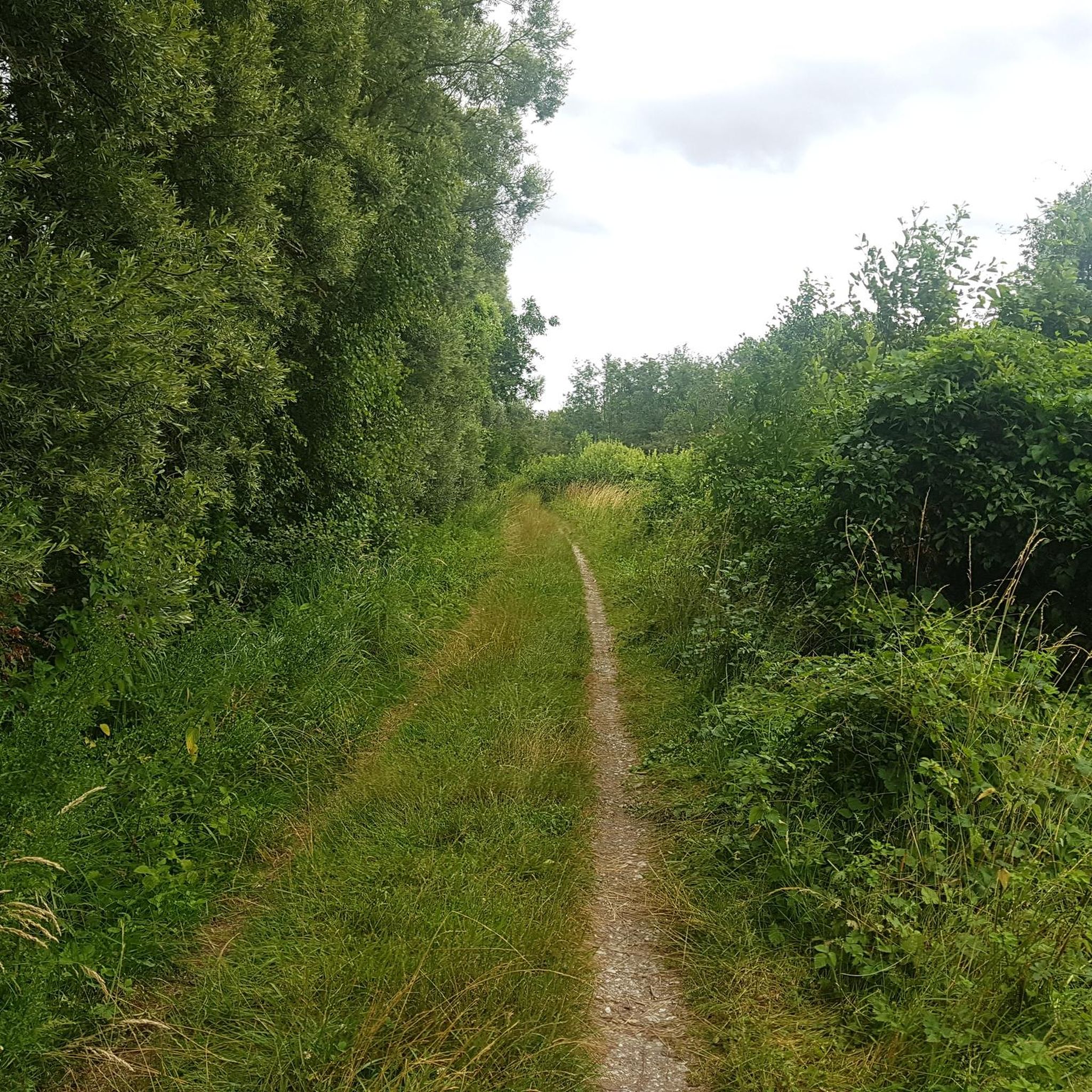
The creation of this cycle route is quite recent. The bitumen coating dates from 2019. Until that date, to make these 200 kilometers of journey, it was largely necessary to travel them on towpaths along the river. This allows for greater accessibility.
4
0

More exactly the only remaining tower of the castle.
0
0
Frequently Asked Questions
How many hiking trails are available around Hombleux?
There are nearly 30 hiking trails in the Hombleux area, offering a variety of options for exploring the local countryside. These routes range from easy strolls through agricultural fields to moderate excursions winding through small woodlands and quiet villages.
Are there easy hiking trails suitable for families in Hombleux?
Yes, Hombleux is well-suited for family-friendly walks due to its gently rolling terrain and minimal elevation changes. Many of the 16 easy routes are perfect for all ages. An example is the Hiking loop from Épénancourt, an easy 4.7 km path offering pleasant views of local farmlands.
Can I bring my dog on the hiking trails in Hombleux?
Most hiking trails in the Hombleux region are dog-friendly, allowing you to enjoy the rural landscapes with your canine companion. It's always recommended to keep dogs on a leash, especially when passing through agricultural areas or near livestock, and to respect local regulations.
What is the typical length and duration of hikes around Hombleux?
Hikes around Hombleux vary in length, with many routes being between 4 to 12 kilometers. For instance, the Mont Alimont loop from Brouchy is an easy 7 km trail, while the moderate Étang Savary loop from Sancourt extends to 12.6 km, taking around 3 hours and 15 minutes to complete.
Are there circular walking routes available in Hombleux?
Yes, many of the trails around Hombleux are designed as circular routes, allowing you to start and end your hike in the same location. This makes planning your day easier, especially if you're driving. The Hiking loop from Pargny is a popular moderate circular route covering 11.3 km.
What kind of natural scenery can I expect to see while hiking in Hombleux?
The natural scenery around Hombleux is characterized by its tranquil, gently rolling landscapes. You'll primarily encounter vast agricultural fields, interspersed with small, peaceful woodlands and quiet paths connecting charming rural villages. The region offers a serene environment for nature lovers.
Are there any historical landmarks or points of interest along the trails?
Yes, the region offers some interesting points. For example, the Ham Castle – Tower of the Château de Ham loop from Ham explores historical sites. Additionally, you might encounter highlights like the Souterrain de la Panneterie or the Cargo ship loading station at Quiquery, which offer glimpses into the area's past and industrial heritage.
What do other hikers enjoy most about the trails in Hombleux?
The trails in Hombleux are highly rated by the komoot community, with an average score of 4.75 stars from nearly 20 reviews. Hikers often praise the peaceful rural atmosphere, the well-maintained paths, and the opportunity to experience authentic French countryside away from crowded tourist spots. The minimal elevation changes also make it enjoyable for a relaxed outing.
Is there parking available near the trailheads in Hombleux?
While specific parking information for every trailhead isn't always detailed, most villages and starting points for hikes in rural areas like Hombleux typically offer public parking options. It's advisable to check the starting point of your chosen route on komoot for more precise parking details or look for designated parking areas within the nearby villages.
What is the best time of year to go hiking in Hombleux?
The best time to hike in Hombleux is generally from spring through autumn (April to October). During these months, the weather is mild and pleasant, and the agricultural fields are vibrant. Spring brings blooming wildflowers, while autumn offers beautiful colors. Winter hiking is possible, but paths might be muddy, and services in smaller villages could be limited.
Are there any accessible walks for people with limited mobility?
Given the gently rolling terrain and minimal elevation changes, some of the easier routes around Hombleux may be suitable for individuals with limited mobility, especially those using sturdy all-terrain wheelchairs or strollers. However, specific accessibility features like paved paths or ramps are not universally guaranteed. It's best to check individual route descriptions for surface details.
Can I find cafes or places to eat near the hiking trails?
Hombleux and the surrounding small villages offer local amenities, including cafes or small eateries, particularly in the larger settlements that serve as starting points for some routes. It's a good idea to pack some snacks and water, especially for longer hikes, as services might not be directly on the trail. You might find places like Pizza Tasty in a nearby town.
Most popular attractions around Hombleux

Get inspired with the komoot mobile app


Explore more
Browse the best Hikes in other regions.
