The best waterfall hikes and walks in Vercelli
4.4
(13568)
72,261
hikers
52
hikes
Waterfall hiking trails in Vercelli traverse a diverse landscape, transitioning from the flat expanse of rice paddies to the rugged alpine terrain of the Monte Rosa massif. The region features numerous natural reserves, including the Riserva Naturale Speciale della Baraggia di Bellinzago and the Parco Naturale della Valle del Ticino, which protect varied ecosystems. Hikers encounter high-altitude valleys, crystal-clear rivers, and pre-Alpine environments, offering a range of experiences from gentle riverside walks to challenging mountain ascents. The terrain includes significant…
Last updated: July 7, 2026
4.5
(65)
462
hikers
5.91km
02:11
310m
310m
Embark on the All Cascate dell'Acqua Bianca loop tour, a moderate hike through Italy's Alta Valsesia Nature Park. This route spans 3.7 miles (5.9 km) with an elevation gain of…
4.7
(64)
250
hikers
6.39km
03:20
570m
570m
The Val d'Otro Walser Villages Loop offers a moderate hiking experience, guiding you from Alagna Valsesia through varied landscapes. You will start on paved paths and stone steps, soon transitioning…

Sign up for free
4.6
(43)
338
hikers
10.5km
04:43
820m
820m
Embark on Trail 207 to Rifugio Barba Ferrero, a moderate hike that takes you through varied alpine terrain. You will cover 6.5 miles (10.5 km) and gain 2704 feet (824…
4.7
(71)
403
hikers
13.2km
05:16
740m
740m
Embark on a difficult 8.2-mile (13.2 km) hike to Alpe Peccia and Alpe Larecchio, gaining 2434 feet (742 metres) in elevation over approximately 5 hours and 15 minutes. You will…
4.6
(67)
294
hikers
9.60km
04:28
650m
650m
Embark on the GTA: Rimella - Alpe Baranca Trail, a moderate hike spanning 6.0 miles (9.6 km) with a significant elevation gain of 2141 feet (653 metres). This route takes…
Get access to more routes and recommendations from other explorers.
Sign up for free
Already have an account?
Our route recommendations are based on thousands of hikes, rides, and runs completed by other people on komoot.
Start today with a free account
Your next adventure awaits.
Login or Signup
Popular around Vercelli
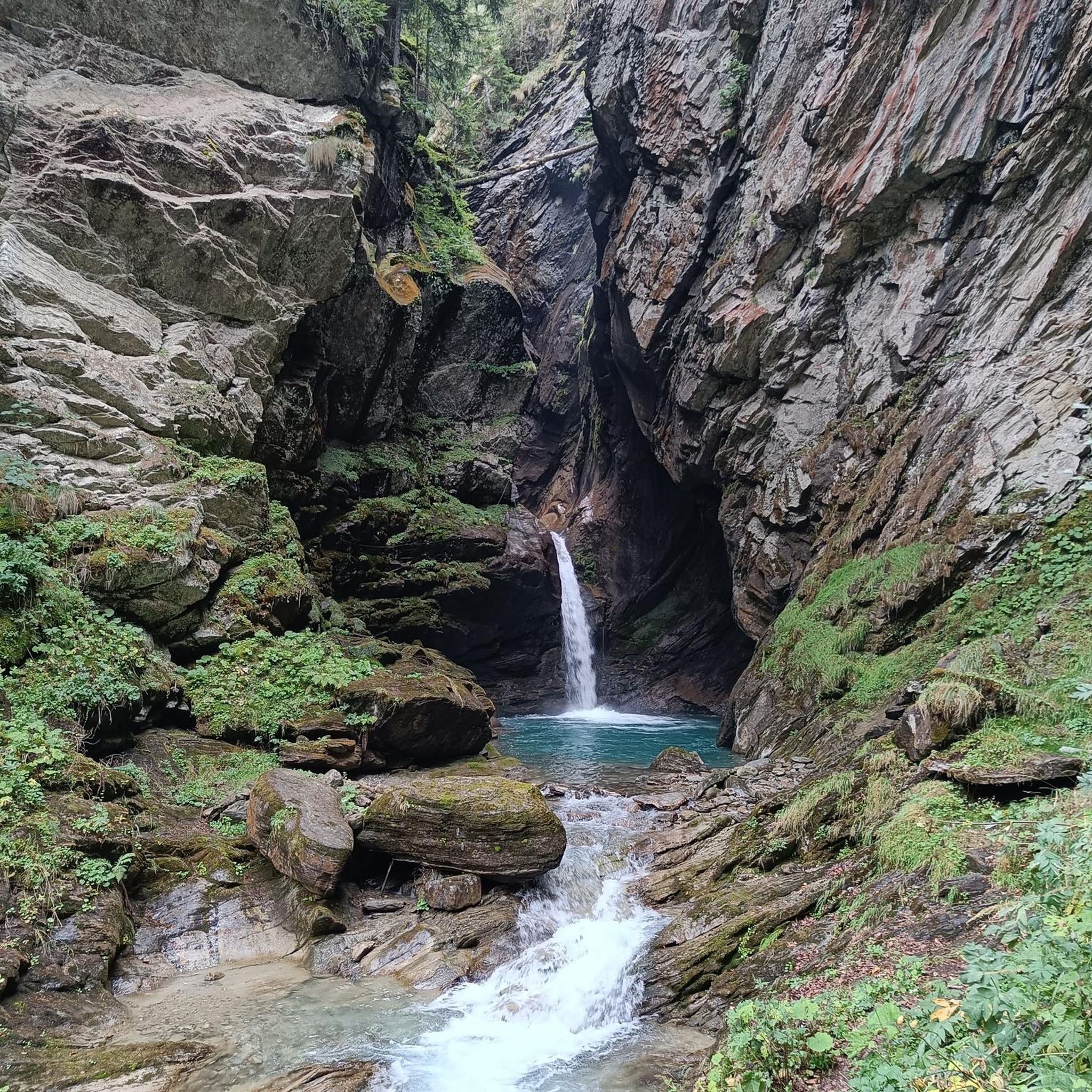
Waterfall hikes around Campertogno
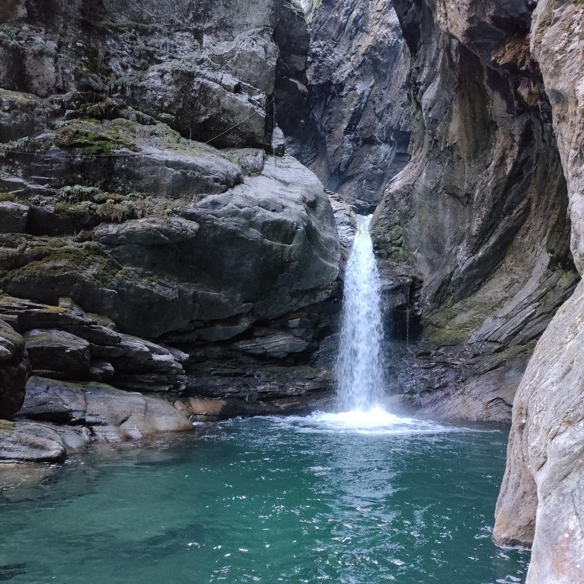
Waterfall hikes around Alagna Valsesia
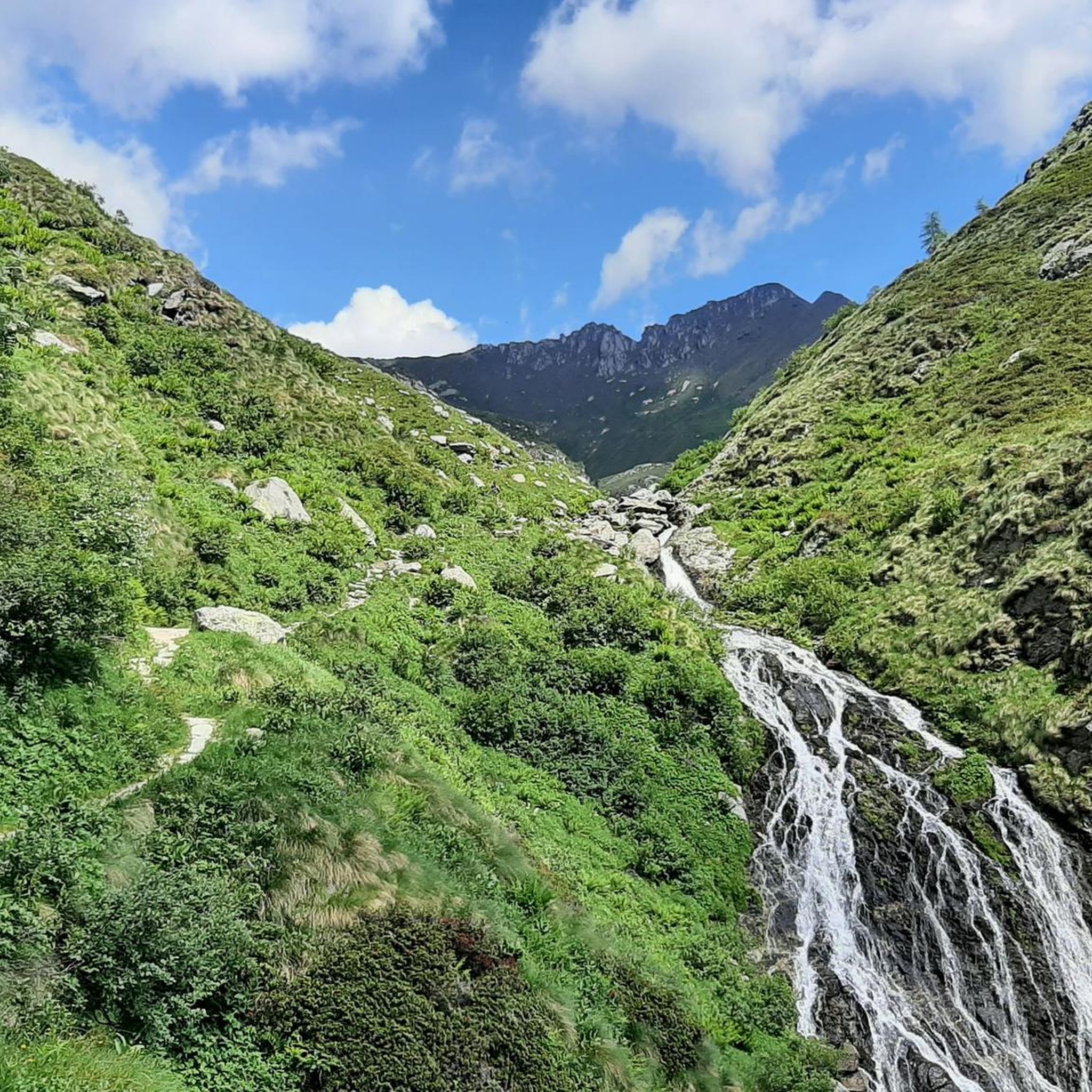
Waterfall hikes around Rimasco

Waterfall hikes in Parco Regionale Dell'Alta Valsesia E Alta Val Strona
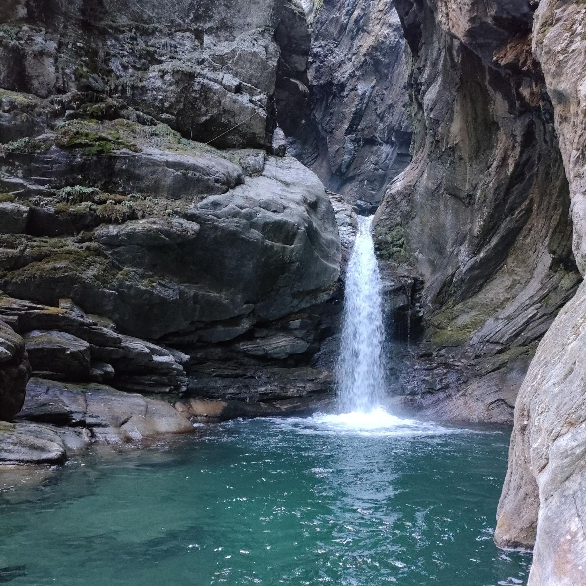
Waterfall hikes around Mollia
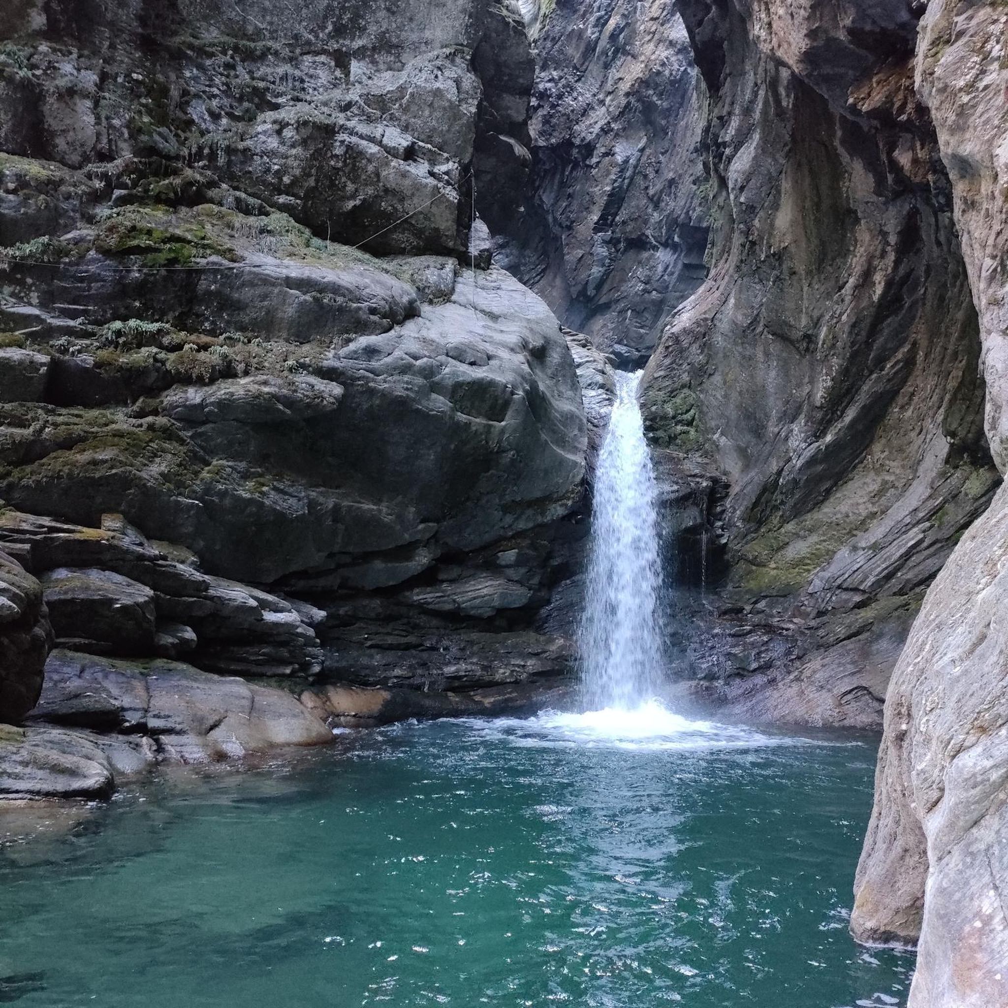
Waterfall hikes around Boccioleto
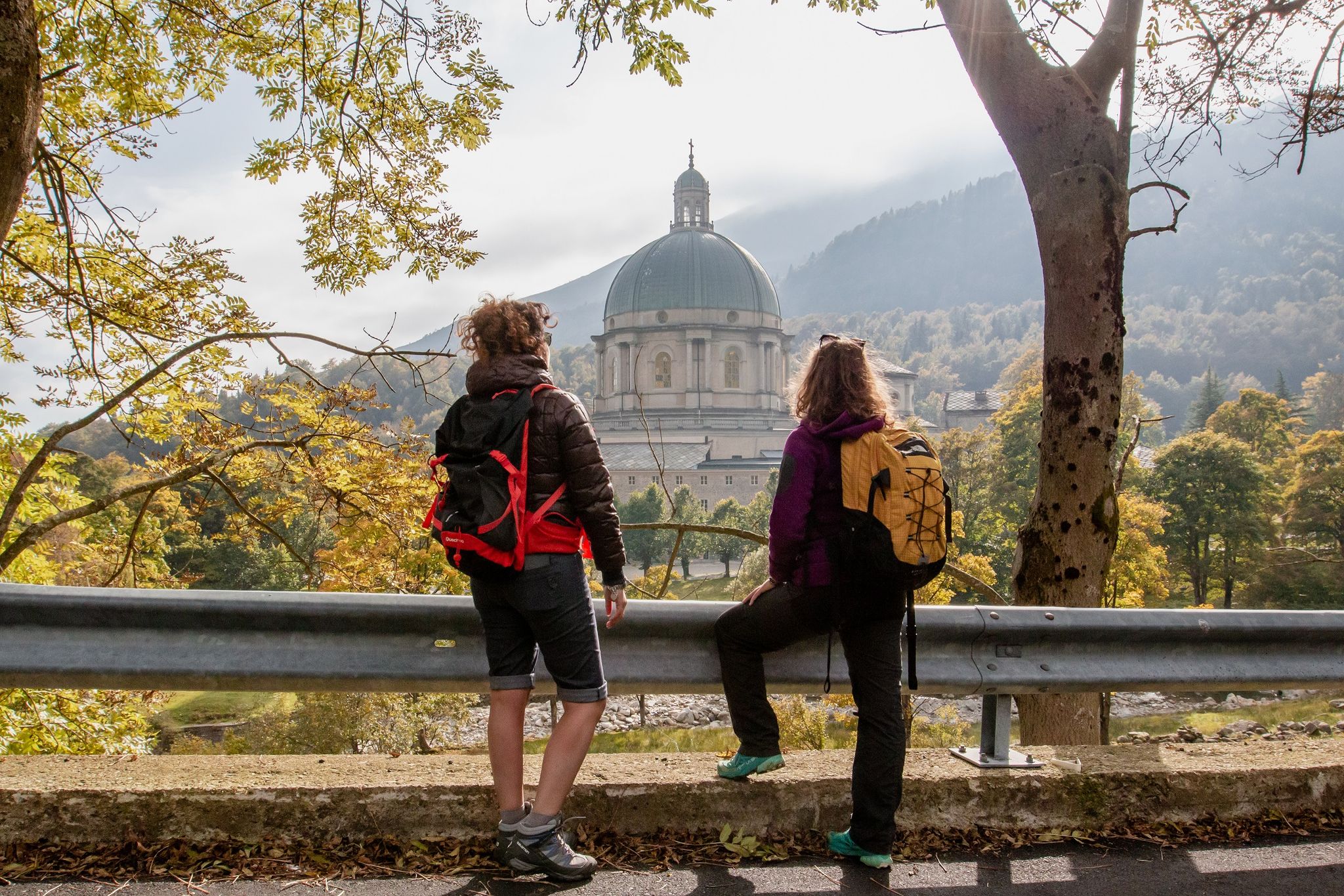
Cammino di Oropa della Serra — Hiking to one of Italy's Holy Mountains

GTA North Piedmont – Among ancient Walser settlements
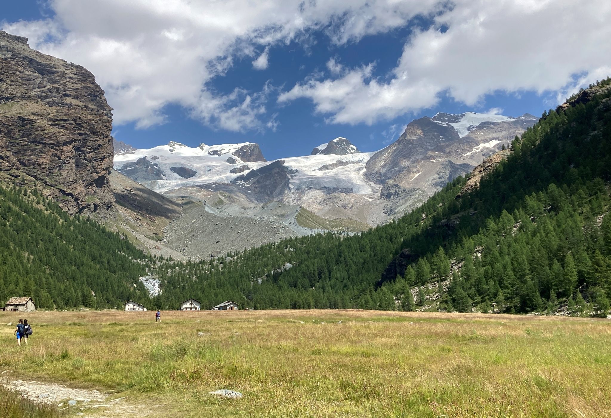
Tour of Monte Rosa – a trek among the Giants between Italy and Switzerland
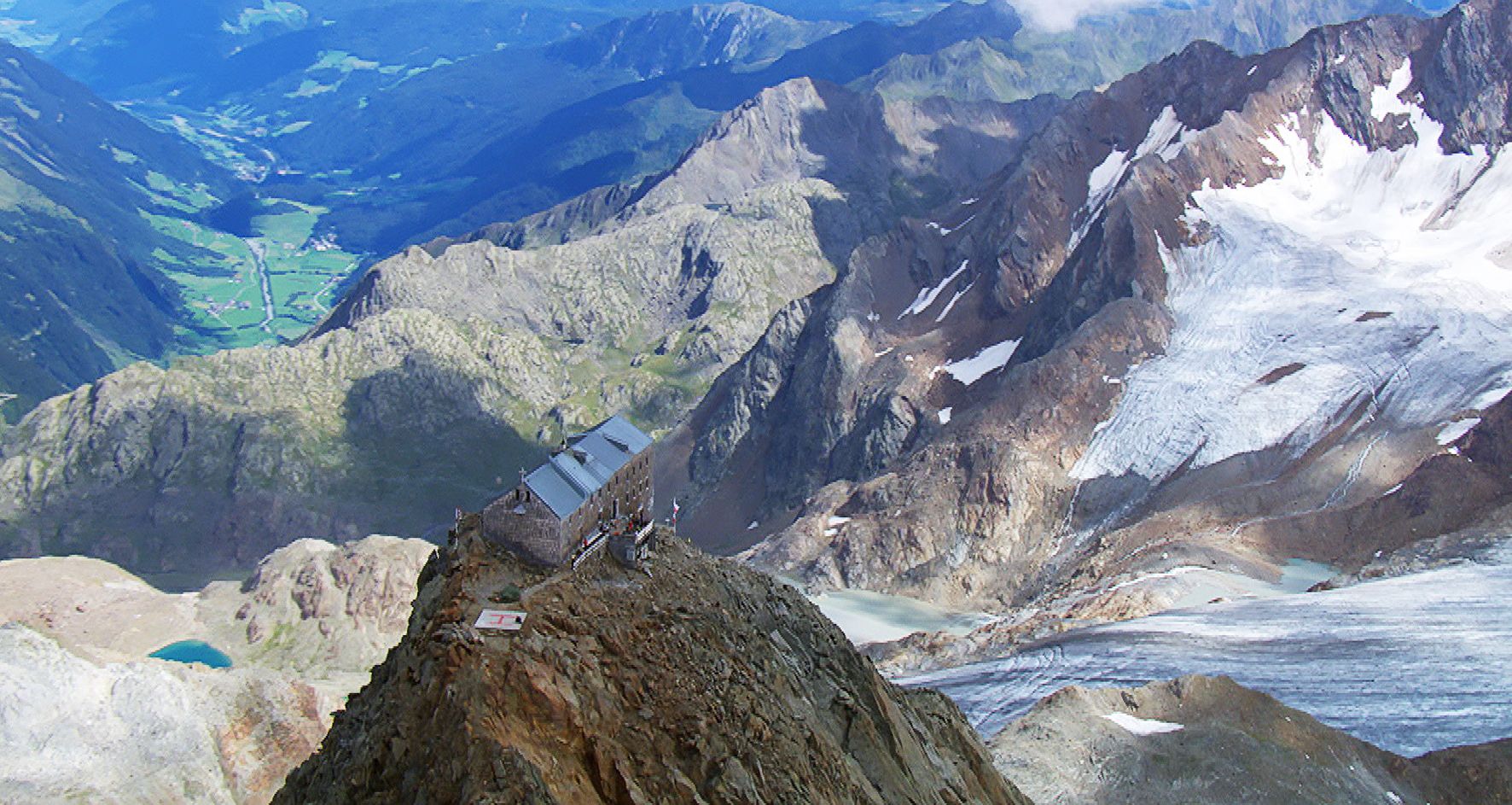
Sleep above 3000 meters
Other adventures in Vercelli


Tips from the Community

bridge towards Alpe Pile
0
1
clearly visible from the square of the same name at the end of Via Miniere
0
1
here the Sesia wedges itself into the meanders and then falls into the "boilers".
0
0
wooden bridge over the Sesia boilers
0
0

One of the refuges where I've eaten the best, the food is truly excellent. If you're passing through, I highly recommend stopping for a bite to eat. It's in a great location beneath Monte Rosa; you can see the Margherita hut through a telescope, and they also have tent sites for sleeping.
0
0

Beautiful viewpoint on the southern side of Monterosa, its peaks and glaciers
0
0


Beautiful side valley that branches off from Alagna. Far from the ski industry, it preserves ancient Walser settlements. The village of Follu is beautiful, where the beautiful Zar Senni refuge is located. The Val d'Orto joins the Val d'Olen at the superb and severe Foric pass (2,432 m).
4
1
Frequently Asked Questions
How many waterfall hiking trails are available in Vercelli?
Vercelli offers a diverse selection of over 40 hiking trails that feature waterfalls, catering to various skill levels. You'll find a mix of easy, moderate, and challenging routes, with 2 easy, 21 moderate, and 20 difficult options to explore.
What kind of terrain can I expect on waterfall hikes in Vercelli?
The terrain varies significantly across Vercelli. While some areas feature gentle paths through pre-Alpine environments, many waterfall hikes, especially in the northern Valsesia region, involve rugged alpine terrain with considerable elevation changes. You might encounter trails leading through historic Walser hamlets or ascending towards high-altitude refuges.
When is the best time of year to go waterfall hiking in Vercelli?
The best time to visit depends on the specific trail. Spring (April-May) is excellent for seeing waterfalls at their fullest due to snowmelt, and the rice paddies are beautifully flooded. Summer offers pleasant conditions for higher alpine routes, while autumn provides stunning foliage. Always check local conditions, especially for higher elevation trails, as they can be affected by snow well into late spring.
Are there family-friendly waterfall hikes in Vercelli?
Yes, Vercelli has a few easier trails suitable for families. These routes typically have less elevation gain and shorter distances. For instance, the All Cascate dell'Acqua Bianca − loop tour is a moderate 3.7-mile (5.9 km) option that features scenic views of the waterfall and is often manageable for families with older children.
Can I bring my dog on waterfall hikes in Vercelli?
Many trails in Vercelli are dog-friendly, especially in the natural parks and rural areas. However, it's always best to keep your dog on a leash, particularly in protected areas or near livestock, and to check specific trail regulations before you go. Remember to carry water for your pet and clean up after them.
Are there circular waterfall hiking routes in Vercelli?
Yes, several circular routes allow you to start and end at the same point. A popular choice is the All Cascate dell'Acqua Bianca − loop tour, which offers a moderate 3.7-mile (5.9 km) circuit around the Cascate dell'Acqua Bianca. Another option is the Val d'Otro Walser Villages Loop, a 4.0-mile (6.4 km) path that combines waterfalls with cultural exploration.
What natural features or landmarks can I see on waterfall hikes in Vercelli?
Beyond the waterfalls themselves, Vercelli's diverse landscape offers much to see. You can encounter historic Walser hamlets in valleys like Val d'Otro, explore the unique rice paddies, or witness the dramatic alpine scenery of the Monte Rosa massif. Specific waterfalls to look out for include the Acqua Bianca Waterfall, Rio Passone Waterfalls, and Otro Waterfall.
Are there any challenging waterfall hikes for experienced trekkers?
Absolutely. For experienced hikers, the northern parts of Vercelli, particularly in Valsesia, offer demanding alpine treks. Routes like the Trail 207 to Rifugio Barba Ferrero, a 6.5-mile (10.5 km) trail with significant elevation gain, lead through rugged alpine terrain. Another challenging option is the Alpe Peccia and Alpe Larecchio route, which is 8.2 miles (13.2 km) long and considered difficult.
What do other hikers enjoy most about waterfall hiking in Vercelli?
The komoot community highly rates the trails in Vercelli, with an average score of 4.5 stars from over 2,800 reviews. Hikers often praise the region's remarkable blend of agricultural heritage and diverse natural environments, from flat plains to high Alps, and the rich cultural experience offered by routes through historic villages.
Are there places to eat or stay near the waterfall hiking trails?
Yes, especially in the more populated valleys and near popular trailheads. You can find cafes, restaurants, and accommodation options in towns and villages throughout Valsesia and other areas close to the trails. For specific routes, it's advisable to check local amenities in advance, particularly for more remote alpine treks where options might be limited to mountain refuges.
Is public transport available to reach waterfall hiking trailheads in Vercelli?
Public transport options exist, primarily bus services connecting major towns in the Vercelli province. However, access to more remote trailheads, especially those deep in the alpine valleys, might be limited. It's recommended to research specific bus routes and schedules for your chosen trailhead or consider carpooling for greater flexibility. For general information on the region, you can visit visitvalsesiavercelli.it.
Are there any permits required for hiking in Vercelli's natural areas?
Generally, no specific permits are required for day hiking on established trails in Vercelli's natural parks or alpine areas. However, if you plan to stay overnight in mountain refuges, reservations are often necessary, especially during peak season. Always respect local regulations, especially concerning protected areas and private land.
Most popular routes in Vercelli
Most popular attractions in Vercelli

Get inspired with the komoot mobile app


Didn’t find what you were looking for?
Check out more Hikes throughout Vercelli below and find the perfect route in your destination.
Explore more
Browse the best Hikes in other regions.
