The best waterfall hikes and walks around Sur Occidental
4.5
(2248)
12,275
hikers
5
hikes
Waterfall hiking trails around Sur Occidental are characterized by a landscape featuring hills, dense woodlands, and prominent water features that feed the region's cascades. The terrain often includes varied elevations, leading hikers through natural environments where streams and rivers create numerous waterfalls. This area provides a natural setting for exploring the interplay of water and rock formations.
Best waterfall hiking trails around Sur Occidental
- The most popular waterfall hiking route is Cascada del Hornillo — circular desde Robledondo, a 5.6 miles (9.1 km) trail that takes about 2 hours 50 minutes to complete. This circular path offers views of the Hornillo Waterfall within a forested setting.
- Another top favourite among local hikers is Hornillo Waterfall and Monte Abantos Loop, a moderate 7.8 miles (12.5 km) path. This route combines the Hornillo Waterfall with the higher elevations and panoramic views from Monte Abantos.
- Local hikers also love the Covacho Waterfall loop from Collado Villalba, a 6.0 miles (9.7 km) trail leading through forested hills, often completed in about 2 hours 45 minutes.
- Hiking around Sur Occidental is defined by its waterfalls, forested hills, and varied elevations. The network offers options for different ability levels, though all listed waterfall trails are moderate.
- The routes in Sur Occidental are highly rated by the komoot community with an average score of 4.4 stars from over 580 reviews. More than 3500 hikers have used komoot to explore Sur Occidental's varied terrain.
Last updated: July 10, 2026
3.9
(12)
30
hikers
9.08km
02:52
310m
310m
Moderate hike. Good fitness required. Mostly accessible paths. Sure-footedness required.
12.5km
04:19
540m
540m
Moderate hike. Good fitness required. Mostly accessible paths. Sure-footedness required.

Sign up for free
4.7
(6)
63
hikers
9.71km
02:47
210m
210m
Moderate hike. Good fitness required. Mostly accessible paths. Sure-footedness required.
4.8
(9)
60
hikers
15.3km
04:43
520m
520m
Moderate hike. Good fitness required. Mostly accessible paths. Sure-footedness required.
4.5
(2)
30
hikers
13.1km
03:48
340m
340m
Moderate hike. Good fitness required. Mostly accessible paths. Sure-footedness required.
Our route recommendations are based on thousands of hikes, rides, and runs completed by other people on komoot.
Start today with a free account
Your next adventure awaits.
Login or Signup
Popular around Sur Occidental

Waterfall hikes around Pantano de Valmayor
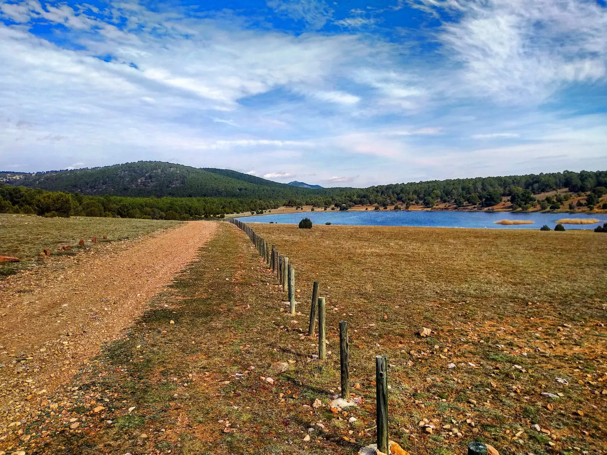
Sendero Español GR 10 — De este a oeste
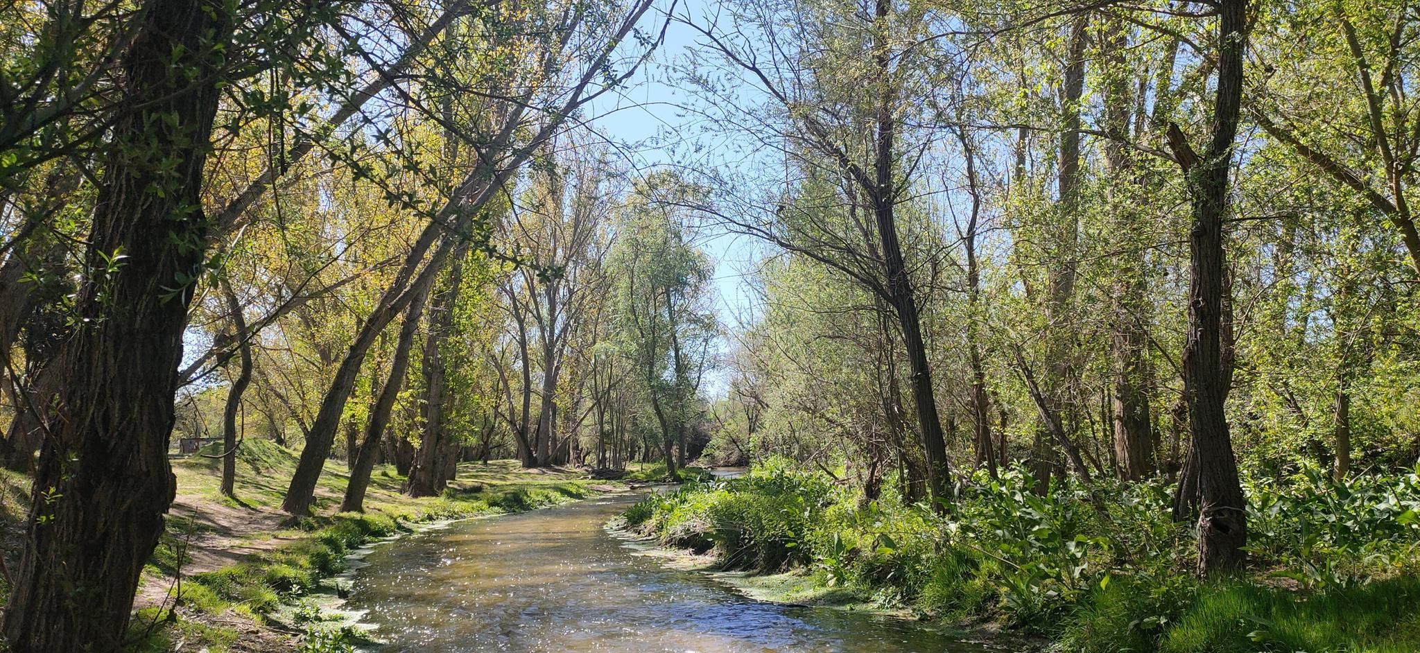
Hidden treasures in the river – hike along Spain’s Guadarrama River

The treasures of Guadarrama – on foot along the GR 10 in Madrid
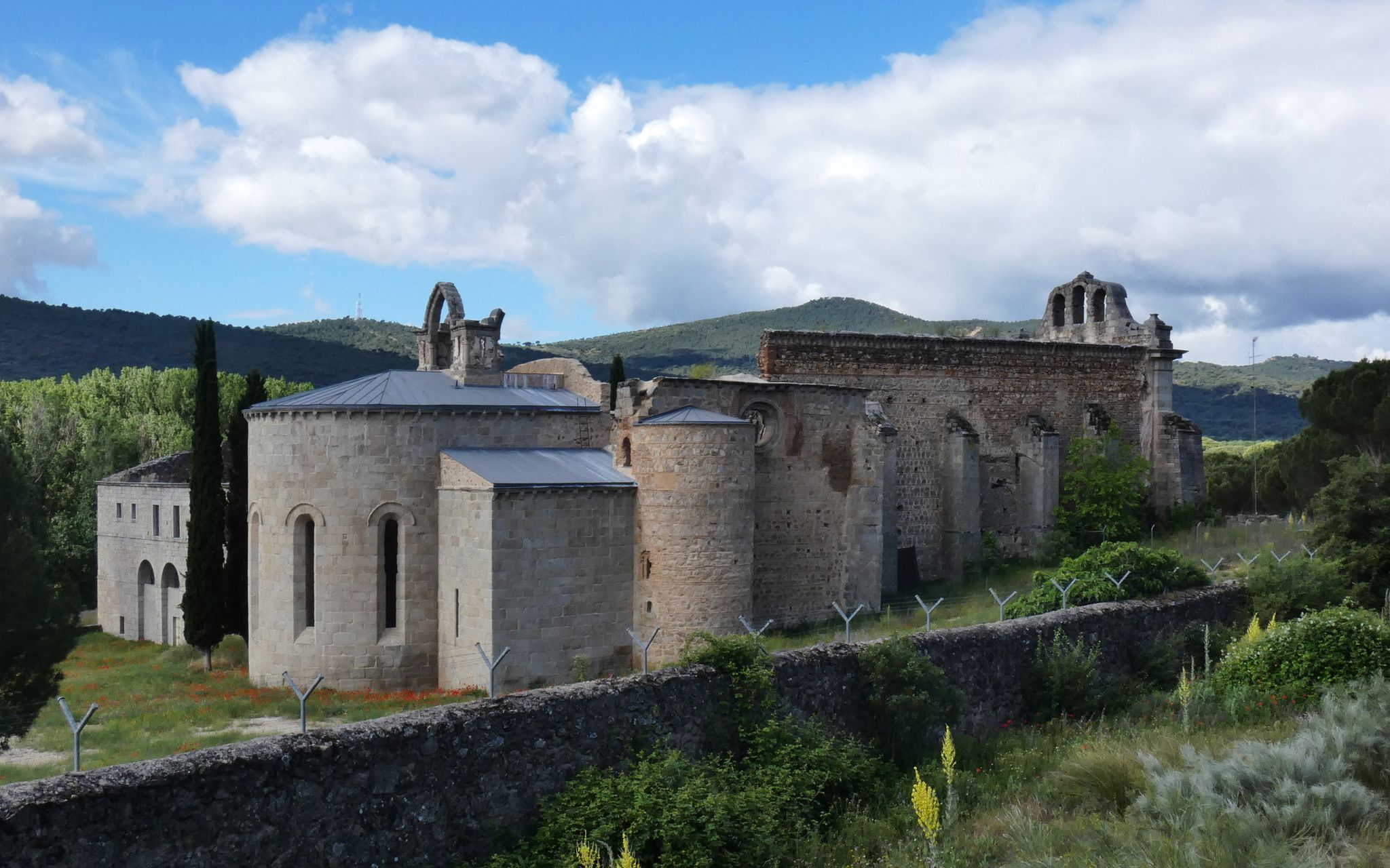
Madrid’s mediaeval castles and hidden gems by gravel bike

Ports, countryside and rivers – Tour of Madrid by road bike
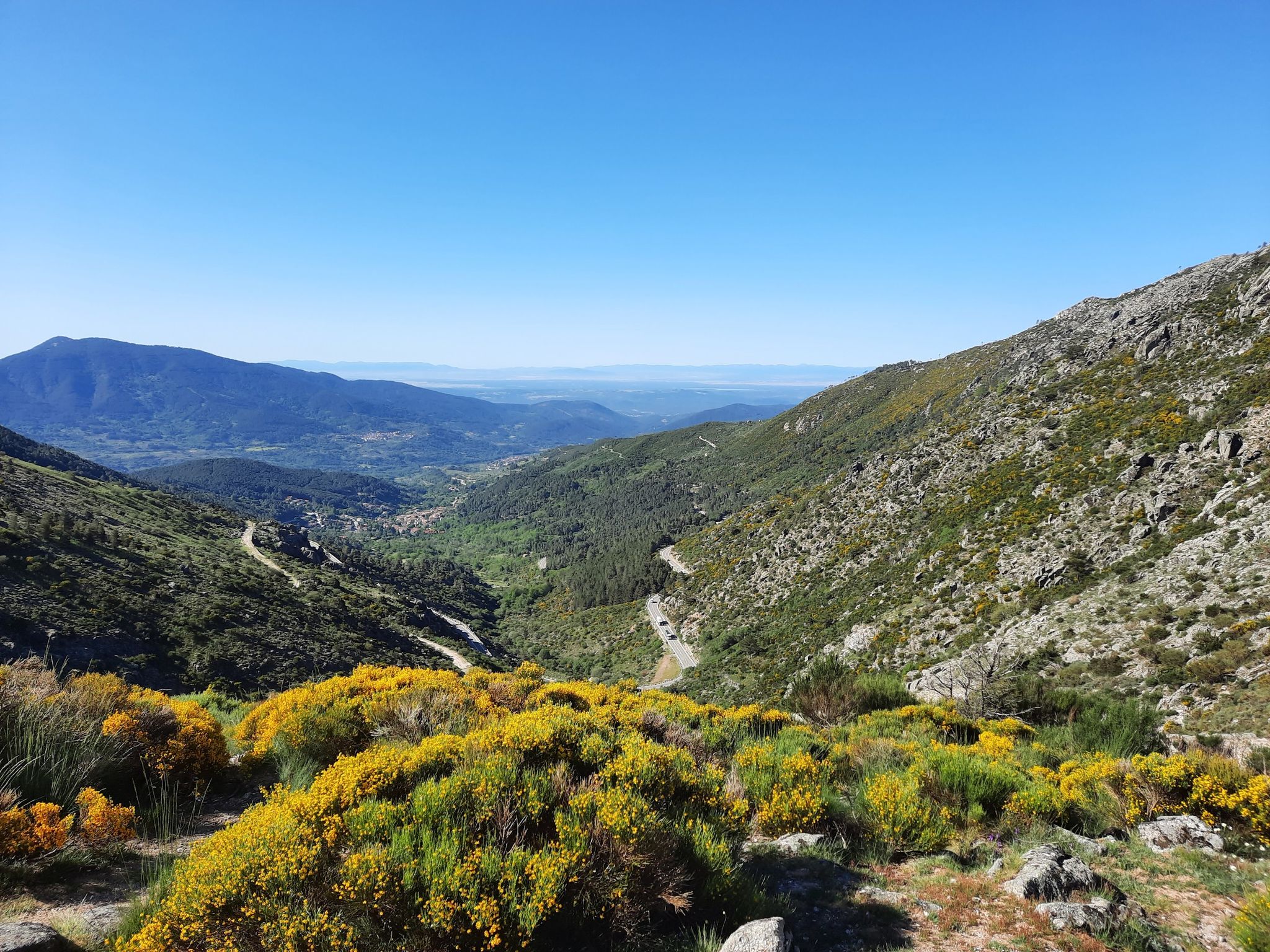
Ávila in Spain – Tour of Gredos by MTB
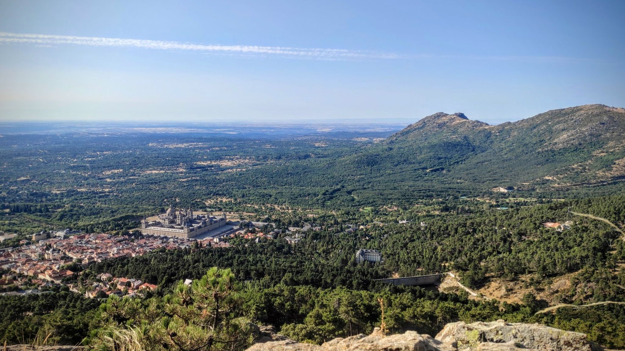
Sierras, countryside, reservoirs and history – Tour of Madrid gravel
Other adventures around Sur Occidental


Tips from the Community

The hiking route to the Covacho Waterfall is suitable for everyone and offers great scenic beauty. Although when you arrive, the waterfall is not at its maximum splendor, the best time to visit it is usually in spring, after the snow thaws.
1
0

Ideal place to enjoy the surroundings! Fresh and pure water!
0
0

The Covacho Waterfall, also known as Chorrera del Covacho, is a beautiful waterfall produced by the waters of the Arroyo de Peña Herrera, we also enjoy the Cuchillar and Peregrinos Streams, the majestic Sierra de Hoyo with views of the Covacho Hills and Lechuza and to the hills of Cuchillar and Peñaliendre, and we will travel through forests made up of oaks, pines, ashes, poplars, elms, acacias, rose bushes, blackberries, junipers and cistus.
0
0
Sierra de Hoyo de Manzanares waterfall that is accessed through fun trails. It usually carries a lot of water, although it usually wades well.
1
0
The port of Malagón, also known as Alto de Abantos or Puerto de San Juan de Malagón, is a mountain pass located in the southwest area of the Sierra de Guadarrama. It has an altitude of 1590 meters and separates the Spanish provinces of Madrid and Ávila.
0
0

Beautiful waterfall that, although it can be avoided, is always nice to see its waters fall from the highest parts of the Sierra on its southern side. When it's hot, a great place to cool off.
1
1

Legendary peak that not only has magnificent views but also plays a great role in the history of sports in Spain.
0
0

The port of Malagón, also known as Alto de Abantos or Puerto de San Juan de Malagón, is a mountain pass located in the southwest area of the Sierra de Guadarrama (mountain belonging to the Central System). It has an altitude of 1590 meters and separates the Spanish provinces of Madrid and Ávila. The regional road that crosses it connects the municipalities of San Lorenzo de El Escorial (Madrid) and Peguerinos (Ávila). To the west of the port extends the Malagón mountain range, which gives it its name. The mountain pass is located on the southern slope of Mount Abantos, which is why it constitutes the starting point of a path that leads to the top of said mountain.
0
0
Frequently Asked Questions
How many waterfall hiking trails are available in Sur Occidental?
There are currently 5 dedicated waterfall hiking trails around Sur Occidental, all of which are rated as moderate difficulty. These routes offer diverse experiences, from forested loops to trails combining waterfalls with higher elevations.
Are there any easy waterfall hikes for beginners in Sur Occidental?
While all the listed waterfall trails in Sur Occidental are categorized as moderate, many are accessible for those with a reasonable fitness level. For example, the Cascada del Hornillo — circular desde Robledondo is a 5.6-mile (9.1 km) loop that takes about 2 hours 50 minutes, offering a rewarding experience without extreme challenges.
What is the best time of year to go waterfall hiking in Sur Occidental?
The best time for waterfall hiking in Sur Occidental is typically during spring (March to May) when snowmelt and seasonal rains ensure the waterfalls are at their most impressive. Autumn (September to November) also offers pleasant hiking conditions with vibrant foliage, though water levels might be lower.
Are there any circular waterfall routes in Sur Occidental?
Yes, several waterfall hikes in Sur Occidental are circular, allowing you to start and end at the same point. A popular option is the Covacho Waterfall loop from Collado Villalba, a 6.0-mile (9.7 km) trail through forested hills.
What can I see along the waterfall hiking trails in Sur Occidental besides the waterfalls?
Beyond the beautiful cascades, you can explore various natural and historical points of interest. Depending on your chosen route, you might encounter significant bodies of water like the Valmayor Reservoir or the Picadas Reservoir. Some trails also offer views of local landmarks such as the La Teja Spring and the Hermitage of San Isidro.
Are the waterfall trails in Sur Occidental suitable for families?
The moderate difficulty of the waterfall trails means they can be suitable for families with older children or those accustomed to hiking. Routes like the Cascada del Hornillo — circular desde Robledondo offer a manageable distance and duration for a family outing.
What do other hikers say about the waterfall trails in Sur Occidental?
The komoot community highly rates the trails in Sur Occidental, with an average score of 4.4 stars from over 580 reviews. Hikers often praise the region's diverse landscapes, the refreshing presence of the waterfalls, and the well-maintained paths that lead through dense woodlands and varied elevations.
Are there any longer or more challenging waterfall hikes in Sur Occidental?
For a more extended and slightly more challenging experience, consider the Hornillo Waterfall and Monte Abantos Loop. This 7.8-mile (12.5 km) route combines the beauty of the Hornillo Waterfall with the higher elevations and panoramic views from Monte Abantos, making it a rewarding option for those seeking a longer adventure.
Can I find trails that combine waterfalls with other natural features like peaks?
Yes, some routes in Sur Occidental offer a combination of waterfalls and other natural highlights. The Eagle Peak – Covacho Waterfall loop from Collado Villalba is an excellent example, allowing you to experience both the Covacho Waterfall and the elevated views from Eagle Peak.
Are there any hidden gem waterfall hikes in Sur Occidental?
While the main waterfalls are well-known, exploring routes that venture deeper into the forested areas can reveal quieter spots. The Covacho Waterfall – El Picazo loop from La Berzosa offers a slightly different perspective of the Covacho Waterfall area, leading through varied terrain and potentially less-trafficked sections.
What kind of terrain can I expect on waterfall hikes in Sur Occidental?
The terrain on waterfall hikes in Sur Occidental is characterized by varied elevations, leading hikers through dense woodlands and along streams and rivers. You can expect a mix of forest paths, some inclines, and rocky sections, all contributing to the region's natural beauty.
Most popular routes around Sur Occidental
Most popular attractions around Sur Occidental

Get inspired with the komoot mobile app


Didn’t find what you were looking for?
Check out more Hikes throughout Sur Occidental below and find the perfect route in your destination.
Explore more
Browse the best Hikes in other regions.
