The best mountain hikes around Sorisole
4.5
(2)
57
hikers
6
hikes
Mountaineering routes around Sorisole provide access to diverse mountainous landscapes in the Province of Bergamo, Italy. The region is characterized by the hilly terrain and wooded areas of the Parco dei Colli di Bergamo, which transitions into the rugged peaks and dense forests of the Orobic Alps. These mountains feature varied rocky terrain suitable for different forms of climbing and high-altitude ascents. Sorisole serves as a strategic base for exploring both the accessible local hills and the more demanding alpine…
Last updated: August 18, 2026
4.5
(2)
29
hikers
5.42km
02:25
290m
290m
Hard mountaineering route. Good fitness required. Sure-footedness, sturdy shoes and alpine experience required.
10
hikers
6.28km
02:41
510m
510m
Hard mountaineering route. Good fitness required. Sure-footedness, sturdy shoes and alpine experience required.

Sign up for free
6
hikers
16.0km
06:08
1,070m
1,070m
Hard mountaineering route. Very good fitness required. Sure-footedness, sturdy shoes and alpine experience required.
5
hikers
17.4km
06:09
830m
830m
Hard mountaineering route. Very good fitness required. Sure-footedness, sturdy shoes and alpine experience required.
3
hikers
14.6km
05:43
830m
830m
Hard mountaineering route. Very good fitness required. Sure-footedness, sturdy shoes and alpine experience required.
Our route recommendations are based on thousands of hikes, rides, and runs completed by other people on komoot.
Start today with a free account
Your next adventure awaits.
Login or Signup

Tips from the Community

nice cave, about ten meters long, beautiful concretions.
0
0

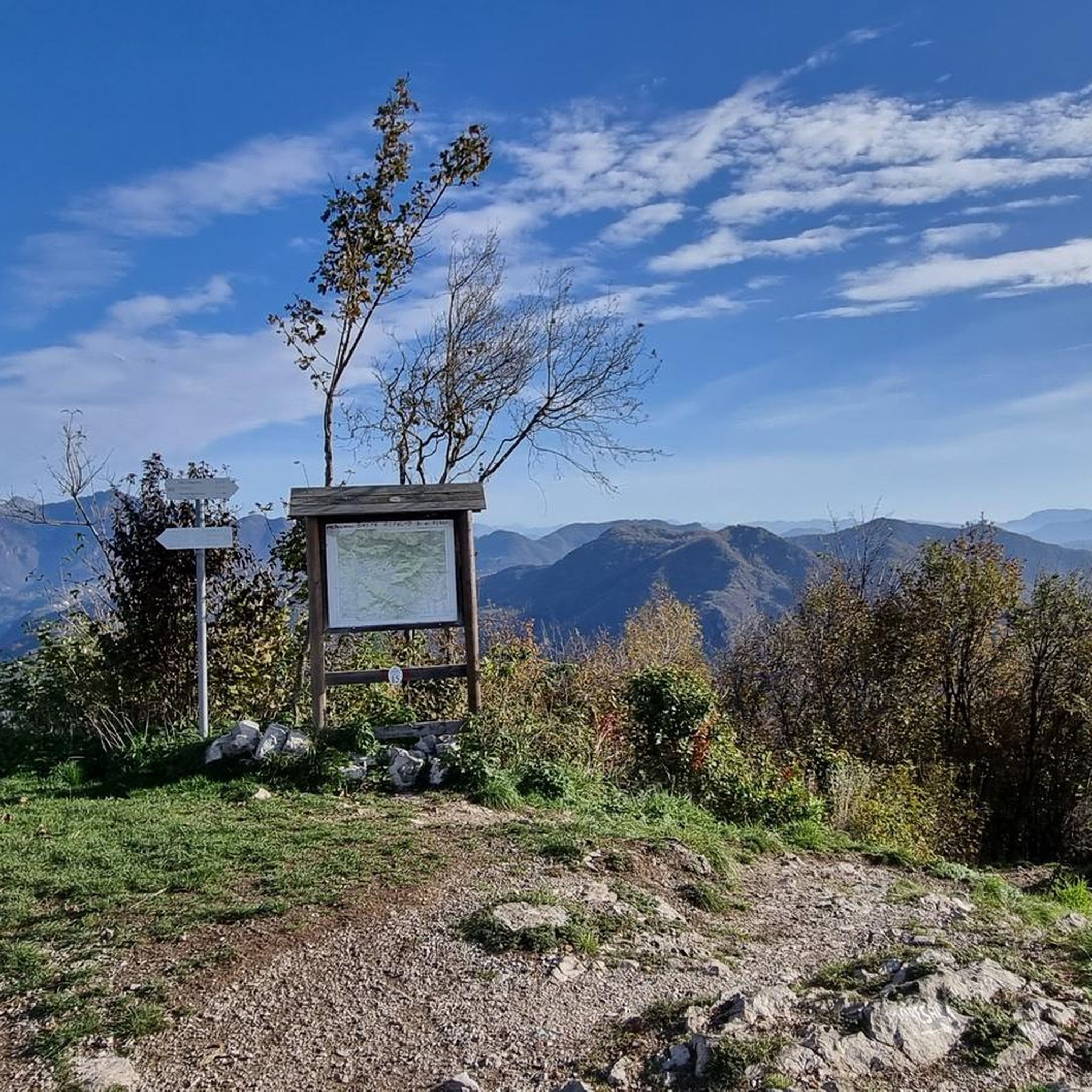
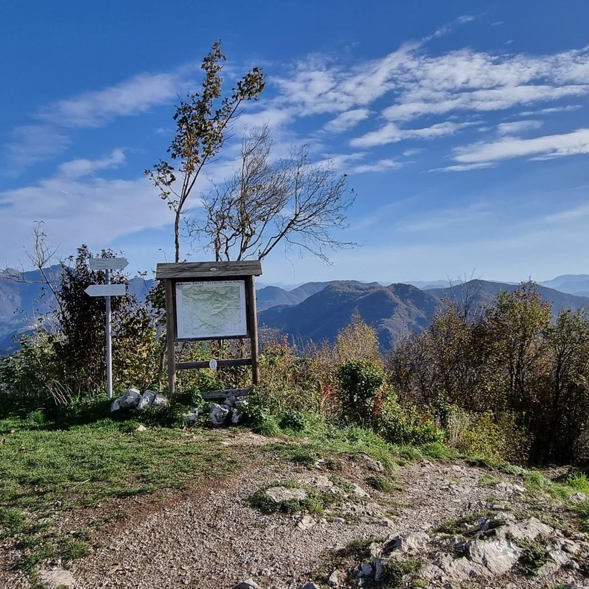
from the summit of Linzone 360° view
0
1
connecting path from the Valcava pass to the summit of Mount Linzone. Alternates between meadow and undergrowth sections, with rocky and steep parts.
0
1

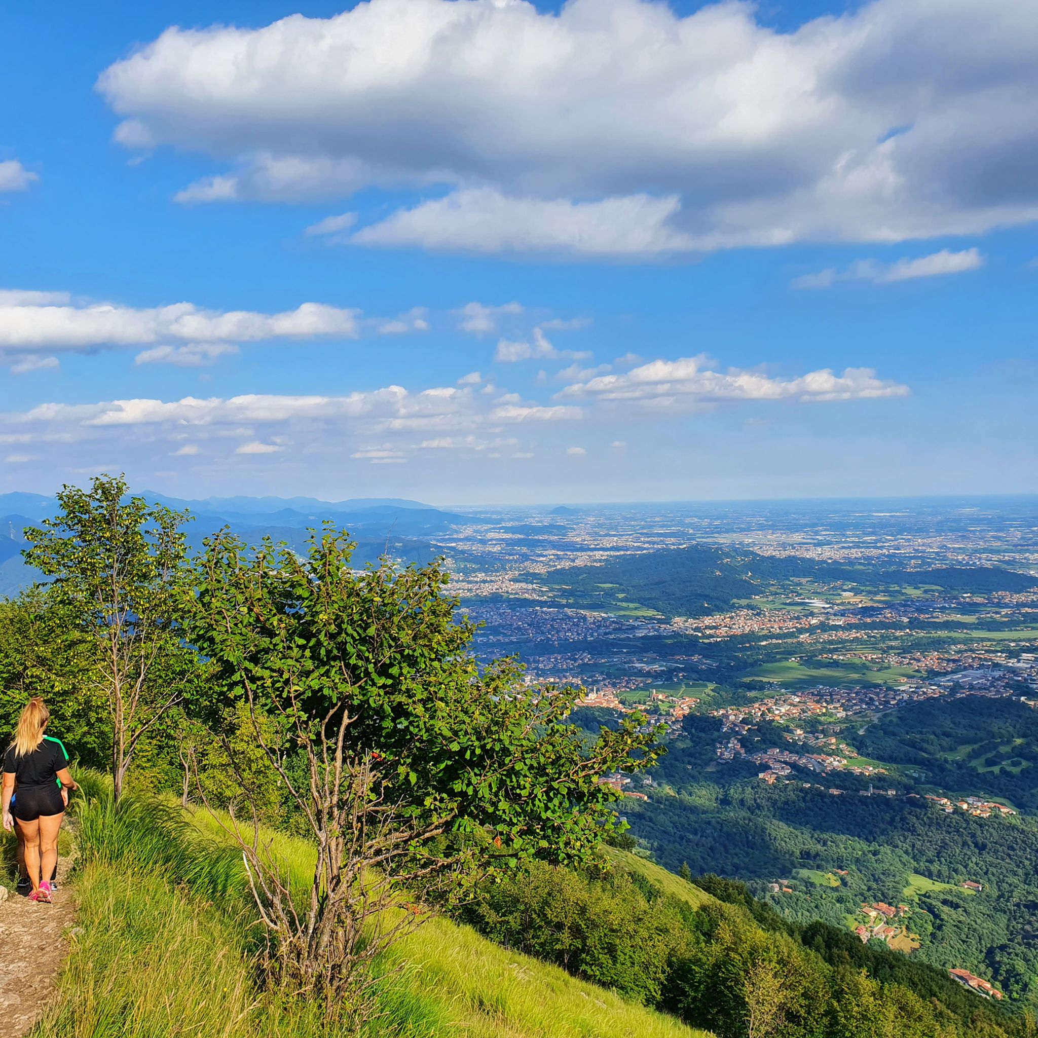
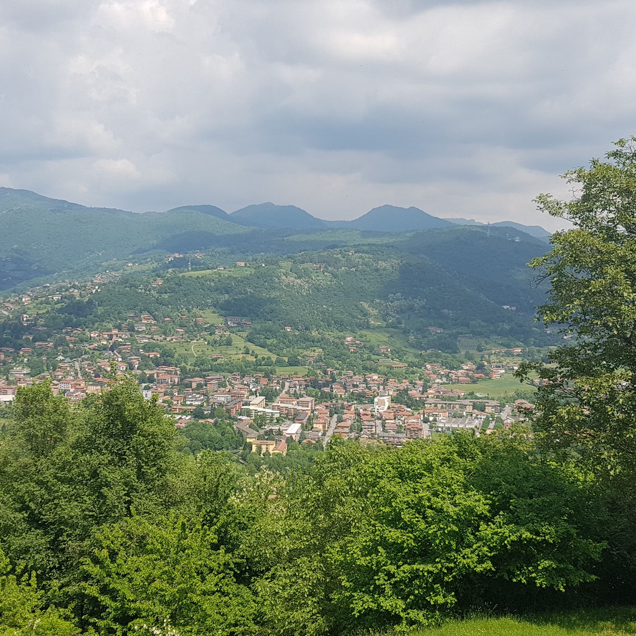
Stunning view of both the Imagna Valley and the Lecco area
0
0

From the ice cream shop/restaurant, you can access one of the most fun (and technical) trails in the area, the Agostini. It takes its name from the Bergamo motorcyclist champion, as at the end of the trail, on the right, you can see the racer's villa.
0
0
sanctuary church of Nazareth, from here take the path with yellow and blue markings
0
1

The most interesting thing about word games may be that they make people want to learn more about language and find new things. https://wordgames.gg
0
0
Frequently Asked Questions
What kind of mountaineering experiences can I expect around Sorisole?
Mountaineering around Sorisole offers a diverse range of experiences, from the hilly terrain and wooded areas of the Parco dei Colli di Bergamo to the more rugged peaks and dense forests of the Orobic Alps. You'll find varied rocky terrain suitable for different forms of climbing and high-altitude ascents, catering to experienced mountaineers seeking challenging routes.
Are there any family-friendly mountaineering options near Sorisole?
While many routes are challenging, the ascent to Monte Canto Alto is popular for both seasoned hikers and families. The trails leading to its summit traverse chestnut and beech forests, offering exceptional panoramic views. For specific routes, consider exploring the Parco dei Colli di Bergamo, which has a network of trails suitable for various skill levels, though specific 'easy' mountaineering routes are not listed in the provided data.
Can I bring my dog on the mountaineering routes around Sorisole?
Generally, dogs are welcome on trails in the region, especially within the Parco dei Colli di Bergamo and the Orobic Alps. However, it's always advisable to keep them on a leash, especially in protected areas or near wildlife, and to check local regulations for specific routes or nature reserves.
Are there circular mountaineering routes available from Sorisole?
Yes, many of the mountaineering routes around Sorisole are circular. For example, you can tackle the challenging Canto Alto – Pisgiù loop from Sorisole, which offers significant elevation gain and panoramic views. Another option is the Monte Linzone loop from Roncola, a difficult 6.1-mile path.
What are some of the most challenging mountaineering routes in the area?
For those seeking a significant challenge, the Monte Linzone loop from Almenno San Salvatore is a difficult 10.0-mile path featuring over 3,500 feet (1,065 m) of elevation gain. Another demanding option is the Campanua – Canto Alto loop from Torre Boldone, a 10.8-mile trail through forested slopes and open ridges.
What is the best time of year for mountaineering near Sorisole?
The region is generally accessible for mountaineering from spring through autumn. The Orobic Alps can present winter conditions with snow and ice, requiring specialized equipment and experience. Spring and autumn offer pleasant temperatures and vibrant landscapes, while summer provides longer daylight hours, though it can be warmer at lower elevations.
What kind of views and landmarks can I expect on these routes?
Mountaineering routes around Sorisole often lead to exceptional panoramic views of the town, the Po Valley, and the majestic Orobic Alps. Highlights include the summit of Monte Canto Alto. You might also encounter interesting natural features like the Val Giongo Cave or the Corno Buco Cave, and historical sites such as the Sanctuary of Cornabusa.
Are there any mountain huts or refuges along the mountaineering trails?
Yes, the Orobic Alps feature numerous mountain huts and refuges that are integral to multi-day treks and mountaineering expeditions, providing opportunities for rest and sustenance. Examples include the Pratolina Hut and the Lupi di Brembilla Hut.
What do other mountaineers say about the routes around Sorisole?
The mountaineering routes around Sorisole are highly rated by the komoot community, with an average score of 4.5 stars from over 2 reviews. More than 60 mountaineers have used komoot to explore Sorisole's varied terrain, often praising the challenging ascents and diverse landscapes.
Are there opportunities for guided mountaineering or climbing courses?
Yes, Sorisole is home to 'Quota Experience,' a sports association that offers courses and guided activities with certified mountain guides. These include rock climbing and high-altitude excursions, as well as specialized athletic preparation for mountaineering and ski mountaineering, providing opportunities to learn techniques and safely explore the more demanding aspects of the mountains.
How many mountaineering routes are there in Sorisole?
There are several mountaineering routes around Sorisole, with at least 7 difficult routes documented in the area. These routes offer a range of distances and elevation gains, providing ample opportunities for exploration.
What is the elevation gain like on these mountaineering routes?
The mountaineering routes around Sorisole feature significant elevation gains. For instance, the Canto Alto – Pisgiù loop from Sorisole involves an ascent of over 735 meters (2,411 feet), while the Monte Linzone loop from Almenno San Salvatore has an impressive elevation gain of over 1,065 meters (3,500 feet).
Most popular routes around Sorisole
Most popular attractions around Sorisole

Get inspired with the komoot mobile app


Explore more
Browse the best Mountain Hikes & Routes in other regions.
