The best mountain hikes around San Leonardo
5.0
(2)
22
hikers
5
hikes
Mountaineering routes San Leonardo are primarily found within mountainous regions, characterized by dramatic ranges and extensive trail networks. The area features significant elevation changes, offering challenging ascents and panoramic views. These routes often traverse varied terrain, including forested slopes and open mountain ridges, providing diverse experiences for mountaineers.
Best mountaineering routes around San Leonardo
- The most popular mountaineering route is Monte Matajur loop from Avsa, a 7.9 miles (12.8 km) trail that takes 5 hours 46 minutes to complete,…
Last updated: July 8, 2026
5.0
(1)
6
hikers
12.3km
05:34
860m
860m
Hard mountaineering route. Very good fitness required. Mostly accessible paths. Sure-footedness required.
8
hikers
3.51km
01:49
300m
300m
Moderate mountaineering route. Good fitness required. Mostly accessible paths. Sure-footedness required.

Sign up for free
3
hikers
5.25km
02:17
300m
300m
Moderate mountaineering route. Good fitness required. Mostly accessible paths. Sure-footedness required.
3
hikers
4.91km
02:14
310m
310m
Moderate mountaineering route. Good fitness required. Mostly accessible paths. Sure-footedness required.
5.0
(1)
2
hikers
Moderate mountaineering route. Good fitness required. Mostly accessible paths. Sure-footedness required.
Our route recommendations are based on thousands of hikes, rides, and runs completed by other people on komoot.
Start today with a free account
Your next adventure awaits.
Login or Signup
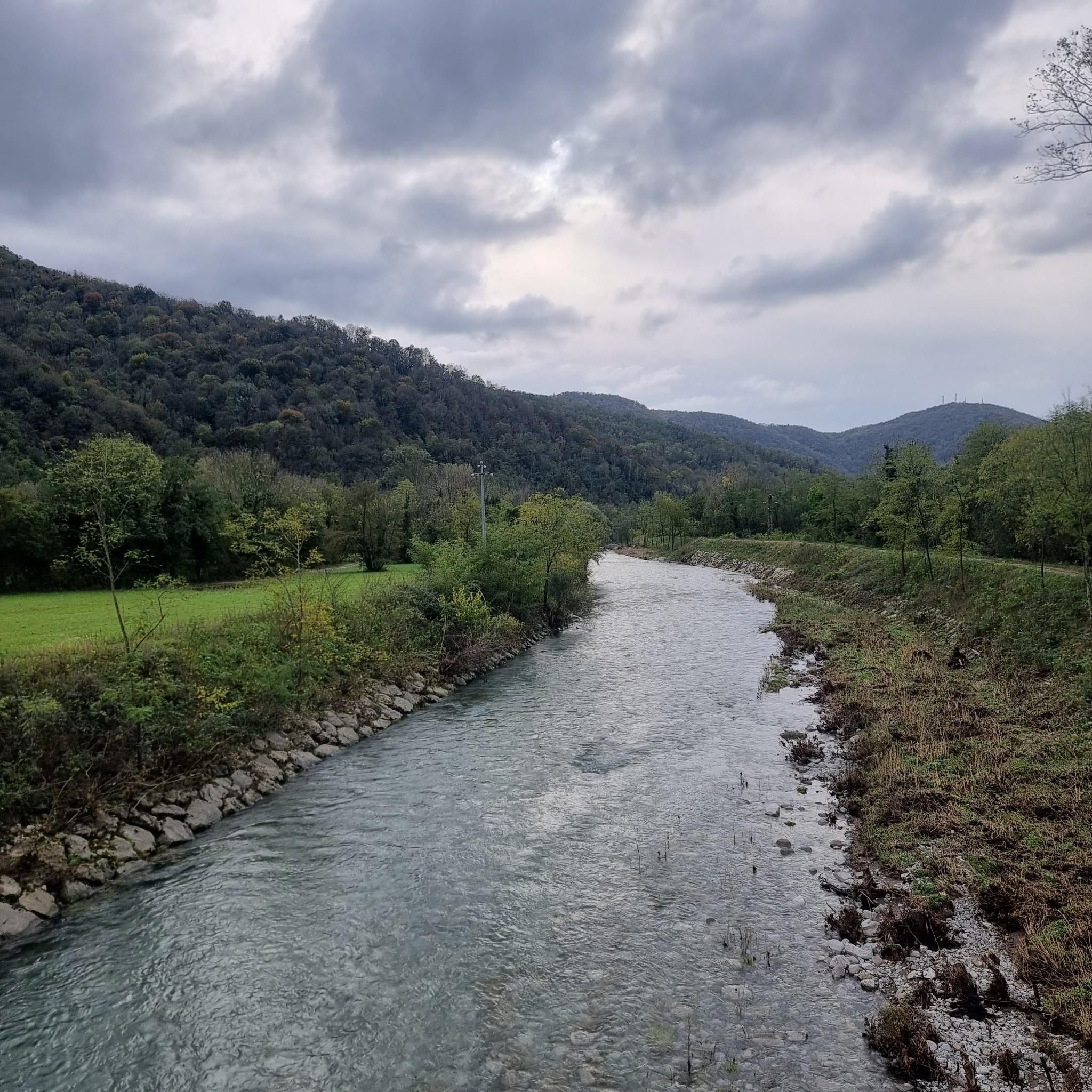
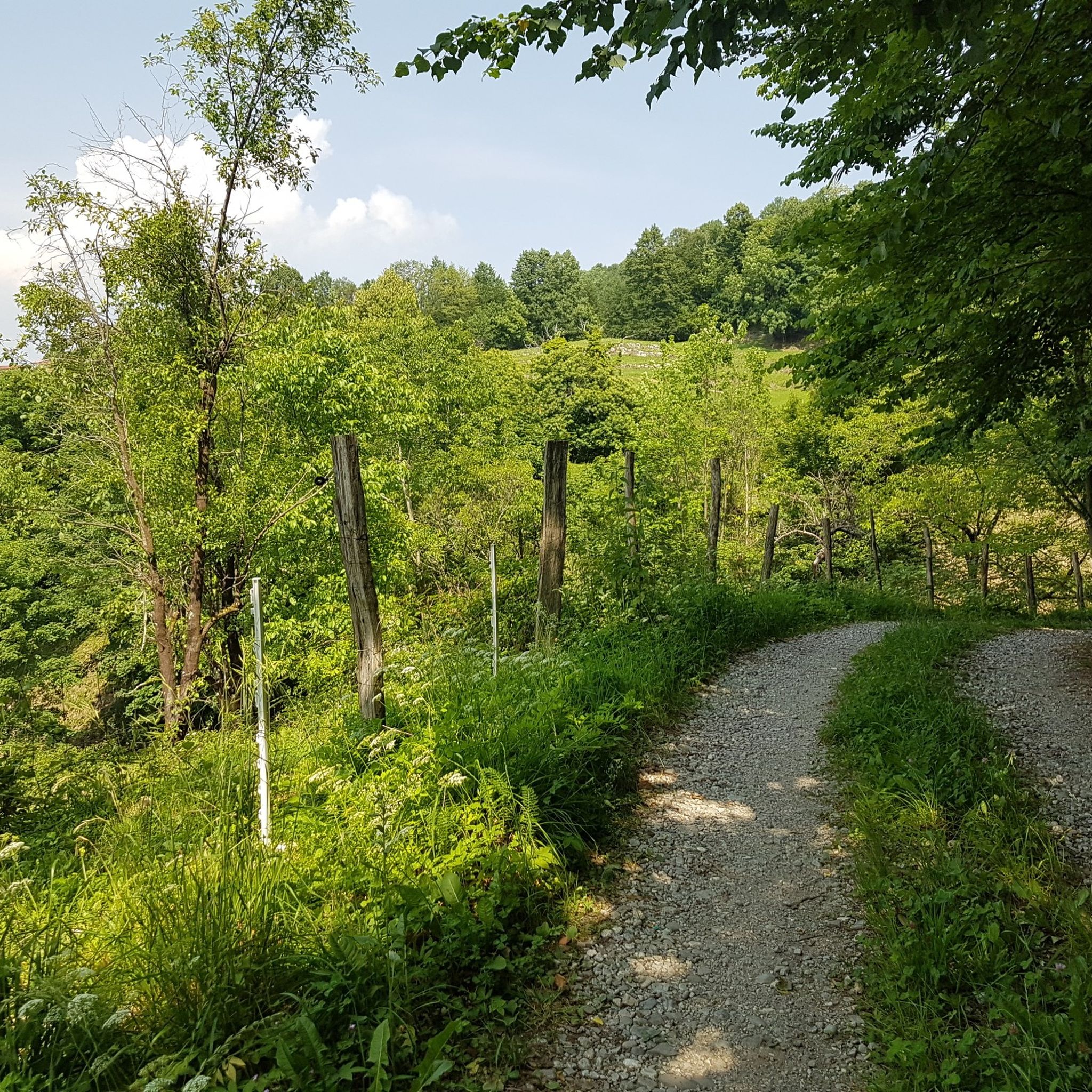
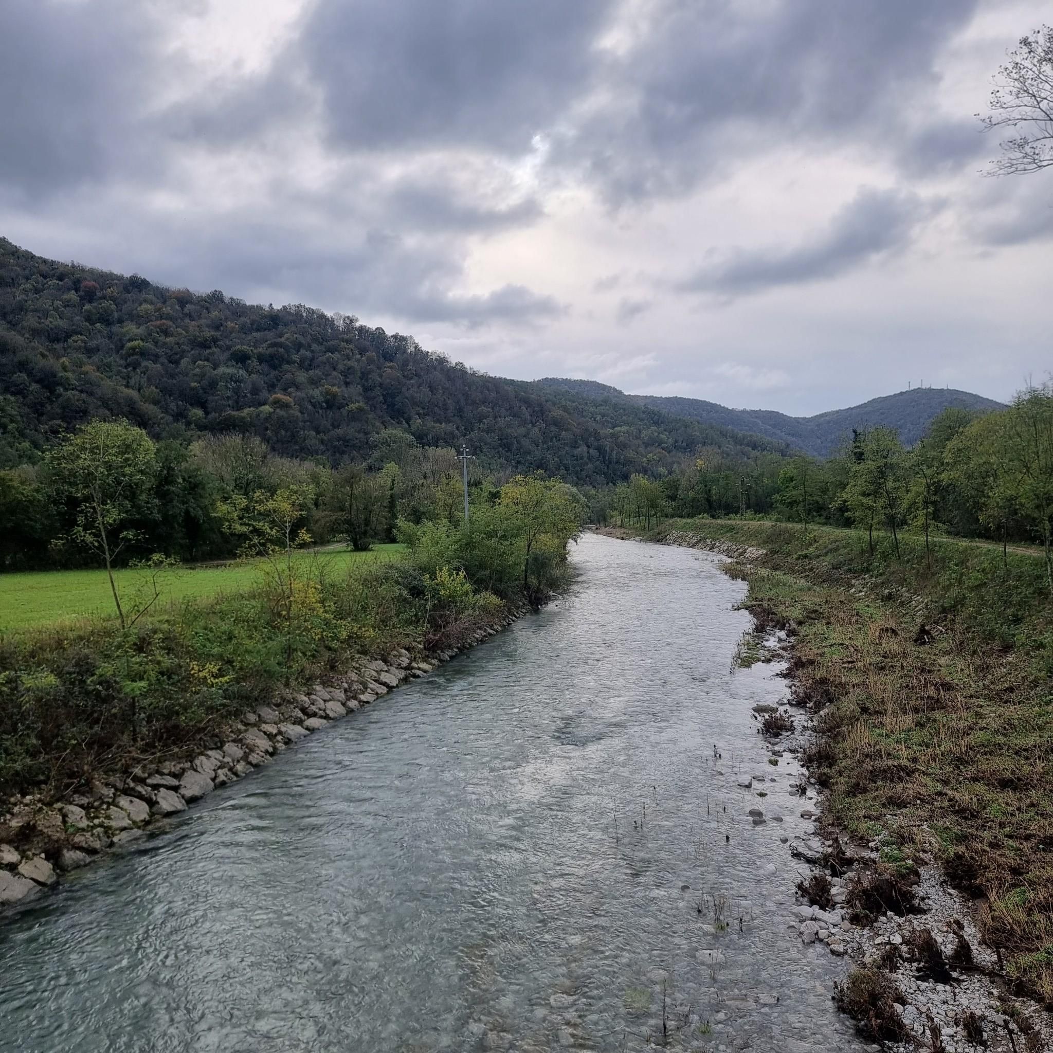
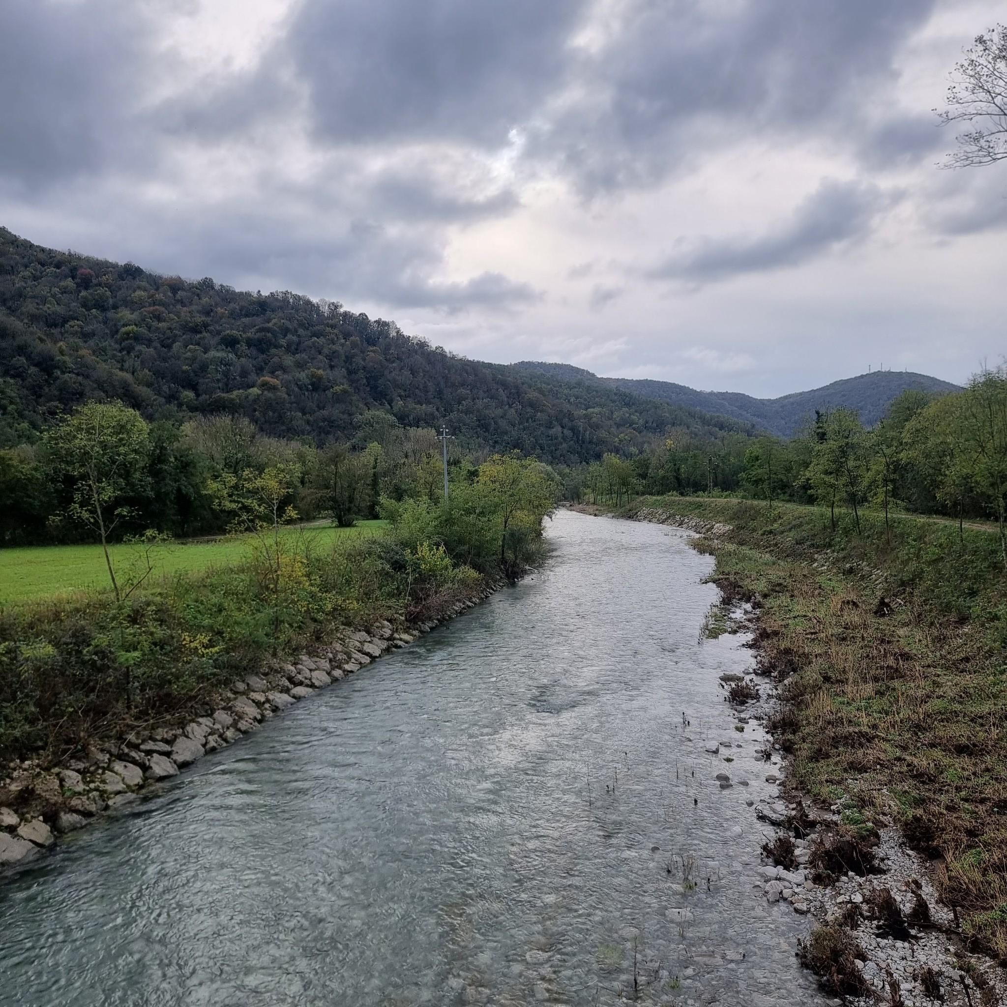

Tips from the Community

Easily accessible, it offers a beautiful view of the mountains all around, the small church of Christ the Redeemer and plenty of space for a break and a packed lunch. Excellent
0
0

Very nice hostess. Drinks are paid for on a donation basis, which you can then enjoy with a breathtaking view.
1
0

Very beautiful up here.
0
0

Without a doubt, a peak worth visiting
0
0

The highlight! A view over Slovenia and Italy is possible. History took place here. The chapel commemorates this.
0
0
Perfect for strengthening yourself in an uncomplicated environment.
0
0
The view from here towards the sea is absolutely stunning. This is a good place for a break. There are still World War trenches nearby.
1
0

It's a difficult climb uphill, but the view is worth it.
10
0
Frequently Asked Questions
What is the general difficulty level of mountaineering routes around San Leonardo?
The mountaineering routes around San Leonardo offer a range of challenges. Our guide features four moderate routes and one difficult route. For example, the Monte Matajur loop from Avsa is classified as difficult, while routes like the Monte Matajur loop from Masseris / Mašera are moderate, providing options for various skill levels.
Are there any family-friendly mountaineering options near San Leonardo?
Yes, for families looking for a less strenuous experience, several moderate routes are suitable. The View of the Mountains – Monte Matajur loop from Matajur, for instance, is a moderate 5.2 km (3.2 miles) trail that can be completed in about 2 hours 16 minutes, offering varied landscapes without extreme difficulty.
What kind of terrain can I expect on the mountaineering routes in this area?
The routes around San Leonardo are characterized by dramatic mountain ranges and significant elevation changes. You'll traverse varied terrain, including forested slopes and open mountain ridges, providing diverse experiences and panoramic views. The region's natural beauty, typical of the Apennine Mountains or similar Italian alpine areas, features lush greenery and stunning vistas.
What are some interesting landmarks or points of interest along the mountaineering trails?
Along the trails, you can discover several interesting points. You might encounter mountain huts like Dom na Matajure Mountain Hut or Guglielmo Pelizzo Mountain Hut, which can be great spots for a break. There are also mountain passes such as Bocchetta di Masarolis, offering historical or scenic value.
Are there any circular mountaineering routes available?
Yes, all the routes highlighted in this guide are circular, allowing you to start and end at the same point. Examples include the Monte Matajur loop from Avsa and the Monte Matajur loop from Matajur, providing convenient options for your mountaineering adventures.
What is the best time of year for mountaineering in San Leonardo?
The best time for mountaineering in San Leonardo generally aligns with late spring, summer, and early autumn when the weather is more stable and trails are clear of snow. While some regions like Val Badia attract winter sports enthusiasts, for mountaineering, warmer months offer the most accessible and enjoyable conditions for exploring the high mountain trails.
What do other mountaineers enjoy most about the routes in San Leonardo?
The mountaineering routes in San Leonardo are highly rated by the komoot community, with an average score of 5.0 stars. Users often praise the challenging ascents, the panoramic views from the summits, and the varied terrain that makes each route a unique experience.
How long do the mountaineering routes typically take to complete?
The duration of the routes varies depending on their length and difficulty. For example, the Monte Matajur loop from Avsa, a difficult 12.8 km (7.9 miles) route, typically takes around 5 hours 46 minutes. A shorter, moderate option like the Monte Matajur loop from Matajur (4.9 km / 3.0 miles) can be completed in about 2 hours 13 minutes.
Are there any mountain huts available for overnight stays or refreshments?
Yes, there are several mountain huts in the vicinity that can serve as excellent resting points or even for overnight stays. Notable options include Rifugio Casoni Solarie and Zanuso Bivouac. These huts often provide refreshments and a chance to experience the mountain environment more deeply.
What is the elevation gain like on these routes?
The mountaineering routes around San Leonardo feature significant elevation changes, contributing to their challenging nature and rewarding views. For instance, the difficult Monte Matajur loop from Avsa involves an ascent of over 900 meters (2,950 feet), while moderate routes like the Monte Matajur loop from Masseris / Mašera have an elevation gain of around 660 meters (2,165 feet).
Is public transport available to reach the trailheads?
While specific public transport details for each trailhead are not provided, mountain regions in Italy often have limited public transport options directly to remote trailheads. It's advisable to check local bus schedules or consider driving to access the starting points of these mountaineering routes. Parking is generally available near popular trailheads, though it might be limited during peak season.
Most popular routes around San Leonardo
Most popular attractions around San Leonardo

Get inspired with the komoot mobile app


Explore more
Browse the best Mountain Hikes & Routes in other regions.
