The best mountain hikes around Berzo Inferiore
3.0
(1)
28
hikers
2
hikes
Mountaineering routes around Berzo Inferiore are set within the diverse and challenging landscape of Valle Camonica, characterized by significant mountainous terrain. The region features prominent peaks such as Monte Muffetto and Monte Ario, offering extensive panoramas across surrounding ranges. Alpine lakes like Lake Lova and Lake Moro, alongside verdant valleys such as Val Grigna, contribute to a varied topography. This area provides a range of mountaineering experiences across its varied terrain.
Best mountaineering routes around Berzo Inferiore
- The most popular…
Last updated: October 11, 2026
3.0
(1)
10
hikers
Moderate mountaineering route. Good fitness required. Mostly accessible paths. Sure-footedness required.
10
hikers
11.7km
05:22
820m
820m
Hard mountaineering route. Very good fitness required. Sure-footedness, sturdy shoes and alpine experience required.

8
hikers
11.0km
06:48
1,280m
1,280m
Hard mountaineering route. Very good fitness required. Sure-footedness, sturdy shoes and alpine experience required.
Our route recommendations are based on thousands of hikes, rides, and runs completed by other people on komoot.
Start today with a free account
Your next adventure awaits.
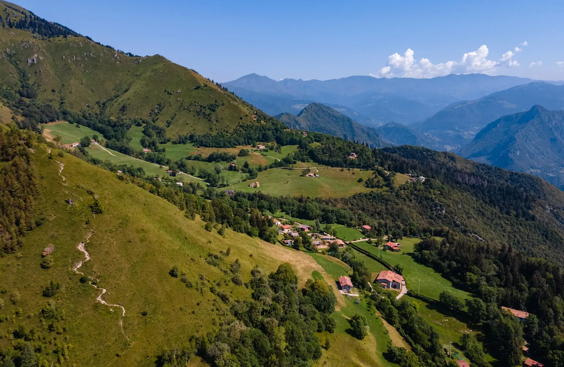
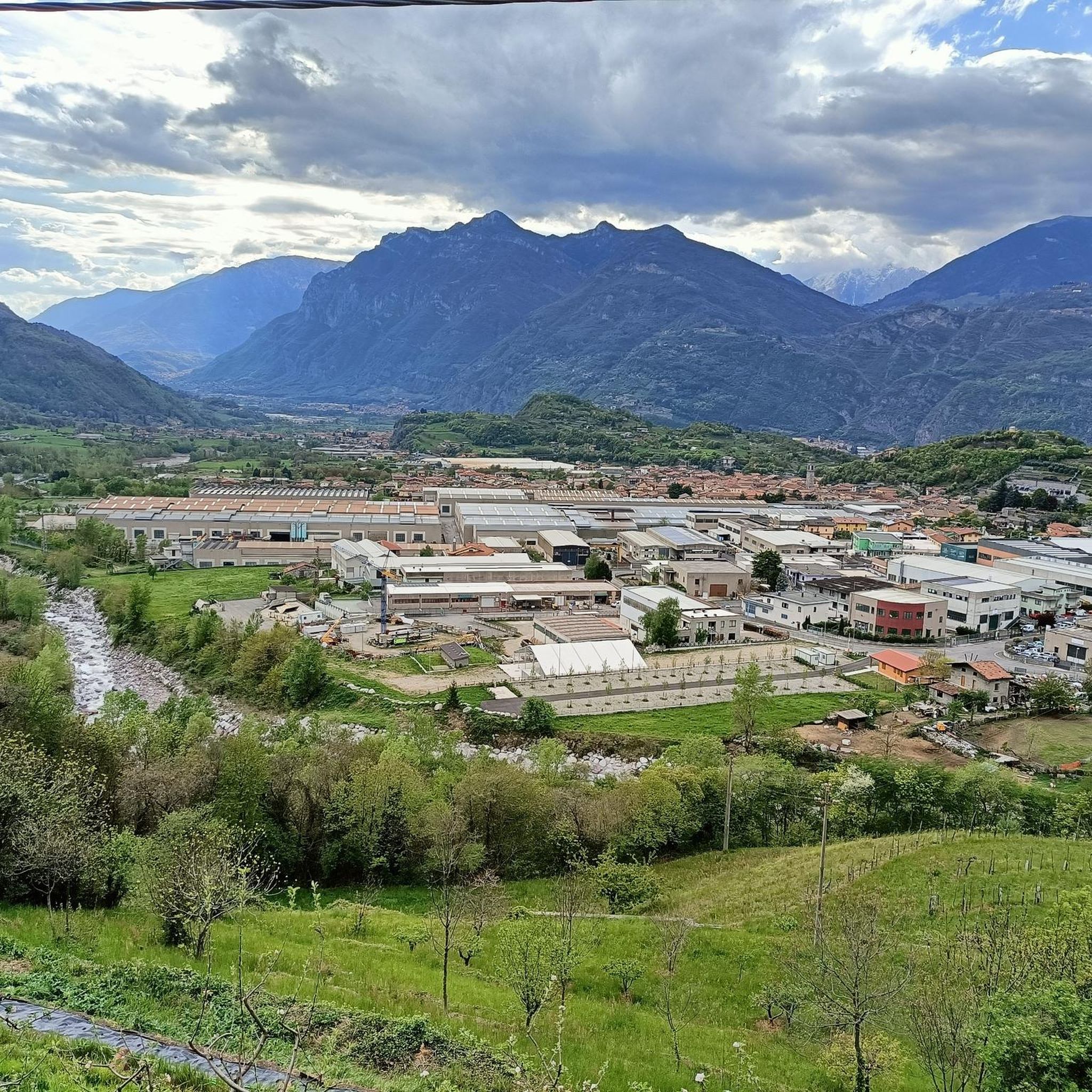
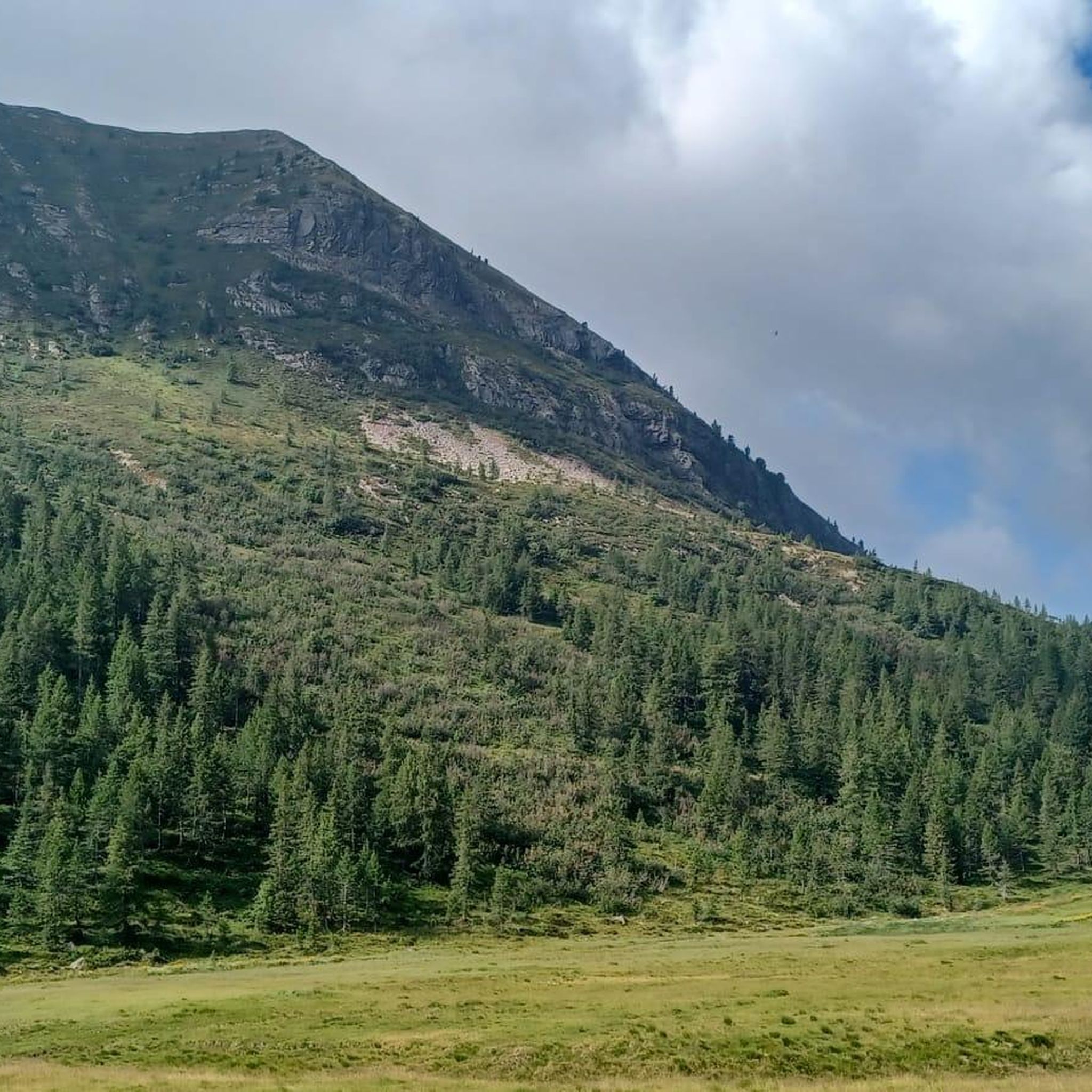
Other adventures around Berzo Inferiore

Tips from the Community

Maniva is a must, it crosses several interesting points where you can cycle at altitude
0
0

Beautiful tour with e-bike, with little portage below the 7 crocette and below the Tita Secchi (old refuge) to go to Pezzeda. Pay attention at the fork for Passo Croce, the path is barely visible. Shortly before reaching the pass, take the path to the right (which I missed) thus avoiding carrying the bike down the rocks.
0
0

Great refuge even if it's practically on the access road, let's say not exactly typical for hikers
0
0

The Rifugio C. Tassara (Bazena) is the classic starting point for reaching Val Fredda, Passo della Vacca, Lago della Vacca, and Rifugio Tita Secchi. It is a fundamental reference point for the entire eastern Adamello area.
0
0

Breathtaking panorama, with a sunny day it's fantastic!
0
0

An excellent restaurant for enjoying typical Brescian mountain cuisine: homemade gnocchi with porcini mushrooms, pasta with Bagoss cheese, venison stew, casoncelli alla bresciana, and much more. E-bike rentals are available at the restaurant's adjacent facility (E-bike Dosso Alto). You can also charge your e-bike during lunch or coffee. (I recharged my legs instead.)
1
0

difficult path with last part on the crest and steep descent with 3 passage points with very exposed chain
1
1

This is not a radar but a radio system, a troposcatter.
1
0
Frequently Asked Questions
What kind of terrain can I expect on mountaineering routes around Berzo Inferiore?
The region around Berzo Inferiore offers a diverse and challenging natural landscape. You'll encounter numerous mountain peaks like Monte Ario and Monte Muffetto, offering extensive panoramas. There are also significant mountain passes such as Passo Crocedomini, and alpine lakes like Lake Lova, providing varied terrain from moderate ascents to difficult, sustained climbs.
Are there any challenging mountaineering routes for experienced climbers?
Yes, Berzo Inferiore features several challenging routes. For instance, the Monte Frerone loop from Passo di Crocedomini is a difficult 7.1-mile path that ascends through varied terrain. Another demanding option is the First Canyon – View of the Southern Valley loop from Lozio, which is 6.8 miles long and involves significant elevation gain.
How long do mountaineering routes typically take in this area?
The duration of mountaineering routes around Berzo Inferiore varies depending on the specific trail and your pace. For example, the moderate La Vacca Rock – Lago della Vacca loop from Bagolino typically takes around 3 hours 52 minutes. More challenging routes, like the First Canyon – View of the Southern Valley loop from Lozio, can take approximately 6 hours 47 minutes to complete.
Are there any circular mountaineering walks available?
Yes, many of the mountaineering routes in the area are designed as loops. For example, you can explore the La Vacca Rock – Lago della Vacca loop from Bagolino, which takes you around an alpine lake. Another option is the Monte Frerone loop from Passo di Crocedomini, offering extensive views.
What natural features or viewpoints can I expect to see on these routes?
The mountaineering routes offer breathtaking vistas. You can expect magnificent 360-degree views from peaks like Monte Ario. Monte Muffetto provides splendid panoramas encompassing the Montecampione plain, Bassinale valley, the Orobie mountain range, Presolana, the Adamello massif, Lake Sebino, the Camonica Valley, and the Trompia Valley. You'll also encounter alpine lakes such as Lake Lova, nestled between Pizzo Camino and Mount Mignone.
Are there mountain huts or refuges along the mountaineering trails?
Yes, the area is well-equipped with mountain huts. Notable options include Dosso Rotondo Hut, which serves as a strategic point between Val Trompia and Val Camonica, and San Fermo Hut, situated at the base of Corna di San Fermo with exceptional panoramic views. Other huts like Elena Tironi Mountain Hut and Don Giulio Corini Bivouac also offer hospitality.
What is the best time of year for mountaineering in Berzo Inferiore?
The best time for mountaineering in Berzo Inferiore is generally during the warmer months, from late spring to early autumn, when trails are clear of snow and weather conditions are more stable. However, specific routes and higher elevations might be accessible later in the season. Always check local weather forecasts and trail conditions before heading out.
Are there any family-friendly mountaineering options?
While many mountaineering routes in the region are challenging, some sections or shorter trails might be suitable for families with older children who have some hiking experience. For example, the moderate La Vacca Rock – Lago della Vacca loop from Bagolino, which explores an alpine lake, could be a suitable option for active families.
What do other mountaineers enjoy most about the routes in Berzo Inferiore?
The mountaineering routes in Berzo Inferiore are highly rated by the komoot community, with an average score of 3.75 stars from over 5 reviews. Mountaineers often praise the diverse and challenging natural landscape, the breathtaking panoramas from the peaks, and the variety of terrain that caters to different ability levels.
Are there any permits required for mountaineering in this area?
Generally, permits are not required for day mountaineering trips on established trails around Berzo Inferiore. However, if you plan to access specific protected areas, private lands, or engage in activities like overnight camping, it's always advisable to check with local authorities or park management for any specific regulations or permit requirements.
Can I find cafes or places to eat near the starting points of mountaineering routes?
The region around Berzo Inferiore, including areas near significant passes like Passo Crocedomini, often has mountain huts and small establishments that offer food and refreshments. Rifugio Dosso Rotondo and San Fermo Hut, for instance, provide hospitality to trekkers. It's recommended to check their operating hours in advance, especially during off-peak seasons.
Is there public transport available to reach the mountaineering trailheads?
While specific public transport options directly to all remote trailheads might be limited, some starting points, especially those near villages or major passes, may be accessible by local bus services. For routes like the Pozzone – Monte Dasdana loop from Collio, you might need to combine public transport with a short taxi ride or a car. It's best to research specific routes and local transport schedules in advance.
Most popular routes around Berzo Inferiore
Most popular attractions around Berzo Inferiore

Get inspired with the komoot mobile app


Explore more
Browse the best Mountain Hikes & Routes in other regions.
