The best walks and hikes around Montecalvo Irpino
3.8
(4)
13
hikers
7
hikes
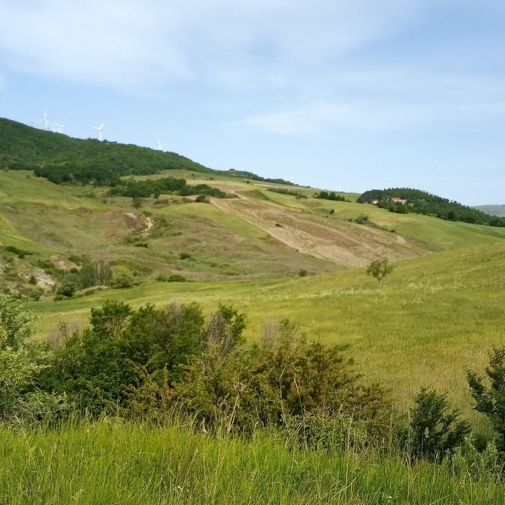
Hiking around Montecalvo Irpino offers diverse landscapes within the northern Avellino province, characterized by its mountainous and hilly terrain. The communal area features elevations ranging from 151 to 700 meters above sea level, with clay and tufa soil. The region is shaped by the Miscano River and Ufita Valley, providing varied environments for outdoor exploration. This area is known for its natural features, including the unique Bolle della Malavizza mud volcanoes.
Best hiking trails around Montecalvo Irpino
- The most popular…
Last updated: July 8, 2026
8.78km
02:45
360m
360m
Moderate hike. Good fitness required. Easily-accessible paths. Suitable for all skill levels.
3.0
(1)
3
hikers
Moderate hike. Good fitness required. Easily-accessible paths. Suitable for all skill levels.

Sign up for free
1
hikers
2.73km
00:49
90m
80m
Easy hike. Great for any fitness level. Easily-accessible paths. Suitable for all skill levels.
2
hikers
10.6km
03:13
340m
340m
Moderate hike. Good fitness required. Easily-accessible paths. Suitable for all skill levels.
3.0
(1)
1
hikers
4.11km
01:10
90m
90m
Easy hike. Great for any fitness level. Easily-accessible paths. Suitable for all skill levels.
Get access to more routes and recommendations from other explorers.
Sign up for free
Already have an account?
Our route recommendations are based on thousands of hikes, rides, and runs completed by other people on komoot.
Start today with a free account
Your next adventure awaits.
Login or Signup
Popular around Montecalvo Irpino
Tips from the Community


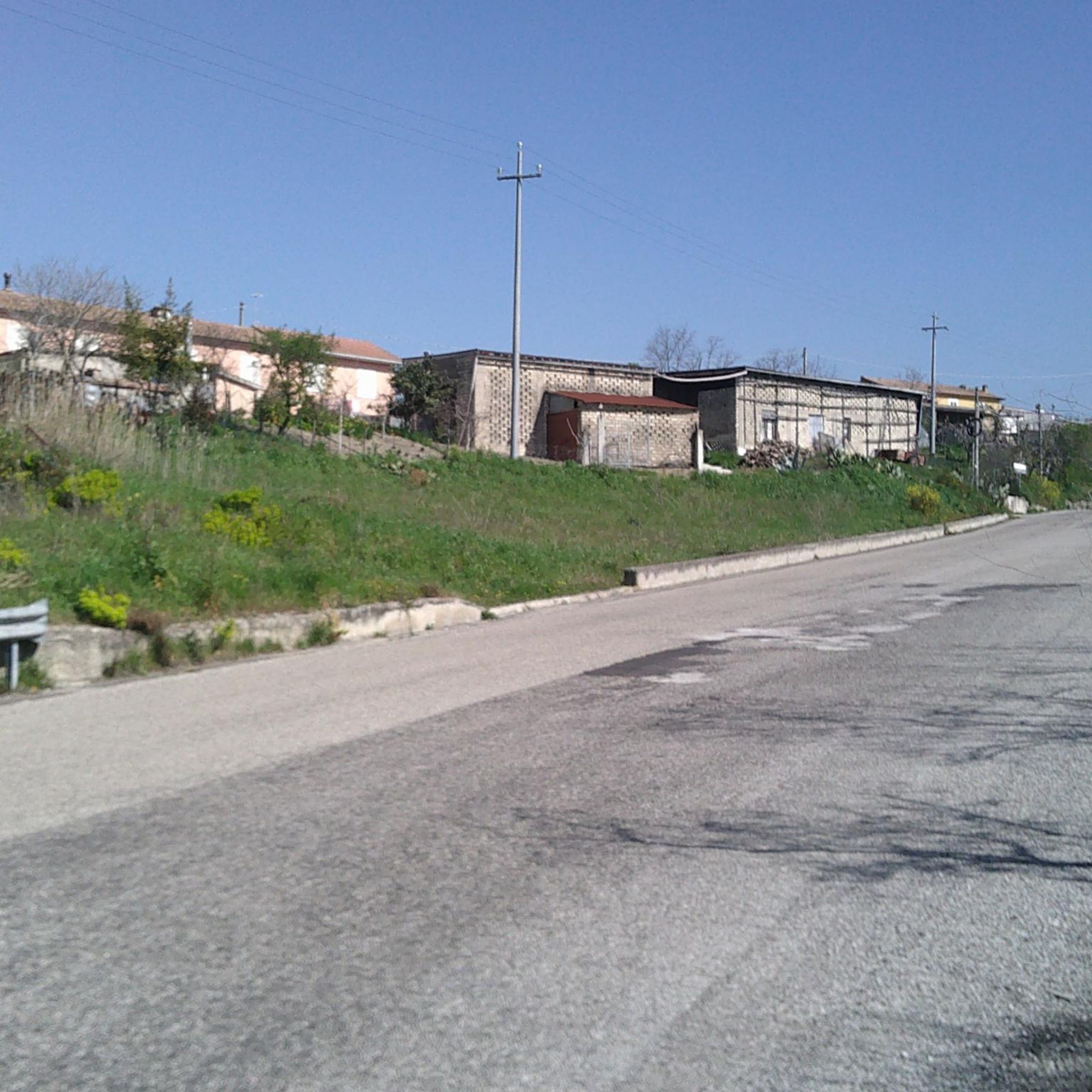
Montefalcone di Val Fortore is a town in the province of Benevento, near the border between Campania and Puglia. The Fortore river is born in the municipal area and is the highest municipality in the province with the historic village located more than 800 meters above sea level.
2
0

Buonalbergo is located at an altitude of 555 and it is assumed that it was built by some refugees from nearby villages that were destroyed by the Barbarians. Definitely worth seeing the Ponte delle Chianche, a Roman bridge still quite well preserved.
1
0
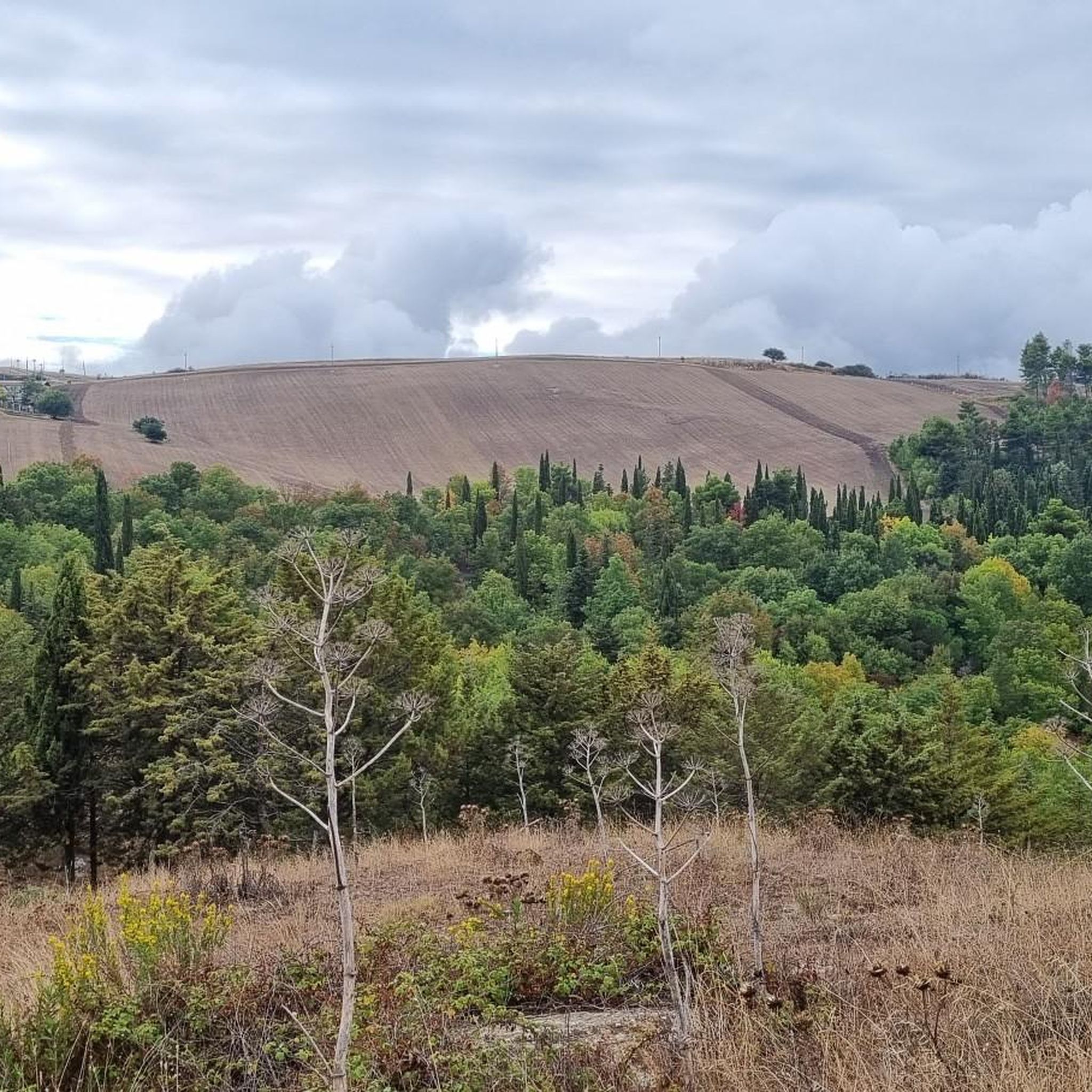
Here there are probably burial mounds and monumental burials, although research on this site is still ongoing, but it is very probable that the mounds were used in the past mainly by the local elite.
2
0
Frequently Asked Questions
How many hiking trails are available around Montecalvo Irpino?
There are currently 5 hiking trails listed around Montecalvo Irpino, offering a variety of experiences for outdoor enthusiasts.
What kind of terrain can I expect on hikes around Montecalvo Irpino?
Hikes around Montecalvo Irpino feature diverse terrain, from predominantly mountainous and hilly landscapes with clay and tufa soil to picturesque riverine areas along the Miscano River and Ufita Valley. You might also encounter unique geological features like the Bolle della Malavizza mud volcanoes.
Are there easy hiking options suitable for beginners or families?
Yes, there are easy hiking options. For instance, the Forest Trailhead – Tumuli Forest Path loop from Casalbore is an easy route that covers about 2.7 km. Another accessible option is the Piana Romana Sanctuary loop from Pietrelcina, which is 4.1 km long and leads through gentle landscapes.
What are some notable natural features or landmarks to see while hiking?
Hikers can explore several unique natural features and historical landmarks. The Apice Vecchia ghost town offers a unique historical landscape. You might also encounter the Bolle della Malavizza, which are small mud volcanoes, or the ancient Roman Norman Tower of Casalbore.
Are there any circular hiking routes in the area?
Yes, several routes are circular. The View of the Italian Village loop from Montefalcone di Val Fortore is a moderate 8.4 km loop. Another option is the Norman Tower of Casalbore – Tumuli Forest Path loop from Casalbore, which is 8.7 km long and leads through varied terrain.
What do other hikers enjoy most about hiking in Montecalvo Irpino?
The hiking trails around Montecalvo Irpino are highly rated by the komoot community, with an average score of 3.75 stars from 4 reviews. Hikers often praise the diverse landscapes, the blend of nature with historical points of interest, and the unique geological features like the mud volcanoes.
What is the best time of year to go hiking in Montecalvo Irpino?
Montecalvo Irpino generally experiences a temperate climate with moderate rainfall. Spring and autumn are ideal for hiking, offering pleasant temperatures and vibrant natural scenery. Summer can also be suitable, though it might be warmer, while winter offers a different, often quieter, experience.
Are there any historical sites or ancient ruins accessible via hiking trails?
Absolutely. The region is rich in history. The 'Trekking Pompiliano' route, for example, includes points of interest like the Ospitale di Santa Caterina, Grotta dei Briganti, and the ruins of the Church of Madonna dell'Abbondanza. The ancient Roman Ponte della Malavizza (Devil's Bridge) is also a significant historical ruin along the historic Via Traiana.
Can I find trails that offer scenic viewpoints?
Many routes in Montecalvo Irpino are promoted for their scenic beauty. Given the region's mountainous and hilly terrain, trails often provide panoramic views of the Ufita Valley and surrounding landscapes. The View of the Italian Village loop from Montefalcone di Val Fortore is specifically designed to offer picturesque vistas.
Are there any trails that follow rivers or streams?
Yes, Montecalvo Irpino is located upstream of the confluence of the Miscano stream and the Ufita River. Many trails incorporate these riverine landscapes, offering picturesque views and a different kind of natural experience. The ancient Ponte della Malavizza, for instance, spans the Miscano river.
What is the longest hiking route available?
The longest hiking route currently available is From Buonalbergo to the Samnite necropolis. This moderate trail spans approximately 8.8 km and takes around 2 hours and 45 minutes to complete, featuring significant elevation gain and historical points of interest.
Most popular attractions around Montecalvo Irpino

Get inspired with the komoot mobile app


Explore more
Browse the best Hikes in other regions.
