The best mountain hikes around Albenga
5.0
(1)
5
hikers
3
hikes
Mountaineering routes around Albenga are situated between the Ligurian Sea and the Maritime Alps, offering diverse terrain. The region is characterized by limestone rock formations, Mediterranean vegetation, and terraced landscapes, with the Rio Pennavaire stream flowing through the valley. This combination of coastal proximity and mountainous hinterland provides varied elevation and features for mountaineering.
Best mountaineering routes around Albenga
- The most popular mountaineering route is Monte Pesalto loop from Riserva Regionale di Rio Torsero, a 5.2 miles (8.3 km)…
Last updated: July 8, 2026
2
hikers
10.5km
03:38
530m
530m
Moderate mountaineering route. Good fitness required. Easily-accessible paths. Suitable for all skill levels.
1
hikers
10.5km
03:51
650m
650m
Moderate mountaineering route. Good fitness required. Easily-accessible paths. Suitable for all skill levels.

Sign up for free
5.0
(1)
2
hikers
7.32km
02:56
460m
460m
Moderate mountaineering route. Good fitness required. Mostly accessible paths. Sure-footedness required.
Our route recommendations are based on thousands of hikes, rides, and runs completed by other people on komoot.
Start today with a free account
Your next adventure awaits.
Login or Signup
Tips from the Community

It features a stone balcony from which you can admire the coast
0
0

Panoramic viewpoint. Some beautiful photos come out here.
7
0

the playground begins here!!
0
0

breathtaking view...spectacular place
0
0
Panoramic point for taking stunning photos.
25
0

easy. Be careful on very hot days.
0
0

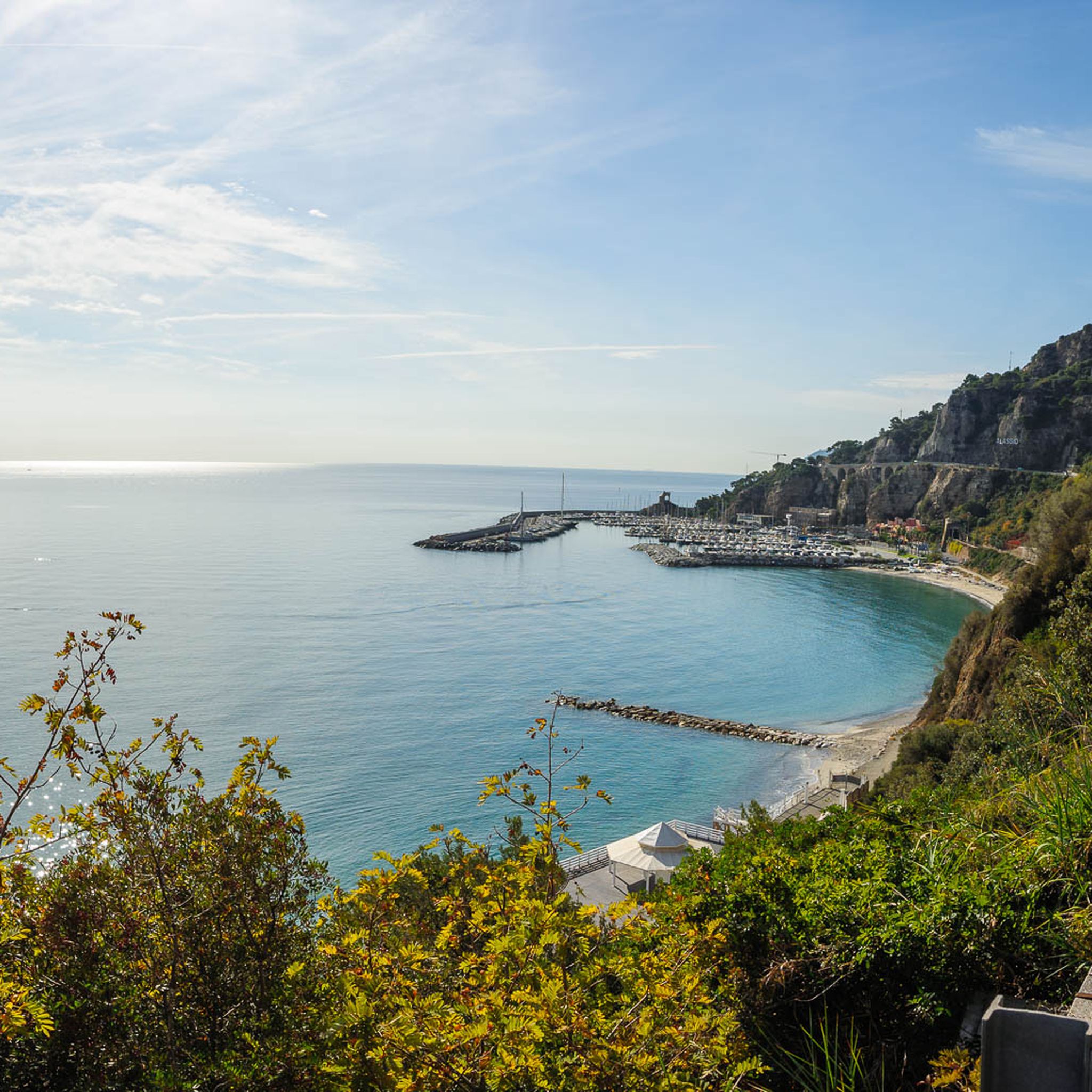
From this point you have a splendid view of Gallinara Island and the port and coast of Alassio, beyond the Hollywood-style sign.
0
0

A wonderful view of the harbor, unfortunately I can't upload my pictures here.
0
0
Frequently Asked Questions
What kind of terrain can I expect on mountaineering routes around Albenga?
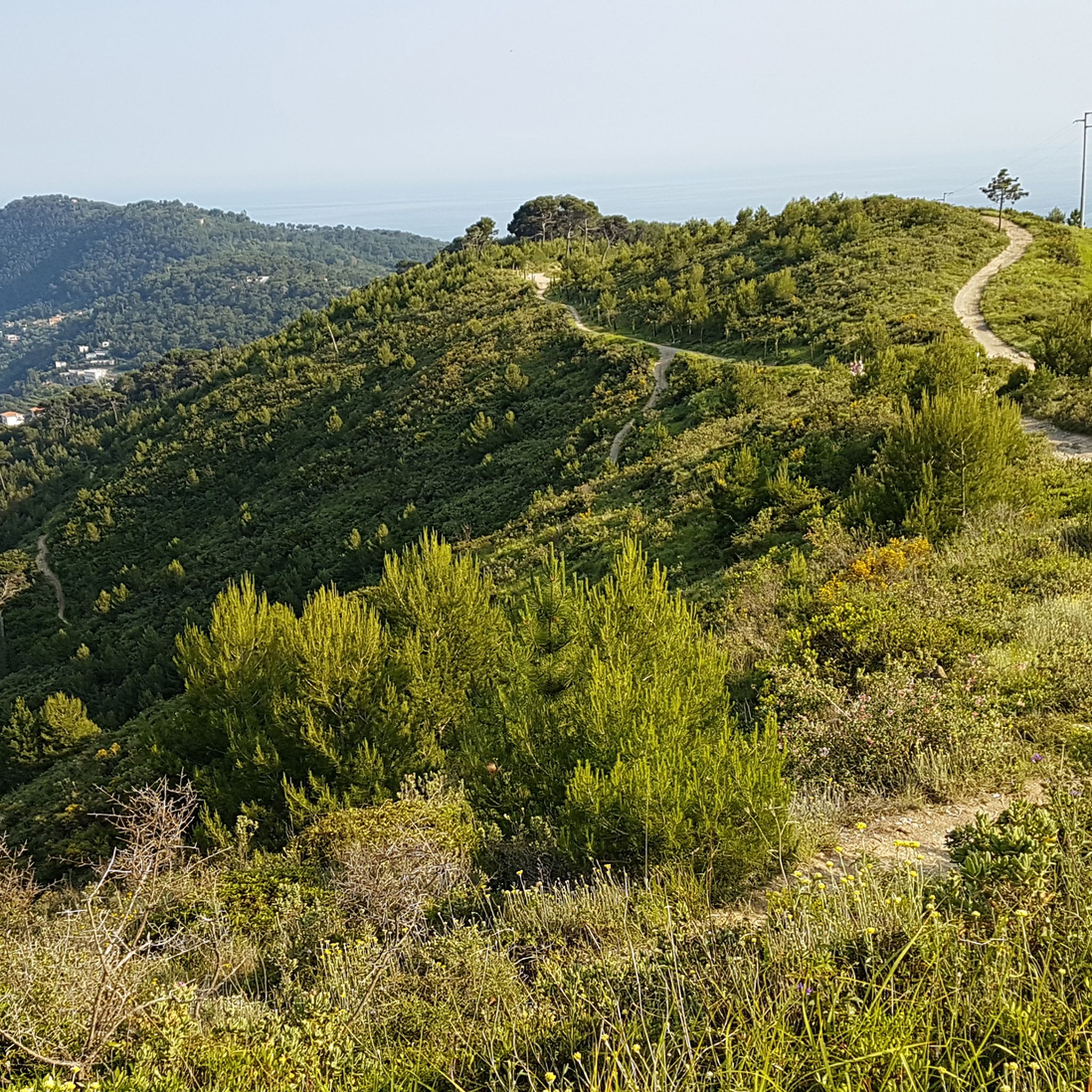
The mountaineering routes around Albenga are characterized by diverse terrain, ranging from limestone hills and Mediterranean vegetation to terraced landscapes. You'll find a mix of moderate ascents and more challenging climbs, often with views of the Ligurian Sea and the Maritime Alps.
Are there any mountaineering routes suitable for beginners in the Albenga area?
Yes, several routes are considered moderate and are suitable for those with some experience. For example, the Rocky Ridge View loop from Cisano sul Neva is a moderate 7.3 km trail that offers a good introduction to the region's terrain.
Which mountaineering routes offer the best panoramic views?
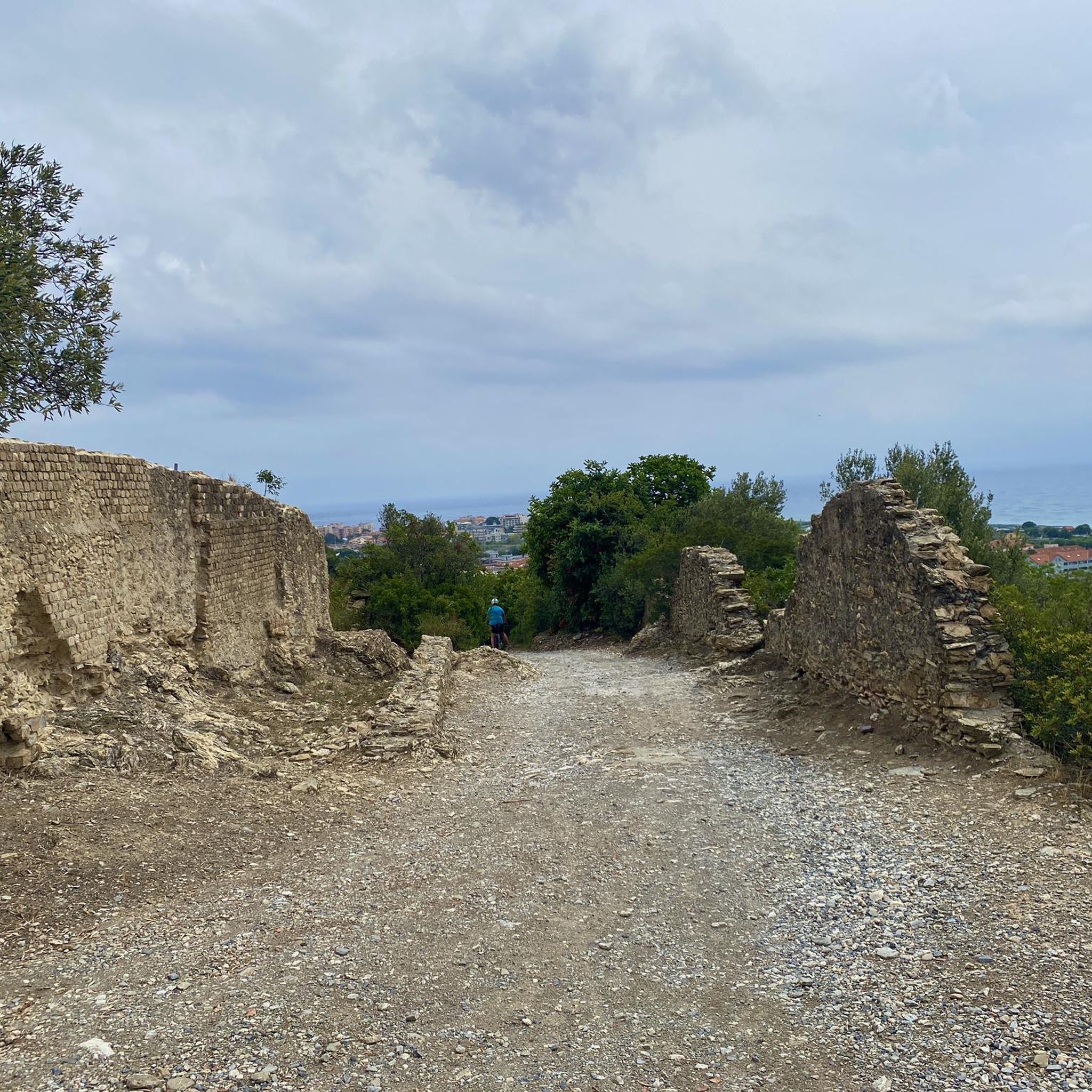
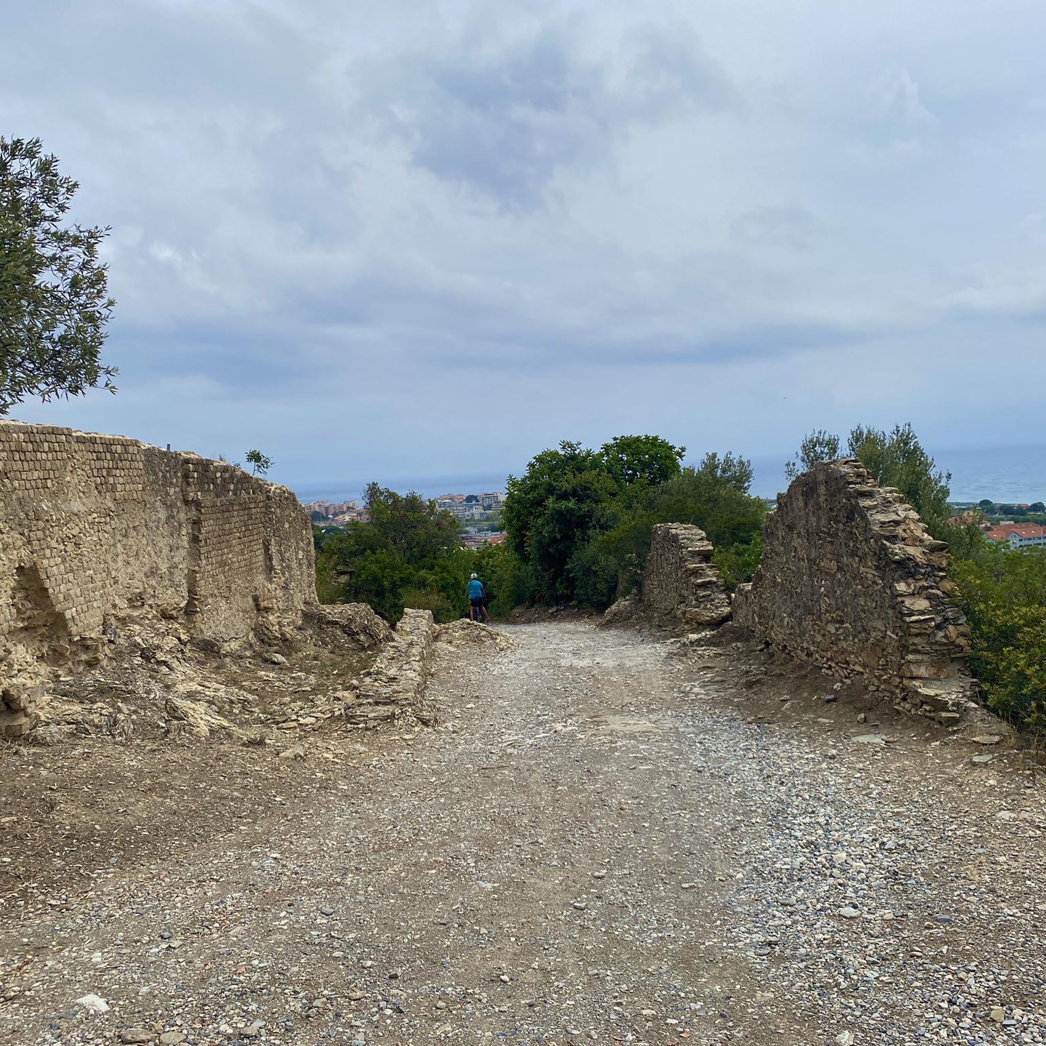
Many routes provide stunning vistas. The Monte Bignone – Necropoli romana loop from Albenga is particularly noted for its panoramic views of the Ligurian coast and historical sites. Trails leading to points like Pizzo Ceresa Summit Chapel and Monte Bignone also offer expansive views of the Ligurian Alps and the medieval historical center.
Are there any challenging mountaineering routes for experienced hikers?
For those seeking a more demanding experience, the Monte Croce – Monte Sopra Toirano loop from Ceriale is classified as difficult. This 7.8 km route involves significant elevation gain, providing a robust challenge.
What historical or natural landmarks can I see along the mountaineering routes?
The region is rich in points of interest. You can explore the ancient Roman road Via Julia Augusta Roman Road Remains, or discover charming settlements like Colla Micheri Medieval Village and Zuccarello Historic Village. The Rio Pennavaire stream also features small lakes and waterfalls, adding to the natural beauty.
Are there any circular mountaineering routes available?
Yes, many of the mountaineering routes around Albenga are designed as loops. Examples include the Monte Pesalto loop from Riserva Regionale di Rio Torsero, the Poggio Vallega – Monte Pisciavino loop from Alassio, and the Rocky Ridge View loop from Cisano sul Neva, all offering varied scenery.
What is the best season for mountaineering in Albenga?
Albenga's strategic location between the sea and mountains allows for year-round outdoor activities. Shaded sectors or higher elevations provide cool conditions in summer, while sunlit walls offer an ideal climate for mountaineering in winter. Spring and autumn generally offer pleasant temperatures for exploring.
Are there any routes that feature waterfalls or opportunities for wild swimming?
While specific wild swimming spots are not detailed for these mountaineering routes, the Rio Pennavaire stream, which flows through the valley, is known for its small lakes and waterfalls. Exploring trails near the river might offer opportunities to discover these natural features.
What do other mountaineers say about the routes in Albenga?
The mountaineering routes in Albenga are highly rated by the komoot community, with an average score of 5.0 stars. Users often praise the varied terrain, the stunning views of the Ligurian coast, and the well-maintained paths that cater to different ability levels.
How long do mountaineering routes near Albenga typically take to complete?
The duration varies depending on the route and your pace. Moderate routes like the Monte Pesalto loop typically take around 3 hours 42 minutes, while others such as the Poggio Vallega – Monte Pisciavino loop can take about 3 hours 49 minutes. More challenging routes may require longer.
Is public transport available to access mountaineering trailheads near Albenga?
While the guide focuses on the routes themselves, Albenga is a well-connected town. For specific public transport options to trailheads, it's advisable to check local bus schedules or regional train services that connect to smaller towns near the starting points of the routes.
Are there any less crowded mountaineering trails around Albenga?
While some routes are popular, the extensive network of trails in the Albenga hinterland means you can often find quieter paths. Exploring routes slightly off the main popular areas, or visiting during off-peak times, can lead to a more serene experience.
Most popular attractions around Albenga

Get inspired with the komoot mobile app


Explore more
Browse the best Mountain Hikes & Routes in other regions.
