Top 5 Mountain Hiking Trails around Margno
4.6
(5)
68
hikers
5
hikes
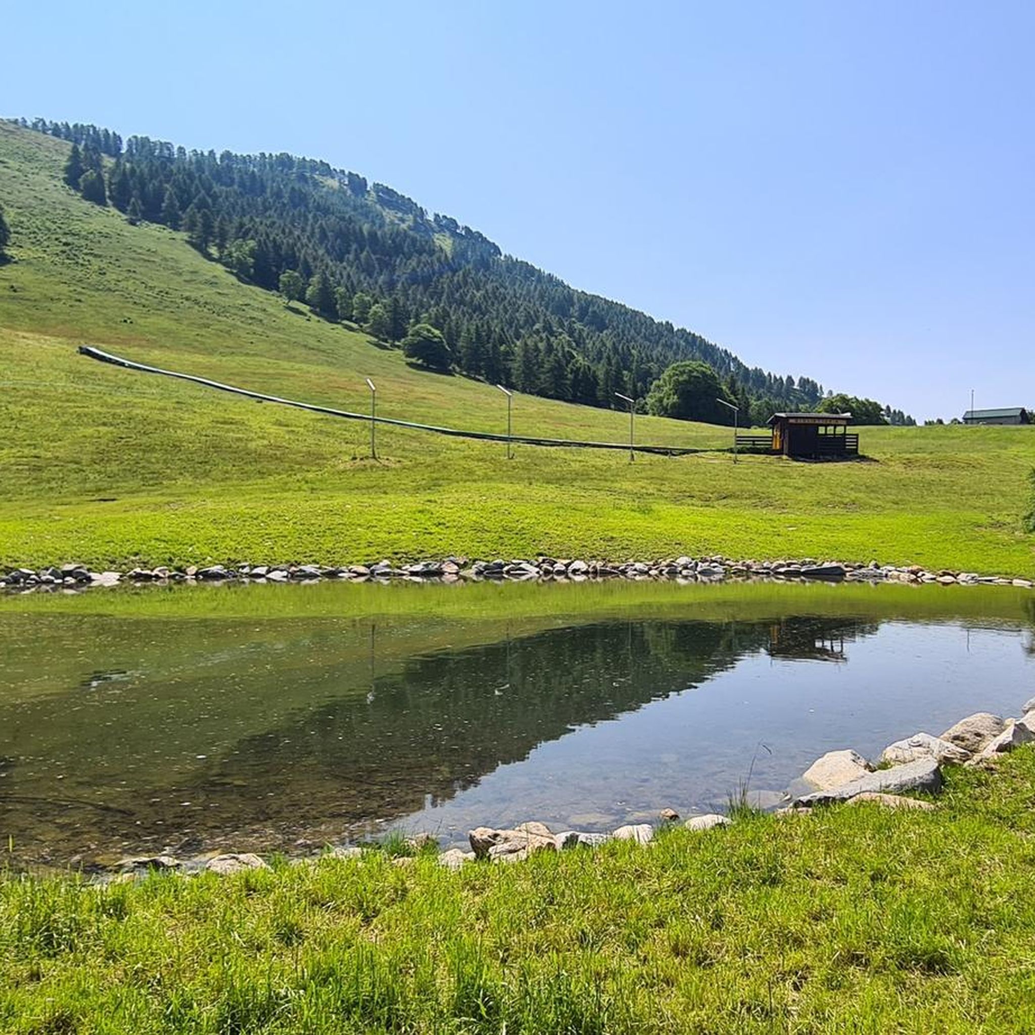
Mountaineering around Margno, nestled in Italy's Alta Valsassina region, offers diverse landscapes for outdoor enthusiasts. The area is characterized by a mountainous backdrop, including Monte Cimone, Grigna, Pizzi di Parlasco, Monte Muggio, and Monte Legnone. Prominent features include the alpine oasis of Pian delle Betulle at 1,501 meters, with its alpine lake and panoramic views, and the challenging Grigna Settentrionale. This region provides access to numerous peaks and a network of trails.
Best mountaineering routes around Margno
- The most popular…
Last updated: September 28, 2026
4.6
(5)
43
hikers
12.6km
07:32
1,030m
1,030m
Hard mountaineering route. Very good fitness required. Sure-footedness, sturdy shoes and alpine experience required.
9
hikers
6.84km
02:15
150m
150m
Hard mountaineering route. Good fitness required. Sure-footedness, sturdy shoes and alpine experience required.

4
hikers
12.6km
06:02
1,190m
1,190m
Hard mountaineering route. Very good fitness required. Mostly accessible paths. Sure-footedness required.
5
hikers
10.6km
04:26
810m
810m
Moderate mountaineering route. Good fitness required. Mostly accessible paths. Sure-footedness required.
5
hikers
Moderate mountaineering route. Good fitness required. Mostly accessible paths. Sure-footedness required.
Our route recommendations are based on thousands of hikes, rides, and runs completed by other people on komoot.
Start today with a free account
Your next adventure awaits.
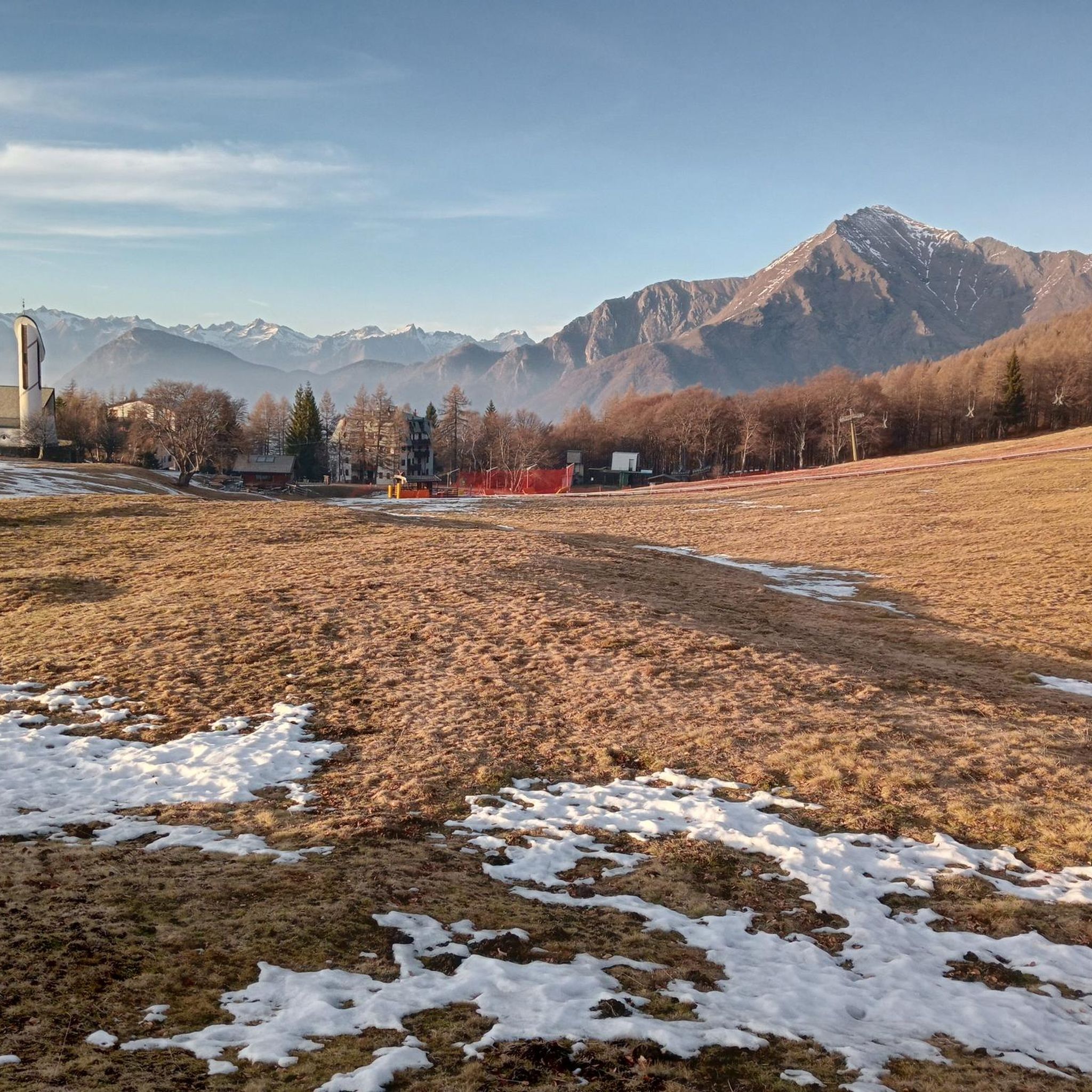
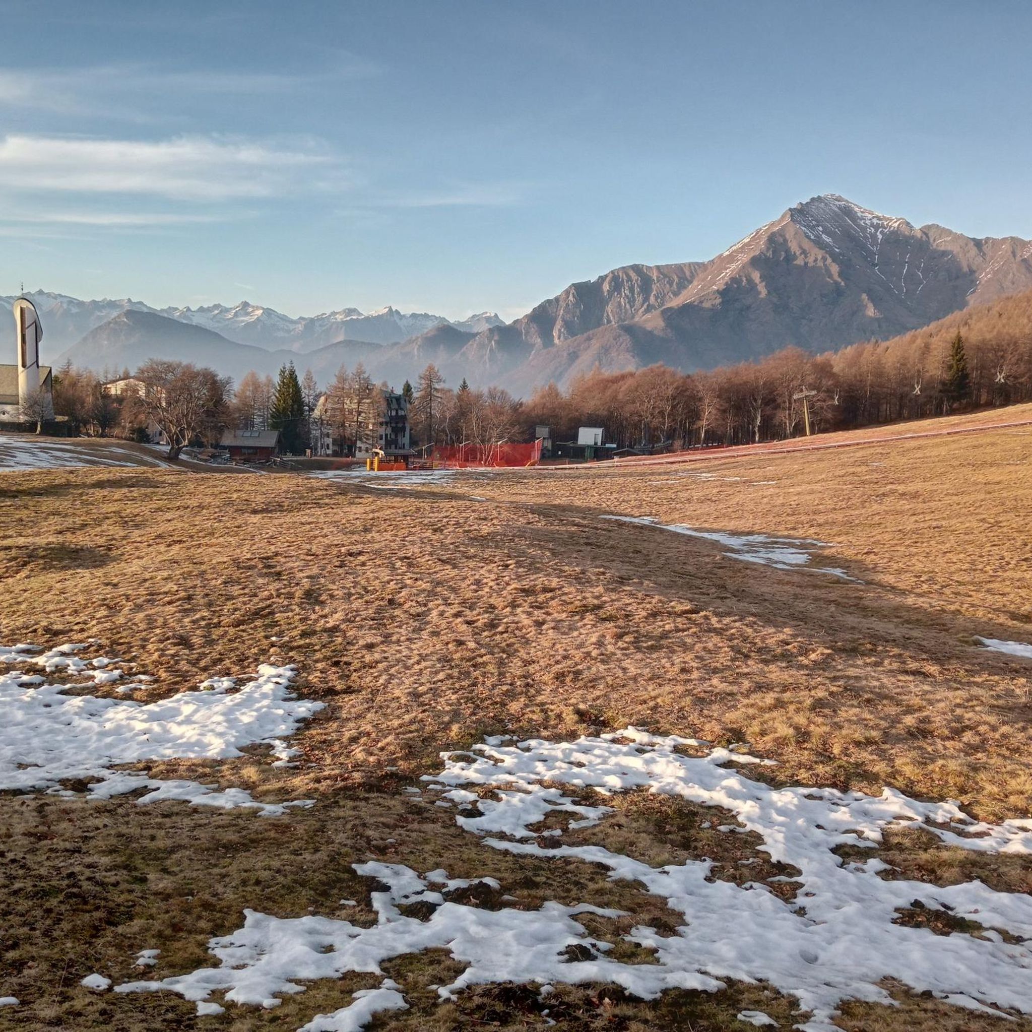
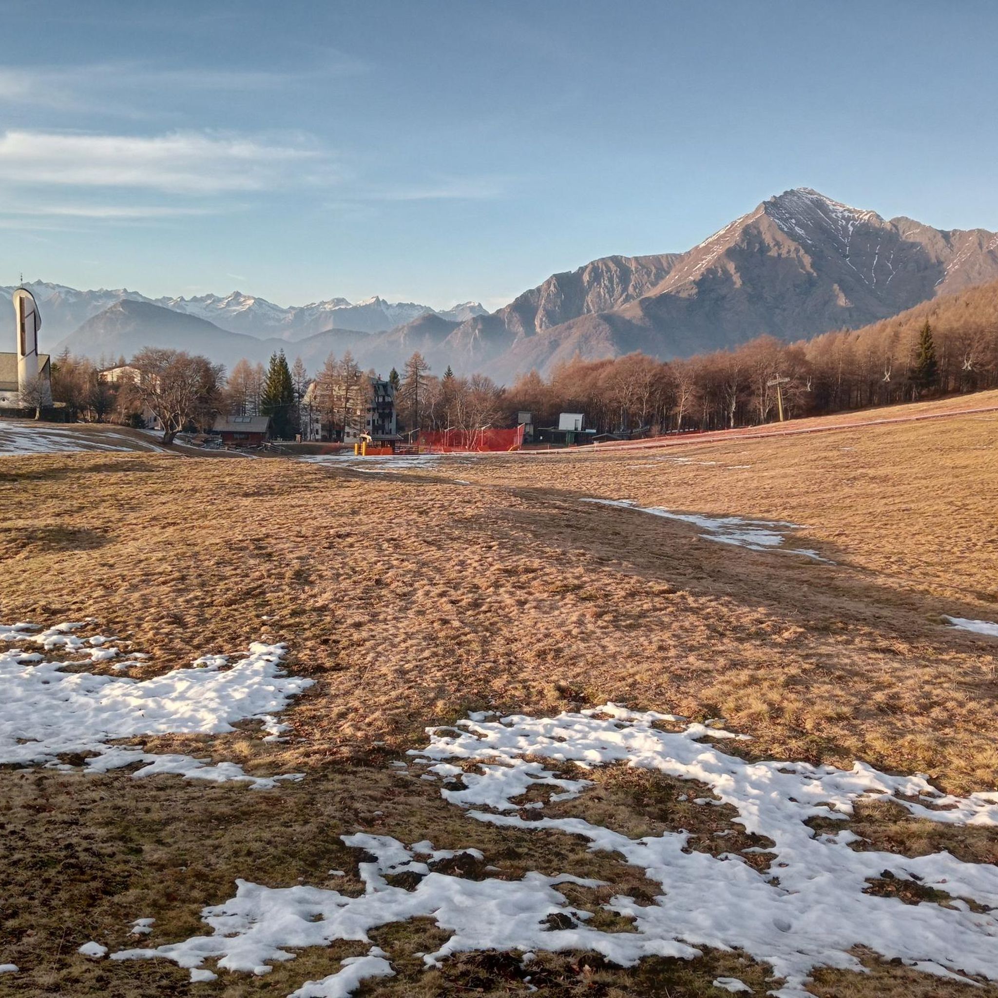
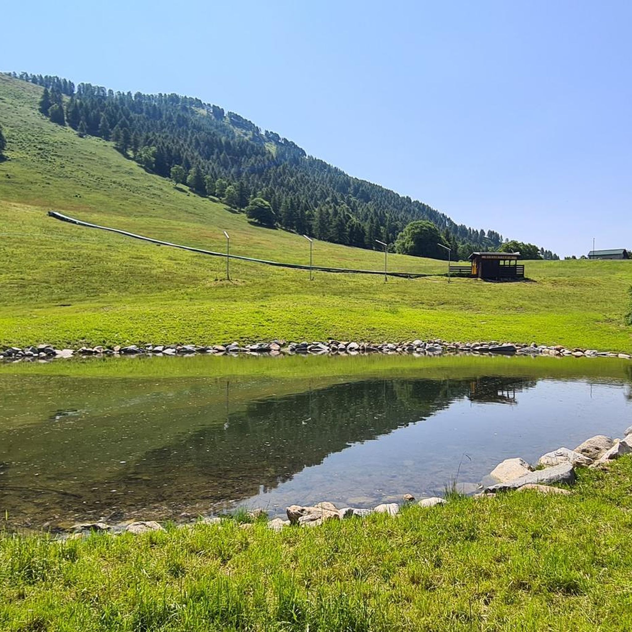

Tips from the Community

Site in a very beautiful and panoramic position
0
0
To be covered in winter
0
0

Beautiful view that you admire on the trail
0
0
You meet it at the crossroads for Porta di Prada and the Piancaformia ridge
0
0
This is the start for Grigna Settentrionale
0
0
We are now close to the Grigna, having done it both in summer and with snow, in both cases it is tiring and beautiful
0
0
Another junction found when going to the Bietti refuge
0
0
Great refuge, this year I found it closed due to a change in management. In November 2024, I ate a fantastic braised meat with polenta.
0
0
Frequently Asked Questions
What kind of mountaineering routes can I expect around Margno?
Margno, situated in Italy's Alta Valsassina, offers a diverse range of mountaineering experiences. You'll find routes leading to prominent peaks like Monte Legnone and through areas like the Grigna Settentrionale, featuring alpine lakes, mountain passes, and panoramic views. The trails vary in difficulty, providing options for both challenging ascents and more moderate paths.
Are there any family-friendly mountaineering options near Margno?
While many mountaineering routes in Margno are challenging, the area around Pian delle Betulle offers a more accessible starting point. From here, you can find easier treks that lead towards Val Marcia or explore the alpine oasis itself, which features an alpine lake and charming houses. For a different kind of family adventure, the Jungle Raider Park in Margno provides adventure paths suitable for children as young as three.
What are some notable natural features or viewpoints I can discover on these routes?
The region is rich in natural beauty. You can experience breathtaking views from Monte Legnoncino Summit Cross, which on clear days extends to Lake Como, Lake Lugano, and even Monte Rosa. The alpine oasis of Pian delle Betulle itself offers stunning vistas. For a route with exceptional lake views, consider the View of Lake Como – Alpe Chiaro loop from Alpe Giumello.
Are there any circular mountaineering routes available?
Yes, several routes in the Margno area are circular. For a challenging ascent to a prominent summit, you can try the Monte Legnone Summit loop from Valvarrone. Another option exploring unique rock formations is the Bocchetta di Prada (1,625 m) – The Friar and the Nun loop from Cortenova. For a route through the iconic Grigna Settentrionale area, consider the Bocchetta di Prada (1,625 m) – Prada Gate loop from Parco Regionale della Grigna Settentrionale.
What is the best time of year for mountaineering in Margno?
The best time for mountaineering in Margno is typically during the warmer months, from late spring to early autumn, when trails are clear of snow and weather conditions are more stable. During winter, areas like Pian delle Betulle transform into destinations for ski mountaineering and snowshoeing, offering different challenges.
What do other mountaineers say about the routes in Margno?
The mountaineering routes in Margno are highly regarded by the komoot community, with an average rating of 4.6 stars from over 30 reviews. Mountaineers often praise the varied terrain and the stunning panoramic views of the surrounding peaks and lakes.
Are there any mountain huts or refuges along the trails?
Yes, the region has several mountain huts that can serve as starting points or rest stops. The Roccoli Lorla Hut is a good base for hikes to Monte Legnone and Monte Legnoncino. For more challenging ascents in the Grigna Settentrionale, the historic Brioschi Hut at 2410 meters offers an iconic mountaineering experience.
Can I find any historical or cultural points of interest while mountaineering?
Beyond the natural landscapes, Margno's ancient origins are visible in its old town, with medieval streets and stone portals. You can explore historical tours like 'Antichi Portali' (Ancient Portals) and 'Siti dei Vecchi Mestieri' (Sites of the Old Crafts). The Parish Church of S. Bartolomeo, dating back to the 15th century, also features ancient artworks and frescoes.
Are there any routes that offer views of Lake Como?
Yes, several viewpoints and routes in the Margno area provide stunning glimpses of Lake Como. From Pian delle Betulle on a clear day, you can see Lake Como. For a dedicated route with lake views, consider the View of Lake Como – Alpe Chiaro loop from Alpe Giumello.
How many mountaineering routes are available around Margno?
There are over 8 mountaineering routes around Margno documented on komoot, offering a variety of experiences for different skill levels. These include challenging ascents to summits and scenic loops through alpine landscapes.
Are there any routes that lead to a summit?
Absolutely. A prominent summit route is the Monte Legnone Summit loop from Valvarrone, which offers a challenging ascent to Monte Legnone. You can also reach the Monte Legnoncino Summit Cross, a popular hiking destination with rewarding views.
What is the general difficulty level of mountaineering routes in Margno?
The mountaineering routes around Margno tend to be on the more challenging side. Out of the routes listed, the majority are classified as 'difficult', often involving significant elevation gain and longer durations. However, there are also some 'moderate' options available for those seeking less strenuous paths.
Most popular attractions around Margno

Get inspired with the komoot mobile app


Explore more
Browse the best Mountain Hikes & Routes in other regions.
