Top 5 Mountain Hiking Trails around Ponte San Pietro
24
hikers
4
hikes
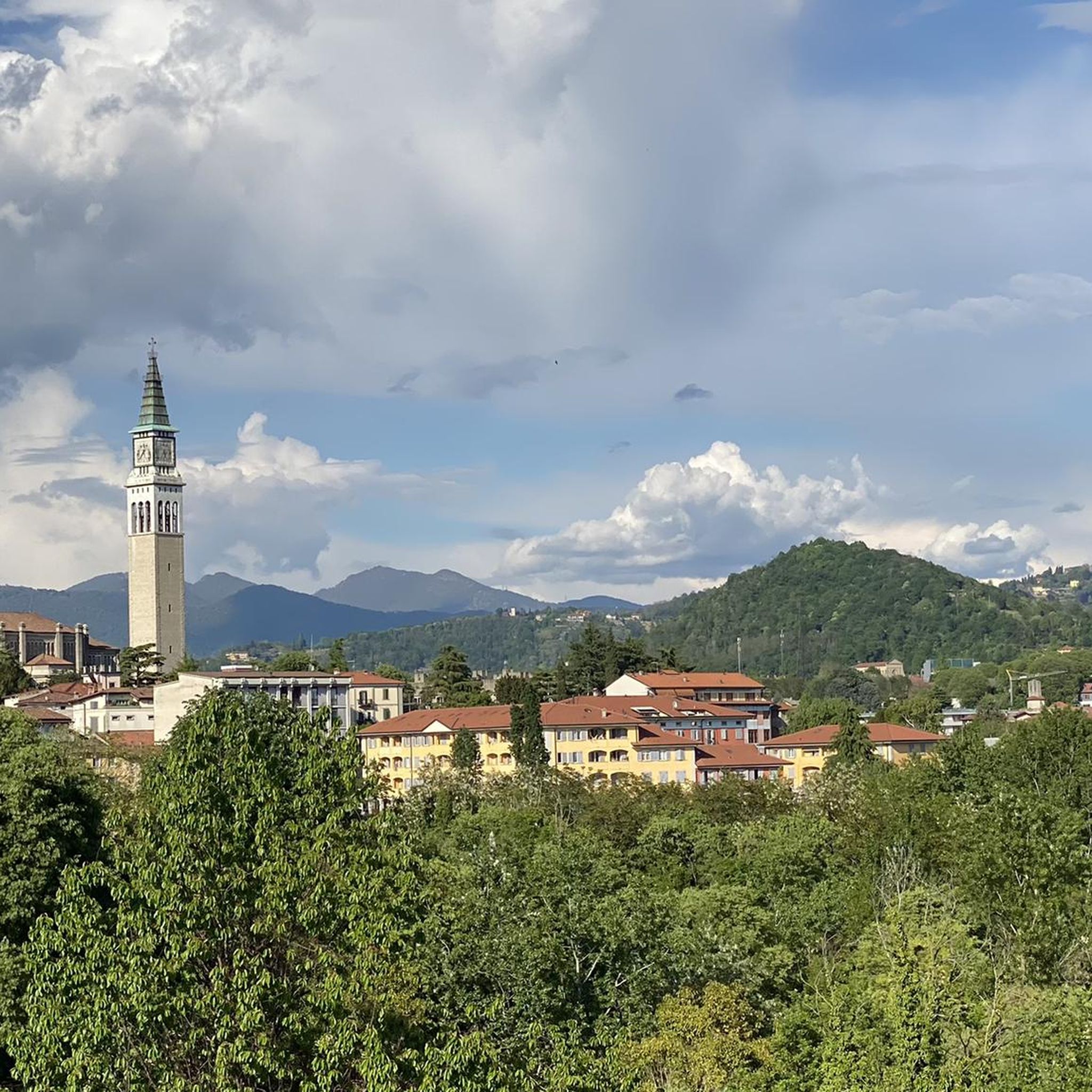
Mountaineering routes around Ponte San Pietro are situated in a region characterized by the foothills of the Bergamo Alps. The landscape features a mix of rolling hills, forested slopes, and prominent peaks that offer significant elevation gains. This area provides a challenging environment for experienced mountaineers, with routes often traversing varied terrain including rocky paths and dense woodlands. The proximity to the Brembana Valley further defines the rugged nature of the local mountains.
Best mountaineering routes around Ponte San Pietro
…Last updated: September 28, 2026
10
hikers
6.28km
02:41
510m
510m
Hard mountaineering route. Good fitness required. Sure-footedness, sturdy shoes and alpine experience required.
6
hikers
16.0km
06:08
1,070m
1,070m
Hard mountaineering route. Very good fitness required. Sure-footedness, sturdy shoes and alpine experience required.

5
hikers
17.4km
06:09
830m
830m
Hard mountaineering route. Very good fitness required. Sure-footedness, sturdy shoes and alpine experience required.
3
hikers
14.6km
05:43
830m
830m
Hard mountaineering route. Very good fitness required. Sure-footedness, sturdy shoes and alpine experience required.
Our route recommendations are based on thousands of hikes, rides, and runs completed by other people on komoot.
Start today with a free account
Your next adventure awaits.
Tips from the Community

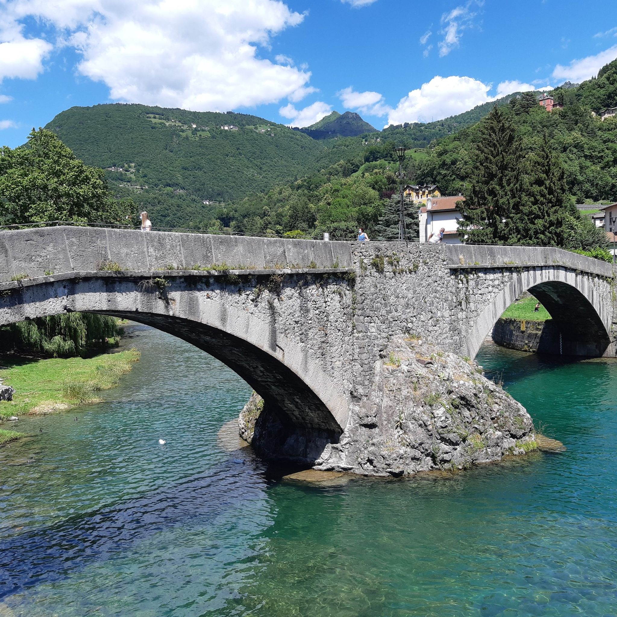
nice cave, about ten meters long, beautiful concretions.
0
0


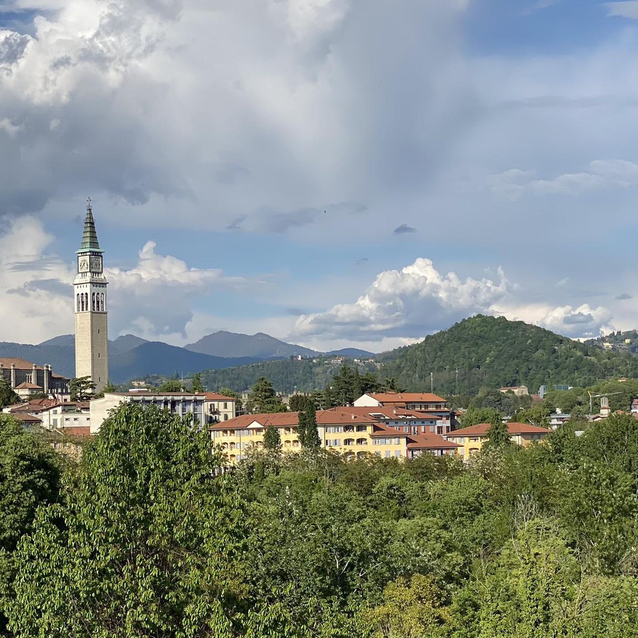
Stunning view of both the Imagna Valley and the Lecco area
0
0

From the ice cream shop/restaurant, you can access one of the most fun (and technical) trails in the area, the Agostini. It takes its name from the Bergamo motorcyclist champion, as at the end of the trail, on the right, you can see the racer's villa.
0
0
sanctuary church of Nazareth, from here take the path with yellow and blue markings
0
1

The most interesting thing about word games may be that they make people want to learn more about language and find new things. https://wordgames.gg
0
0
Frequently Asked Questions
What kind of mountaineering experience can I expect around Ponte San Pietro?
The mountaineering routes around Ponte San Pietro are situated in the foothills of the Bergamo Alps, offering a challenging environment for experienced mountaineers. You'll encounter varied terrain, including rocky paths, dense woodlands, and significant elevation gains, with rewarding views from prominent peaks like Monte Linzone and Canto Alto.
Are there any easy or beginner-friendly mountaineering routes in the Ponte San Pietro area?
The routes highlighted in this guide are generally considered difficult, featuring challenging ascents and varied terrain suitable for experienced mountaineers. If you're looking for easier options, you might consider exploring other sports or guides in the region that cater to less strenuous activities.
What are some of the longer and more challenging mountaineering routes available?
For those seeking a substantial challenge, the Monte Linzone loop from Almenno San Salvatore is a difficult 16.1 km trail that includes over 1000 meters of elevation gain. Another demanding option is the Campanua – Canto Alto loop from Torre Boldone, spanning 17.3 km with significant ascents through mountain forests and open ridges.
Can I find circular mountaineering routes near Ponte San Pietro?
Yes, all the mountaineering routes featured in this guide are circular loops, allowing you to start and finish at the same point. For example, the Monte Linzone loop from Roncola offers a challenging ascent with rewarding views, bringing you back to your starting point.
What are some notable peaks or landmarks I might encounter on these routes?
Many routes offer views of or pass by significant local peaks. You might reach the Canto Alto Summit or the Monte Linzone Summit. Other points of interest include the Croce dei Morti Chapel, which can be a serene stop along your journey.
Is the Ponte San Pietro area suitable for family mountaineering trips?
Given that all the mountaineering routes in this guide are rated as difficult, they are generally more suited for experienced adults rather than families with young children. The terrain often involves significant elevation changes and challenging paths. For family-friendly outdoor activities, you might consider exploring less strenuous hiking or cycling options in the broader Bergamo region.
What is the best time of year for mountaineering around Ponte San Pietro?
The best time for mountaineering in the Bergamo Alps foothills, including Ponte San Pietro, is typically from late spring through early autumn (May to October). During these months, the weather is generally more stable, and trails are clear of snow, offering optimal conditions for challenging ascents and panoramic views. Always check local weather forecasts before heading out.
Are there any routes that offer views of both Monte Linzone and Monte Tesoro?
Yes, the Monte Linzone – Monte Tesoro loop from Roncola is a challenging 14.5 km route that allows you to experience both of these prominent peaks. This trail provides extensive views of the surrounding valleys and the rugged landscape of the Bergamo Alps.
What kind of gear should I bring for mountaineering in this region?
Given the difficult nature of these routes, it's essential to be well-prepared. You should bring sturdy mountaineering boots, appropriate layered clothing for varying weather conditions, a backpack with sufficient water and snacks, navigation tools (like a map, compass, or GPS device), and a first-aid kit. Trekking poles can also be beneficial on steep or uneven terrain.
Are there any specific attractions or points of interest near the mountaineering trails?
Beyond the mountain peaks themselves, the region offers cultural highlights. You could explore the historic Streets of Bergamo's Città Alta or visit the impressive Basilica of Santa Maria Maggiore (Bergamo). These are excellent options for combining your mountaineering trip with some local sightseeing.
What do other mountaineers enjoy most about the routes near Ponte San Pietro?
Mountaineers using komoot frequently praise the challenging nature of the routes and the rewarding panoramic views from peaks like Monte Linzone and Canto Alto. The varied terrain, from forested sections to open ridges, also contributes to a diverse and engaging experience for those seeking a true mountain adventure.
Is there public transport access to the starting points of these mountaineering routes?
While specific public transport details for each trailhead are not provided, many routes start from towns like Roncola, Sorisole, Almenno San Salvatore, or Torre Boldone. It is advisable to check local bus schedules or regional train connections to these towns, as public transport options can vary and may require additional walking to reach the exact trailhead.
Are there opportunities for wild swimming near the mountaineering areas?
While the immediate mountaineering routes around Ponte San Pietro are primarily focused on mountain ascents, the broader region of Lombardy, including areas like the Brembana Valley, does offer rivers and lakes where wild swimming might be possible. However, specific wild swimming spots directly adjacent to these particular mountaineering trails are not highlighted in the guide. Always check local regulations and safety conditions before swimming in natural waters.
Most popular routes around Ponte San Pietro
Most popular attractions around Ponte San Pietro

Get inspired with the komoot mobile app


Explore more
Browse the best Mountain Hikes & Routes in other regions.
