The best mountain hikes around Plaisians
5.0
(3)
26
hikers
3
hikes
Mountaineering routes around Plaisians are primarily situated in the Mont Ventoux region, characterized by its distinctive bare limestone summit and surrounding alpine forests. The terrain offers a mix of challenging ascents and panoramic ridge walks, providing extensive views of the surrounding landscape. The area features significant elevation changes, making it suitable for those seeking a true mountain experience.
Best mountaineering routes around Plaisians
- The most popular mountaineering route is Pass of Storms – Grand panorama loop from Mont Ventoux,…
Last updated: August 18, 2026
5.0
(1)
11
hikers
14.3km
04:37
620m
620m
Moderate mountaineering route. Good fitness required. Easily-accessible paths. Suitable for all skill levels.
5.0
(1)
10
hikers
15.6km
05:11
750m
750m
Hard mountaineering route. Very good fitness required. Easily-accessible paths. Suitable for all skill levels.

Sign up for free
5.0
(1)
5
hikers
9.22km
03:09
490m
490m
Moderate mountaineering route. Good fitness required. Easily-accessible paths. Suitable for all skill levels.
Our route recommendations are based on thousands of hikes, rides, and runs completed by other people on komoot.
Start today with a free account
Your next adventure awaits.
Login or Signup
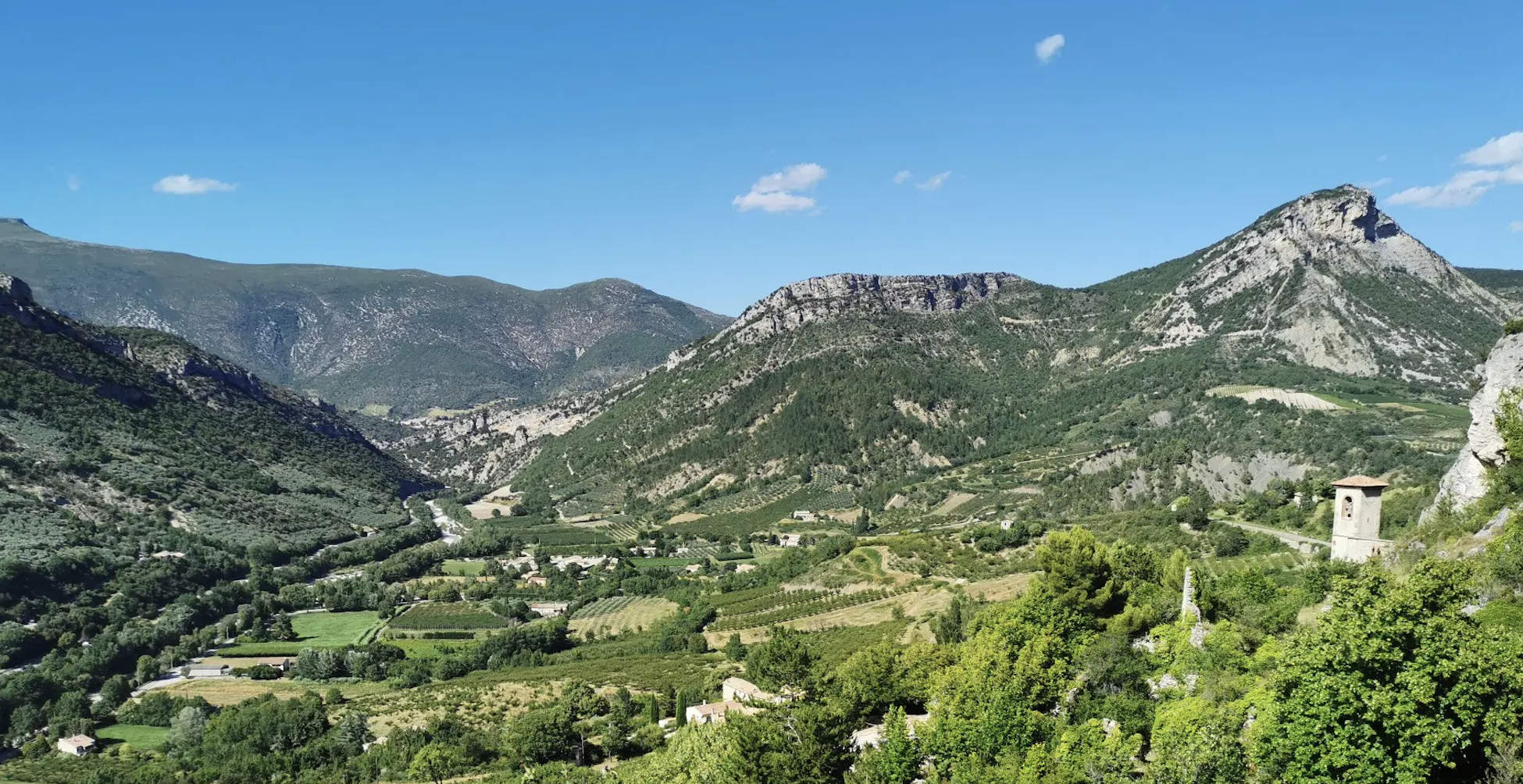
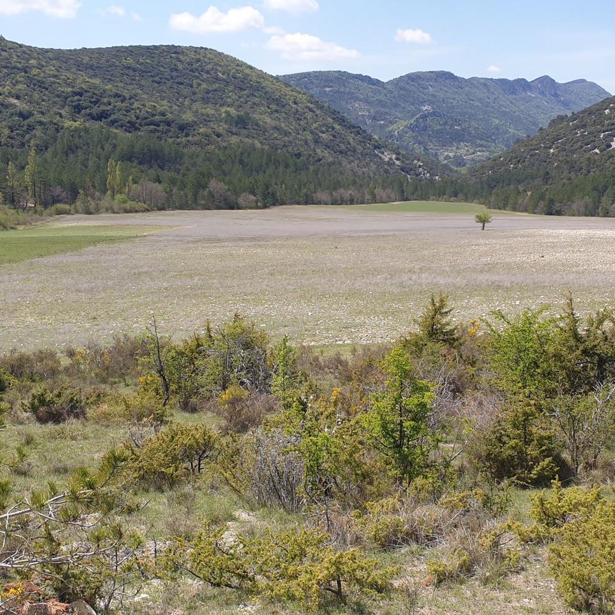
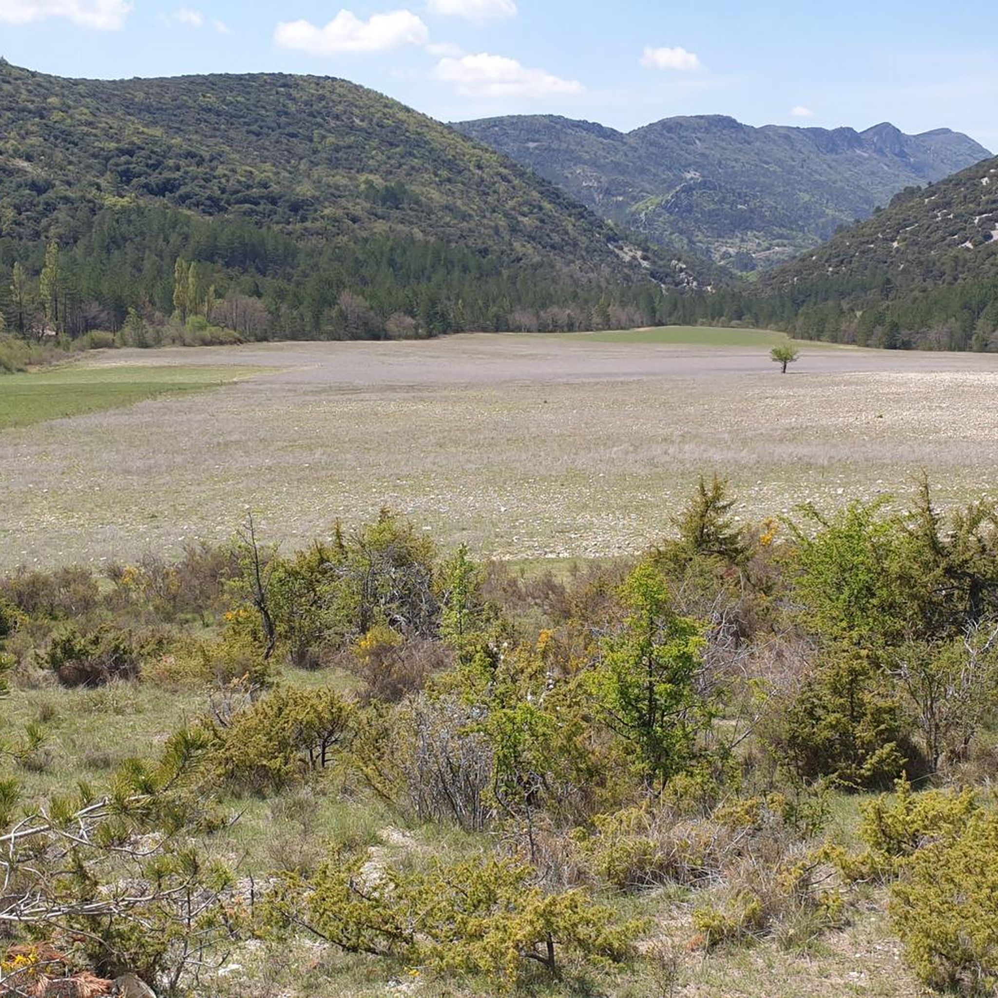
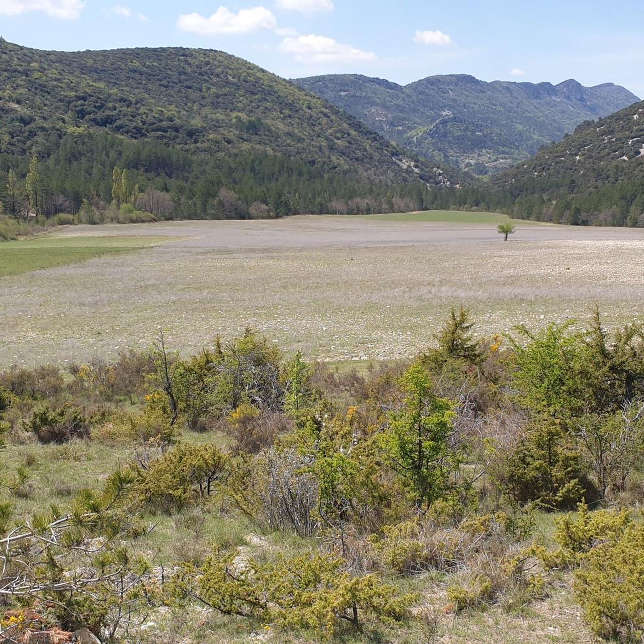
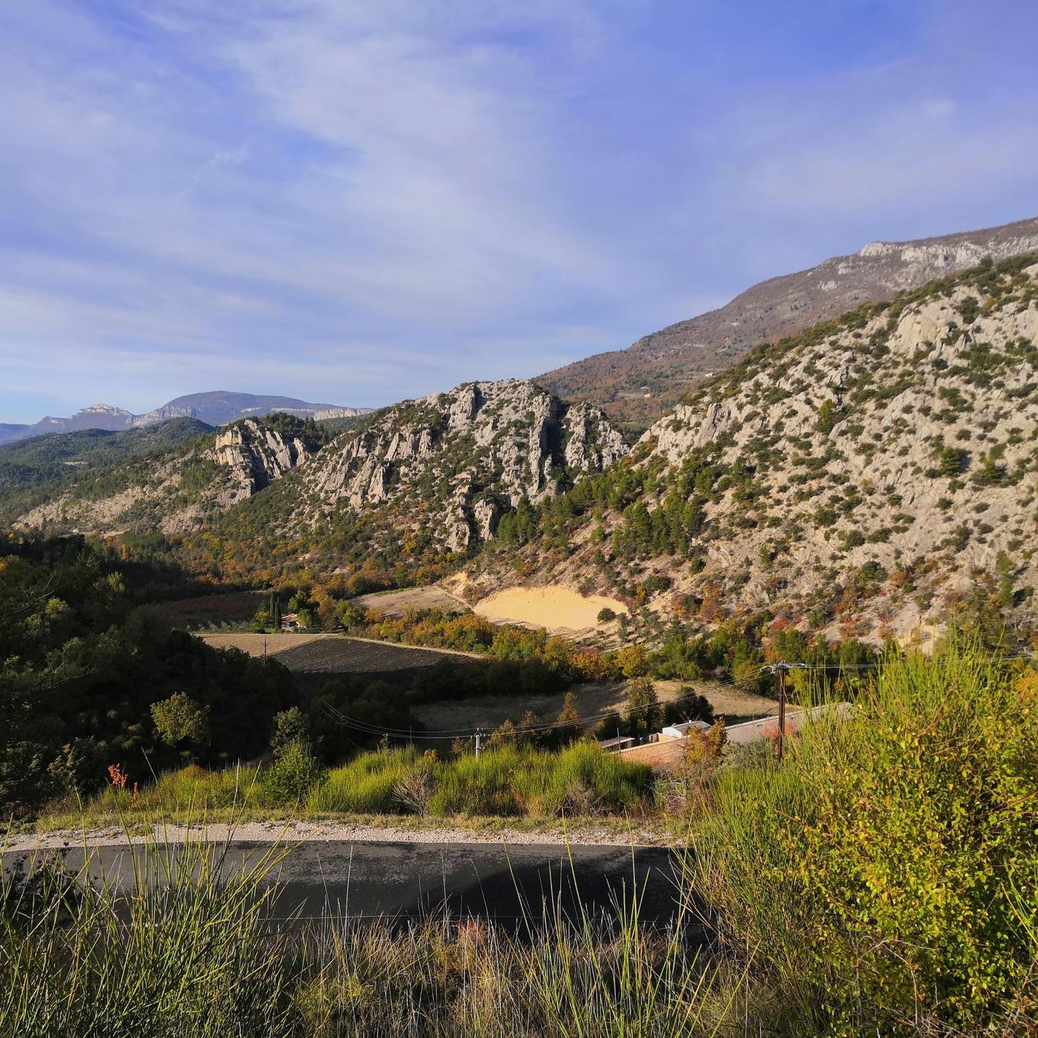
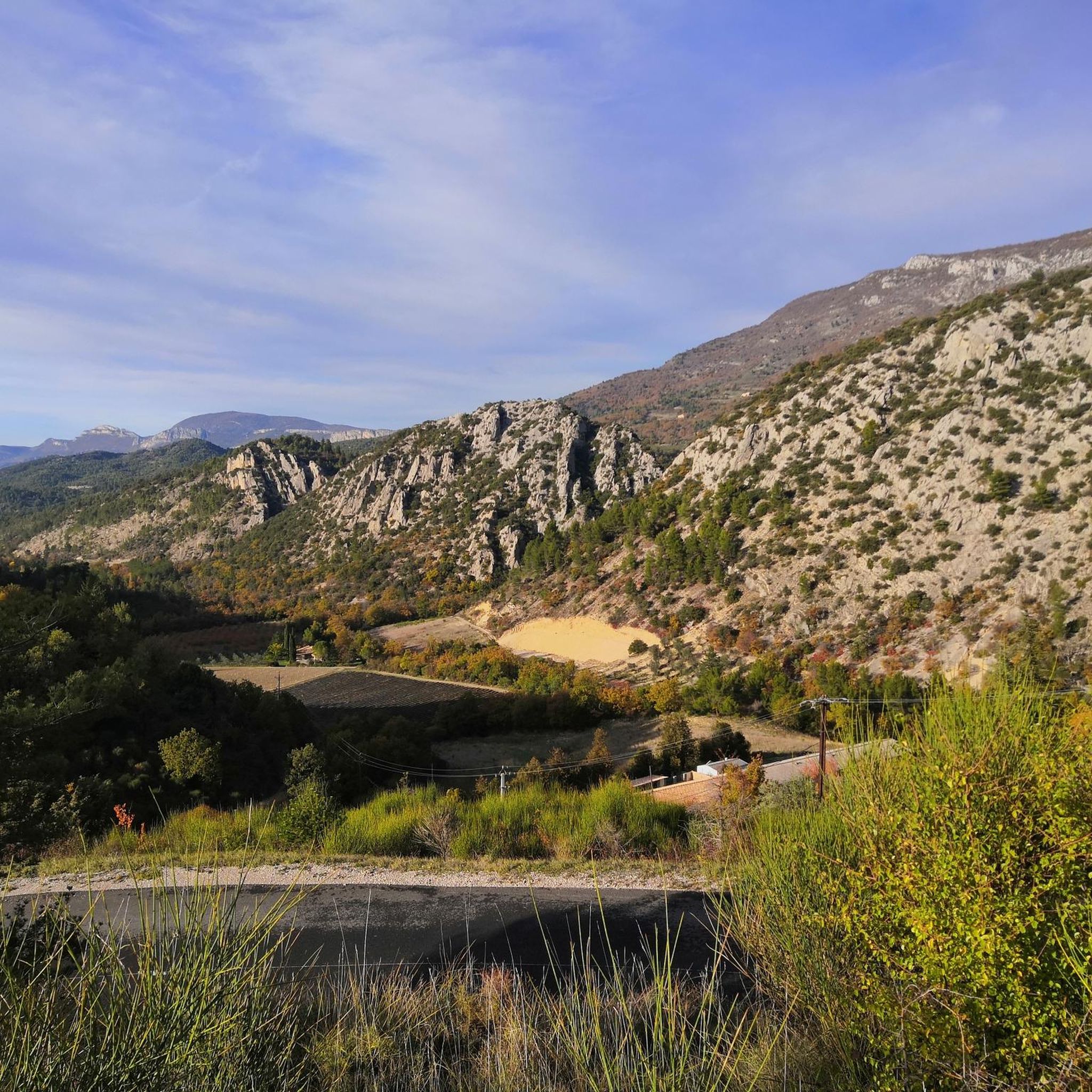
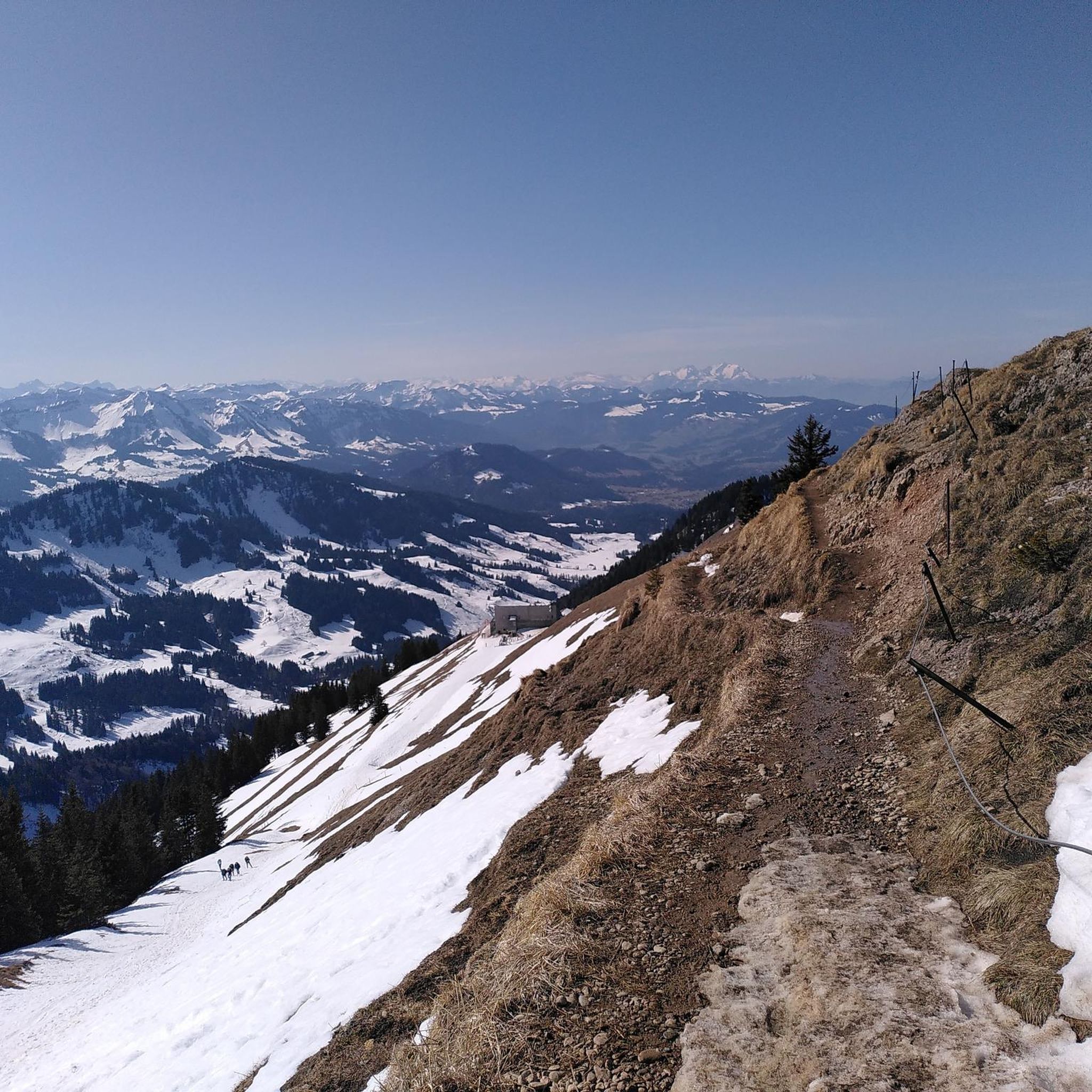
Other adventures around Plaisians

Tips from the Community

From the summit of Ventoux, numerous viewpoints allow you to admire the natural parks of the Baronnies, Ventoux, or the Luberon. Here, you are facing the Écrins massif which literally unfolds before your eyes.
0
0

Spectacular view from this point.
8
0
The view from the top is sublime.
4
0
Finish line , if you see it, you've made it.
7
1

An iconic passage along the ridge, between scree and clearings. Here, you can breathe in the altitude and enjoy a first wide panorama towards the Baronnies and the Lure mountain.
0
0

Beautiful trails, I recommend it, but you need to be in good physical condition 😆🤪💪💪
0
0

Small Chapel with a panoramic view to the magnificent cross
1
0

The wind can be strong
0
0
Frequently Asked Questions
What are the typical difficulties and distances of mountaineering routes around Plaisians?
The mountaineering routes in the Plaisians area, primarily around Mont Ventoux, range from moderate to difficult. You'll find routes like the Pass of Storms – Grand panorama loop from Mont Ventoux, which is 8.6 miles (13.8 km) and moderate, to more challenging options such as the Pass of Storms – Grand panorama loop from Chalet Reynard, which covers 9.6 miles (15.5 km) and is rated difficult.
Are there any challenging mountaineering routes for experienced hikers in Plaisians?
Yes, for experienced mountaineers seeking a challenge, the Pass of Storms – Grand panorama loop from Chalet Reynard is a difficult route spanning 9.6 miles (15.5 km) with significant elevation changes, offering a true mountain experience.
What is the best time of year for mountaineering around Plaisians?
The best seasons for mountaineering around Plaisians are typically spring and autumn. During these times, the weather is generally more stable and temperatures are pleasant. Summer can be very hot, especially on the exposed slopes of Mont Ventoux, and winter can bring strong winds, snow, and ice, requiring specialized gear and experience.
What are the conditions like for mountaineering in winter around Plaisians?
Winter mountaineering around Plaisians, particularly on Mont Ventoux, can be challenging. The summit is known for strong winds, and snow and ice are common. Conditions can change rapidly, so proper winter mountaineering gear, experience, and checking local weather forecasts are essential.
What kind of gear should I bring for mountaineering in Plaisians?
Given the varied terrain and potential for exposure on Mont Ventoux, it's advisable to bring sturdy hiking boots, layered clothing suitable for changing weather, sun protection (even in cooler months), sufficient water, and navigation tools. For winter, additional gear like crampons, an ice axe, and warm, windproof clothing may be necessary.
Are there any loop mountaineering routes around Plaisians?
Yes, several mountaineering routes around Plaisians are designed as loops. Examples include the Pass of Storms – Grand panorama loop from Mont Ventoux, the Summit of Mont Ventoux loop from Mont Ventoux, and the Mountaineering loop from Mont Ventoux. These offer the convenience of starting and ending at the same point.
Where can I park when starting a mountaineering route near Plaisians?
Many mountaineering routes in the Plaisians area, especially those exploring Mont Ventoux, often start from well-known points like the Mont Ventoux summit area itself or Chalet Reynard. These locations typically offer parking facilities for hikers.
What can I see along the mountaineering routes around Plaisians?
The routes offer extensive views of the surrounding landscape, including the distinctive bare limestone summit of Mont Ventoux. You can also encounter natural landmarks such as the Mont Ventoux summit itself, the Pass of Storms, and the Fontaube Pass. Some routes might also pass by the Entrance to the Toulourenc Gorges or the Baume des Eyguiers Grotto.
What do other mountaineers enjoy the most about mountaineering in Plaisians?
The mountaineering routes around Plaisians are highly rated by the komoot community, with an average score of 4.8 stars. Reviewers often praise the expansive panoramic views from the Mont Ventoux summit area and the direct experience of its unique, exposed landscape.
Are there any less crowded mountaineering routes around Plaisians?
While the Mont Ventoux summit can be popular, exploring routes that start from slightly less central points, such as the Pass of Storms – Grand panorama loop from Chalet Reynard, might offer a more serene experience, especially during off-peak hours or seasons. The area's network of trails provides options to spread out.
Are the mountaineering routes around Plaisians suitable for families?
The mountaineering routes around Plaisians are generally rated moderate to difficult, featuring significant elevation changes and exposed terrain. While suitable for active families with older, experienced children, they may not be ideal for very young children or those new to mountaineering. It's best to assess each route's difficulty and your family's fitness level carefully.
Do I need a permit for mountaineering in the Plaisians area?
Generally, specific permits are not required for mountaineering on the established trails around Plaisians and Mont Ventoux. However, it's always advisable to check for any local regulations or restrictions, especially during specific seasons or events, and to respect protected natural areas.
Most popular routes around Plaisians
Most popular attractions around Plaisians

Get inspired with the komoot mobile app


Explore more
Browse the best Mountain Hikes & Routes in other regions.
