The best mountain hikes around Grospierres
4.9
(8)
23
hikers
8
hikes
Mountaineering routes around Grospierres traverse a landscape characterized by limestone cliffs, river gorges, and Mediterranean vegetation. The region is known for its dramatic natural arches and historic cave systems, offering varied terrain for exploration. Elevation changes are moderate, with routes often following the contours of the Ardèche River and its tributaries.
Best mountaineering routes around Grospierres
- The most popular mountaineering route is Le Pont d'Arc – Grotte Chauvet loop from Grotte Chauvet, a 4.6 miles (7.5 km) trail that…
Last updated: July 9, 2026
4.7
(3)
8
hikers
12.4km
04:06
360m
360m
Moderate mountaineering route. Good fitness required. Mostly accessible paths. Sure-footedness required.
5.0
(1)
3
hikers
8.33km
02:39
280m
280m
Moderate mountaineering route. Good fitness required. Mostly accessible paths. Sure-footedness required.

Sign up for free
5.0
(1)
2
hikers
Moderate mountaineering route. Good fitness required. Mostly accessible paths. Sure-footedness required.
1
hikers
5.39km
01:47
120m
120m
Hard mountaineering route. Great for any fitness level. Sure-footedness, sturdy shoes and alpine experience required.
2
hikers
4.81km
01:22
50m
50m
Moderate mountaineering route. Great for any fitness level. Mostly accessible paths. Sure-footedness required.
Get access to more routes and recommendations from other explorers.
Sign up for free
Already have an account?
Our route recommendations are based on thousands of hikes, rides, and runs completed by other people on komoot.
Start today with a free account
Your next adventure awaits.
Login or Signup

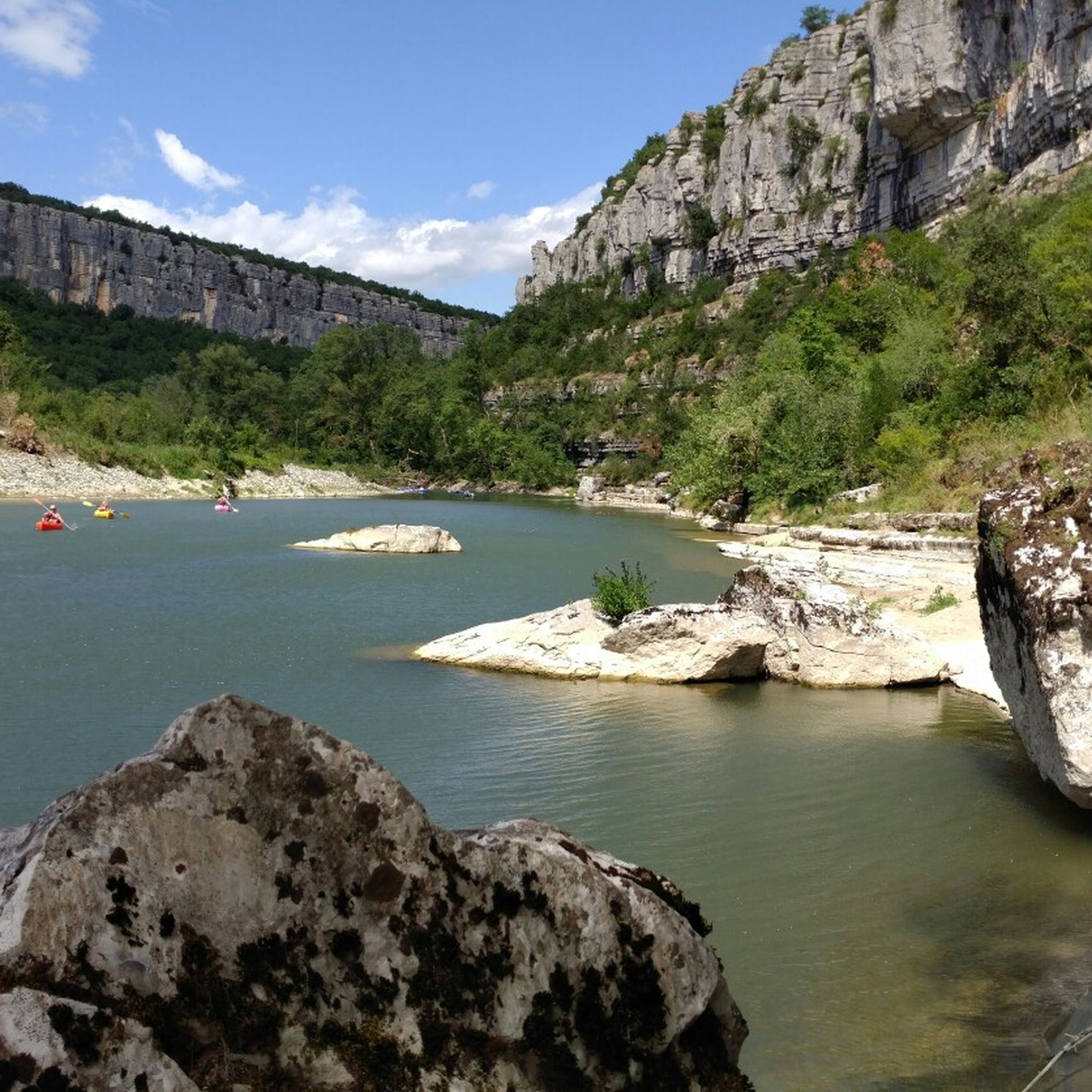
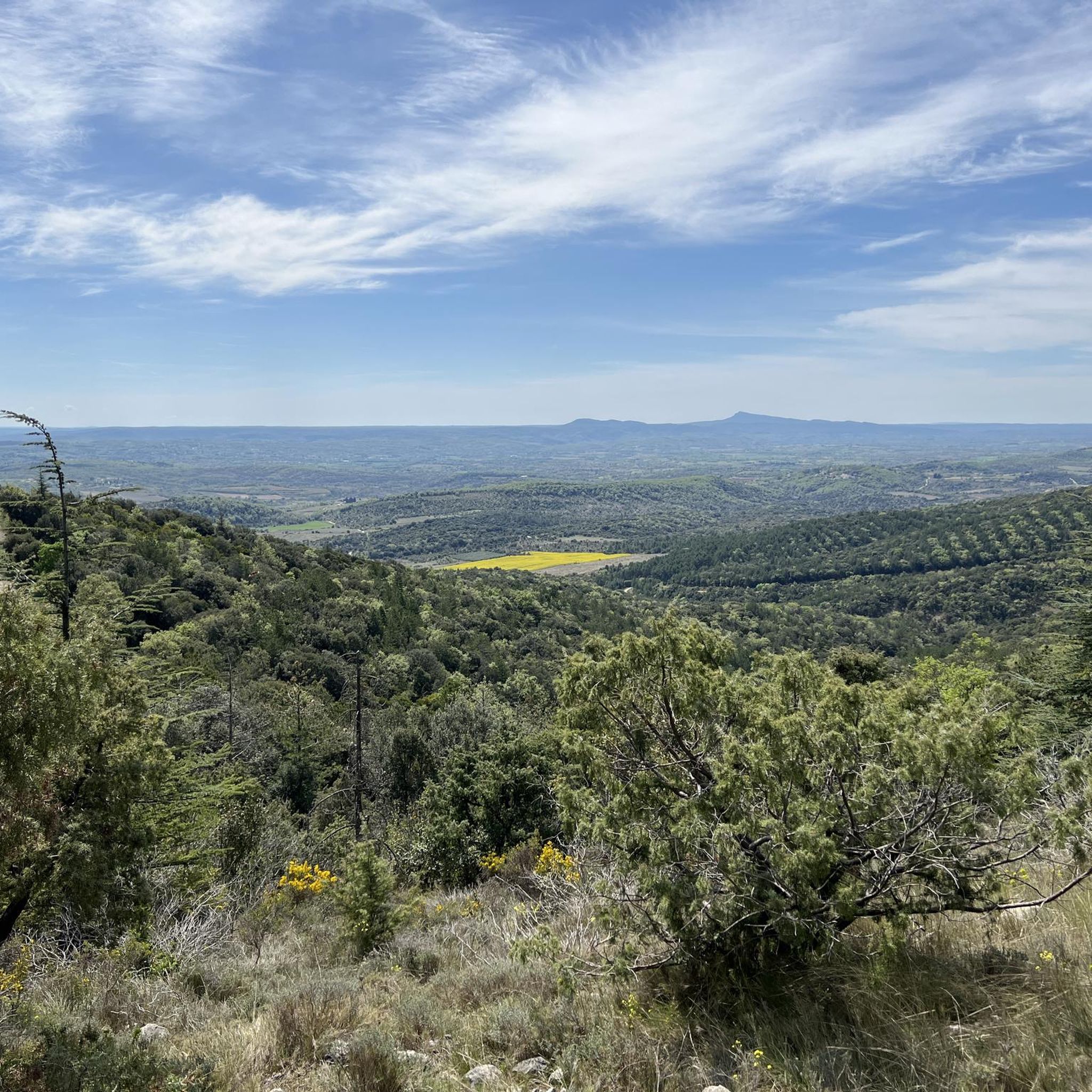
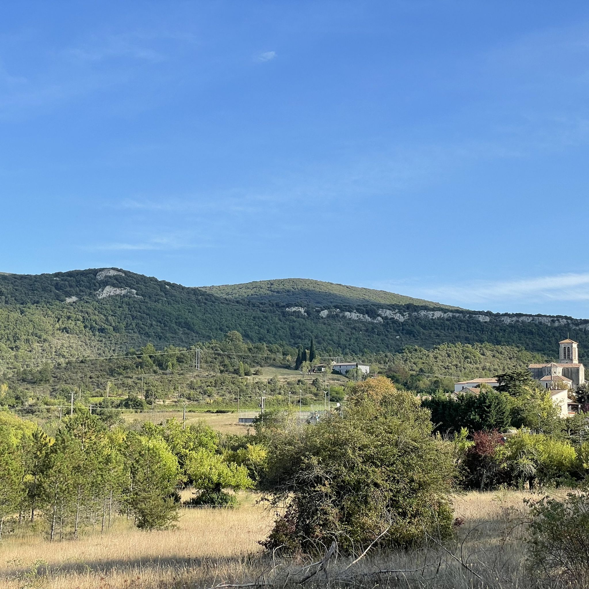
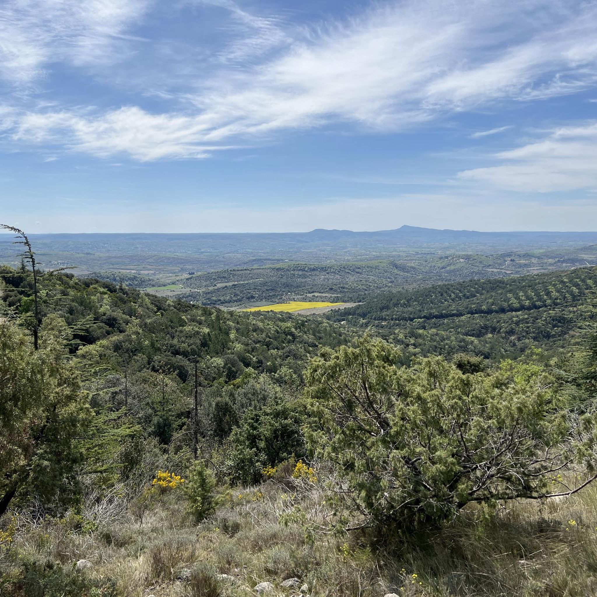
Other adventures around Grospierres

Tips from the Community

The forest offers not only the road to pass through, but above all beautiful hiking trails and challenging MTB trails.
0
0

Just step off the path and you will find yourself in a beautiful lavender field.
0
0

Be sure to follow the trail markings to make sure you find your way through the maze of paths.
0
0

Excellent hike, to get there, routes are marked from the parking lots.
2
0
Magnificent, view of the Chassezac and the Lou Rouchetou campsite. The campsite offers excellent pizzas 👌
2
0

Be careful, this outing is done on a motorbike!!
0
0

In addition to the magnificent terrain it provides for mountain biking, this small path which starts at the bottom of the valley offers a beautiful view of the Sampzon estate and its gîtes from its first few metres.
1
0

Beautiful view of the small medieval village of Chassagnes, the Bois de Païolive and the Chassezac valley. In the distance you can see the volcanoes of Auvergne.
2
0
Frequently Asked Questions
What are the different difficulty levels for mountaineering routes around Grospierres?
The mountaineering routes around Grospierres primarily feature moderate difficulty. Out of the 9 available routes, 8 are classified as moderate, and there is 1 challenging route. There are no easy routes listed, so even moderate routes may require a reasonable level of fitness.
What is the typical duration for mountaineering trails near Grospierres?
The duration for mountaineering trails in Grospierres varies. For example, the Le Pont d'Arc – Grotte Chauvet loop from Grotte Chauvet typically takes about 2 hours 30 minutes. Longer routes, such as the View of the Pont d'Arc – Cirque d'Estre loop from Vallon-Pont-d'Arc, can take around 4 hours.
Are there any challenging mountaineering routes around Grospierres?
Yes, there is one challenging mountaineering route available: the Rieussec Dry Riverbed loop from Vallon-Pont-d'Arc. This route is 3.3 miles (5.4 km) long and involves an elevation gain of approximately 125 meters, offering a more demanding experience.
Are there family-friendly mountaineering options in Grospierres?
While there are no routes specifically classified as 'easy', many of the moderate routes are suitable for families with some hiking experience. The Le Pont d'Arc – Grotte Chauvet loop from Grotte Chauvet, at 4.6 miles (7.5 km) and taking about 2 hours 30 minutes, could be a good option for active families.
What viewpoints or natural attractions can I see along the mountaineering routes?
The routes often offer stunning views and pass by significant natural landmarks. You can expect to see the iconic Pont d'Arc, the dramatic Cirque de Gens (Ardèche), and various limestone formations. Some routes also provide panoramic views overlooking the Ardèche River, such as the View of Sampzon – La Bastide Ardèche loop from Sampzon.
Are there circular mountaineering routes available in Grospierres?
Yes, all the mountaineering routes listed in this guide are circular loops, meaning you will finish your hike at your starting point. This includes popular options like the Small cave for the curious – View of the Chassezac River loop from Les Borels.
What is the best season for mountaineering near Grospierres?
Given the Mediterranean climate, spring and autumn are generally the best seasons for mountaineering in Grospierres. The weather is typically mild, and the landscapes are vibrant. Summer can be very hot, making early morning or late afternoon hikes preferable, while winter can bring cooler temperatures but often remains suitable for hiking.
What do other mountaineers enjoy most about the routes in Grospierres?
The mountaineering routes in Grospierres are highly rated by the komoot community, with an average score of 4.9 stars from over 8 reviews. Mountaineers often praise the varied terrain, the stunning views of the Ardèche River and its gorges, and the unique limestone formations, including natural arches and historic cave systems.
Do I need a permit for mountaineering in Grospierres?
Generally, permits are not required for mountaineering on the established trails around Grospierres. However, it's always advisable to check local regulations, especially if you plan to explore protected natural areas or specific cave systems, as access might be restricted or require prior authorization.
What essential gear should I bring for mountaineering in Grospierres?
For mountaineering in Grospierres, essential gear includes sturdy hiking boots, sufficient water, sun protection (hat, sunscreen), and appropriate clothing layers for changing weather conditions. A map or GPS device is also recommended, along with snacks and a first-aid kit. If exploring caves, a headlamp might be useful.
Are there wild swimming spots near the mountaineering routes in Grospierres?
Yes, the Grospierres region is known for its proximity to the Ardèche River and its tributaries. After a mountaineering route, you can often find refreshing spots for wild swimming, particularly near the Pont d'Arc or along the banks of the Ardèche, where designated swimming areas are popular during warmer months.
Can I access mountaineering routes in Grospierres using public transport?
Public transport options directly to all trailheads in Grospierres can be limited. While some larger towns like Vallon-Pont-d'Arc may have bus services, reaching specific, more remote starting points often requires a car. It's best to check local bus schedules if you plan to rely on public transport.
Where can I find parking and trailhead access for mountaineering routes in Grospierres?
Parking is generally available near the starting points of the routes, especially in villages like Vallon-Pont-d'Arc or Sampzon. For instance, the Le Pont d'Arc – Grotte Chauvet loop starts from Grotte Chauvet, and the View of Sampzon – La Bastide Ardèche loop begins in Sampzon, where you can typically find designated parking areas.
Most popular routes around Grospierres
Most popular attractions around Grospierres

Get inspired with the komoot mobile app


Explore more
Browse the best Mountain Hikes & Routes in other regions.
