The best walks and hikes around Onard
4.3
(29)
242
hikers
49
hikes
Hiking around Onard offers a network of trails through the flat, riverine landscape of the region. The area is characterized by open plains, tranquil lakes, and the meandering Adour river. With minimal elevation changes, the terrain is generally gentle, making it accessible for various activity levels.
Best hiking trails around Onard
- The most popular hiking route is La Plaine des Barthes – Peupleraie loop from Pontonx-sur-l'Adour, a 2.6 miles (4.2 km) trail that takes 1 hour 4 minutes to…
Last updated: June 26, 2026
5.0
(1)
26
hikers
4.19km
01:05
20m
20m
Easy hike. Great for any fitness level. Easily-accessible paths. Suitable for all skill levels.
4.5
(2)
13
hikers
7.89km
02:00
20m
20m
Moderate hike. Good fitness required. Easily-accessible paths. Suitable for all skill levels.

Sign up for free
17
hikers
3.17km
00:51
30m
30m
Easy hike. Great for any fitness level. Easily-accessible paths. Suitable for all skill levels.
5.0
(2)
6
hikers
6.52km
01:42
40m
40m
Easy hike. Great for any fitness level. Easily-accessible paths. Suitable for all skill levels.
3.0
(1)
8
hikers
9.40km
02:25
40m
40m
Moderate hike. Good fitness required. Easily-accessible paths. Suitable for all skill levels.
Get access to more routes and recommendations from other explorers.
Sign up for free
Already have an account?
Our route recommendations are based on thousands of hikes, rides, and runs completed by other people on komoot.
Start today with a free account
Your next adventure awaits.
Login or Signup


Tips from the Community

The Saint-Jacques Church is located in the municipality of Tartas (Lande, New-Aquitaine). It was built in neo-Gothic style in the 19th century.
3
0
Frequently Asked Questions
How many hiking trails are available around Onard?
There are over 40 hiking trails around Onard, offering a variety of options for different skill levels. The majority are easy to moderate, with 24 easy routes and 18 moderate routes.
Are there easy hikes suitable for beginners in Onard?
Yes, Onard is ideal for beginners due to its generally flat and gentle terrain. Many trails feature minimal elevation changes. An excellent option is the Hiking loop from Tartas, which is 3.1 km long and takes about 50 minutes to complete.
What kind of scenery can I expect on hikes around Onard?
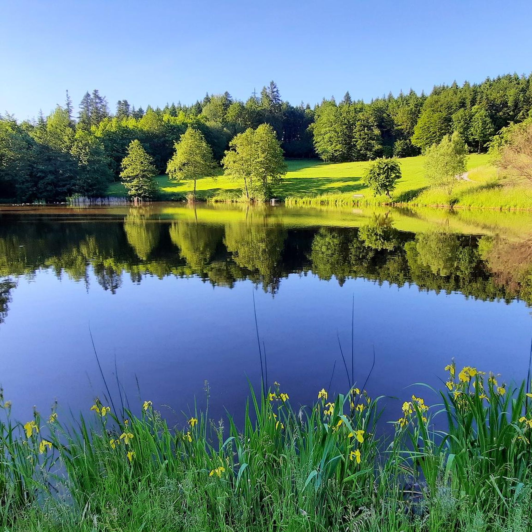
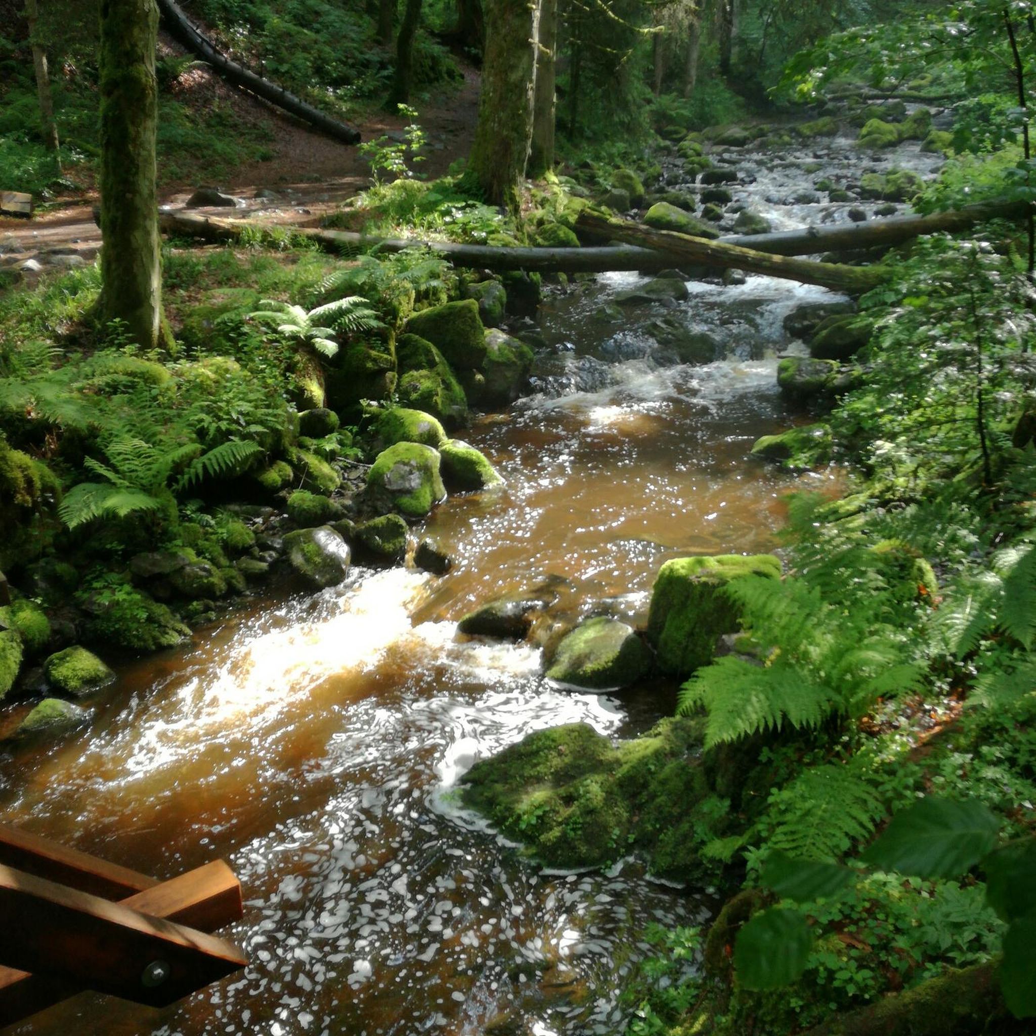
Hiking around Onard offers diverse scenery characterized by flat plains, tranquil lakes, and paths along the meandering Adour river. You'll encounter open landscapes, woodlands, and riverine environments.
Are there any family-friendly hiking options in Onard?
Absolutely. The gentle terrain and numerous easy loops make Onard very family-friendly. The La Plaine des Barthes – Peupleraie loop from Pontonx-sur-l'Adour is a popular easy route, just 4.2 km long, perfect for a leisurely family outing.
Can I bring my dog on the hiking trails in Onard?
Many trails in Onard are suitable for dogs, especially those through open plains and woodlands. It's always recommended to keep your dog on a leash and check local signage for any specific restrictions, particularly around nature reserves or agricultural areas.
Are there any circular walks available in Onard?
Yes, Onard features many circular routes, allowing you to start and end your hike at the same point. Examples include the La carrière de Gouts – L'adour loop from Gouts, which offers varied scenery along the Adour river and a local quarry.
What are some interesting landmarks or attractions to see near the hiking trails?
While hiking, you can explore several points of interest. Consider visiting The Chalosse Viewpoint or The Montfort-en-Chalosse viewpoint for panoramic views. The Church of Saint Eugénie in Pontonx-sur-l'Adour is also a notable historical site.
What do other hikers enjoy most about hiking in Onard?
The area is highly rated by the komoot community, with an average score of 4.6 stars from over 10 reviews. Hikers often praise the tranquil atmosphere, the gentle terrain, and the scenic paths along the Adour river and local lakes.
Are there any hikes that pass by lakes or ponds?
Yes, Onard's landscape includes tranquil lakes and ponds. You can enjoy routes like the Étang du Luc loop from Louer or the Étang de Laurède loop from Laurède, which offer pleasant walks around these water bodies.
Is public transport available to access hiking trails in Onard?
Public transport options in the immediate vicinity of Onard may be limited. It is generally recommended to use a car to reach trailheads, especially for routes starting in smaller villages or more remote areas. Always check local bus schedules if relying on public transport.
Is parking available at the trailheads in Onard?
Parking is typically available in or near the villages where many of the trails begin, such as Pontonx-sur-l'Adour, Gouts, or Tartas. Look for designated parking areas in town centers or near local amenities.
What is the best time of year to go hiking in Onard?
Spring and autumn are generally the most pleasant seasons for hiking in Onard, with mild temperatures and beautiful natural colors. Summer can be warm, but the flat terrain and shaded sections along rivers or in woodlands can still offer enjoyable walks. Winter hiking is possible, but trails may be muddy after rain.
Most popular attractions around Onard

Get inspired with the komoot mobile app


Explore more
Browse the best Hikes in other regions.
