The best road cycling routes around Area B (Lower Columbia/Old Glory)
5.0
(1)
41
riders
6
rides
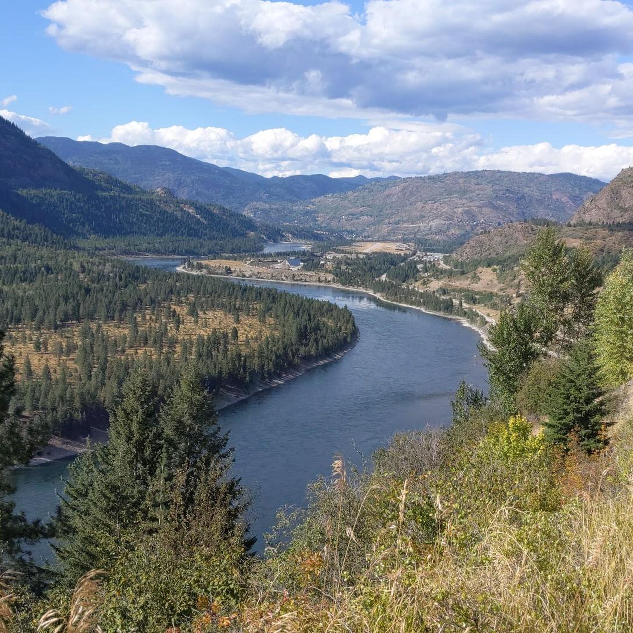
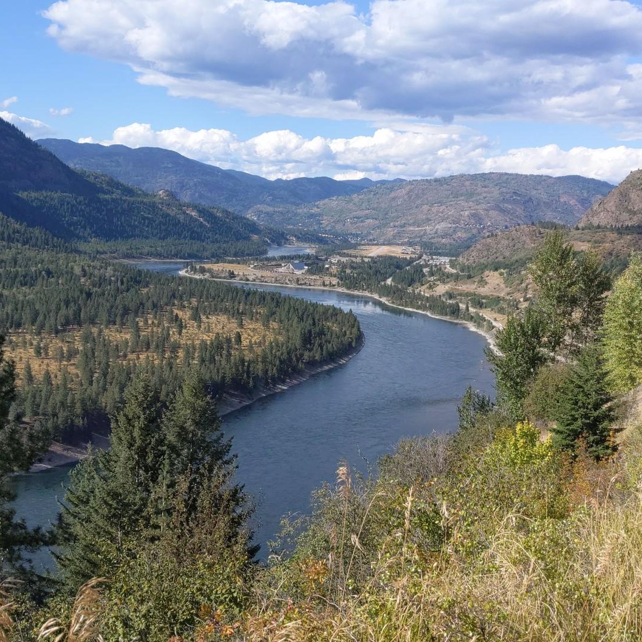
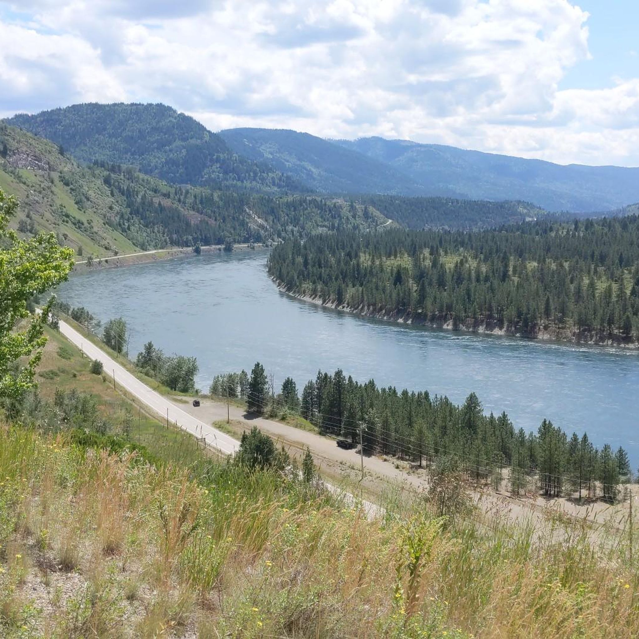
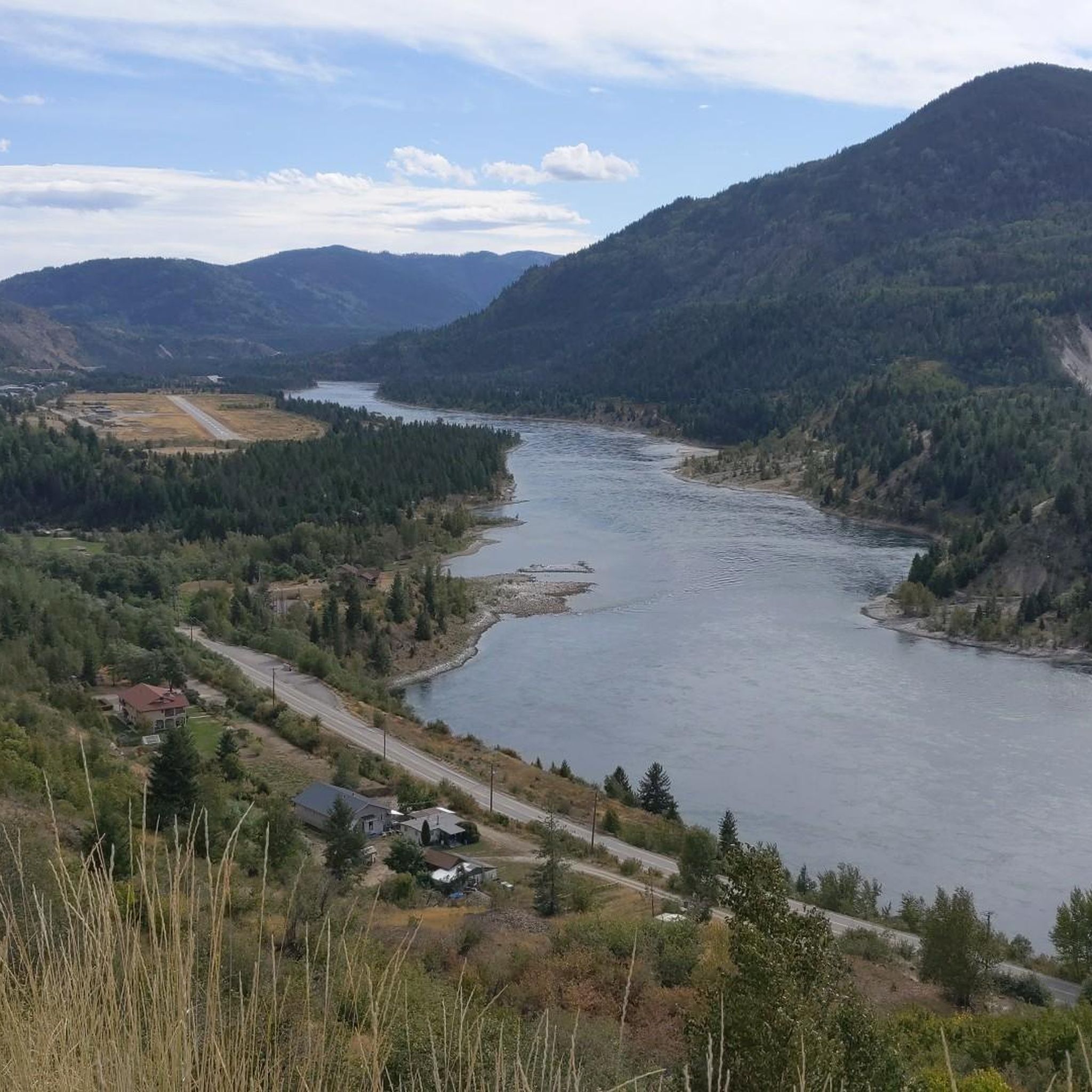
Road cycling around Area B (Lower Columbia/Old Glory) offers diverse landscapes shaped by volcanic activity and Ice Age floods, featuring the dramatic Columbia River Gorge with its cliffs and waterfalls. The region's terrain includes significant elevation changes, from river valleys to mountain ranges, providing varied routes for cyclists. Well-paved surfaces are available, alongside trails like the Columbia and Western Rail Trail, which follows natural slopes. This area presents a blend of challenging climbs and scenic routes through diverse ecosystems.
Best…
Last updated: September 3, 2026
5.0
(1)
15
riders
96.0km
04:33
1,150m
1,150m
Hard road ride. Very good fitness required. Mostly well-paved surfaces and easy to ride.
7
riders
52.9km
02:26
580m
570m
Moderate road ride. Good fitness required. Some segments of this route may be unpaved and difficult to ride.

Sign up for free
5
riders
88.7km
04:32
1,320m
1,320m
Hard road ride. Very good fitness required. Mostly well-paved surfaces and easy to ride.
4
riders
61.6km
03:08
680m
680m
Moderate road ride. Good fitness required. Mostly well-paved surfaces and easy to ride.
3
riders
101km
05:03
1,640m
1,640m
Hard road ride. Very good fitness required. Mostly well-paved surfaces and easy to ride.
Our route recommendations are based on thousands of hikes, rides, and runs completed by other people on komoot.
Start today with a free account
Your next adventure awaits.
Login or Signup
Popular around Area B (Lower Columbia/Old Glory)


Other adventures around Area B (Lower Columbia/Old Glory)


Tips from the Community

Northport, Washington, is a small Columbia River town 12 miles south of the Canadian border. Established in 1892 by railroad builder Daniel C. Corbin, Northport quickly became a vital hub for transporting ore. Before settlers arrived, it was home to the Sohweihlp (also known as the Kettle or Colville), the Lake people, and the Spokan (Spokane) tribe as far back as 13,000 B.C.E. Today, the Columbia River Bridge, completed in 1951, connects the town to the west side of the river.
0
0

There are numerous MTB trails in Nelson. Some of the best known include Codgers Mountain Bike Park, Sharlands Forest and Kaiteriteri Mountain Bike Park.
2
0
Nelson was founded in 1841 and is one of the oldest cities in New Zealand. Its name comes from Admiral Horatio Nelson, hero of the Battle of Trafalgar.
3
1
Frequently Asked Questions
What kind of terrain can I expect when road cycling in Area B (Lower Columbia/Old Glory)?
Area B offers a diverse range of terrain for road cyclists. You'll find routes with significant elevation changes, from river valleys to mountain ranges, shaped by volcanic activity and Ice Age floods. While some routes feature well-paved surfaces, others, like sections of the Columbia and Western Rail Trail, follow natural slopes with gradients not exceeding 2.5%. Expect a blend of challenging climbs and scenic routes through varied ecosystems.
Are there any easy or beginner-friendly road cycling routes in Area B?
Yes, while many routes in Area B are considered difficult, there are options suitable for different fitness levels. The guide includes one easy and one moderate route. For example, the Kootenay River – Crescent Valley Beach loop from Castlegar is a moderate 52.8 km route with a manageable elevation gain, offering a less strenuous option.
What natural features or landmarks can I see along the road cycling routes in Area B?
The region is rich in natural beauty and historical landmarks. You can explore the dramatic Columbia River Gorge, known for its cliffs and numerous waterfalls, including the famous 620-foot Multnomah Falls. The area also boasts over 800 species of wildflowers. Historic sites like the Brilliant Suspension Bridge, built by the Doukhobor community, are also accessible. The Columbia and Western Rail Trail itself traverses former pioneer towns, offering a glimpse into the region's past.
Are there any long-distance or multi-day road cycling options available?
Yes, the region is home to the Columbia and Western Rail Trail, which stretches for approximately 160 km from Midway to Castlegar. This trail, with its natural slopes and access to former pioneer towns for food and water, can be incorporated into longer rides or multi-day tours. Events like the Jim O'Horo Columbia Gorge Explorer also offer multi-day, self-supported bike camping tours through the spectacular Columbia River Gorge.
What is the best time of year for road cycling in Area B (Lower Columbia/Old Glory)?
The Columbia River Gorge area is recognized as a prime location for road biking, suggesting favorable conditions during warmer months. However, it's important to note that heavy rains can sometimes wash out sections of trails like the Columbia and Western Rail Trail, so checking local conditions before you go is advisable. Spring and fall generally offer pleasant temperatures and vibrant scenery, while summer provides longer daylight hours.
What kind of wildlife might I encounter while cycling in this region?
The diverse ecosystems of the Columbia River Gorge and surrounding areas support a rich variety of wildlife. You might spot approximately 44 species of fish and over 200 species of birds, including bald eagles. Mammals such as deer, bobcats, and black bears also inhabit the region. Always maintain a respectful distance and be aware of your surroundings.
Are there any loop routes for road cyclists in Area B?
Yes, several excellent loop routes are available. For instance, the Nelson loop from West Kootenay Regional Airport is a challenging 96 km route offering scenic views. Another popular option is the Nelson loop from Kinnarid Park Parking, which is a longer 139.6 km ride through varied landscapes. The Roadbike loop from Alliance Church also provides a substantial 101.4 km loop.
What do other road cyclists say about their experience in Area B (Lower Columbia/Old Glory)?
The road cycling routes in Area B are highly regarded by the komoot community, with an average score of 5.0 stars. Nearly 50 road cyclists have explored the varied terrain, often praising the challenging climbs and scenic views of the surrounding mountains and river valleys.
Are there opportunities for family-friendly road cycling in Area B?
While many routes in Area B feature significant elevation and are rated as difficult, the Columbia and Western Rail Trail offers a more accessible experience. Its natural slopes with gradients not exceeding 2.5% make it suitable for families or those seeking a less strenuous ride. Always check the specific route details for distance and elevation to ensure it matches your family's capabilities.
Where can I find parking for road cycling routes in Area B?
Specific parking information for each route can often be found in the route details on komoot. For example, the Nelson loop from Kinnarid Park Parking explicitly mentions a starting point with parking. It's always recommended to check the starting point of your chosen route for available parking facilities.
Are there any historical sites or cultural attractions to visit near the cycling routes?
Yes, the region has a rich history. The Brilliant Suspension Bridge, built in 1913 by the Doukhobor community, is a notable historical attraction. The Columbia and Western Rail Trail also passes through former pioneer towns, offering historical context. Additionally, the summit of Old Glory Mountain, the highest peak in the Rossland Range, still has visible ruins of Canada's highest weather station and a fire lookout.
What are some of the more challenging road cycling routes in Area B?
Area B is known for its challenging routes. The Nelson loop from Kinnarid Park Parking is a difficult 139.6 km trail with over 2,000 meters of elevation gain. Another demanding option is the Roadbike loop from Columbia Gardens, a difficult 88.8 km route with substantial climbing. These routes are ideal for experienced cyclists seeking a significant challenge.
Most popular routes around Area B (Lower Columbia/Old Glory)
Most popular attractions around Area B (Lower Columbia/Old Glory)

Get inspired with the komoot mobile app


Explore more
Browse the best Road cycling routes in other regions.
