
The best running trails around Chesterville
124
runners
11
runs
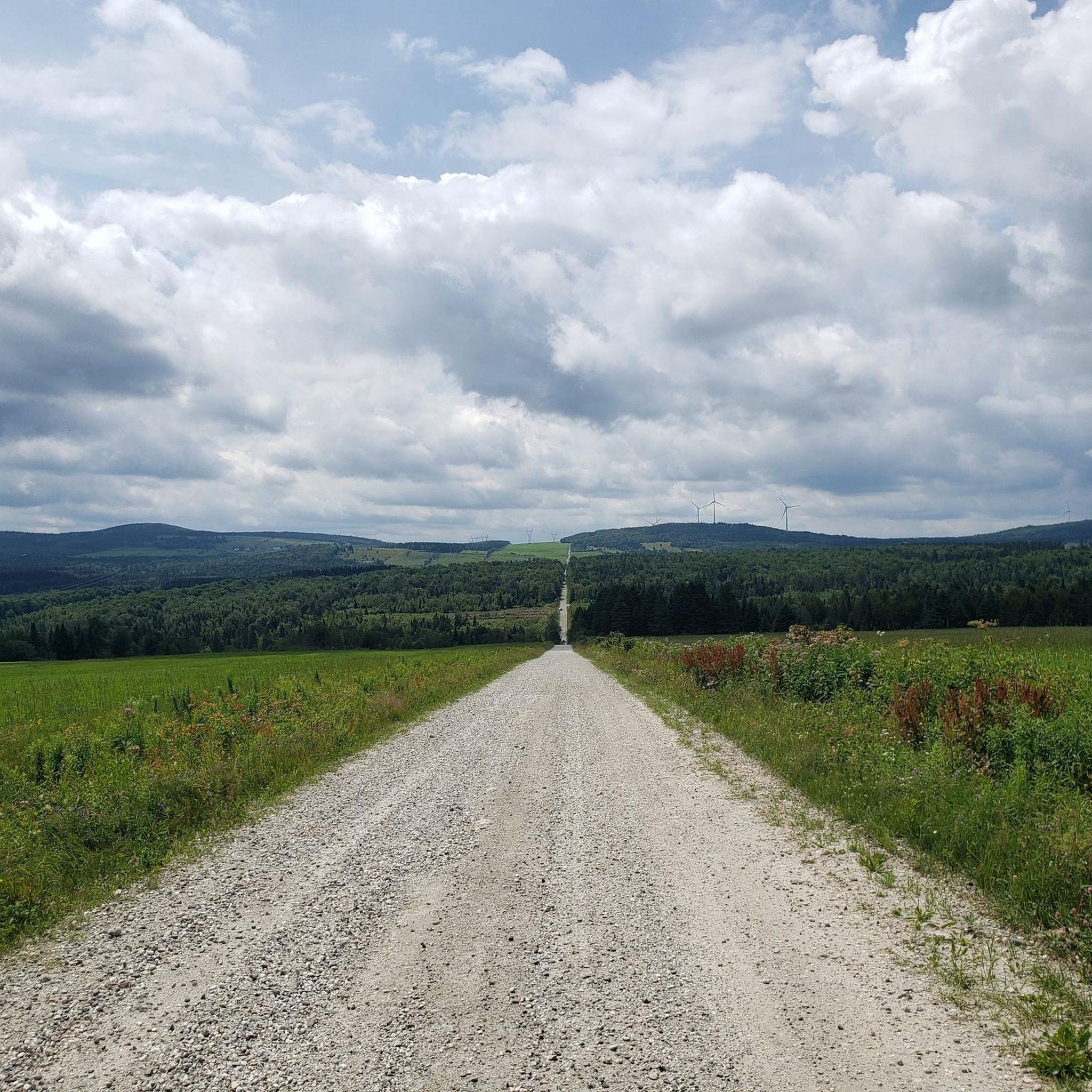
Jogging around Chesterville offers a variety of routes through a landscape characterized by rolling hills and varied elevations. The region features several prominent mounts, providing opportunities for challenging ascents and scenic loops. Joggers can expect trails that navigate through natural terrain, with some routes offering significant elevation gains. The area's geography supports both moderate and difficult running experiences.
Best jogging routes around Chesterville
- The most popular jogging route is Mont Saint-Michel – Mont Arthabaska loop from Arthabaska, a 10.6…
Last updated: September 30, 2026
32
runners
17.0km
02:08
350m
350m
Hard run. Very good fitness required. Mostly accessible paths. Some sure footedness required.
11
runners
5.05km
00:42
190m
190m
Moderate run. Good fitness required. Mostly paved surfaces. Suitable for all skill levels.

6
runners
12.4km
01:29
320m
320m
Hard run. Very good fitness required. Mostly accessible paths. Some sure footedness required.
4
runners
6.54km
00:41
50m
50m
Moderate run. Good fitness required. Mostly paved surfaces. Suitable for all skill levels.
7
runners
5.36km
00:40
90m
100m
Moderate run. Good fitness required. Mostly paved surfaces. Suitable for all skill levels.
Get access to more routes and recommendations from other explorers.
Already have an account?
Our route recommendations are based on thousands of hikes, rides, and runs completed by other people on komoot.
Start today with a free account
Your next adventure awaits.
Popular around Chesterville
Frequently Asked Questions
How many running routes are available in Chesterville?
There are over 10 dedicated running routes around Chesterville listed on komoot, offering a variety of experiences for joggers of all levels.
What kind of terrain can I expect on jogging routes in Chesterville?
Jogging around Chesterville is characterized by its prominent mounts, rolling hills, and varied elevations. You can expect trails that navigate through natural landscapes, with some routes offering significant elevation gains for a challenging workout.
Are there any moderate running loops suitable for a quicker workout?
Yes, for a moderate and quicker workout, consider the Running loop from Mont Gleason. This 5.0 km (3.1 miles) path offers varied terrain and can typically be completed in about 42 minutes.
What is a good option for a longer, more challenging run in Chesterville?
For a longer and more challenging run, the Mont Saint-Michel – Mont Arthabaska loop from Arthabaska is an excellent choice. This difficult 17.0 km (10.6 miles) trail features substantial elevation changes and takes approximately 2 hours 7 minutes to complete.
Are there any shorter, moderate loops for a casual run?
Absolutely. The Running loop from Arthabaska is a moderate 6.5 km (4.0 miles) route that can be completed in about 41 minutes, perfect for a casual yet engaging run.
What is the difficulty level of most running trails in Chesterville?
The running trails in Chesterville offer a good mix of challenges. You'll find 6 moderate routes and 5 difficult routes, catering to different fitness levels and preferences for elevation gain.
Can I find any running routes that are primarily circular?
Many of the popular running routes in Chesterville are designed as loops, allowing you to start and finish in the same location. Examples include the Running loop from Mont Gleason and the Mont Saint-Michel loop from Arthabaska.
Are there any specific landmarks or viewpoints along the running paths?
While specific landmarks are not detailed for every route, the region's prominent mounts and varied elevations suggest numerous scenic viewpoints. Routes like the Mont Saint-Michel – Mont Arthabaska loop from Arthabaska traverse significant natural landscapes, likely offering panoramic views.
What do other runners say about jogging in Chesterville?
Over 100 runners have explored Chesterville's varied terrain using komoot. They often appreciate the diverse network of trails that cater to different ability levels, from moderate loops to more challenging, difficult routes with significant elevation changes.
Is there a route that focuses on Mont Arthabaska?
Yes, the Mont Arthabaska loop from Arthabaska is a moderate 5.3 km (3.3 miles) route that focuses on this specific mount, offering a good workout in about 40 minutes.
What is the longest running route available in Chesterville?
The longest running route listed is the Mont Saint-Michel – Mont Arthabaska loop from Arthabaska, which spans 17.0 km (10.6 miles) and is classified as difficult due to its substantial elevation changes.
Most popular routes around Chesterville

Get inspired with the komoot mobile app


Explore more
Browse the best Running Trails & Routes in other regions.
