The best walks and hikes around Railroad
5.0
(1)
12
hikers
9
hikes
Hiking around Railroad is characterized by trails built on repurposed railway lines, providing generally flat and accessible paths. These routes often feature scenic views of rivers, lakes, and surrounding woodlands, blending natural beauty with historical infrastructure. Hikers can expect well-maintained paths that may pass through former railway tunnels and over historic bridges. The terrain typically includes gentle gradients, making it suitable for various fitness levels.
Best hiking trails around Railroad
- The most popular hiking route is Torrey C. Brown Rail…
Last updated: July 8, 2026
20.2km
05:12
60m
140m
Embark on a challenging hike along the York County Heritage Rail Trail, a route spanning 12.6 miles (20.2 km) with a modest 205 feet (63 metres) of elevation gain. This…
5.63km
01:29
70m
0m
The Torrey C. Brown Rail Trail offers a delightful and accessible escape into northern Maryland's countryside. This easy 3.5-mile (5.6 km) hike, with just 245 feet (75 metres) of elevation…

Sign up for free
5.0
(1)
4
hikers
4.35km
01:08
40m
30m
The York County Heritage Rail Trail offers a delightful, easy hike on a well-maintained crushed-stone surface, perfect for a relaxed outing. You'll wander through a pleasant mix of woodlands, streams,…
11.2km
02:54
60m
60m
The York County Heritage Rail Trail offers a delightful and accessible hiking experience, winding through a picturesque blend of woodlands, active farmlands, and charming small towns like New Freedom. You'll…
10.3km
02:39
50m
50m
Embark on a moderate hike along the York County Heritage Rail Trail, a 6.4-mile (10.3 km) route that takes approximately 2 hours and 39 minutes to complete. You'll experience a…
Get access to more routes and recommendations from other explorers.
Sign up for free
Already have an account?
Our route recommendations are based on thousands of hikes, rides, and runs completed by other people on komoot.
Start today with a free account
Your next adventure awaits.
Login or Signup
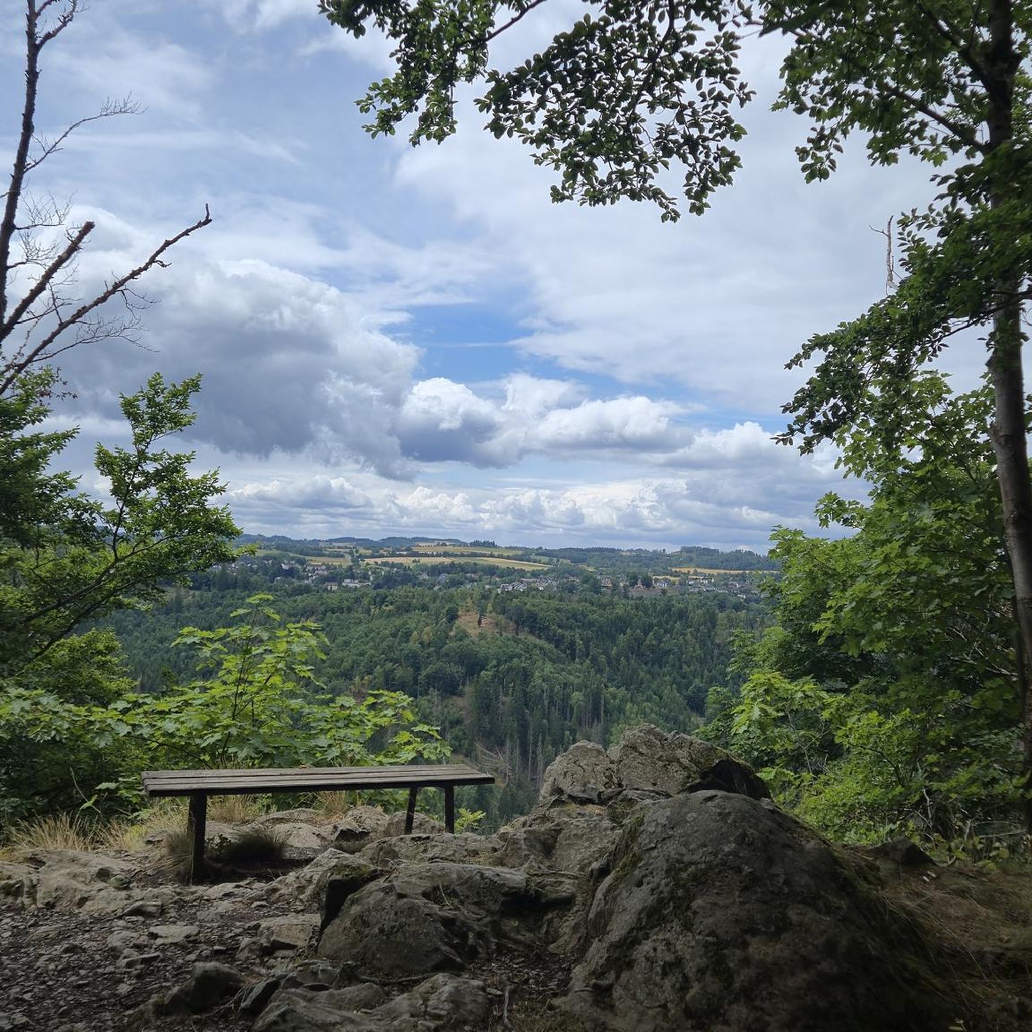
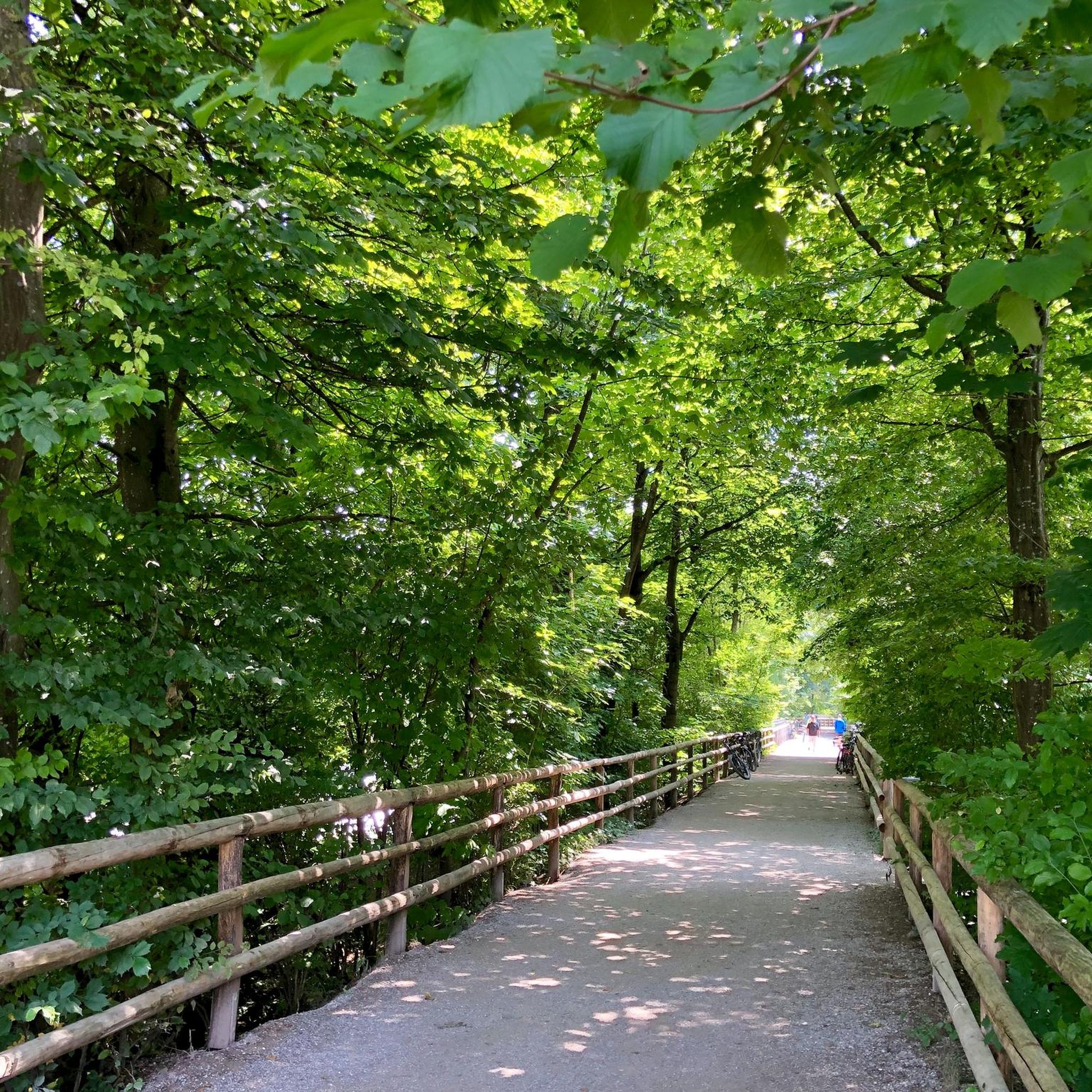


Tips from the Community


The Hanover Junction Railroad Station, built between 1852 and 1854, is a restored landmark. This three-story red structure now functions as a museum, offering a glimpse into its past. During the American Civil War, Hanover Junction played a crucial role. It served as a major railroad junction and telegraph dispatch station.
0
0
The Seven Valleys park area boasts stunning views of the surrounding countryside. Here, the elevation gently rises, offering breathtaking panoramas of rolling hills and farmland. This also part of the restored Hanover Junction Station, a stop on the original rail line dating back to 1863.
0
0
The trail takes you through a variety of landscapes, offering a chance to immerse yourself in the beauty of York County's natural surroundings. This section takes you by peaceful fields and farms, all along the old railway line. You also have a chance to cross over the tranquil South Branch Codorus Creek.
0
0
The plaque, located at this bridge, marks the 40.39 mile on the Northern Central Railroad, now used by the NCR Trail. Simultaneously crossing over the South Branch Codorus Creek and Pleasant Valley Road, offering a unique perspective from this vantage point.
0
0
Originally named “Freedom” after the Free family, the town adopted its current moniker “New Freedom” in 1873 to avoid confusion with another existing town. The borough's heritage is evident in the remnants of its once-bustling railroad industry. Rolling hills and fertile farmland surround the borough, while charming homes and friendly residents create a welcoming atmosphere.
0
0

The preserve has miles of well maintained trails, pavilions, and restrooms. BeeTree preserve is named after BeeTree run and was donated to the church in 1965.
0
0

The Mason-Dixon Line separates the four US states of Maryland, Pennsylvania, Delaware, and West Virginia. The spot marked here defines the border between Pennsylvania and Maryland and lies along the Torrey C. Brown Rail Trail.
0
0
Frequently Asked Questions
How many hiking trails are available around Railroad?
The Railroad area offers a selection of 9 hiking routes, catering to various preferences. You'll find 5 easy trails, 3 moderate options, and 1 more challenging route, all built on repurposed railway lines.
Are there any family-friendly hiking options in Railroad?
Yes, the Railroad area is well-suited for families. Many trails are relatively flat and well-maintained, as they repurpose former railway lines. For an easy and scenic outing, consider the Torrey C. Brown Rail Trail, which is 3.5 miles long and takes about 1 hour 29 minutes to complete.
Can I bring my dog on the hiking trails around Railroad?
Many rail trails are dog-friendly, offering wide paths and natural surroundings. While specific water access points for dogs may vary, the trails often follow rivers or lakes, providing opportunities for your dog to cool off. Always ensure your dog is on a leash and check local regulations for any specific trail restrictions.
What kind of scenery can I expect on the Railroad hiking trails?
Hiking around Railroad offers a unique blend of natural beauty and historical elements. You can expect scenic vistas of rivers and surrounding woodlands, as many trails follow former railway lines. Some routes may even take you through historic railway tunnels or over old bridges, providing a glimpse into the region's past. The York County Heritage Rail Trail, for example, leads through varied landscapes.
Are there any circular hiking routes in the Railroad area?
While many rail trails are linear, offering out-and-back options, some sections or connecting paths might allow for circular routes. It's best to check individual trail maps on komoot to plan a loop that suits your desired distance and difficulty. The nature of repurposed railway lines often means gentle gradients, making them pleasant for varied walks.
What interesting landmarks or attractions can I see along the trails?
The Railroad area offers several points of interest along its trails. You can explore a Beautiful rail trail section, visit the settlement of New Freedom, or discover the Heritage Rail Trail at Seitzville. A notable historical landmark is the Mason-Dixon Line, which some trails may pass near.
What is the best time of year for hiking around Railroad?
The Railroad area's trails, with their diverse woodlands and scenic water views, are enjoyable throughout much of the year. Spring and fall offer pleasant temperatures and beautiful foliage. Winter hiking can also be an option, but it's advisable to check local conditions for snow or ice, as some paths might become slippery. Always dress in layers appropriate for the season.
What do other hikers enjoy most about the trails in Railroad?
Hikers highly rate the trails in Railroad, with an average score of 5.0 stars from the komoot community. Visitors often praise the well-maintained paths, the blend of natural scenery with historical railway infrastructure, and the accessibility for various fitness levels. The gentle gradients and scenic views are frequently highlighted as key attractions.
Are there any challenging hikes for experienced hikers?
Yes, while many trails are easy, there are options for more experienced hikers. The York County Heritage Rail Trail offers a difficult 12.6-mile (20.2 km) path that traverses diverse terrain, including woodlands and open areas. This longer route provides a more substantial challenge compared to the shorter, easier sections.
Is parking available near the hiking trails in Railroad?
Given that many trails are repurposed railway lines, parking is often available at former station sites or designated trailheads. These areas are typically designed to accommodate visitors. It's recommended to check specific trail information on komoot or local park websites for detailed parking locations and any potential fees before your visit.
Can I access the Railroad hiking trails using public transport?
Many rail trails, by their very nature, often have access points near towns or former railway stations, which may be served by public transport. While specific connections vary, researching local bus or train routes that align with trailheads can provide convenient access without a car. This is particularly true for trails that connect urban or suburban areas.
Are there any hidden gem hikes in the Railroad area?
The Railroad area's network of trails, while popular, still offers opportunities to discover quieter sections. Exploring less-trafficked segments of the longer rail trails or venturing onto connecting paths can reveal peaceful woodlands and unique historical features. Keep an eye out for local signage or use komoot's map features to find less-known access points.
Most popular attractions around Railroad

Get inspired with the komoot mobile app


Explore more
Browse the best Hikes in other regions.
