The best walks and hikes around West Salem
20
hikers
5
hikes
Hiking around West Salem offers diverse landscapes, from accessible parks to wildlife refuges and vineyard trails. The region features a blend of natural beauty, including forests, wetlands, and riverfront areas along the Willamette River. Trails often traverse varied terrain, providing opportunities for wildlife observation and scenic views. The area's topography includes gentle hills and river valleys, making it suitable for a range of hiking experiences.
Best hiking trails around West Salem
- The most popular hiking route is Snakeroot, Blazingstar and…
Last updated: July 15, 2026
4
hikers
4.21km
01:07
40m
40m
Easy hike. Great for any fitness level. Easily-accessible paths. Suitable for all skill levels.
83.9km
21:28
300m
320m
Hard hike. Very good fitness required. Easily-accessible paths. Suitable for all skill levels.

Sign up for free
8
hikers
3.20km
00:51
40m
40m
Easy hike. Great for any fitness level. Easily-accessible paths. Suitable for all skill levels.
4
hikers
3.79km
01:09
130m
130m
Easy hike. Great for any fitness level. Easily-accessible paths. Suitable for all skill levels.
4
hikers
4.21km
01:07
40m
40m
Easy hike. Great for any fitness level. Easily-accessible paths. Suitable for all skill levels.
Our route recommendations are based on thousands of hikes, rides, and runs completed by other people on komoot.
Start today with a free account
Your next adventure awaits.
Login or Signup
Popular around West Salem

Tips from the Community

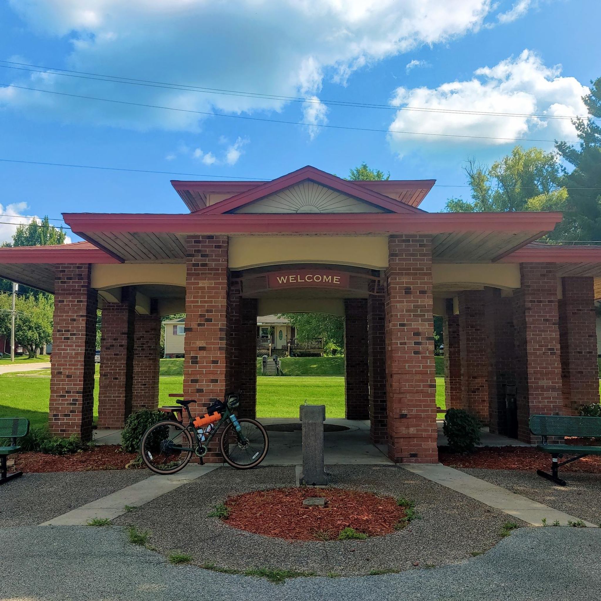
The Great River State Trail is a scenic rail trail in west-central Wisconsin. It stretches for 24 miles (39 km) between Onalaska and Marshland, traversing La Crosse and Trempealeau counties.
0
0

Looking out over the mighty Mississippi River valley stands the aptly named Tortoise Rock. From the perfect vantage point, this boulder bears an uncanny resemblance to a mighty ancient tortoise. Let your imagination wander as you take in the sweeping landscape.
0
0
From just the right angle, this boulder has the silhouette of a tortoise. Standing next to this rock, you also get a great view of the mighty Mississippi River valley.
0
0
It's a good climb to the summit, but the view is worth it. At an elevation of 1212 feet, this is the highest point in Green Coulee Park. There is a memorial bench at the viewpoint for resting your weary bones.
1
0
This unusual geological formation is presumably natural and tells a story of eons of erosion. There is supposed to be a second formation farther along the same trail to the south but I was not able to find it.
0
0
This overlook provides a view of Greens Coulee Park to the south as well as the Mississippi River Valley beyond.
0
0
From this overlook, you can enjoy a panoramic view of Onalaska, Wisconsin, and the Mississippi River Valley spreading out beyond.
0
0
Frequently Asked Questions
What kind of hiking trails can I expect around West Salem?
West Salem offers a diverse range of hiking experiences, from easy, shaded walks to longer, more challenging routes. You'll find trails winding through dense forests, along creeks, and even through vineyards. Many routes provide a peaceful escape into nature, often feeling like a wilderness retreat despite being close to urban areas.
Are there any easy, family-friendly hikes in West Salem?
Yes, West Salem has several excellent options for families. Trails like the Snakeroot, Blazingstar and Quarry Loop Trail offer gentle terrain and manageable distances, perfect for all ages. Parks such as Straub Nature Park and Orchard Heights Park also provide easy walking paths shaded by towering trees, creating a pleasant environment for a family outing.
Can I bring my dog on the hiking trails in West Salem?
Many trails in the West Salem area are dog-friendly, though leash rules typically apply. For example, Brush College Park features peaceful trails along Gibson Creek that are suitable for exploring with dogs. Orchard Heights Park also includes a fenced-in dog park, making it a great spot for your furry friend to stretch their legs before or after a walk.
Are there any loop trails available for hiking?
Yes, loop trails are a popular option in the area. You can enjoy routes like the Snakeroot, Blazingstar and Quarry Loop Trail, which offers a pleasant circular walk. Another great choice is the Quarry Trail Loop, providing a scenic round trip. For a slightly longer option, consider the Loggers Loop Trail.
What kind of natural features or landmarks can I see on the trails?
The trails around West Salem offer a variety of natural beauty and interesting points. You might encounter diverse wildlife, especially birds, in areas like Baskett Slough National Wildlife Refuge. Some routes feature unique rock formations, such as Mushroom Rock, or offer scenic overlooks like the Savanna Oaks Tract Overlook. You can also find trails that wind through vineyards, providing a unique 'wiking' experience with views of the Eola Hills.
Where can I find parking for hiking trails in West Salem?
Parking is generally available at the trailheads and parks throughout West Salem. Many local parks, such as Orchard Heights Park and Brush College Park, offer dedicated parking areas. For trails within larger natural areas like Baskett Slough National Wildlife Refuge, you'll typically find designated parking lots near the main entrances or observation decks.
Are there any challenging hikes with significant elevation gain?
While many trails in West Salem are relatively flat, there is one significantly more challenging option. The Great River State Trail, though quite long at over 80 kilometers, features an elevation gain of over 300 meters, offering a more strenuous experience for seasoned hikers looking for a longer adventure.
What is the best time of year to go hiking in West Salem?
West Salem offers pleasant hiking conditions throughout much of the year. Spring brings lush greenery and blooming wildflowers, while autumn provides vibrant fall foliage. Summer is ideal for longer days and warmer weather, though some trails offer ample shade. Even winter can be enjoyable for hiking, with cooler temperatures and a quieter atmosphere, especially on well-maintained paths.
Are there any viewpoints or scenic overlooks along the trails?
Yes, several trails and areas provide beautiful viewpoints. The Savanna Oaks Tract Overlook offers expansive views of the surrounding landscape. Additionally, the View from Tortoise Rock loop from La Crosse Marsh provides scenic vistas. The Eola Hills' vineyards also offer panoramic views, especially at sunset.
What kind of wildlife might I encounter on a hike?
West Salem's natural areas are rich in wildlife. Baskett Slough National Wildlife Refuge is home to over 250 bird species, as well as coyotes and Western pond turtles. In other parks and along creeks, you might spot various small mammals, amphibians like bullfrogs, and a wide array of local birds, making for excellent wildlife observation opportunities.
Most popular routes around West Salem
Most popular attractions around West Salem

Get inspired with the komoot mobile app


Explore more
Browse the best Hikes in other regions.
