The best running trails around Petlovac
36
runners
12
runs
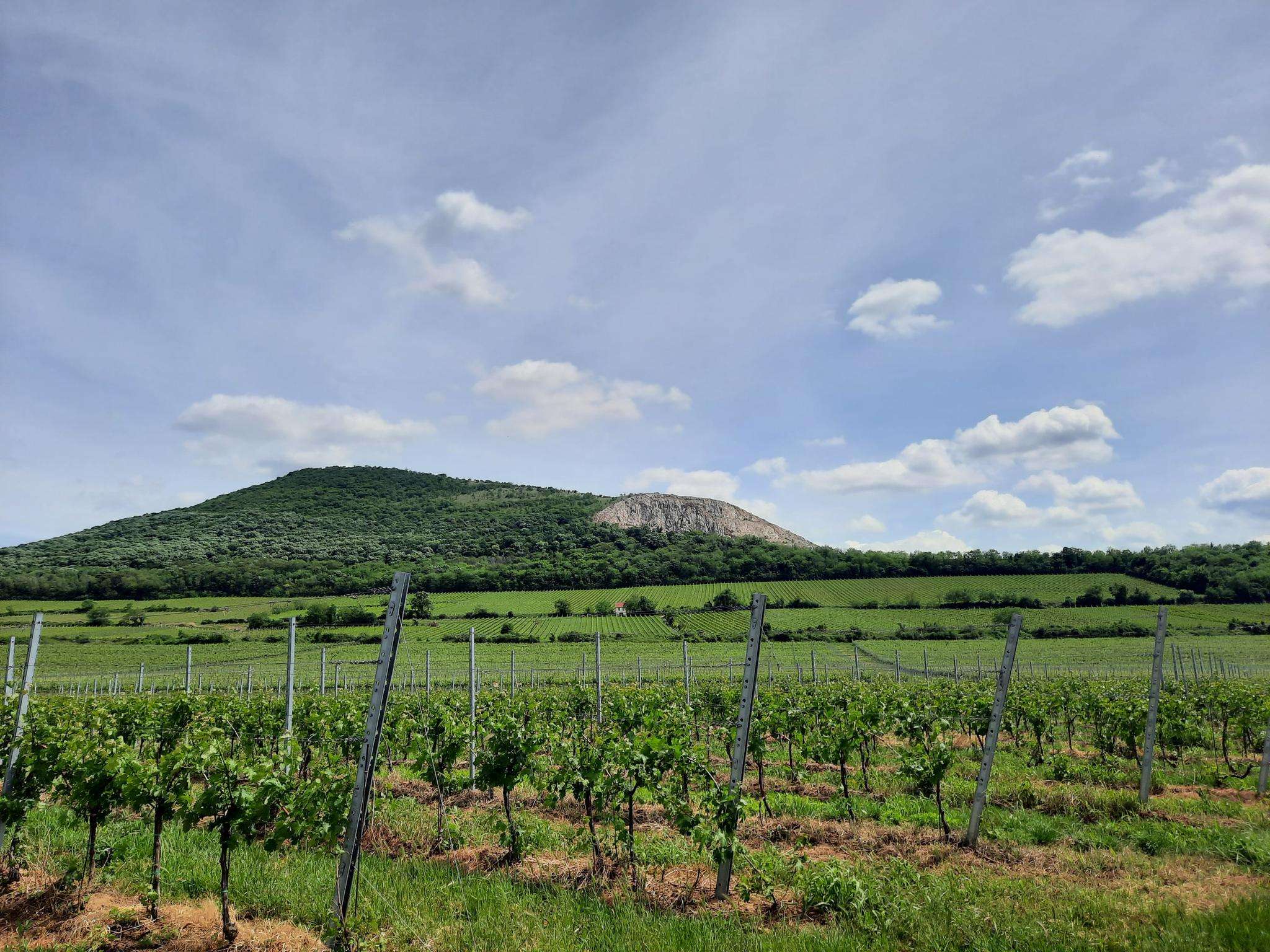
Jogging around Petlovac offers a variety of running experiences across its landscape. The region features a mix of flat paths and rolling terrain, with some routes including moderate climbs. Many running routes traverse agricultural areas, alongside lakes, and through local settlements. The trails provide opportunities to explore the natural and cultivated environments of Petlovac.
Best jogging routes around Petlovac
- The most popular jogging route is Running loop from Valpovo, a 5.6 miles (9.0 km) trail that takes 55 minutes…
Last updated: July 1, 2026
5
runners
8.80km
00:54
20m
20m
Moderate run. Good fitness required. Mostly paved surfaces. Suitable for all skill levels.
6
runners
25.9km
03:12
480m
480m
Hard run. Very good fitness required. Mostly accessible paths. Some sure footedness required.

Sign up for free
4
runners
10.5km
01:05
30m
30m
Moderate run. Good fitness required. Mostly paved surfaces. Suitable for all skill levels.
3
runners
7.84km
00:52
10m
10m
Moderate run. Good fitness required. Mostly paved surfaces. Suitable for all skill levels.
3
runners
7.93km
00:49
20m
20m
Moderate run. Good fitness required. Mostly paved surfaces. Suitable for all skill levels.
3
runners
14.2km
01:38
150m
150m
Moderate run. Good fitness required. Mostly paved surfaces. Suitable for all skill levels.
3
runners
12.2km
01:15
30m
30m
Moderate run. Good fitness required. Mostly paved surfaces. Suitable for all skill levels.
Get access to more routes and recommendations from other explorers.
Sign up for free
Already have an account?
Our route recommendations are based on thousands of hikes, rides, and runs completed by other people on komoot.
Start today with a free account
Your next adventure awaits.
Login or Signup
Frequently Asked Questions
How many running routes are available around Petlovac?
There are over 10 dedicated running routes around Petlovac, offering a range of experiences from moderate loops to more challenging long-distance trails.
Are there any easy running paths suitable for beginners in Petlovac?
While most routes are moderate, the region's terrain often features flat paths and gentle inclines. For a relatively straightforward experience, consider the Running loop from Valpovo, which is 5.6 miles (9.0 km) with minimal elevation gain.
What are some longer running routes for experienced runners in the Petlovac area?
For a significant challenge, the Gradac – Kamenjak loop from Popovac is a difficult 16.1 miles (25.9 km) route with substantial elevation gain. Another demanding option is the Gradac – Vidikovac vina Belje loop from Karanačka ciglana, spanning 13 miles (20.9 km) with considerable climbs.
Are there circular running routes available in Petlovac?
Yes, many of the running routes around Petlovac are designed as loops. Examples include the popular Running loop from Beli Manastir and the Running loop from Ivanovci, both offering convenient circular paths.
What kind of scenery can I expect on the running trails near Petlovac?
The running routes in Petlovac traverse diverse landscapes, including open agricultural fields, areas alongside lakes, and through local settlements. You'll experience a mix of natural and cultivated environments, often with rolling terrain.
Are the running routes in Petlovac suitable for families?
Many of the moderate routes with flatter sections, such as the Running loop from Belišće, can be suitable for families looking for a gentle run or walk. Always check the route details for distance and elevation to ensure it matches your family's fitness level.
What do other runners enjoy most about the trails in Petlovac?
Runners often appreciate the variety of terrain, from flat paths through agricultural areas to routes with moderate climbs. The opportunity to explore both natural and cultivated landscapes, along with lake areas, is frequently highlighted by the komoot community.
Are there any running routes that pass by lakes or water features?
Yes, the region includes lake areas. For example, the Šećeransko jezero loop from Beli Manastir is a moderate 7.6 miles (12.3 km) route that takes you around a lake, offering pleasant waterside views.
What is the best time of year to go running in Petlovac?
Petlovac offers good running conditions through much of the year. Spring and autumn generally provide pleasant temperatures. Summer can be warm, so consider early morning or late afternoon runs. Winter running is possible, but check local conditions for ice or snow, especially on less-maintained paths.
Are there any running routes with notable viewpoints in the Petlovac area?
The region features rolling terrain, and some routes offer elevated perspectives. The Vidikovac vina Belje loop from Beli Manastir, for instance, includes climbs that can lead to scenic views over the surrounding landscape, including vineyards.
Are the running trails in Petlovac generally well-marked?
While specific marking can vary, komoot routes are typically based on paths frequently used by the local community. Using the komoot app for navigation will ensure you stay on track, even on less-trafficked trails.

Get inspired with the komoot mobile app


Explore more
Browse the best Running Trails & Routes in other regions.
