The best walks and hikes around Wodzierady
4.6
(24)
232
hikers
54
hikes
Hiking around Wodzierady, located within the Łódź Voivodeship in Poland, offers diverse natural landscapes for outdoor activities. The region is largely rural, with significant agricultural land and forests, and a substantial portion lies within the Central Grabia Protected Landscape Area. This protected area is characterized by the meandering Grabia River, oxbow lakes, sandy banks, inland dunes, wetlands, and varied forests. The terrain generally features gentle elevation changes, making it suitable for walks and enjoying nature.
Best hiking trails around Wodzierady
…Last updated: July 15, 2026
4.0
(4)
18
hikers
6.42km
01:39
20m
20m
Easy hike. Great for any fitness level. Easily-accessible paths. Suitable for all skill levels.
5.0
(1)
26
hikers
6.17km
01:35
30m
30m
Easy hike. Great for any fitness level. Easily-accessible paths. Suitable for all skill levels.

Sign up for free
5.0
(6)
9
hikers
3.53km
00:54
10m
10m
Easy hike. Great for any fitness level. Easily-accessible paths. Suitable for all skill levels.
6
hikers
5.79km
01:28
10m
10m
Easy hike. Great for any fitness level. Easily-accessible paths. Suitable for all skill levels.
10
hikers
Easy hike. Great for any fitness level. Easily-accessible paths. Suitable for all skill levels.
Get access to more routes and recommendations from other explorers.
Sign up for free
Already have an account?
Our route recommendations are based on thousands of hikes, rides, and runs completed by other people on komoot.
Start today with a free account
Your next adventure awaits.
Login or Signup

Tips from the Community

According to local legends, this may be the site of an old cholera grave — a silent trace of people and times about which we know very little today.
0
0

On nice days there are many people, but on weekdays with nice weather you can de-stress.
0
0
Strange, but here there are more anglers than cyclists.🤣😁
0
0
It seems like nothing, but the water has a calming effect.
0
0
A nice place to rest in silence.
0
0

A very nice viewing spot.
0
0
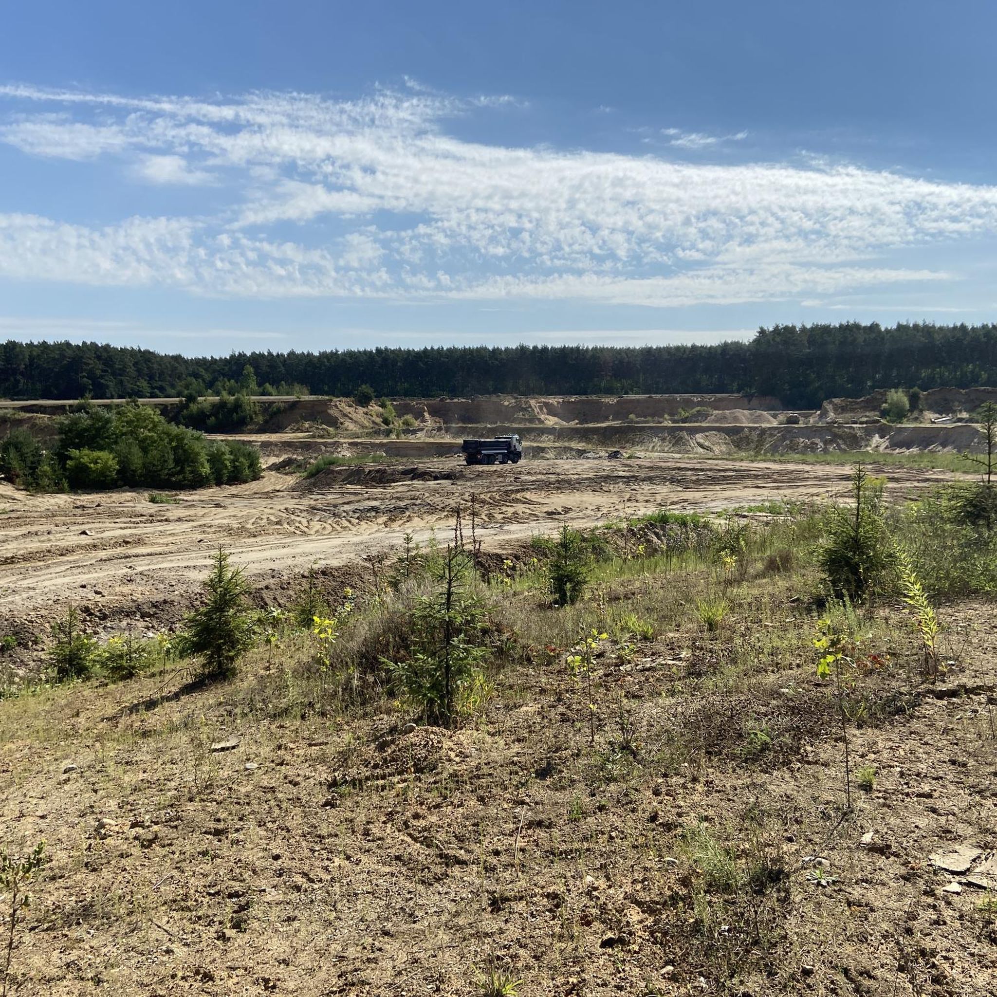
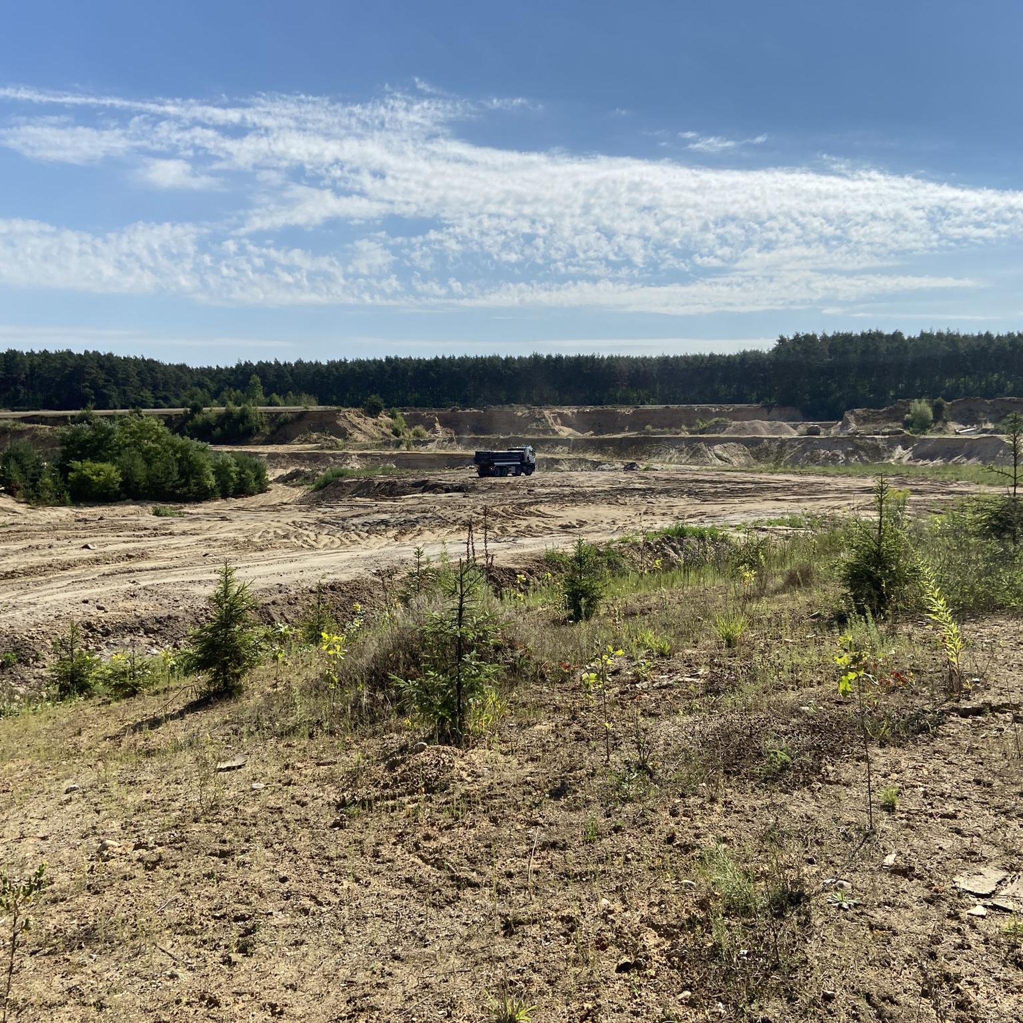
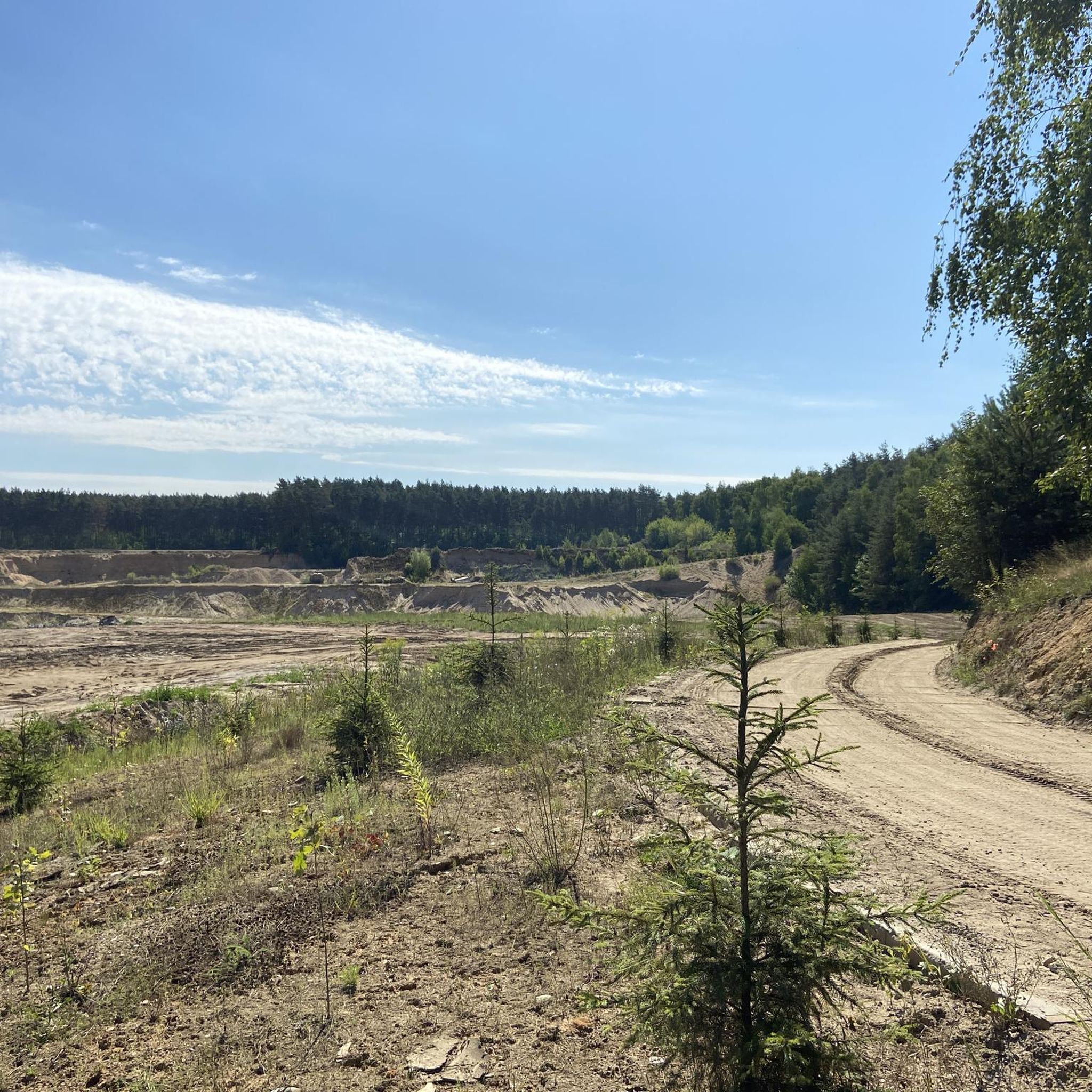
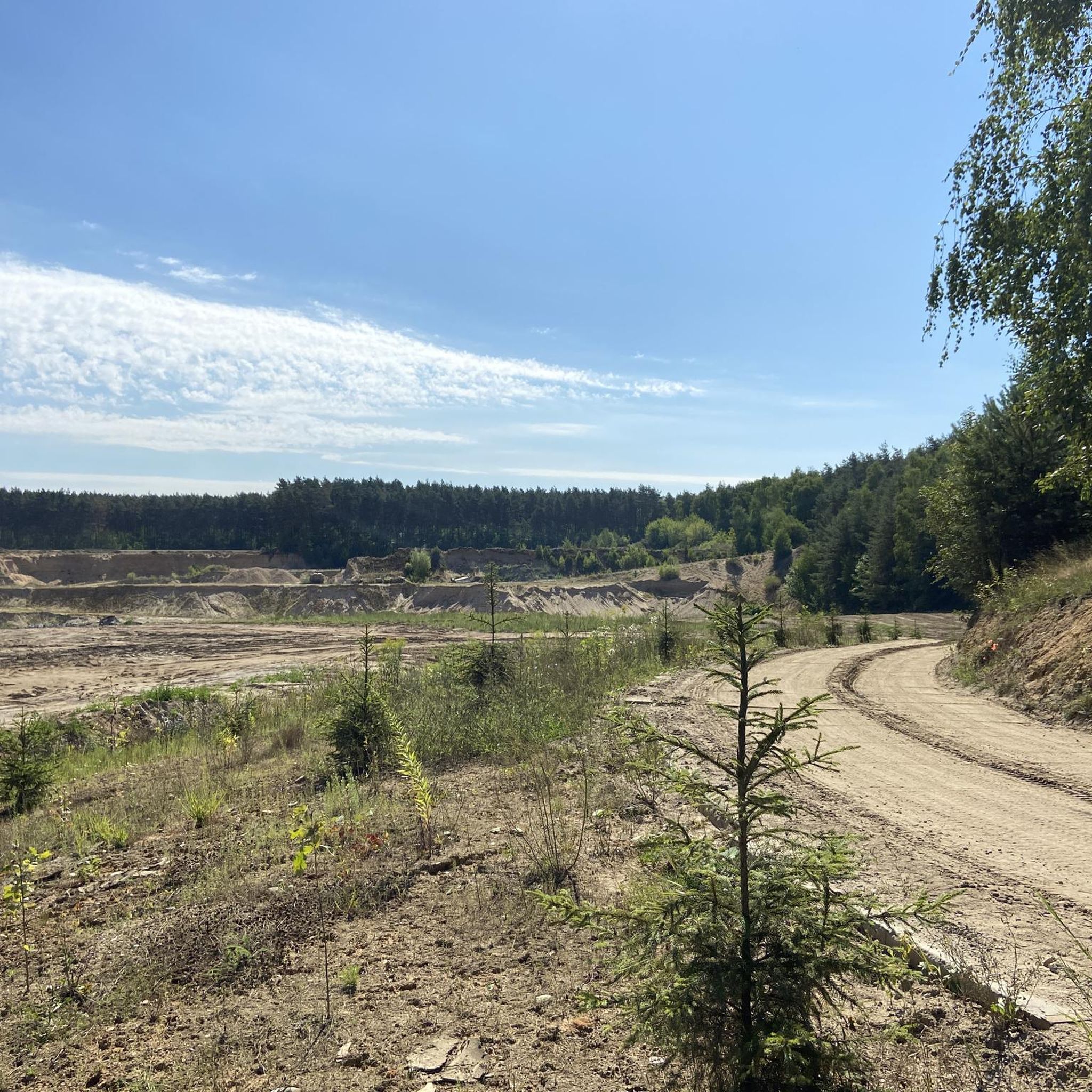
The roads around are full of sand, so you can get a little tired, but in such natural circumstances it's worth it.
0
0
Frequently Asked Questions
How many hiking trails are available around Wodzierady?
There are over 25 hiking trails in the Wodzierady area, catering to various skill levels from easy to moderate. These routes explore the diverse natural landscapes of the region.
What kind of terrain can I expect on hikes in Wodzierady?
Hiking in Wodzierady offers a varied landscape, primarily characterized by meandering river valleys, sandy areas, and diverse forests. You'll encounter features like the Grabia River with its oxbow lakes and sandy banks, inland dunes, wetlands, and expansive meadows, especially within the Central Grabia Protected Landscape Area.
Are there easy hiking options suitable for beginners or casual walkers?
Yes, Wodzierady is well-suited for easy hikes, with 20 routes classified as easy. An example is the Duża Woda – Nameless pond with lilies loop from gmina Dobroń, which is 4.0 miles (6.4 km) long and explores a scenic pond area.
Can I find circular hiking routes in Wodzierady?
Many of the trails around Wodzierady are designed as loops, offering convenient circular routes. For instance, the Fishing Pond – Sandy Hill on the Graba River loop from Barycz is an easy 3.8-mile (6.2 km) circular path that showcases the Grabia River and its sandy banks.
What natural features or landmarks can I see while hiking in Wodzierady?
The region is rich in natural beauty, particularly within the Central Grabia Protected Landscape Area. You can explore the meandering Grabia River, oxbow lakes, sandy banks, and varied forests. Notable natural attractions include the Duża Woda Nature Reserve and various ponds like the Bełdów Ponds and Sarnów Ponds. Additionally, post-manorial parks in Wodzierady, Kwiatkowice, and Piorunów feature historical elements and 'monuments of nature'.
Are there any historical sites or points of interest near the hiking trails?
Beyond natural landscapes, you can find historical points of interest. The Chapel of 1910 loop from gmina Dobroń takes you through rural landscapes with historical context. Other nearby sites include the Church of the Assumption of the Blessed Virgin Mary and St. James the Apostle in Szadek and the historical site of Siwaberek.
What do other hikers enjoy most about the trails in Wodzierady?
The hiking trails in Wodzierady are highly rated by the komoot community, with an average score of 4.55 stars from over 16 reviews. Hikers often praise the peaceful natural environment, the varied landscapes of river valleys and forests, and the accessibility of routes for different skill levels.
Are there any moderate or challenging hikes for more experienced hikers?
While most trails are easy, there are 5 moderate routes and 1 difficult route available for those seeking more of a challenge. An example of a moderate route is the Barycz Reservoir Dam loop from Kolumna, which covers 5.3 miles (8.6 km).
Is Wodzierady a good destination for family-friendly hikes?
Yes, the predominantly easy terrain and scenic natural features make Wodzierady suitable for family outings. Many trails are relatively short and have gentle elevation changes, allowing families to enjoy nature together. The presence of ponds and varied landscapes offers engaging environments for children.
What is the best time of year to go hiking in Wodzierady?
The region's natural beauty, with its rivers, forests, and meadows, is enjoyable throughout the warmer months, typically from spring through autumn. Spring brings blooming flora, summer offers lush greenery, and autumn provides vibrant colors. Winter hiking is possible, but conditions may vary, so checking local weather is advisable.
Are there any trails that feature water bodies like rivers or lakes?
Absolutely. The Grabia River is a central feature of the landscape, and many trails follow its course, offering views of its meandering waters, oxbow lakes, and sandy banks. Routes like the Sandy Hill on the Graba River – Fishing Pond loop from Barycz directly highlight these aquatic environments. You can also find trails near various ponds, including the Unnamed Pond and the Beach at the Ponds Recreation Center.
Most popular attractions around Wodzierady

Get inspired with the komoot mobile app


Explore more
Browse the best Hikes in other regions.
