The best mountain hikes around gmina Lipinki
9
hikers
3
hikes
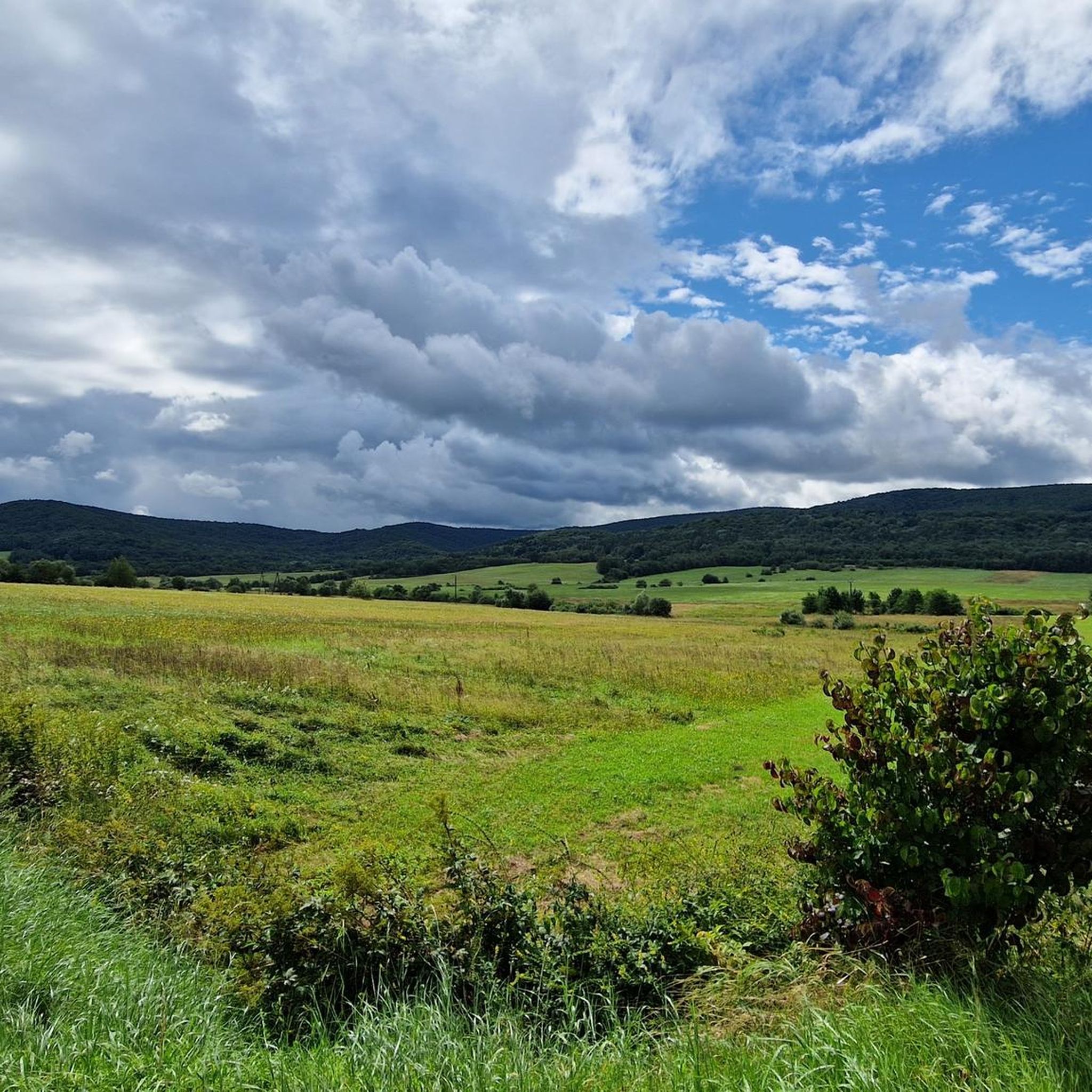
Mountaineering around gmina Lipinki, situated in the Carpathian Foothills of southern Poland, offers varied terrain for outdoor enthusiasts. The region is characterized by rolling hills, dense forests, and a portion of the Magurski National Park. Peaks such as Ferdel (648m) provide elevation gains and panoramic views, making the area suitable for diverse mountaineering experiences.
Best mountaineering routes around gmina Lipinki
- The most popular mountaineering route is Magura Summit – Monument to the Memory of Darek Hare loop from Folusz,…
Last updated: July 2, 2026
6
hikers
10.8km
03:29
480m
480m
Moderate mountaineering route. Good fitness required. Easily-accessible paths. Suitable for all skill levels.
1
hikers
4.85km
01:32
190m
200m
Easy mountaineering route. Great for any fitness level. Easily-accessible paths. Suitable for all skill levels.
Our route recommendations are based on thousands of hikes, rides, and runs completed by other people on komoot.
Start today with a free account
Your next adventure awaits.
Login or Signup
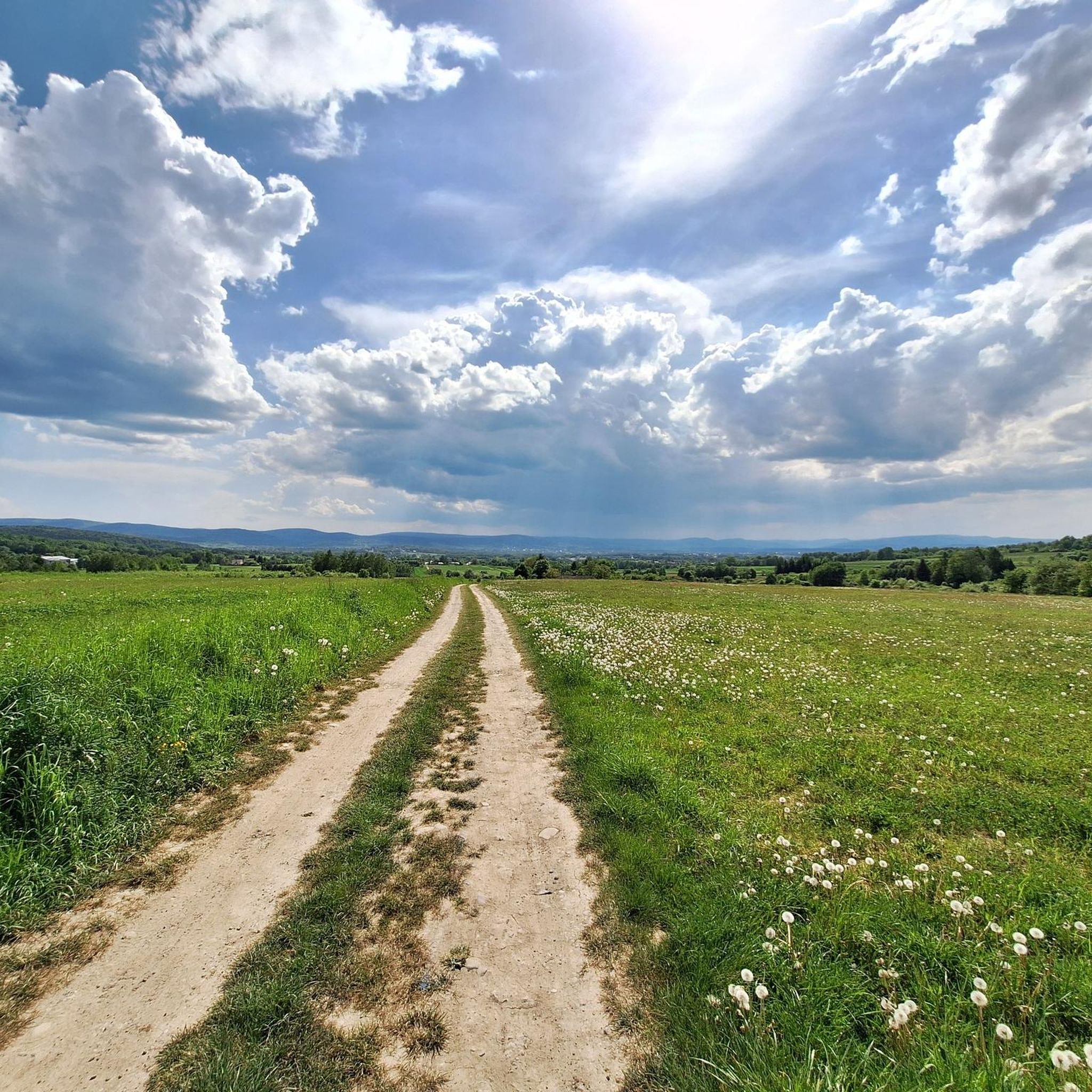
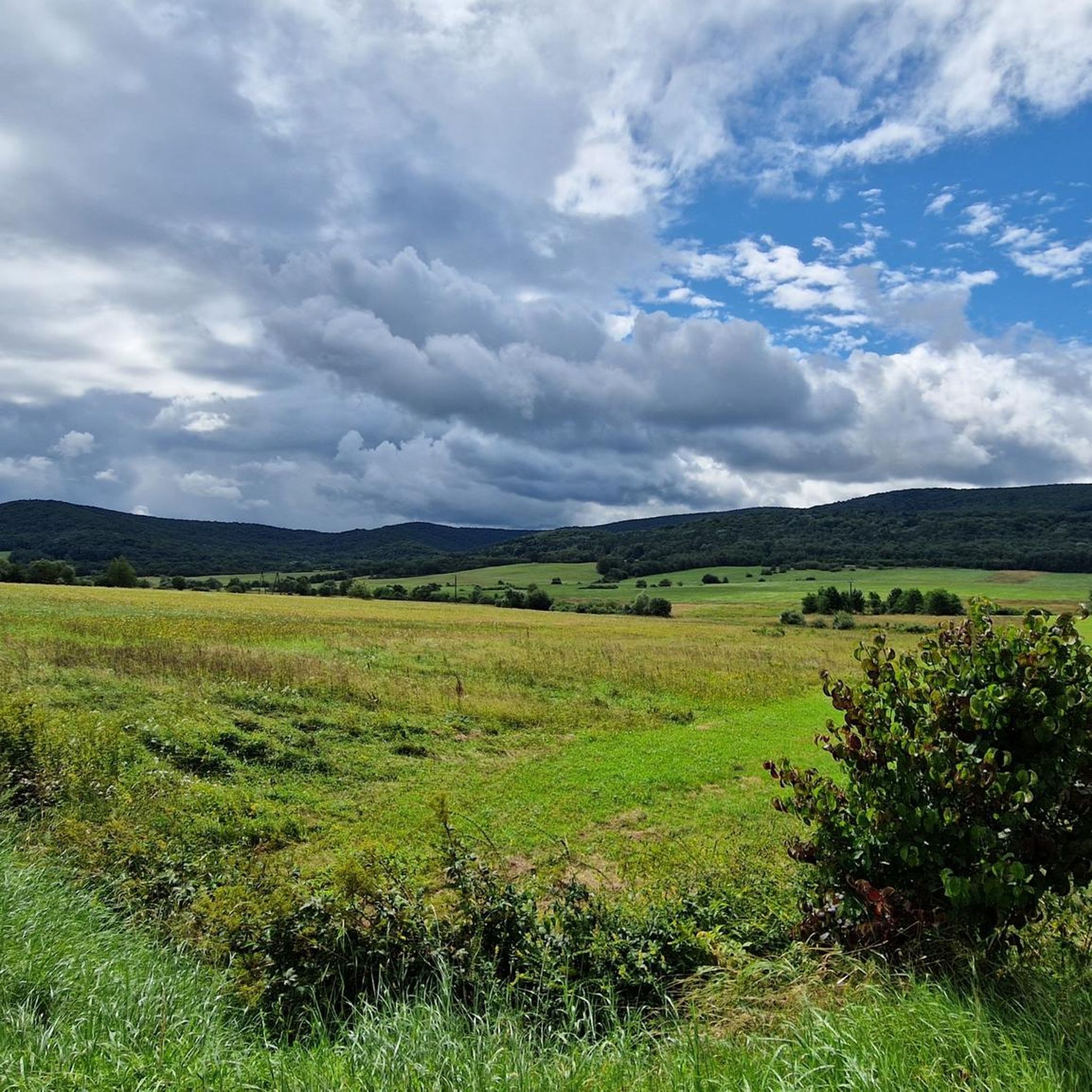
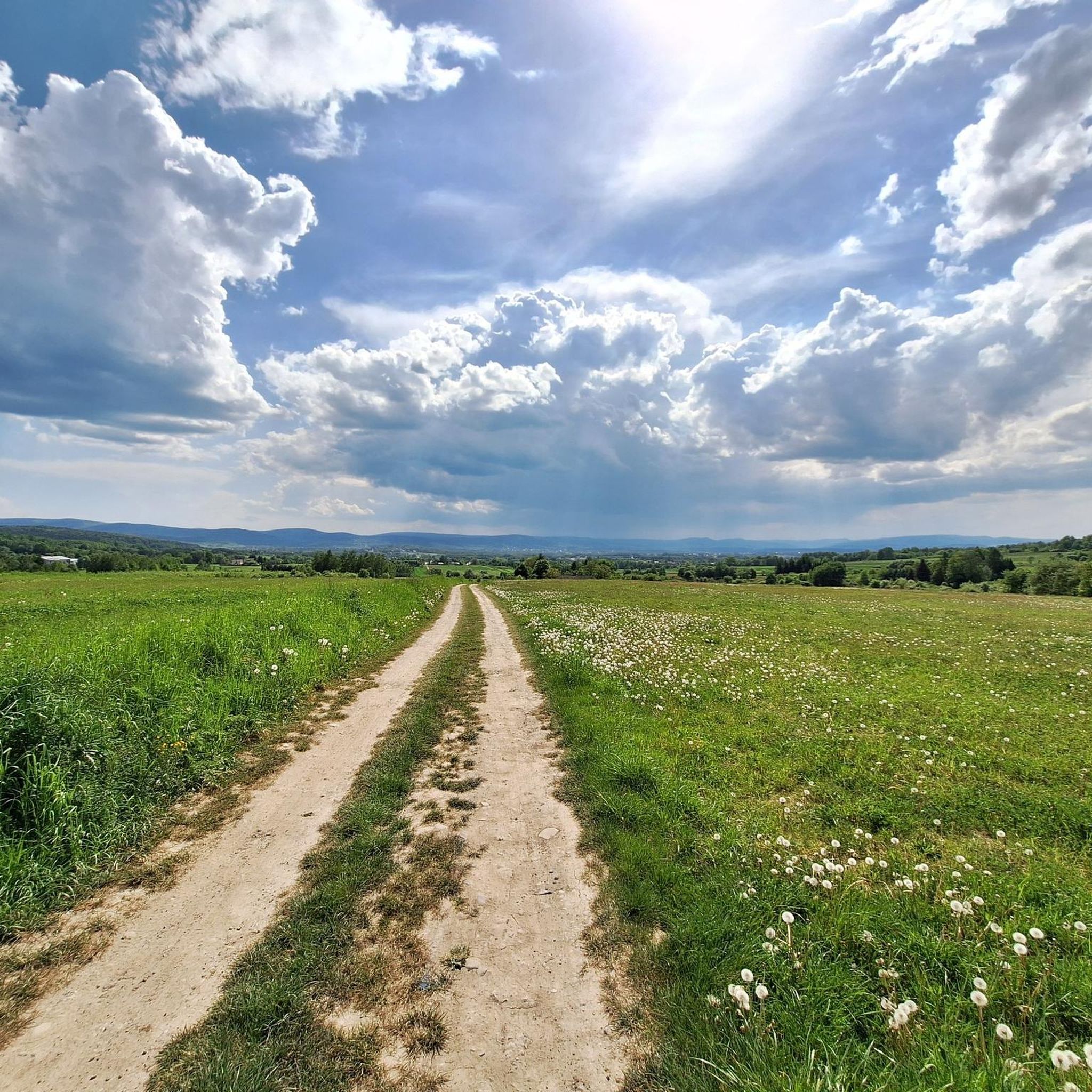
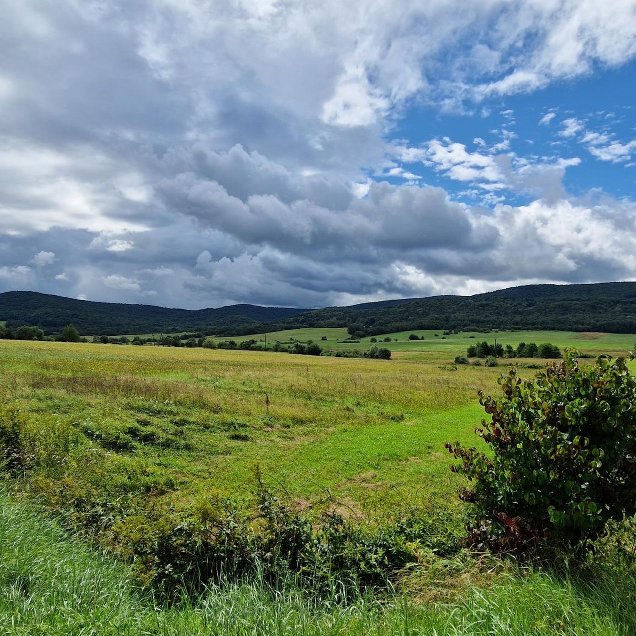

Tips from the Community

More information and photos: https://podrozowanienieboli.pl/watkowa/ https://mapa-turystyczna.pl/node/pod-watkowa#49.57137/21.37167/14
0
0
Wątkowa (846 m above sea level) - the highest peak in the Low Beskids above Bartno, in the Magura Wątkowska range.
0
0

A resting place – a beautiful shelter among the trees, very close to the summit of Magura. There's also a memorial plaque here for Darek Zając, a local photographer who fell in love with the Beskid Niski Mountains. After his death, his friends left this beautiful plaque here.
1
0
A beautiful section along the charming Kłopotnica Stream - often rushing water, with views of it from above. There are benches and picnic shelters on this section, if needed.
0
0

Magura (829 m above sea level) is a peak on the Main Beskid Trail. Below there is a place with a shelter and benches.
2
0

A resting place with several benches and a shelter. There is also a field altar here.
0
0
The summit on the GSB red trail. Below is a place with a shelter and benches.
0
0

You can get there from different directions. The easiest way, but longer,it's from Kornuty or Kolanin. You can also get there directly from Folusz but it's quite demanding way. The hill is in the forest, like more paths in that region.
0
0
Frequently Asked Questions
How many mountaineering routes are available in gmina Lipinki?
Komoot features 3 mountaineering routes around gmina Lipinki. These routes offer varied terrain, from easy forest loops to more challenging summit ascents, catering to different skill levels.
What is the best time of year for mountaineering in gmina Lipinki?
The best time to visit gmina Lipinki for mountaineering is during late spring (May to June) and early autumn (September to October). Temperatures are mild and pleasant, perfect for exploring the rolling hills and forests. Spring offers blooming wildflowers, while autumn showcases vibrant foliage.
Are there mountaineering routes suitable for beginners in gmina Lipinki?
Yes, gmina Lipinki offers routes suitable for beginners. For an easier outing, consider the Yellow Forest Trail loop from Brzezowa, which is 3.0 miles (4.8 km) long and typically takes about 1 hour 31 minutes to complete through dense woodlands.
Can I find challenging mountaineering routes in gmina Lipinki?
While gmina Lipinki is known for its rolling hills, there are moderate mountaineering routes that offer a good challenge. The Magura Summit – Monument to the Memory of Darek Hare loop from Folusz is a moderate 6.7 miles (10.8 km) trail with significant elevation gain, leading to expansive views from Magura Summit.
Are there any circular mountaineering routes in the area?
Yes, several routes in gmina Lipinki are designed as loops, allowing you to start and end at the same point. Examples include the Magura Summit – Monument to the Memory of Darek Hare loop from Folusz and the Yellow Forest Trail loop from Brzezowa.
What natural features or landmarks can I see while mountaineering in gmina Lipinki?
The region is rich in natural beauty. You can explore parts of the Magurski National Park. Notable features include the Ferdel peak (648m) and the Magura Summit. The nearby Kornuty Rock Nature Reserve protects unique rock formations and rare plant species, and the Diabli Kamień Rock Formation is also a significant natural monument.
Are there any waterfalls along the mountaineering routes?
Yes, the region features natural attractions like the Magurski Waterfall, which can be a refreshing stop during your mountaineering adventures.
What historical sites can be explored near the mountaineering trails?
Beyond natural beauty, gmina Lipinki has historical elements. You might encounter remnants of the 'Oil Trail' (Szlak Naftowy) with old drilling derricks. Additionally, historical World War I cemeteries, such as the Austro-Hungarian War Cemetery No. 60 on Małastowska Pass, are scattered throughout the gmina, offering sites for reflection.
Are there any viewpoints offering panoramic views?
Absolutely. Ascending to peaks like Ferdel or Magura Summit will reward you with expansive views of the Carpathian Foothills. The Lysula observation tower also provides excellent panoramic vistas.
Are the mountaineering trails in gmina Lipinki dog-friendly?
Many trails in the Carpathian Foothills, including those in gmina Lipinki, are generally dog-friendly, especially outside of strict national park zones where regulations might apply. Always keep your dog on a leash and ensure they are well-behaved, especially when encountering wildlife or other hikers. It's advisable to check specific trail regulations if you plan to enter the Magurski National Park area.
How long do the mountaineering routes typically take?
The duration of routes varies depending on their length and difficulty. For instance, the easy Yellow Forest Trail loop from Brzezowa takes about 1 hour 31 minutes, while the moderate Magura Summit – Monument to the Memory of Darek Hare loop from Folusz typically requires around 3 hours 29 minutes.
What do other mountaineers say about the routes in gmina Lipinki?
The mountaineering routes in gmina Lipinki are appreciated by the komoot community. Over 9 mountaineers have used komoot to explore the varied terrain, often praising the peaceful forest paths and the rewarding views from the summits. The region offers a good mix of accessible and more challenging trails.
Most popular routes around gmina Lipinki
Most popular attractions around gmina Lipinki

Get inspired with the komoot mobile app


Explore more
Browse the best Mountain Hikes & Routes in other regions.
