The best mountain hikes in Schauerwald
42
hikers
12
hikes
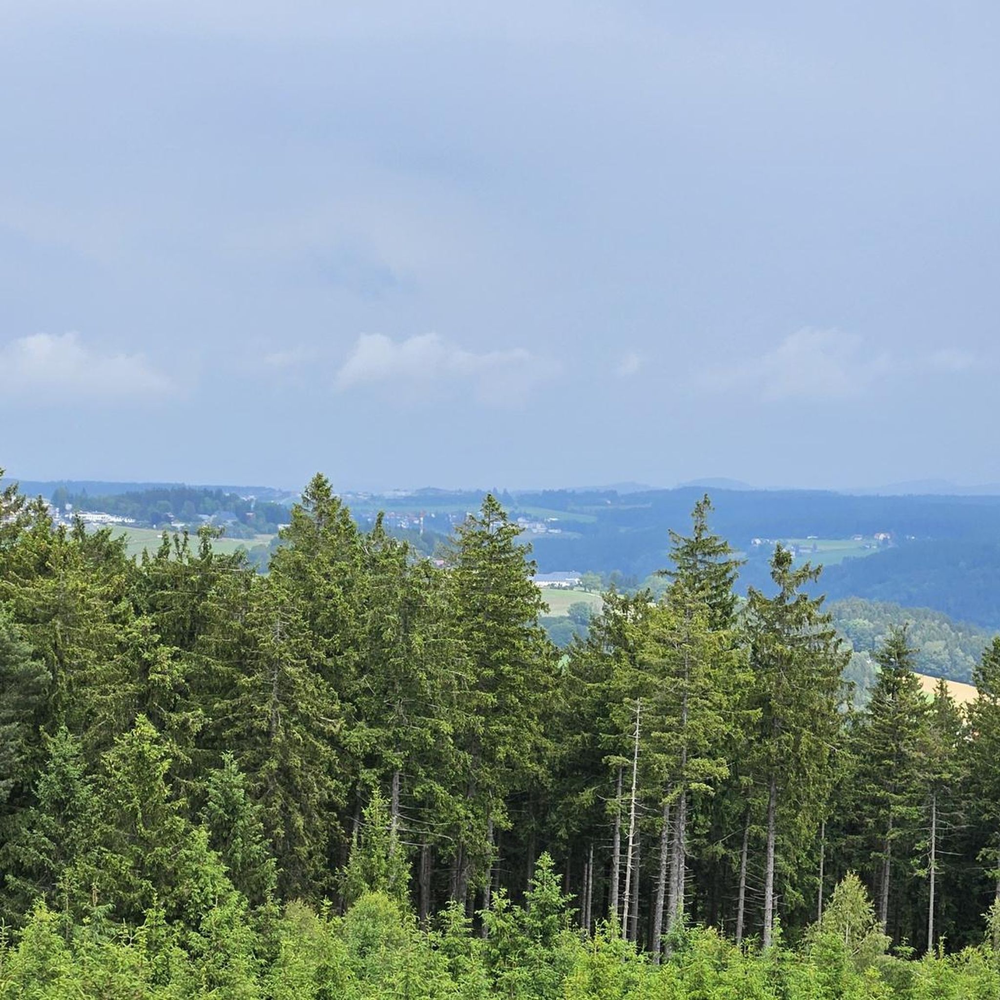
Mountaineering in Schauerwald traverses a landscape characterized by hilly terrain and extensive forest areas. The region features varied elevations, with routes offering significant ascent and descent through natural surroundings. Finely branched networks of watercourses are also present, contributing to the diverse environment. This area provides opportunities for exploring natural features and viewpoints.
Best mountaineering routes in Schauerwald
- The most popular mountaineering route is Gis Transmitter and Rest Area – Giselawarte loop from St. Magdalena, a 10.2 miles (16.5 km)…
Last updated: July 4, 2026
2
hikers
8.65km
02:40
310m
310m
Moderate mountaineering route. Good fitness required. Easily-accessible paths. Suitable for all skill levels.
14
hikers
16.6km
05:11
660m
660m
Hard mountaineering route. Very good fitness required. Easily-accessible paths. Suitable for all skill levels.

Sign up for free
2
hikers
14.2km
04:22
480m
480m
Moderate mountaineering route. Good fitness required. Easily-accessible paths. Suitable for all skill levels.
1
hikers
14.3km
04:20
480m
480m
Moderate mountaineering route. Good fitness required. Easily-accessible paths. Suitable for all skill levels.
2
hikers
16.5km
04:56
520m
520m
Moderate mountaineering route. Good fitness required. Easily-accessible paths. Suitable for all skill levels.
Get access to more routes and recommendations from other explorers.
Sign up for free
Already have an account?
Our route recommendations are based on thousands of hikes, rides, and runs completed by other people on komoot.
Start today with a free account
Your next adventure awaits.
Login or Signup
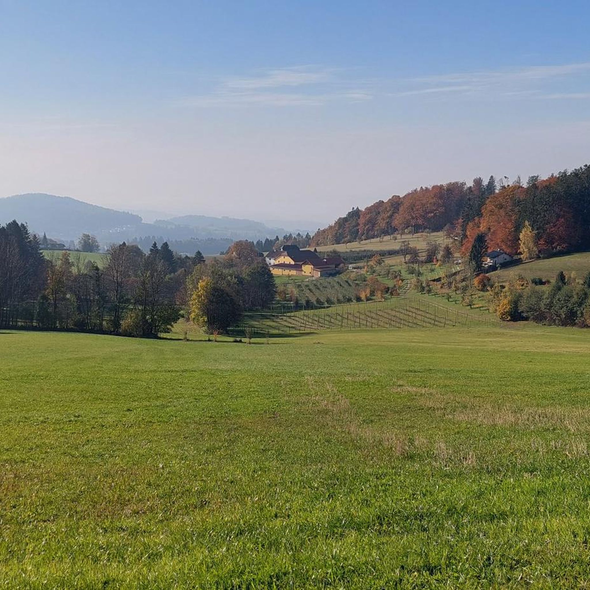
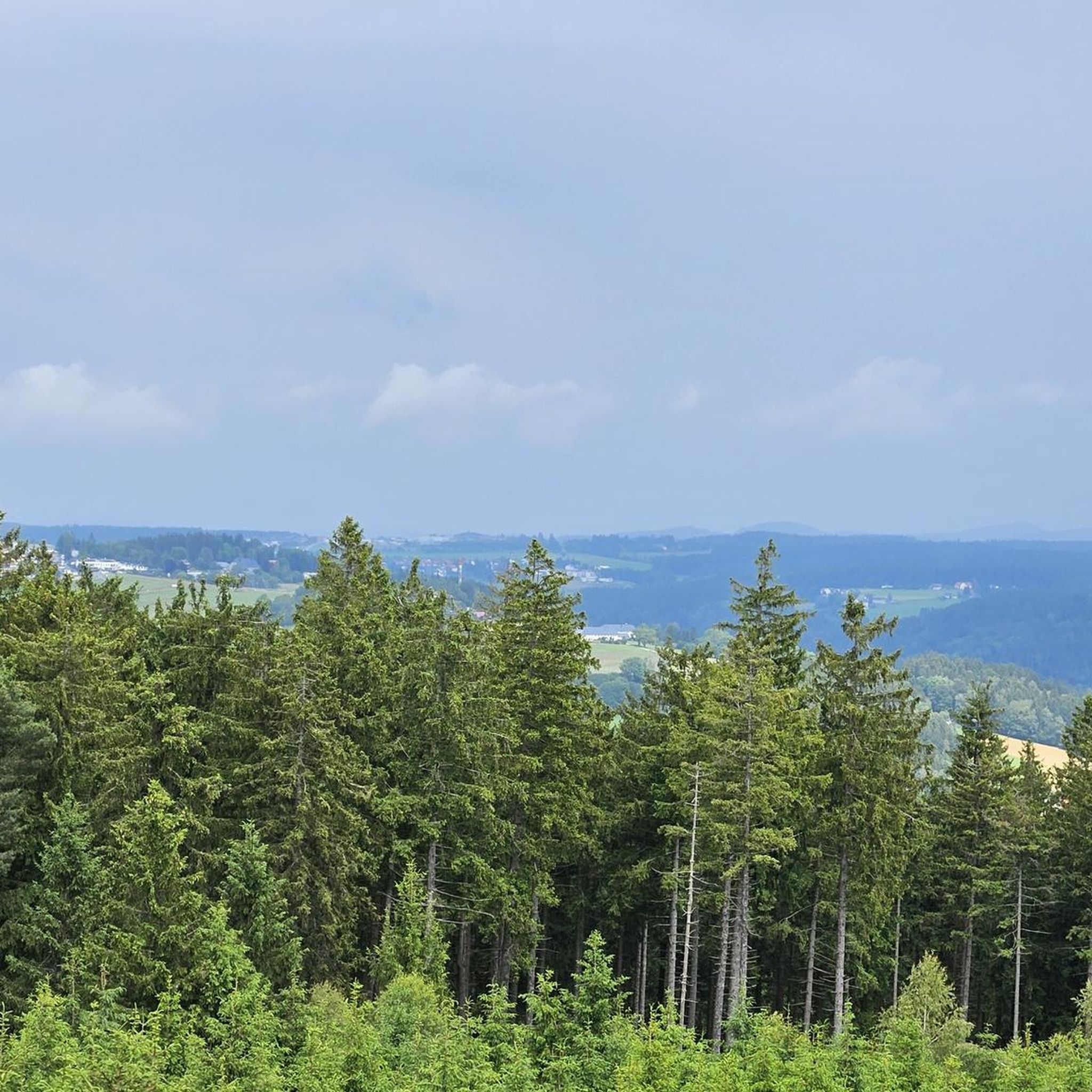
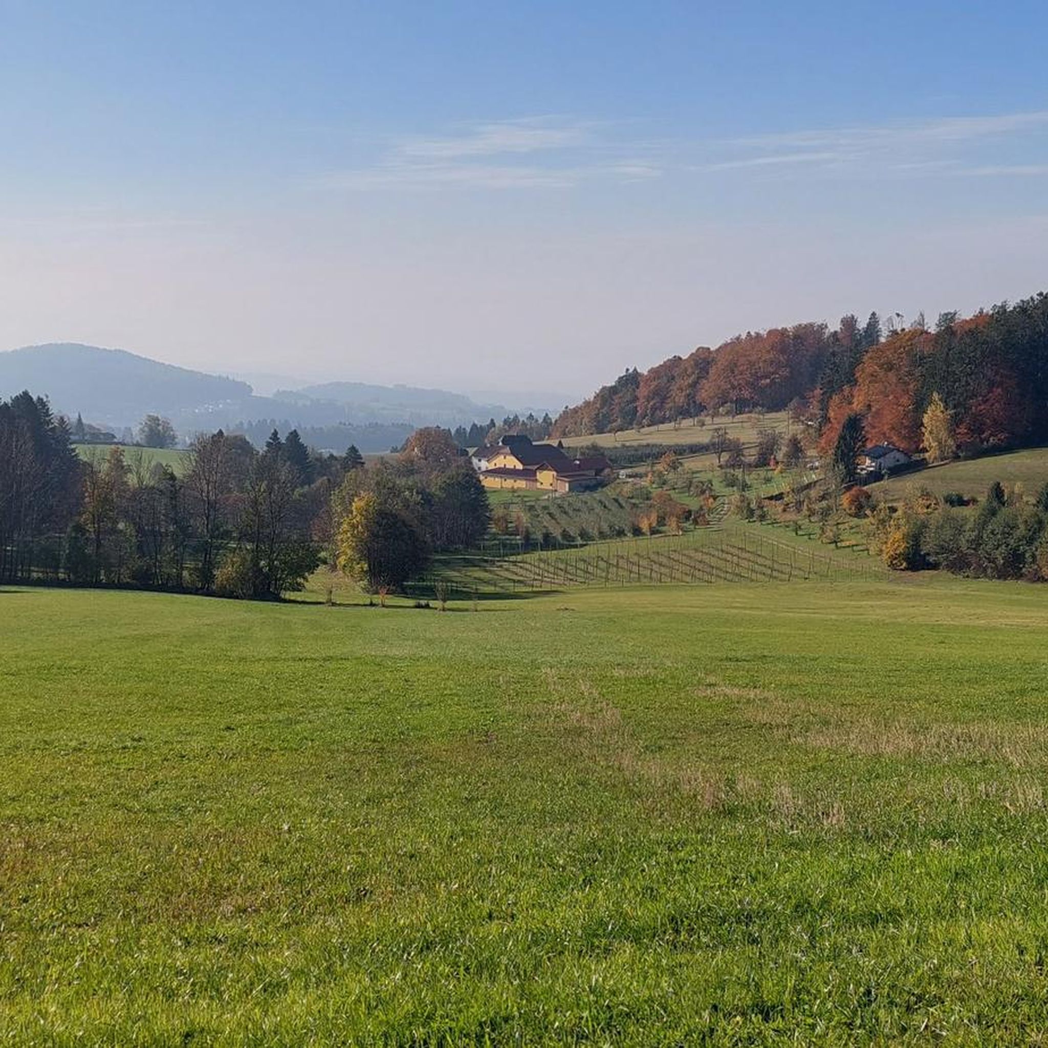
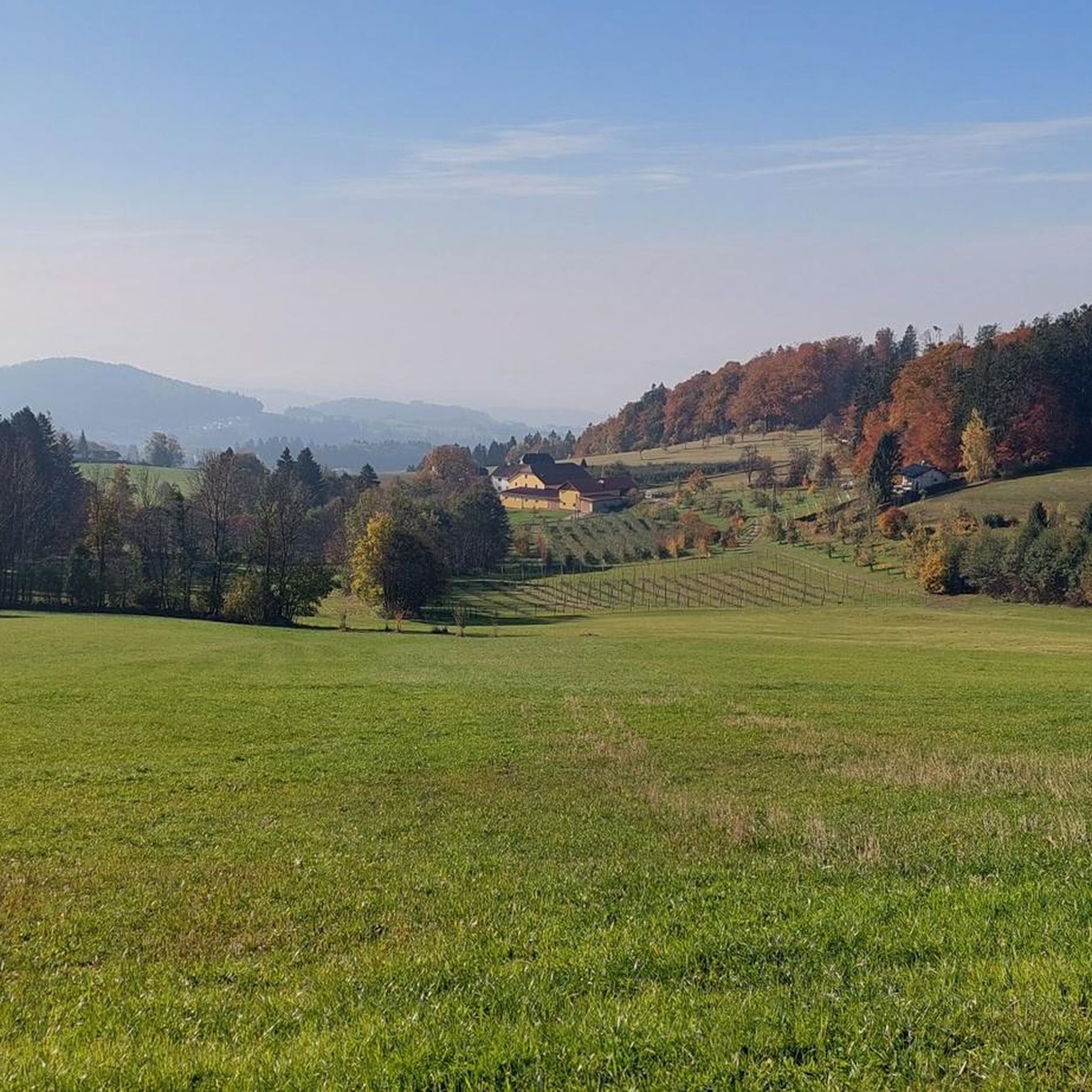

Tips from the Community

The summit cross on the Gis (Lichtenberg) was completely renewed and re-consecrated in June 2026!
3
0
The Giselawarte was built in 1856 and named after Princess Gisela, a daughter of Emperor Franz Joseph. In 1960, it was extended by two floors.
3
0
Giselawarte was built in 1856 and named after Princess Gisela, a daughter of Emperor Franz Joseph. In 1960, it was increased by two stories.
3
0
Built in 1856 and named after Princess Gisela, a daughter of Emperor Franz Joseph. In 1960, two stories were added.
3
0

Built in 1856, the Giselawarte is located at 927m above sea level.
0
0


Frequently Asked Questions
How many mountaineering routes are available in Schauerwald?
Schauerwald offers 12 mountaineering routes. The majority are moderate, with one difficult route for experienced mountaineers.
Are there challenging mountaineering routes in Schauerwald?
Yes, for those seeking a challenge, the Gis Transmitter and Rest Area – Giselawarte loop from St. Magdalena is rated as difficult. This 10.2-mile (16.5 km) route involves significant elevation gain and takes approximately 5 hours 10 minutes to complete.
What kind of terrain can I expect on mountaineering routes in Schauerwald?
The routes in Schauerwald traverse hilly terrain and extensive forest areas. You'll encounter varied elevations, with both ascents and descents through natural surroundings, often alongside finely branched watercourses.
Are there any circular mountaineering routes in Schauerwald?
Yes, many of the mountaineering routes in Schauerwald are circular. For example, the Zur Gis Inn – Giselawarte loop from Lichtenberg is a moderate 5.4-mile (8.6 km) loop that offers a comprehensive exploration of the area.
What are some notable viewpoints or landmarks along the mountaineering routes?
You can discover several impressive viewpoints and landmarks. Highlights include the Gisela Tower and Gisela Cross on Lichtenberg, the Giselawarte, and the Dr. Walter Amon Observation Tower on Breitenstein. The Giselawarte (GIS) Summit and Transmitter is also a prominent feature.
Are there places to eat or rest along the trails?
Yes, some routes pass by establishments where you can rest and get refreshments. The Zur Gis Inn and Eidenberger Alm are examples of places you might encounter near or on certain routes.
Are the mountaineering routes in Schauerwald suitable for families?
The moderate difficulty of most routes means they can be suitable for active families with older children. However, given the varied elevations and distances, it's always best to check the specific route details, such as the 8.7-mile (14.1 km) Zur Gis Inn – Dr. Alexander Brenner House loop from Gramastetten, to ensure it matches your family's fitness level.
Can I bring my dog on the mountaineering routes?
Many forest trails in Schauerwald are generally dog-friendly. However, it's advisable to check specific local regulations or any signage along the route you choose, such as the Lichtenberg Community Center – Bachlbergweg Forest Trail loop from St. Magdalena, regarding dogs, especially in nature protection areas.
What is the typical duration for a mountaineering route in Schauerwald?
Route durations vary depending on length and difficulty. Moderate routes, like the 9.8-mile (15.9 km) Giselawarte loop from Harbach, can take around 5 hours. Shorter routes, such as the 8.2-mile (13.2 km) Prinzenweg viewing point – Kürnbergkreuz loop from Ottensheim, are often completed in about 4 hours.
Are there any hidden gems or less-traveled routes in Schauerwald?
While the region is popular, exploring routes like the Koglerau – Koglerauer Spitz loop from Gramastetten can offer a sense of discovery. This 10.3-mile (16.5 km) moderate route takes you through varied terrain, providing a different perspective of Schauerwald's natural beauty.
Most popular routes in Schauerwald
Most popular attractions in Schauerwald

Get inspired with the komoot mobile app


Explore more
Browse the best Mountain Hikes & Routes in other regions.
