The best mountain hikes in Brunnwald
34
hikers
8
hikes
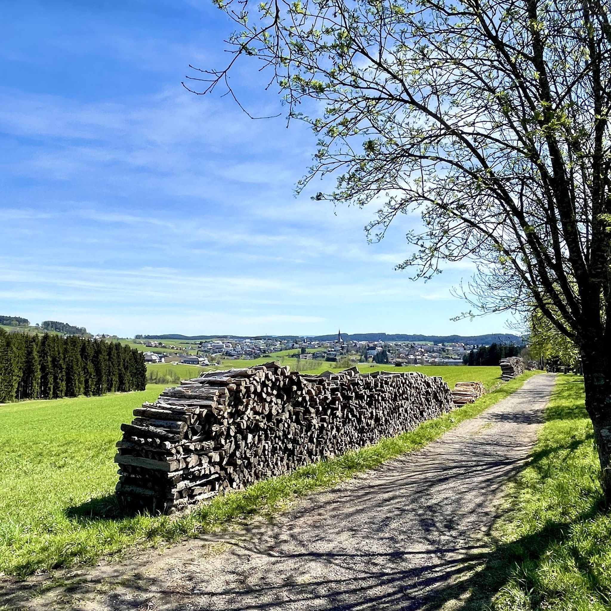
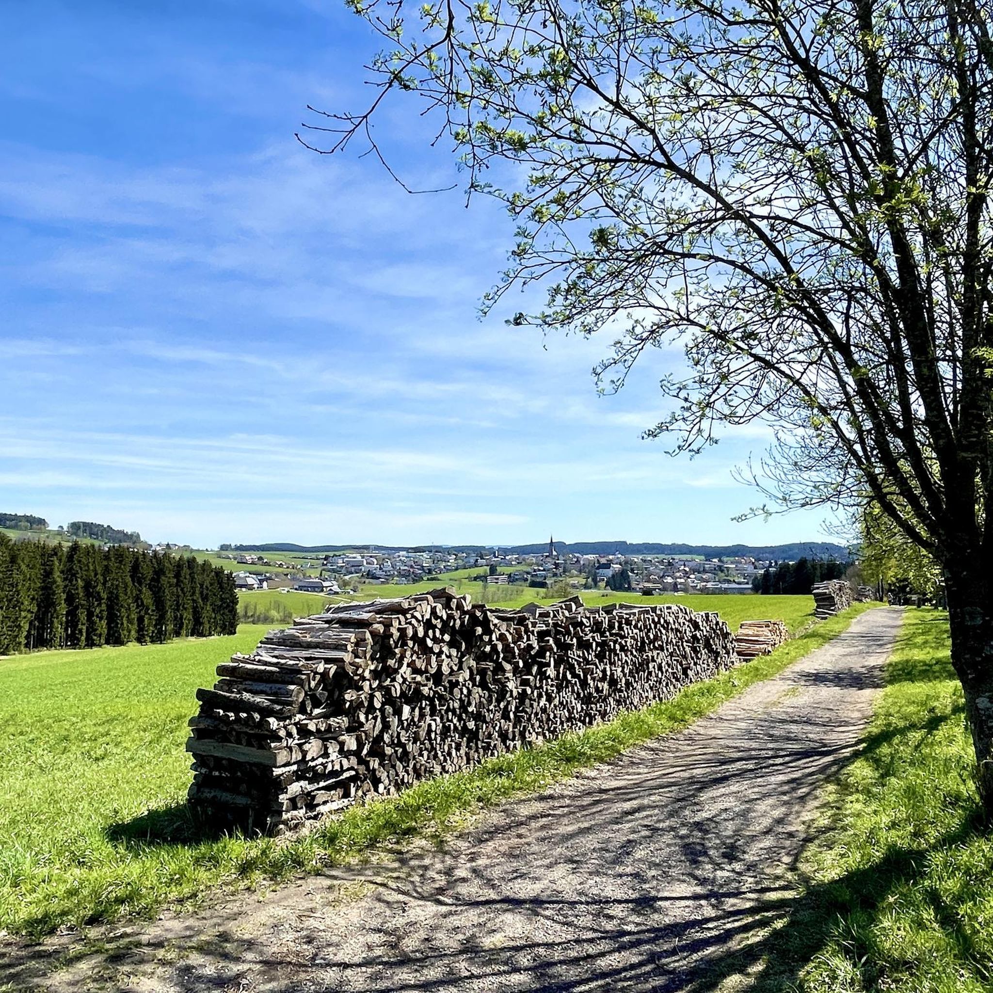
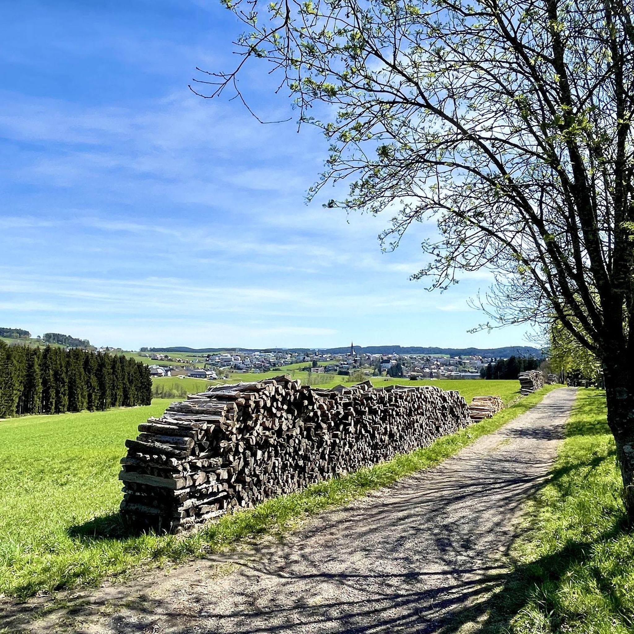
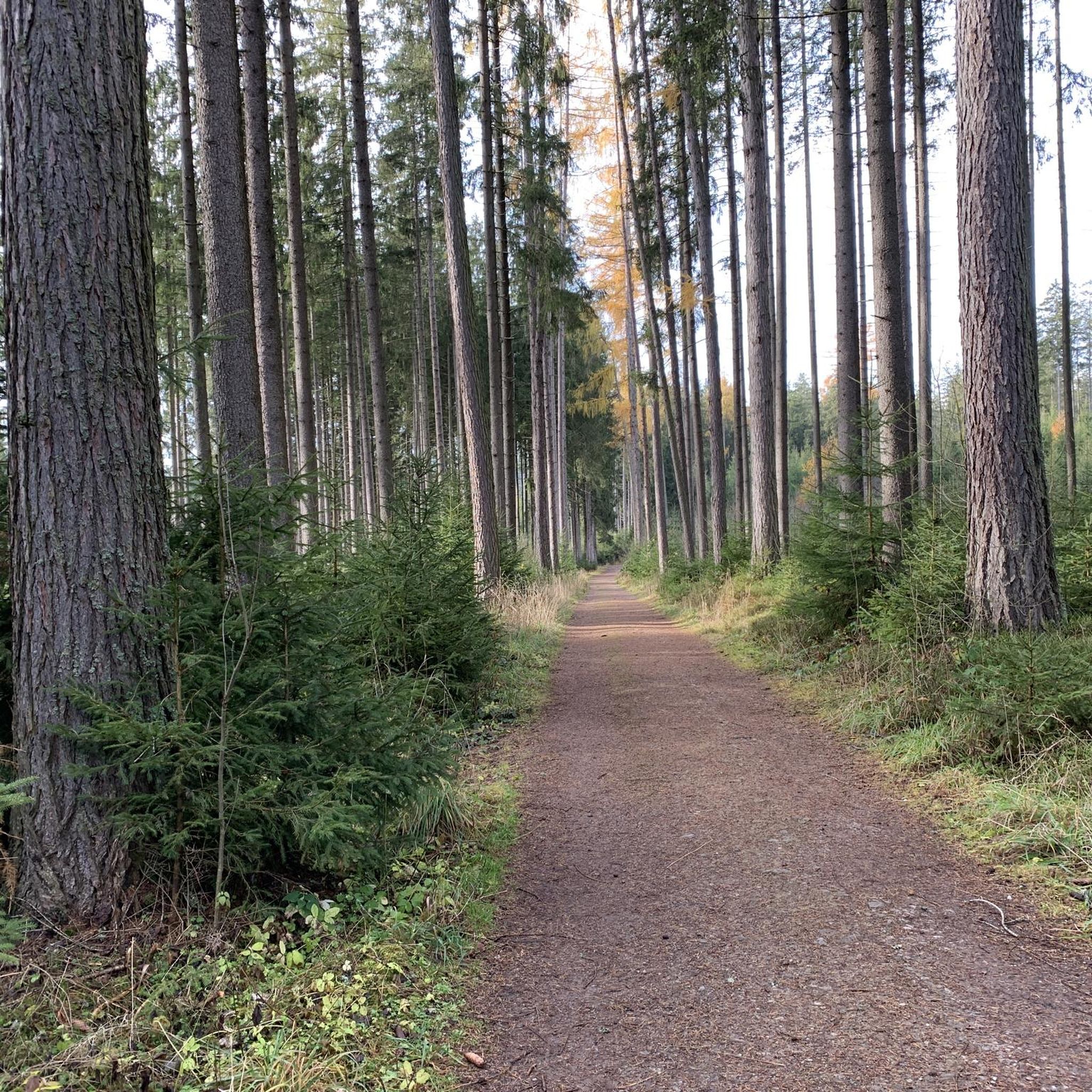
Mountaineering routes in Brunnwald traverse a landscape characterized by rolling hills and forested areas, offering diverse viewpoints. The region features notable landmarks such as the Sternstein Observation Tower and Waxenberg Castle Ruins. Elevation gains on these routes typically range from around 290 meters to over 460 meters, providing varied challenges for mountaineers.
Best mountaineering routes in Brunnwald
- The most popular mountaineering route is Mushroom rock in Silberhartschlag – Sternstein Observation Tower loop from Bad Leonfelden, a 9.7 miles (15.7…
Last updated: July 4, 2026
5
hikers
Moderate mountaineering route. Good fitness required. Easily-accessible paths. Suitable for all skill levels.
11
hikers
3.55km
01:09
160m
160m
Easy mountaineering route. Great for any fitness level. Easily-accessible paths. Suitable for all skill levels.

Sign up for free
3
hikers
9.37km
02:44
230m
230m
Moderate mountaineering route. Good fitness required. Easily-accessible paths. Suitable for all skill levels.
1
hikers
7.61km
02:26
320m
320m
Moderate mountaineering route. Good fitness required. Easily-accessible paths. Suitable for all skill levels.
6
hikers
5.94km
01:58
290m
290m
Easy mountaineering route. Great for any fitness level. Easily-accessible paths. Suitable for all skill levels.
Get access to more routes and recommendations from other explorers.
Sign up for free
Already have an account?
Our route recommendations are based on thousands of hikes, rides, and runs completed by other people on komoot.
Start today with a free account
Your next adventure awaits.
Login or Signup

Tips from the Community

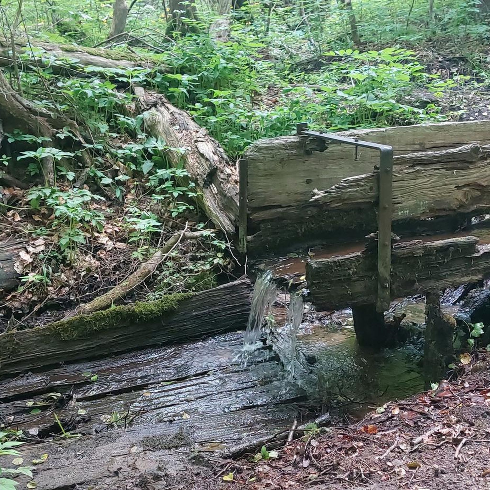
Water source: It is unclear whether the water runs year-round.
5
0


Beautifully maintained resting place at exactly 1000 m above sea level. Spring water is also drinkable. (No notice "Not for drinking")
1
0

"Homeland" Home is home If you don't have to leave then stay Because home is more important than the second mother's body (Franz Stelzhamer 1802-1874)
2
0
The Sternstein is 1125 m high and is located in the municipality of Vorderweißenbach. It is the highest elevation in the central Mühlviertel. The Sternsteinwarte, built in 1899, invites you to take a panoramic view from Bohemia to the Alps.
4
0

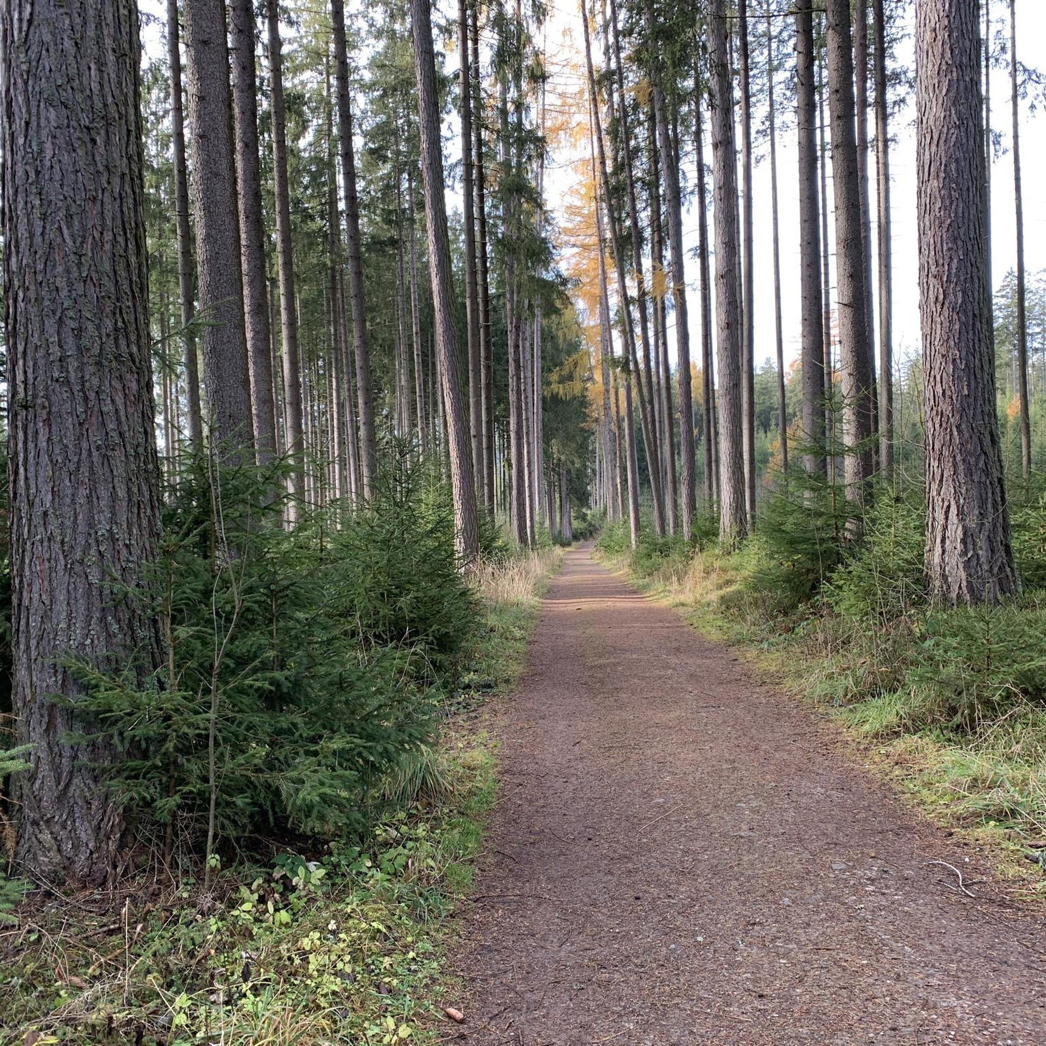
Many paths lead to the Sternstein.
3
0


A beautiful little peak, surrounded by trees and with a lookout towering above it! Wonderful view of the country!
3
0
Frequently Asked Questions
How many mountaineering routes are available in Brunnwald?
Brunnwald offers a selection of 8 mountaineering routes. These routes traverse rolling hills and forested areas, providing diverse viewpoints for explorers.
What are the typical difficulty levels for mountaineering routes in Brunnwald?
The mountaineering routes in Brunnwald primarily range from easy to moderate. There are 2 easy routes and 6 moderate routes, making the area accessible for various skill levels.
Are there any easy mountaineering routes suitable for beginners in Brunnwald?
Yes, Brunnwald has easy mountaineering routes perfect for beginners. An example is the Sternstein loop from Sternstein, a 3.6-mile (5.9 km) trail that can be completed in about 2 hours.
What kind of landscapes and natural features can I expect on Brunnwald's mountaineering routes?
Mountaineering in Brunnwald is characterized by rolling hills, dense forested paths, and panoramic viewpoints. The routes often lead through serene natural settings, offering a peaceful outdoor experience.
Are there any specific landmarks or points of interest to look out for along the routes?
Yes, several routes pass by notable landmarks. For instance, the Mushroom rock in Silberhartschlag – Sternstein Observation Tower loop from Bad Leonfelden features the Sternstein Observation Tower. Other attractions in the region include the Brunnwald Castle and the Moorwald Nature Discovery Trail.
Can I find circular mountaineering routes in Brunnwald?
Yes, many of Brunnwald's mountaineering routes are circular, allowing you to start and end at the same point. Examples include the popular Mushroom rock in Silberhartschlag – Sternstein Observation Tower loop from Bad Leonfelden and the Sternstein loop from Vorderweißenbach.
What are the typical elevation gains on Brunnwald's mountaineering routes?
Elevation gains on Brunnwald's mountaineering routes typically range from around 290 meters (950 feet) to over 460 meters (1,500 feet). This provides varied challenges, from gentle ascents to more demanding climbs.
Are the mountaineering routes in Brunnwald suitable for families?
While specific family-friendly designations are not provided, the presence of easy and moderate routes, along with attractions like the Moorwald Nature Discovery Trail and the Sensory Trail, suggests that some routes could be suitable for families looking for outdoor activities.
Are dogs allowed on the mountaineering trails in Brunnwald?
The guide data does not explicitly state rules regarding dogs on Brunnwald's mountaineering trails. It is generally advisable to check local regulations or signage at trailheads regarding pet policies before heading out with your dog.
What do other mountaineers say about their experience in Brunnwald?
The routes in Brunnwald are highly rated by the komoot community, with more than 30 mountaineers having used komoot to explore the varied terrain. Users often appreciate the diverse landscapes, from rolling hills to forested paths, and the panoramic viewpoints.
Are there any routes that offer panoramic viewpoints in Brunnwald?
Yes, Brunnwald's mountaineering routes are known for offering panoramic viewpoints. The Mushroom rock in Silberhartschlag – Sternstein Observation Tower loop from Bad Leonfelden, for example, passes by the Sternstein Observation Tower, which is a key spot for scenic views.
What is the best time of year for mountaineering in Brunnwald?
While the guide doesn't specify a 'best' time, the description of rolling hills and forested paths suggests that spring, summer, and autumn would all offer pleasant conditions for mountaineering, with varying foliage and weather. Winter conditions would likely require appropriate gear and experience.
Most popular routes in Brunnwald
Most popular attractions in Brunnwald

Get inspired with the komoot mobile app


Explore more
Browse the best Mountain Hikes & Routes in other regions.
