The best walks and hikes in Mexicali
4.4
(13)
66
hikers
5
hikes
Hiking in Mexicali offers diverse terrain, from desert landscapes to riverfront paths. The region is characterized by expansive deserts, including salt flats, and features hills and canal systems. These natural features provide varied hiking experiences for different skill levels.
Best hiking trails in Mexicali
- The most popular hiking route is Pilot Knob Mesa Trail, an easy 0.8 miles (1.2 km) trail that takes about 30 minutes to complete. This path offers views of the surrounding mesa.
- Another top favourite…
Last updated: October 10, 2026
1.25km
00:29
140m
0m
The Pilot Knob Mesa Trail, also known as Avi Kwalal, offers a unique desert hiking experience, packing 461 feet (140 metres) of elevation gain into just 0.8 miles (1.2 km).…
4.0
(2)
12
hikers
4.23km
01:04
10m
10m
The Charles Flynn Riverfront Trail offers a serene escape into one of the desert Southwest's most impressive wetlands restoration areas. As you walk, you'll enjoy pleasant riverfront views, passing by…

1
hikers
11.8km
03:00
20m
20m
The East Main Canal Path offers a pleasant, accessible journey through Yuma's unique landscape, following the historic Yuma Main Canal. You'll experience a mix of paved and unpaved surfaces, passing…
4.3
(4)
17
hikers
4.17km
01:12
100m
100m
Easy hike. Great for any fitness level. Easily-accessible paths. Suitable for all skill levels.
5.0
(2)
18
hikers
7.08km
02:48
300m
300m
Moderate hike. Good fitness required. Mostly accessible paths. Sure-footedness required.
Our route recommendations are based on thousands of hikes, rides, and runs completed by other people on komoot.
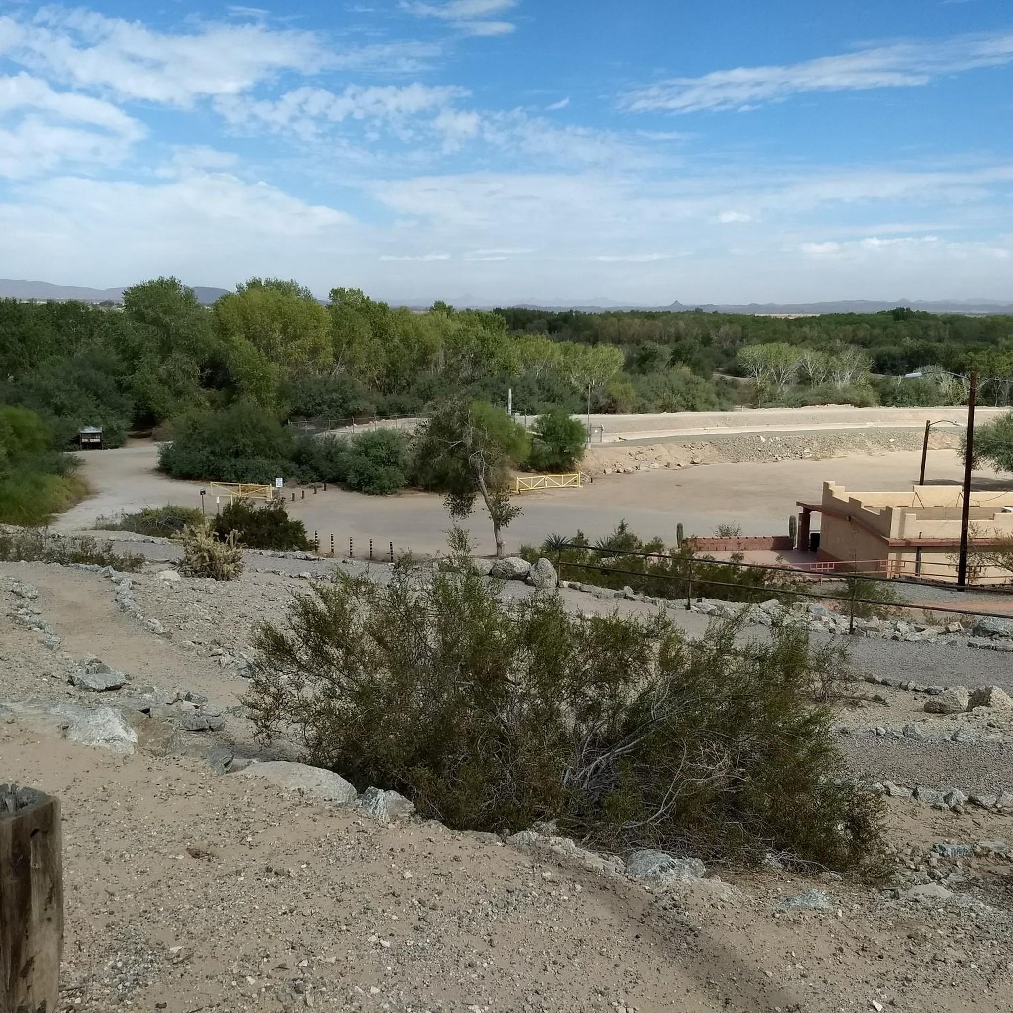
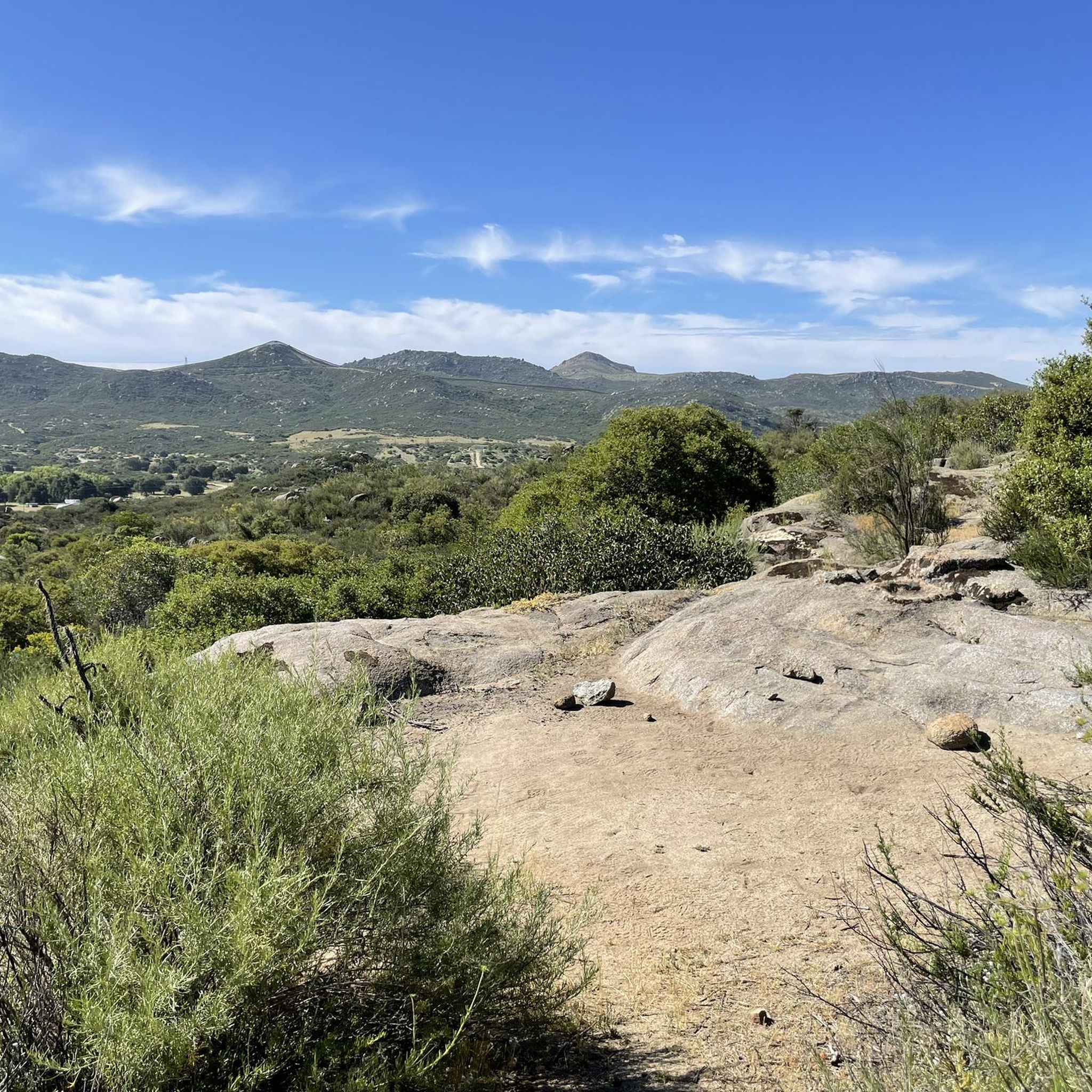
Tips from the Community

This is a convenient place for hiking and mountain biking. It has a guarded parking lot from 5:00 am, and is very popular during the day and at night.
0
0

West Wetlands Park in Yuma, Arizona, is a 110-acre park situated along the Colorado River near downtown Yuma. The park features two sections: the Upper Bench, with a lake and picnic areas, and the Lower Bench, which boasts native vegetation and two sandy beaches: Centennial Beach and Playa Linda. Visitors can enjoy fishing, boating, hiking trails, and a hummingbird garden. There is also the the Stewart Vincent Wolfe Creative Playground for children. The Yuma Crossing Bike Path (Colorado River Levee Multi-Use Path) also starts near this park, making West Wetlands Park a great place to start or end a ride.
0
0

As part of the Yuma Project, which was built to irrigate over 68,000 acres of land and support year-round farming, this main canal siphons its water from the Colorado River near this point.
0
0
Constructed in 1915, the Yuma Project built canals to help irrigate homes and farms in the desert area of Yuma. Later, this trail was created for outdoor enthusiasts to enjoy the views and sounds of water meandering along the canal for nearly 6-miles.
0
0
In January 1847, the Mormon Battalion arrived at and crossed the Colorado River near this point. Comprising more than 500 volunteer soldiers from the Mormon Pioneers, the battalion served in the United States Army during the war with Mexico.
0
0
This pond is a very popular fishing spot, and you'll regularly see many people fishing here. A nice trail encircles the pond, and a nearby park with several amenities makes it a must-see on your hike.
0
0
Playa Linda, meaning "beautiful beach" in Spanish, is a charming sandy area that feels like a hidden beach in the middle of the forest. This sandy spot leads to the Colorado River, making it a great place to take a break in the park.
0
0
Frequently Asked Questions
How many hiking trails are available in Mexicali?
Currently, there are 5 hiking trails available in Mexicali. These routes offer a range of experiences, from easy strolls to more challenging treks, allowing you to explore the diverse landscapes of the region.
What is the best time of year to go hiking in Mexicali?
The best time for hiking in Mexicali is generally during the milder seasons, such as spring or fall. It's advisable to avoid hiking during the summer months due to extreme heat, which can make outdoor activities challenging and potentially unsafe.
Are there any easy or family-friendly hiking options in Mexicali?
Yes, Mexicali offers several easy hiking options suitable for families or those looking for a relaxed outing. For instance, the Charles Flynn Riverfront Trail provides a gentle path along the river, and the Pilot Knob Mesa Trail is another easy option. The Cerro Prieto, a dormant volcano, also offers a relaxing and easily accessible hike with magnificent views, suitable for families.
Are there any circular hiking routes in Mexicali?
Yes, there are a couple of circular routes available for hikers in Mexicali. You can explore the Parking lot of Parque Ciempés loop from Progreso, which is an easy circuit. Another option is the El Altar loop from Viveros, which offers a moderate challenge. The 'El Ciempiés' Trail, a recognized circuit route, is also a popular choice in the region.
What kind of terrain can I expect on Mexicali's hiking trails?
Mexicali's hiking trails offer a diverse range of terrain. You'll find everything from rocky mountain paths, such as those on Cerro El Centinela, to expansive desert landscapes like the Valle de los Gigantes with its towering cacti. Some trails also feature serene salt flats, like Laguna Salada, or riverfront paths.
Are there any hikes with significant viewpoints or panoramic vistas?
Absolutely. Many trails in Mexicali offer stunning panoramic views. Cerro Prieto rewards climbers with magnificent views from the top. Cerro El Centinela provides well-marked trails with breathtaking vistas of the Mexicali Valley, Laguna Salada, and the Sierra de Juarez. The Ruta del Cobre also offers panoramic views of the city below.
Can I find any unique natural features or attractions along the trails?
Yes, Mexicali's region is rich in unique natural features. The Guadalupe Canyon Oasis, for example, boasts waterfalls, palm trees, healing mineral hot springs, and natural swimming holes. Cerro Prieto is known for a distinctive vulture-shaped symbol etched into its crater. The Valle de los Gigantes features towering cacti, and Laguna Salada offers serene salt flats and opportunities for birdwatching.
What do other hikers enjoy most about hiking in Mexicali?
The komoot community rates hiking in Mexicali highly, with an average score of 4.4 stars. Hikers often praise the diverse landscapes, from mountains to deserts, and the stunning panoramic views available from peaks like Cerro El Centinela. The unique natural features, such as the Guadalupe Canyon Oasis, are also frequently highlighted as memorable experiences.
Are there any longer or more challenging hikes for experienced adventurers?
For those seeking a significant challenge, Picacho del Diablo is Baja California's highest peak, rewarding hikers with unparalleled vistas from its summit. The Valle de los Gigantes also offers a challenging experience for seasoned hikers with its rugged desert terrain. The East Main Canal Path is a moderate, longer route at over 11 km.
Are there any trails that offer a mix of nature and cultural interest?
Yes, the Guadalupe Canyon Oasis not only offers natural beauty like waterfalls and hot springs but also features indigenous caves with paintings from the Cucapa tribe, providing a blend of natural beauty and cultural history. The Ruta del Cobre also takes hikers past old mining sites, adding a historical dimension to the natural scenery.
Most popular routes in Mexicali

Get inspired with the komoot mobile app


Didn’t find what you were looking for?
Check out more Hikes throughout Mexicali below and find the perfect route in your destination.
