The best mountain hikes in Unteres Würmtal
5.0
(2)
6
hikers
3
hikes
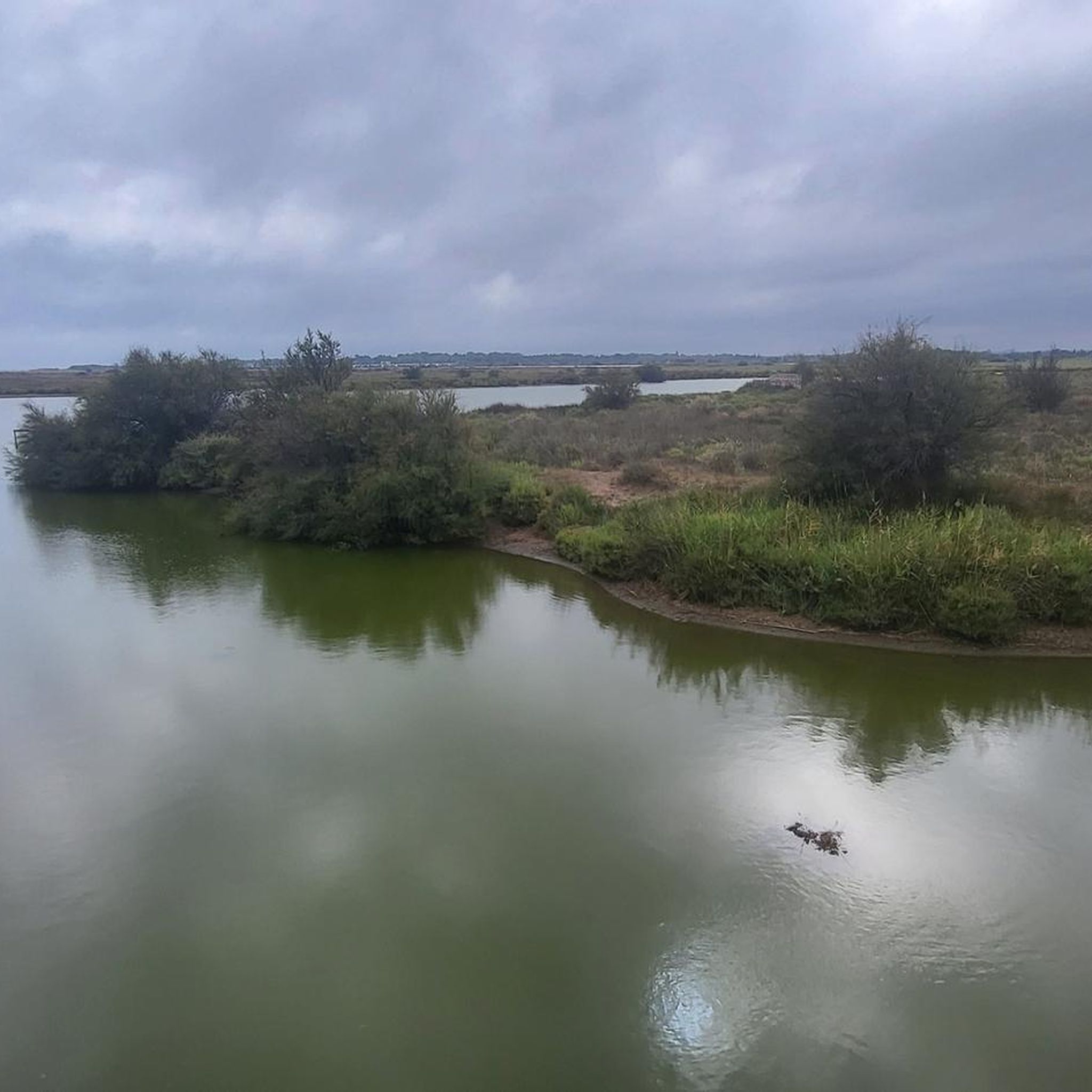
Mountaineering routes in Unteres Würmtal are situated within a nature reserve in a largely undeveloped Black Forest valley. The region features elevations between 252 and 370 meters above sea level, characterized by low-lying hills and the Würm river. While primarily known for cycling and hiking, the area offers routes that traverse its scenic, tranquil landscapes. The geological features of Unteres Würmtal are not typical for traditional mountaineering.
Best mountaineering routes in Unteres Würmtal
- The most popular mountaineering route is Kneipp…
Last updated: September 30, 2026
5.0
(1)
4
hikers
9.82km
02:52
270m
260m
Moderate mountaineering route. Good fitness required. Easily-accessible paths. Suitable for all skill levels.
5.0
(1)
1
hikers
7.74km
02:12
170m
170m
Moderate mountaineering route. Good fitness required. Easily-accessible paths. Suitable for all skill levels.

1
hikers
17.0km
04:33
200m
200m
Moderate mountaineering route. Good fitness required. Easily-accessible paths. Suitable for all skill levels.
Our route recommendations are based on thousands of hikes, rides, and runs completed by other people on komoot.
Start today with a free account
Your next adventure awaits.
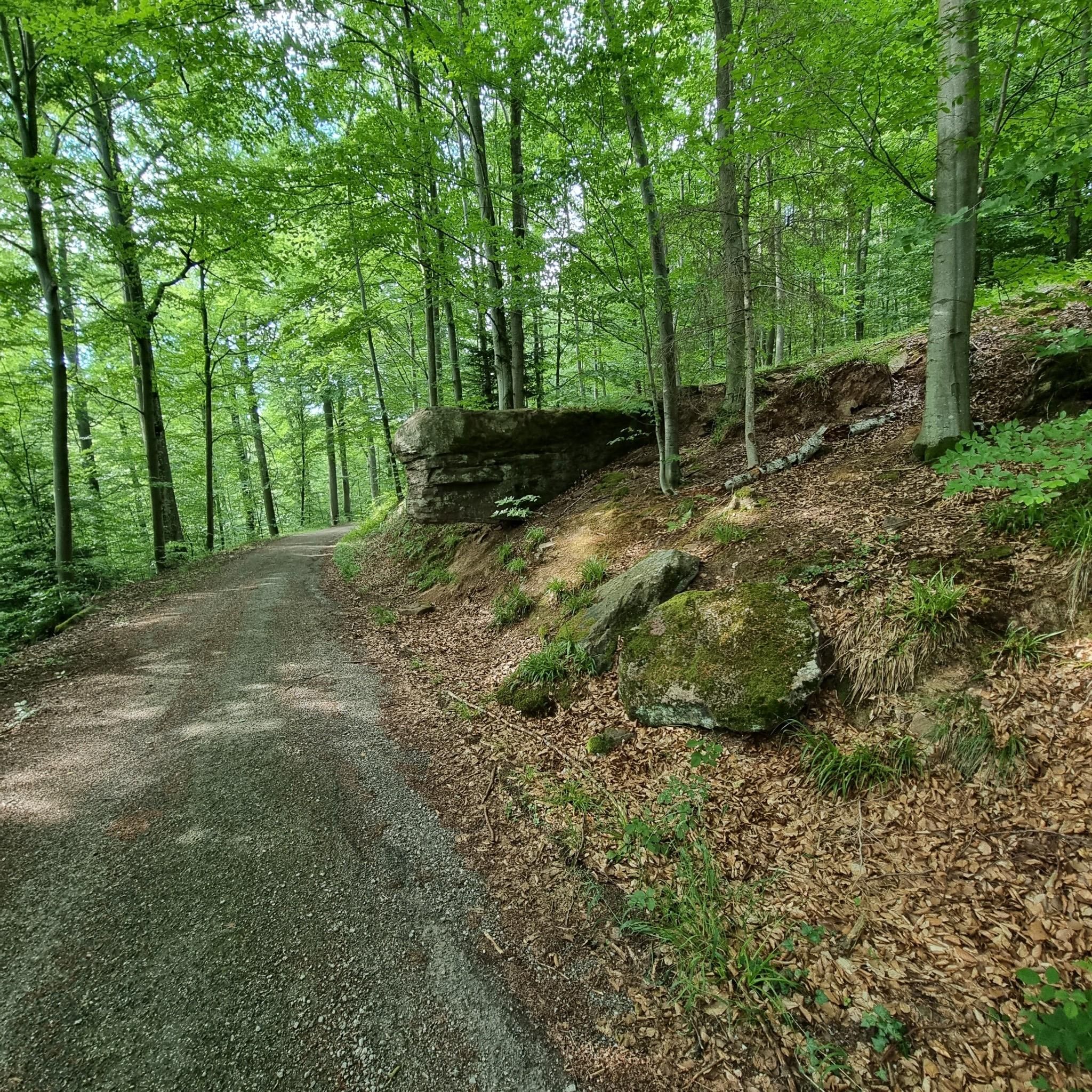
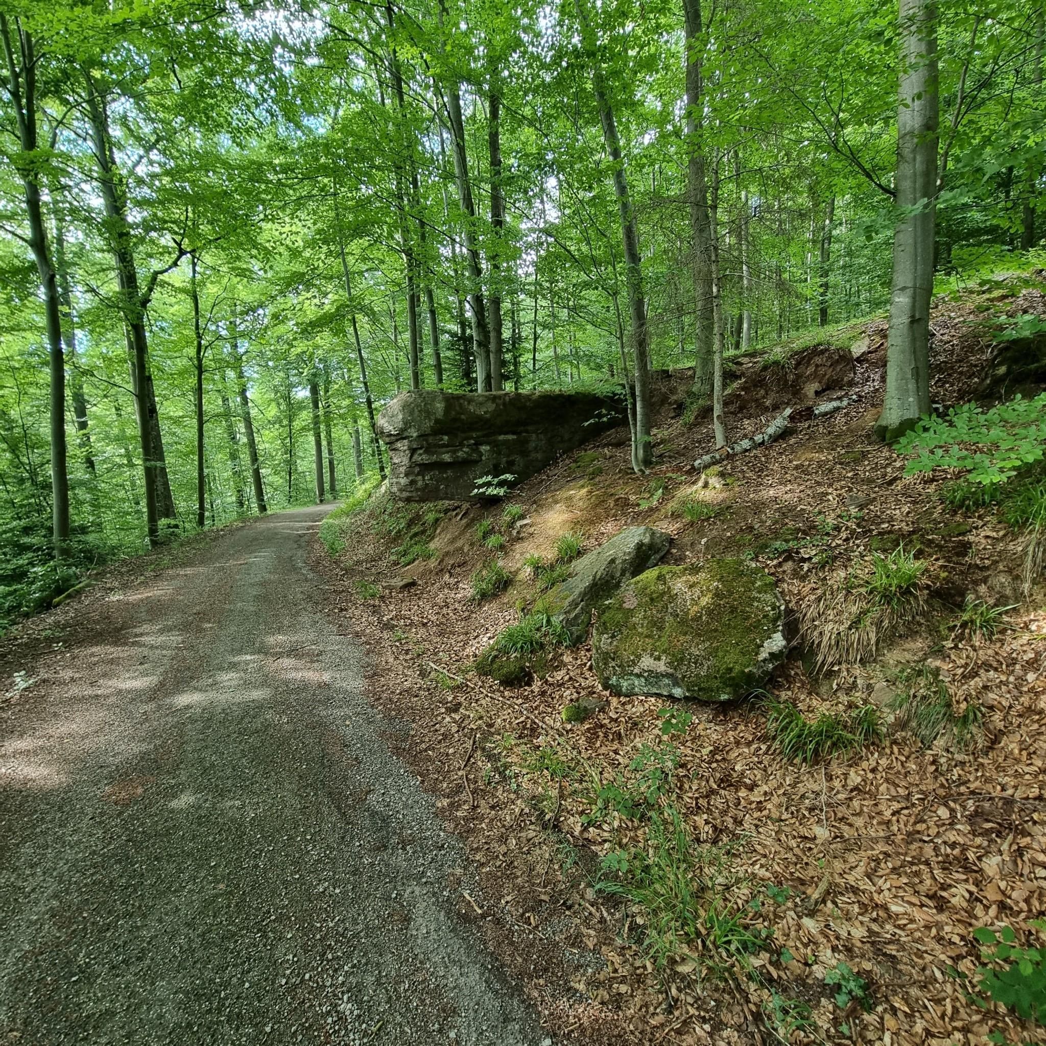
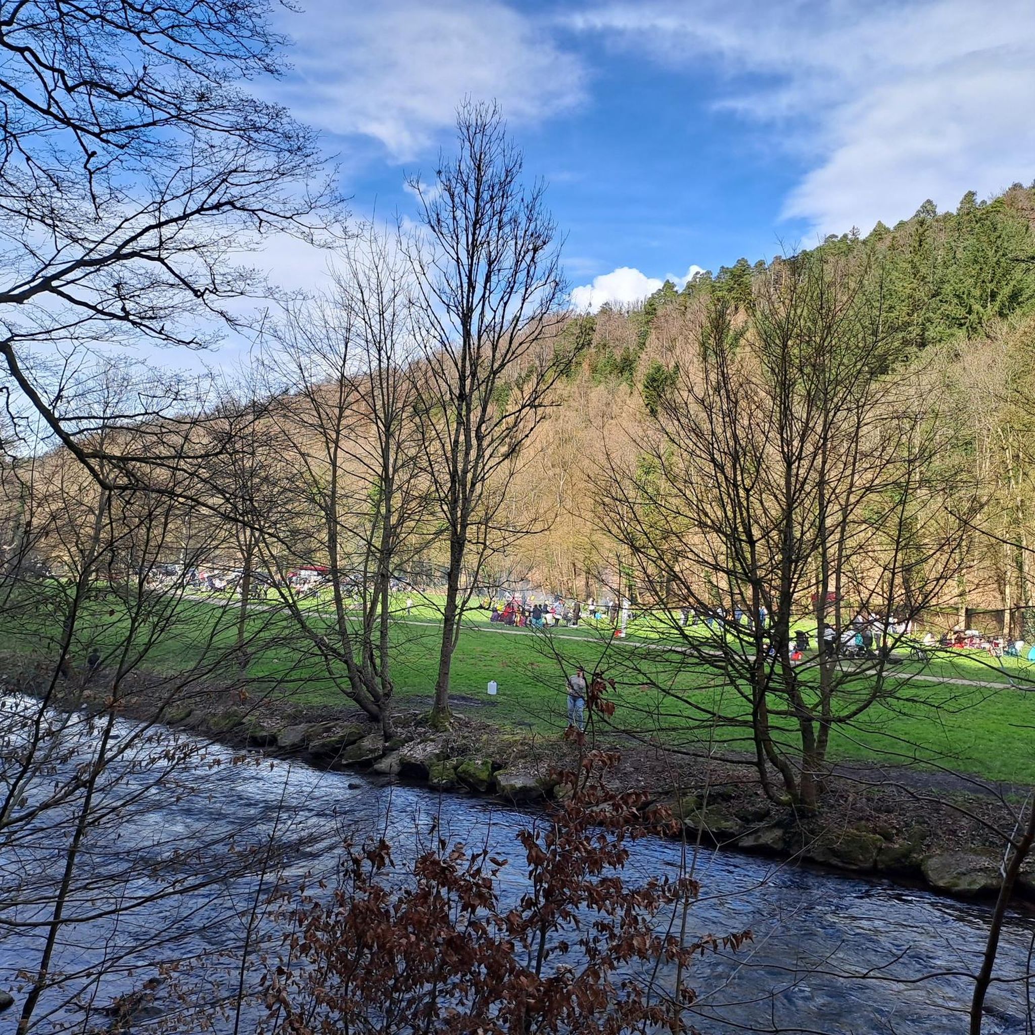
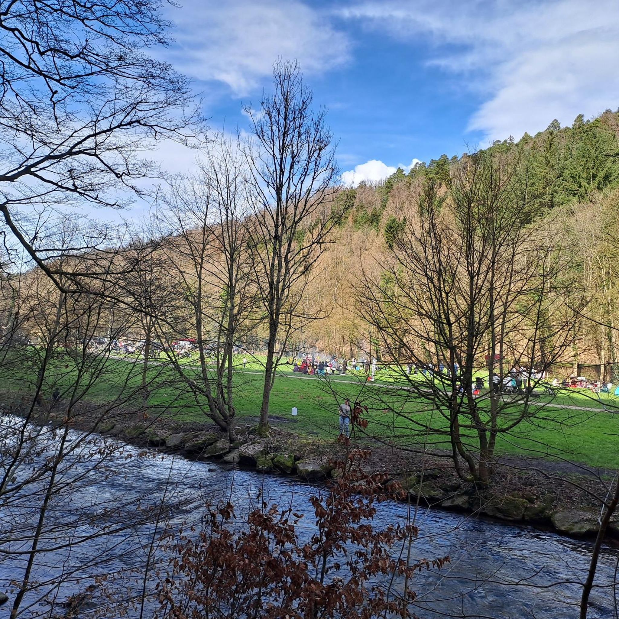
Tips from the Community

Always nice to cross the stream
2
0

In 1477, a chapel to the Holy Cross is mentioned; it stood where the monument to the victims of the World Wars stands today. In 1802/03, it was replaced by a proper, albeit unpretentious, church at the current location, which was extended by the choir in 1908, when Monakam became an independent municipality together with Unterhaugstett.
3
0

The last sausage on December 31st from 11 am to 5 pm. Always worth it. Everyone's in a good mood.
0
0

Be careful, it can be slippery, good footwear is not a bad idea.
0
0
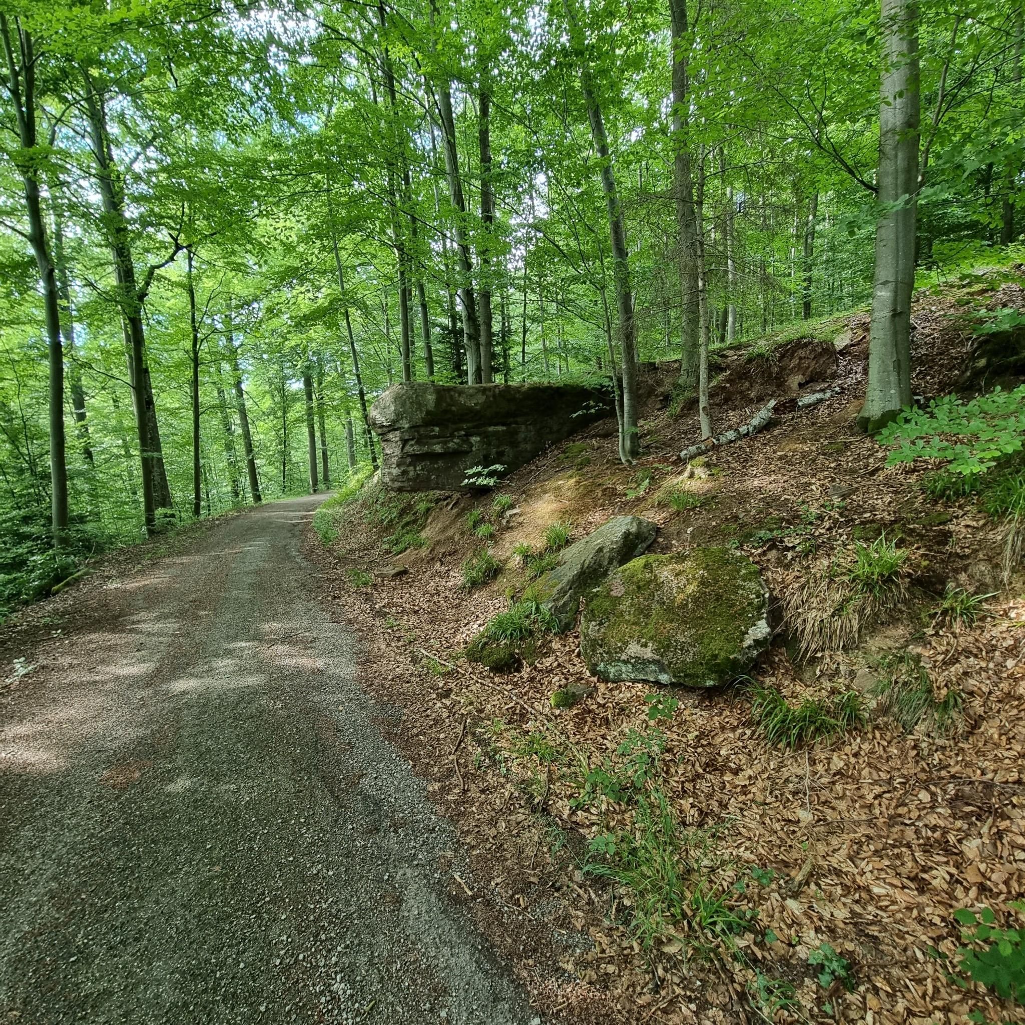
Simply a fantastic hike, very idyllic, one could say.
0
0


Very beautiful church.
3
1
Frequently Asked Questions
What kind of outdoor experience can I expect in Unteres Würmtal?
Unteres Würmtal offers a tranquil outdoor experience, primarily characterized by gentle walks and scenic paths along the Würm river within a largely undeveloped Black Forest valley. The region features low-lying hills with elevations between 252 and 370 meters, making it ideal for leisurely hikes and cycling rather than traditional mountaineering.
Are there any routes suitable for beginners or families in Unteres Würmtal?
Yes, the routes in Unteres Würmtal are generally moderate in difficulty, making them suitable for beginners and families looking for scenic walks. For example, the Lower Kapfenhardter Mill – Eulenbach Trail loop from Kapfenhardt is a pleasant 4.8 miles (7.7 km) path through forested areas, often completed in just over two hours.
Can I bring my dog on the trails in Unteres Würmtal?
Most trails in Unteres Würmtal are dog-friendly, offering plenty of natural surroundings for you and your canine companion to enjoy. It's always a good idea to keep your dog on a leash, especially in nature reserve areas, and to be mindful of local regulations.
What is the best time of year to explore Unteres Würmtal?
The best time to explore Unteres Würmtal is typically from spring through autumn. During these seasons, the weather is generally mild, and the natural landscape, particularly the Black Forest valley and river paths, is at its most vibrant and accessible. Winter can also be beautiful, but some paths might be slippery or less maintained.
Are there any circular routes available in Unteres Würmtal?
Yes, several routes in Unteres Würmtal are designed as loops, allowing you to start and end at the same point. A popular option is the Kneipp Becken loop from Monbach-Neuhausen, which is 6.8 miles (10.9 km) and offers moderate ascents through the valley.
What interesting sights or natural features can I see along the routes?
Along the routes in Unteres Würmtal, you can discover various natural and historical points of interest. The Würm Valley and the Würm River itself are central features. You might also encounter the Liebeneck Castle Ruins or explore the Liebeneck Bannwald Nature Trail, offering a glimpse into the region's rich natural and cultural heritage.
How long do the routes in Unteres Würmtal typically take to complete?
The routes in Unteres Würmtal vary in length and duration. For instance, the Kneipp Becken loop from Monbach-Neuhausen takes approximately 3 hours and 5 minutes, while the Lower Kapfenhardter Mill – Eulenbach Trail loop from Kapfenhardt can be completed in about 2 hours and 12 minutes. The longest route in this guide, Old Quarry on Betzenbuckel – Schlegler Castle loop from Heimsheim, is about 10.7 miles (17.2 km) and takes around 4 hours and 36 minutes.
Are there any advanced or challenging routes for experienced mountaineers?
Unteres Würmtal is not characterized by challenging mountaineering terrain. The region's low-lying hills and river valleys are better suited for moderate hikes and walks rather than advanced mountaineering. If you are seeking high-altitude or technically demanding routes, you might consider destinations like the Bavarian Alps or other Alpine regions.
What do other users say about the routes in Unteres Würmtal?
The routes in Unteres Würmtal are highly regarded by the komoot community, with an average rating of 5.0 stars. Users often praise the tranquil atmosphere, the scenic beauty of the Black Forest valley, and the well-maintained paths that make for enjoyable and accessible outdoor experiences.
Is public transport available to access the routes in Unteres Würmtal?
While specific public transport connections to every trailhead may vary, the towns and villages surrounding Unteres Würmtal are generally accessible by local bus services or regional trains. It's advisable to check local transport schedules for the most convenient access points to your chosen route.
Are there places to eat or get refreshments near the trails?
Yes, you can often find cafes, restaurants, or traditional German Gasthäuser in the villages and towns located within or near the Unteres Würmtal, such as Bad Liebenzell or Monbach-Neuhausen. These establishments offer opportunities for refreshments and meals before or after your walk.
Most popular routes in Unteres Würmtal
Most popular attractions in Unteres Würmtal

Get inspired with the komoot mobile app


