The best mountain hikes in Würm-Heckengäu
5.0
(2)
10
hikers
3
hikes
Mountaineering routes in Würm-Heckengäu traverse a diverse landscape characterized by its designation as a nature and landscape protection area. The region features varied topography, including extensive forest trails, juniper heaths, and dry grasslands. Elevations generally range from 470 meters to 590 meters above sea level, with the Würm River flowing through the area. This provides a mix of challenging ascents and descents across its hilly terrain.
Best mountaineering routes in Würm-Heckengäu
- The most popular mountaineering route is Henry-See – Beilfelsen…
Last updated: July 10, 2026
5.0
(1)
1
hikers
Moderate mountaineering route. Good fitness required. Easily-accessible paths. Suitable for all skill levels.
5.0
(1)
4
hikers
9.71km
02:50
260m
260m
Moderate mountaineering route. Good fitness required. Easily-accessible paths. Suitable for all skill levels.

Sign up for free
4
hikers
Moderate mountaineering route. Good fitness required. Mostly accessible paths. Sure-footedness required.
1
hikers
17.0km
04:33
200m
200m
Moderate mountaineering route. Good fitness required. Easily-accessible paths. Suitable for all skill levels.
Our route recommendations are based on thousands of hikes, rides, and runs completed by other people on komoot.
Start today with a free account
Your next adventure awaits.
Login or Signup
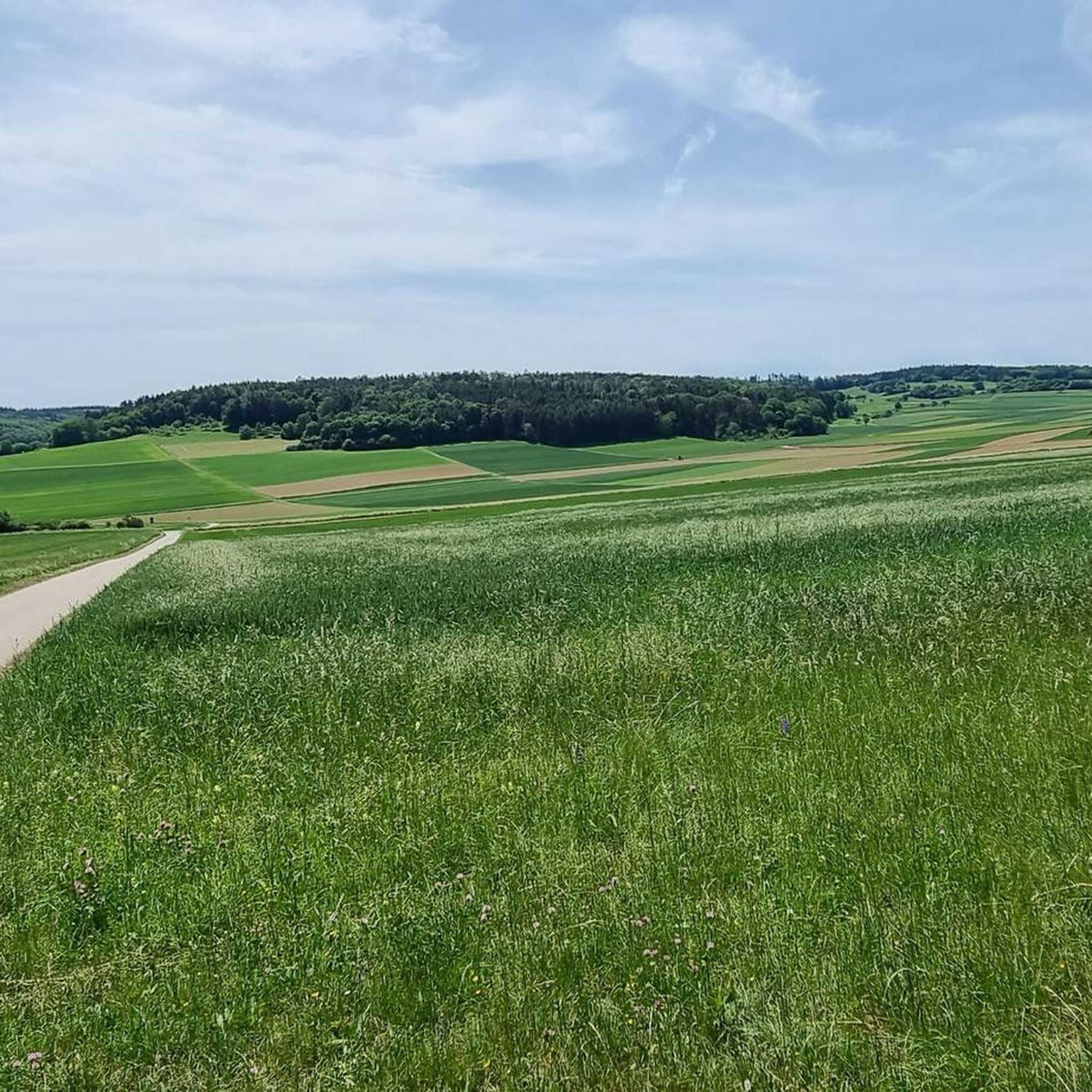
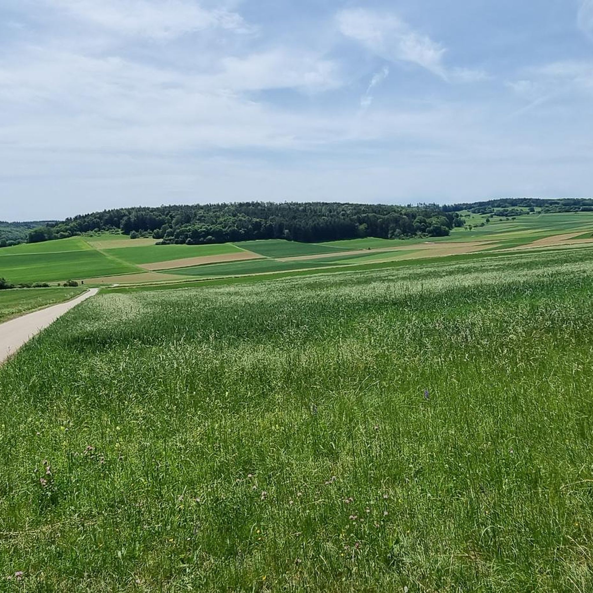
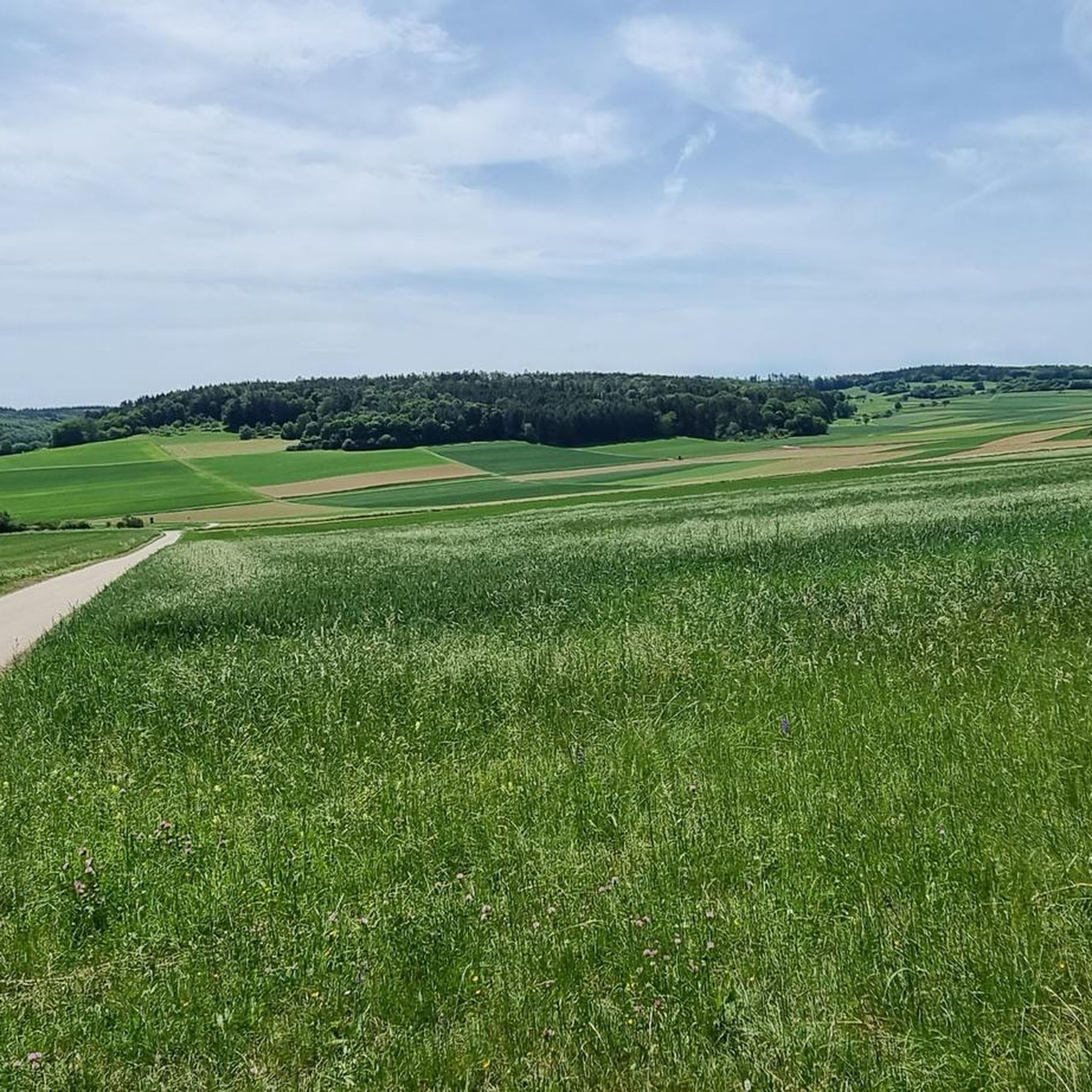
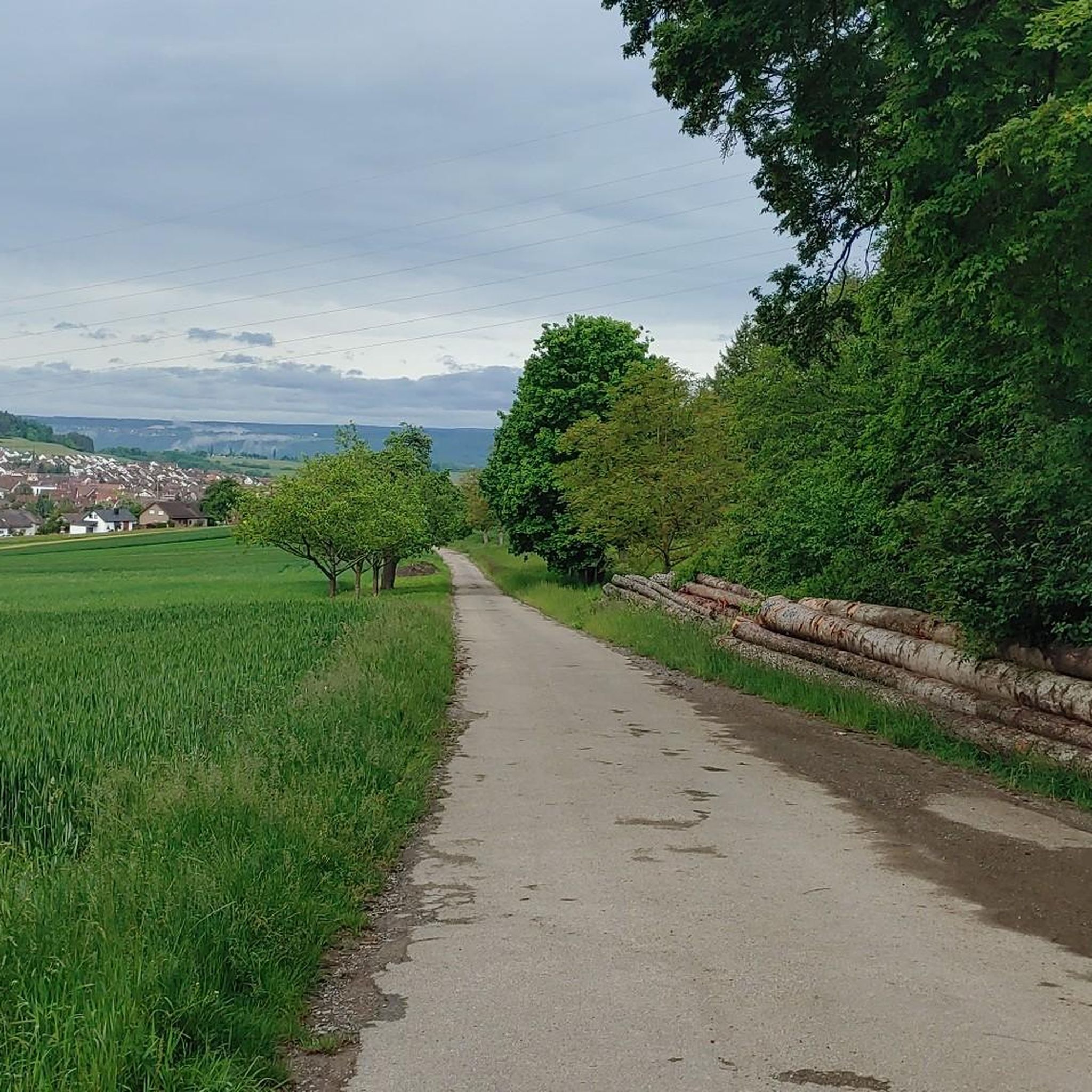
Tips from the Community

In 1477, a chapel to the Holy Cross is mentioned; it stood where the monument to the victims of the World Wars stands today. In 1802/03, it was replaced by a proper, albeit unpretentious, church at the current location, which was extended by the choir in 1908, when Monakam became an independent municipality together with Unterhaugstett.
2
0

Bad Teinach-Zavelstein is a town with 3,220 inhabitants (as of December 31, 2024) in the Calw district of Baden-Württemberg. The town belongs to the Northern Black Forest region. This health resort lies approximately five kilometers west of the district capital, Calw, and is, along with Bad Herrenalb, Bad Liebenzell, and Bad Wildbad, one of the four spa towns in the Calw district. Bad Teinach-Zavelstein is widely known for its crocus blossoms. On October 1, 2022, the Zavelstein district was officially designated the "Crocus Town."[2] Source: https://de.wikipedia.org/wiki/Bad_Teinach-Zavelstein
0
0
Following traditional models, the working group for local heritage preservation within the Black Forest Association has set up a blacksmith's shop at the fortified tower. This is accompanied by an exhibition providing information about the blacksmith's craft and the unique features of Zavelstein.
0
0

The last sausage on December 31st from 11 am to 5 pm. Always worth it. Everyone's in a good mood.
0
0

A beautiful, well-preserved castle ruin in a picturesque village.
1
0

Be careful, it can be slippery, good footwear is not a bad idea.
0
0
Simply a fantastic hike, very idyllic, one could say.
0
0
Frequently Asked Questions
What kind of terrain can I expect on mountaineering routes in Würm-Heckengäu?
The Würm-Heckengäu region offers a diverse landscape for mountaineering. You'll encounter extensive forest trails, open fields, and areas characterized by juniper heaths and dry grasslands. The routes often feature varied gradients and hilly terrain, providing a good mix of ascents and descents. The presence of the Würm River also adds riparian landscapes to some routes.
Are there suitable mountaineering routes for beginners in Würm-Heckengäu?
Yes, Würm-Heckengäu offers several routes suitable for those with good basic fitness and sure-footedness, which are categorized as moderate. For instance, the Zavelstein Town Hall Fountain – Zavelstein Historic Center loop from Bad Teinach-Zavelstein is a shorter moderate option, covering about 7.5 km. These routes are a great way to experience the region's challenging hikes without requiring advanced alpine experience.
How long do the mountaineering trails in Würm-Heckengäu typically take to complete?
The duration of mountaineering trails in Würm-Heckengäu varies depending on the route and your pace. For example, the Mountaineering loop from Bad Liebenzell, which is about 9.8 km long, typically takes around 2 hours 51 minutes. Longer routes, such as the Henry-See – Beilfelsen loop from Holzbronn (16.6 km), can take closer to 5 hours.
Are there any circular mountaineering routes in Würm-Heckengäu?
Yes, many of the mountaineering routes in Würm-Heckengäu are designed as circular walks, allowing you to start and end at the same point. Examples include the Henry-See – Beilfelsen loop from Holzbronn and the Mountaineering loop from Bad Liebenzell, both offering a complete circuit through the diverse landscapes.
What historical or natural attractions can I see along the mountaineering routes?
The Würm-Heckengäu region is rich in both natural beauty and historical points of interest. Along your routes, you might encounter the Zimmerplatz Three Linden Memorial and View of Gechingen, offering panoramic vistas. The Hohe Nille Nature Reserve is another significant natural area. Some trails also pass by historical elements like 'Welsche Häusle' or ancient resting stones, adding a cultural dimension to your outdoor experience.
What is the best season for mountaineering in Würm-Heckengäu?
The diverse ecosystems of Würm-Heckengäu, including forests, meadows, and juniper heaths, make it enjoyable across multiple seasons. Spring and autumn offer pleasant temperatures and vibrant scenery. Summer provides shade in the extensive forest sections. While winter mountaineering is possible, some trails might be more challenging due to snow or ice, requiring appropriate gear and caution.
Are there any advanced or particularly challenging mountaineering routes in the region?
While Würm-Heckengäu is primarily known for its moderate mountain hikes, some routes can be quite strenuous, involving significant elevation gains over several hours. These demand very good physical fitness, sure-footedness, and sturdy footwear. For example, the Henry-See – Beilfelsen loop from Holzbronn features over 460 meters of elevation gain, providing a good challenge.
What do other mountaineers enjoy most about the routes in Würm-Heckengäu?
The komoot community highly rates the mountaineering routes in Würm-Heckengäu, with an average score of 5.0 stars. Users often praise the varied terrain, the peaceful forest trails, and the scenic views across the hilly countryside. The region's protected natural status ensures a beautiful and well-preserved environment for outdoor activities.
Are there opportunities to see wildlife along the trails?
As a designated nature and landscape protection area, Würm-Heckengäu provides habitats for various wildlife. While specific sightings are never guaranteed, the diverse ecosystems, including forests, juniper heaths, and riparian zones along the Würm River, offer opportunities to observe local flora and fauna in their natural environment.
Where can I find parking for mountaineering routes in Würm-Heckengäu?
Many mountaineering routes in Würm-Heckengäu start from towns or villages like Holzbronn, Bad Teinach-Zavelstein, or Bad Liebenzell, where public parking facilities are generally available. It's advisable to check the specific route details on komoot for recommended starting points and parking options near the trailheads.
Can I combine mountaineering with other activities in Würm-Heckengäu?
Absolutely! The Würm-Heckengäu region is also well-regarded for its extensive network of cycling paths. You can find highlights like the Cycle path between Gechingen and Deufringen or the Ostelsheim–Althengstett Cycle Path. This allows for combining challenging hikes with leisurely bike rides, or exploring different facets of the landscape.
Are there any viewpoints offering panoramic vistas in Würm-Heckengäu?
Yes, the hilly character of Würm-Heckengäu provides several excellent viewpoints. A notable spot is the Zimmerplatz Three Linden Memorial and View of Gechingen, which offers beautiful vistas. Another popular location mentioned in regional research is the 'View of the Nagold Valley from Schafscheuer,' known for its sunsets and impressive fog formations.
Most popular routes in Würm-Heckengäu
Most popular attractions in Würm-Heckengäu

Get inspired with the komoot mobile app


Explore more
Browse the best Mountain Hikes & Routes in other regions.
