The best mountain hikes in Riserva Naturale Speciale Del Sacro Monte Di Oropa
4.5
(6)
49
hikers
4
hikes
Mountaineering routes in Riserva Naturale Speciale Del Sacro Monte Di Oropa traverse a diverse alpine landscape, characterized by a glacial valley and altitudes ranging from 750 to 2388 meters above sea level. The region features prominent peaks such as Monte Camino, offering expansive views of the Pianura Padana and Valle d'Aosta. This mountainous terrain includes high-altitude lakes like Lake Mucrone and Lake Mora, alongside beech forests and mixed woodlands at lower elevations. The area provides a spectrum of challenges for…
Last updated: September 30, 2026
4.0
(3)
16
hikers
13.6km
06:37
1,090m
1,090m
Hard mountaineering route. Very good fitness required. Sure-footedness, sturdy shoes and alpine experience required.
4.5
(2)
15
hikers
13.2km
06:30
1,090m
1,090m
Hard mountaineering route. Very good fitness required. Sure-footedness, sturdy shoes and alpine experience required.

5.0
(1)
7
hikers
13.6km
07:28
1,280m
1,280m
Hard mountaineering route. Very good fitness required. Sure-footedness, sturdy shoes and alpine experience required.
11
hikers
11.7km
06:43
1,070m
1,070m
Hard mountaineering route. Very good fitness required. Sure-footedness, sturdy shoes and alpine experience required.
Our route recommendations are based on thousands of hikes, rides, and runs completed by other people on komoot.
Start today with a free account
Your next adventure awaits.
Popular around Riserva Naturale Speciale Del Sacro Monte Di Oropa

GTA Central Piedmont – Dense forests, lakes and impressive waterfalls
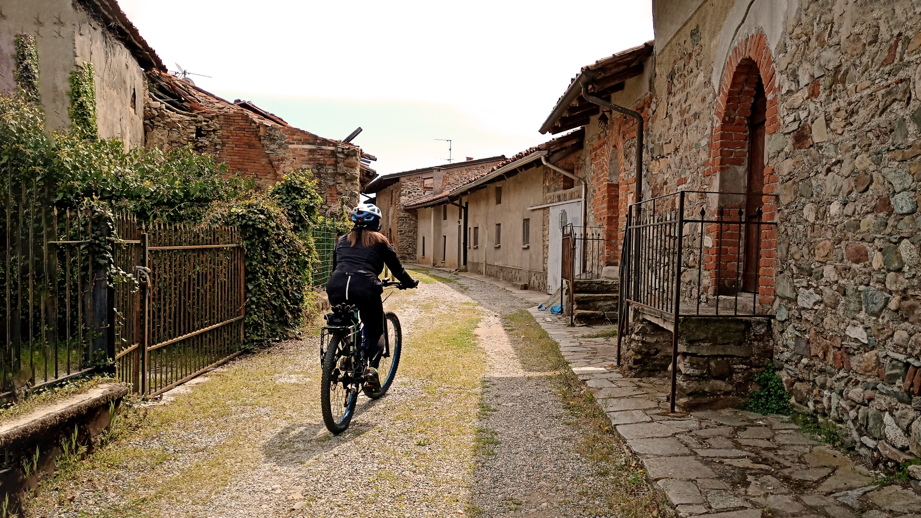
Between faith and nature in Italy – Serra Oropa Cycle Path
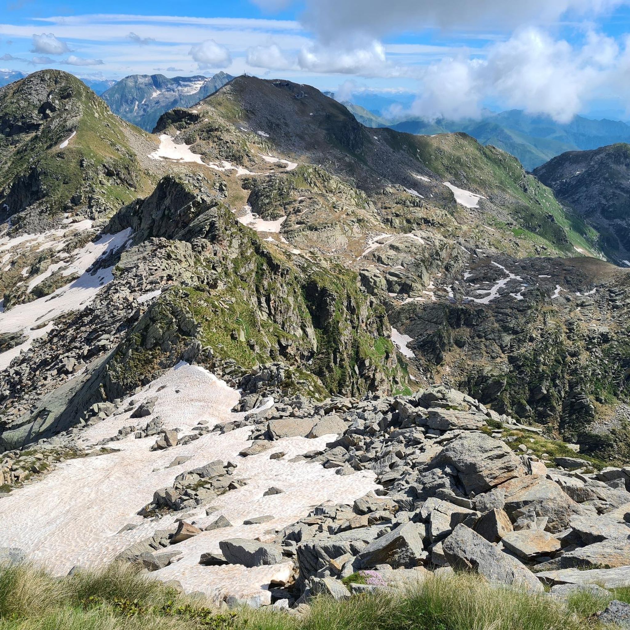
Hiking in Riserva Naturale Speciale Del Sacro Monte Di Oropa
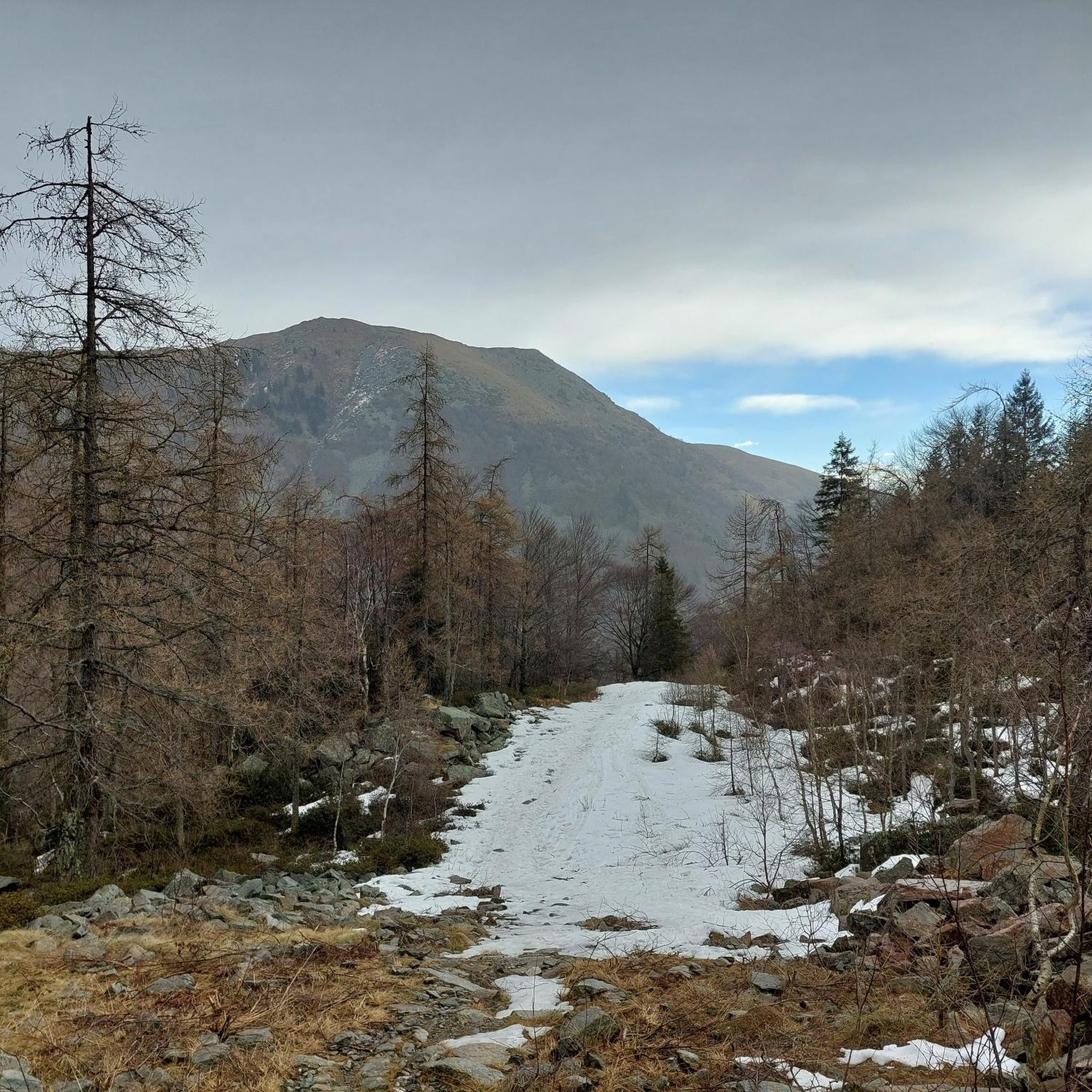
Running Trails in Riserva Naturale Speciale Del Sacro Monte Di Oropa
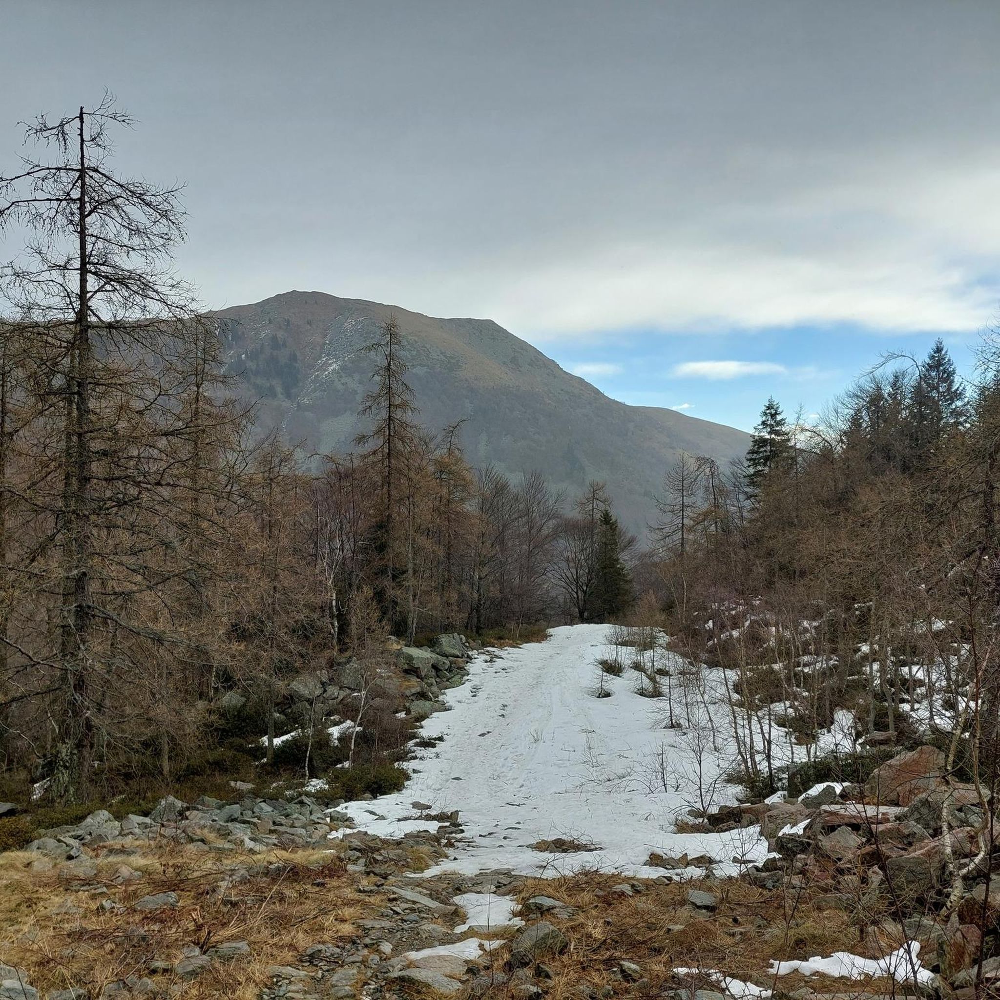
Road Cycling Routes in Riserva Naturale Speciale Del Sacro Monte Di Oropa
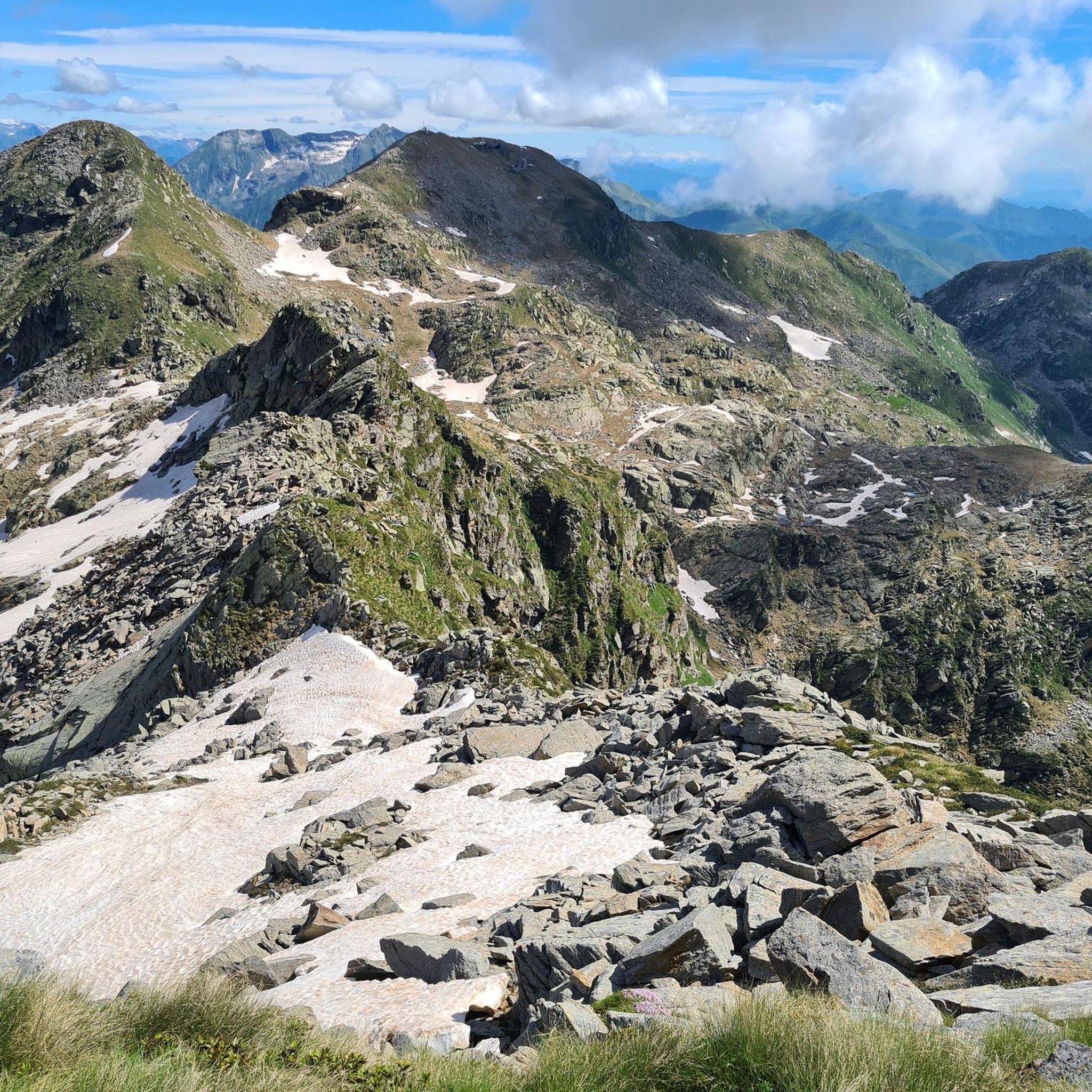
MTB Trails in Riserva Naturale Speciale Del Sacro Monte Di Oropa
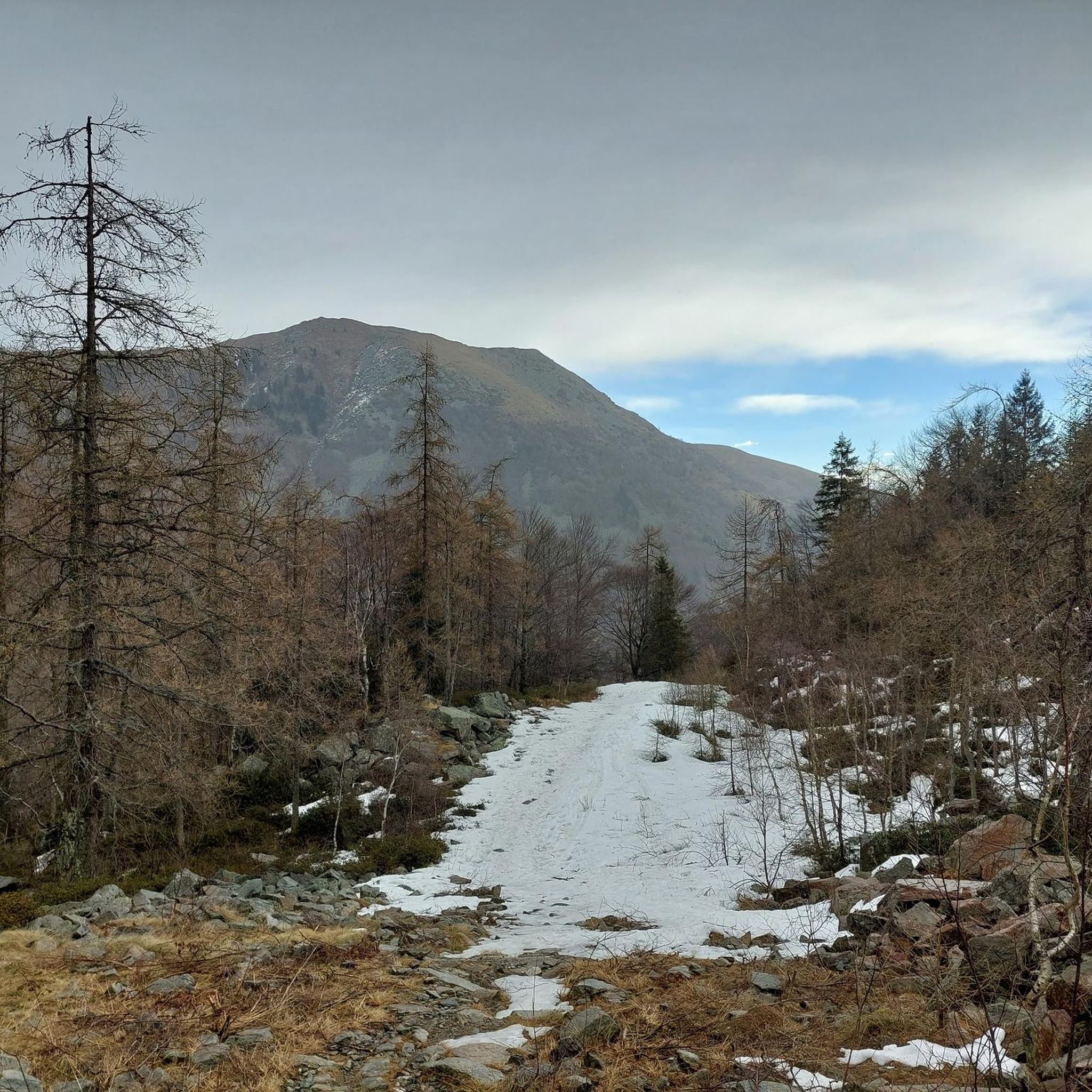
Cycling in Riserva Naturale Speciale Del Sacro Monte Di Oropa

Gravel biking in Riserva Naturale Speciale Del Sacro Monte Di Oropa
Other adventures in Riserva Naturale Speciale Del Sacro Monte Di Oropa


Tips from the Community


glacial lake that gives rise to the Oropa stream
0
0
built in 1936 and restored in 2006
0
0
arrival station and panoramic view of the Sanctuary
0
3
beautiful dirt road with dry stone walls and natural ground (without added gravel)
0
3
at the end of 2025 the dirt road track was improved and made passable by off-road vehicles and bikes, with the elimination and covering of the previous ford on the Oropa
0
0
it is located at Alpe Pissa
0
1

A few meters from Lake Mucrone, if you are looking for a place to fill your water bottle, the Fonte del Bersagliere is the ideal place, where the freshest spring water flows.
0
0
Frequently Asked Questions
How many mountaineering routes are available in Riserva Naturale Speciale Del Sacro Monte Di Oropa?
There are 14 mountaineering routes available in the region. The majority, 13 routes, are rated as difficult, with one moderate option, providing significant challenges for experienced mountaineers.
What kind of terrain can I expect on mountaineering routes in Riserva Naturale Speciale Del Sacro Monte Di Oropa?
You can expect a diverse alpine landscape, characterized by a glacial valley, high-altitude lakes like Lake Mucrone and Lake Mora, and prominent peaks such as Monte Camino. The terrain ranges from 750 to 2388 meters above sea level, featuring beech forests at lower elevations and rugged, exposed sections higher up.
Are there any circular mountaineering routes in the area?
Yes, many routes are designed as loops. For example, you can explore the high-altitude lake country on the Lago del Camino – Lago Barma superiore loop from Oropa, or experience the rugged alpine scenery around the glacial Lake Mucrone with the Mucrone Lake loop from Oropa.
What are some notable natural features or viewpoints I can encounter on these routes?
Mountaineering routes often lead to breathtaking viewpoints offering panoramic views of the Pianura Padana (Po Valley) and the peaks of Valle d'Aosta. You might pass by high-altitude lakes like Laghetto del Camino (Laghetto del Camino) or reach summits like Monte Mucrone (Monte Mucrone Summit), which offer expansive vistas. The Oropa Stream Waterfall (Oropa Stream Waterfall) is another natural highlight.
Is Riserva Naturale Speciale Del Sacro Monte Di Oropa suitable for beginner mountaineers?
The region primarily offers routes for experienced mountaineers, with 13 out of 14 routes rated as difficult. There is one moderate route available, but beginners should be prepared for significant elevation changes and challenging terrain typical of alpine environments.
What is the best time of year for mountaineering in Riserva Naturale Speciale Del Sacro Monte Di Oropa?
The best time for mountaineering is typically from late spring to early autumn (June to September) when trails are generally free of snow and weather conditions are more stable. During winter, the area transforms into a destination for ski touring and cross-country skiing, requiring specialized equipment and experience.
Are there any family-friendly options for outdoor activities near the mountaineering routes?
While most mountaineering routes are challenging, the area around the Sacro Monte di Oropa offers other family-friendly activities. The Adventure Park Oropa provides tree-based trails, and the Oropa Botanical Garden showcases diverse plant species. The cableway also offers easy access to higher altitudes and Lake Mucrone for shorter walks.
Can I bring my dog on the mountaineering routes?
The Riserva Naturale Speciale Del Sacro Monte Di Oropa is generally dog-friendly, but it's always advisable to keep dogs on a leash, especially in protected areas or near wildlife. Be mindful of the challenging terrain and potential exposure on higher routes, ensuring your dog is fit for the conditions.
What cultural or historical sites can I visit in the area?
The region is home to the Sacro Monte di Oropa, a UNESCO World Heritage site. This complex includes a devotional path with twelve chapels and the Sanctuary of Oropa (Oropa Sanctuary), which houses the Black Madonna and is the largest Marian sanctuary in the Alps. The Monumental Cemetery of Oropa (Monumental Cemetery of Oropa) is also a significant historical site.
Where can I park when visiting Riserva Naturale Speciale Del Sacro Monte Di Oropa for mountaineering?
Parking is generally available near the Sacro Monte di Oropa complex, which serves as a common starting point for many routes. From there, you can often access the cableway to reach higher elevations or begin your ascent directly.
What do other mountaineers enjoy most about the routes in Riserva Naturale Speciale Del Sacro Monte Di Oropa?
The area is highly rated by the komoot community, with an average score of 4.8 stars. Reviewers often praise the challenging mountainous terrain, the stunning panoramic views, and the serene beauty of the high-altitude lakes. The Monte Camino – Rifugio Rosazza loop from Oropa is a particular favorite for its significant elevation gain and expansive vistas.
Are there any amenities like cafes or refuges along the mountaineering routes?
Yes, the cableway connects the Sanctuary to Mount Camino and ascends to 1900 meters, providing access to the Rosazza mountain refuge, which can serve as a base or a stop for refreshments. The Sacro Monte complex itself also offers various amenities, including cafes and accommodation options.
Can I access the mountaineering routes using public transport?
Public transport options are available to reach the Sacro Monte di Oropa, which is the primary gateway to the mountaineering routes. From there, the cableway can further transport you to higher altitudes, making many trails accessible without a private vehicle.
Are there any less-trafficked or 'hidden gem' mountaineering routes in the region?
While the region's routes are well-regarded, exploring options like the Monte Tovo – Bocchetta di Finestra loop from Oropa can offer a slightly different perspective away from the most popular trails, leading through varied terrain and providing a sense of discovery within the reserve.
Most popular routes in Riserva Naturale Speciale Del Sacro Monte Di Oropa
Most popular attractions in Riserva Naturale Speciale Del Sacro Monte Di Oropa

Get inspired with the komoot mobile app


Explore more
Browse the best Mountain Hikes & Routes in other regions.
