The best running trails in Mooween State Park
40
runners
5
runs
Jogging in Mooween State Park offers diverse landscapes across its 577 acres, featuring a mix of natural beauty and historical elements. The park's varied topography includes a central hilltop reaching over 500 feet and brook valleys, providing scenic and challenging running routes. Its extensive trail system, totaling approximately 15.7 miles, winds through densely wooded environments on packed earth, dirt, rock, and ledge surfaces. Runners can explore trails around Red Cedar Lake and encounter remnants of the former Camp Mooween.
Best…
Last updated: July 11, 2026
2
runners
12.5km
01:18
100m
100m
Moderate run. Good fitness required. Mostly paved surfaces. Suitable for all skill levels.
2
runners
16.4km
01:43
150m
150m
Hard run. Very good fitness required. Mostly paved surfaces. Suitable for all skill levels.

Sign up for free
2
runners
8.19km
00:52
90m
80m
Moderate run. Good fitness required. Mostly paved surfaces. Suitable for all skill levels.
15
runners
21.6km
02:20
230m
230m
Hard run. Very good fitness required. Mostly paved surfaces. Suitable for all skill levels.
3
runners
5.68km
00:36
70m
70m
Moderate run. Good fitness required. Mostly paved surfaces. Suitable for all skill levels.
Our route recommendations are based on thousands of hikes, rides, and runs completed by other people on komoot.
Start today with a free account
Your next adventure awaits.
Login or Signup
Popular around Mooween State Park
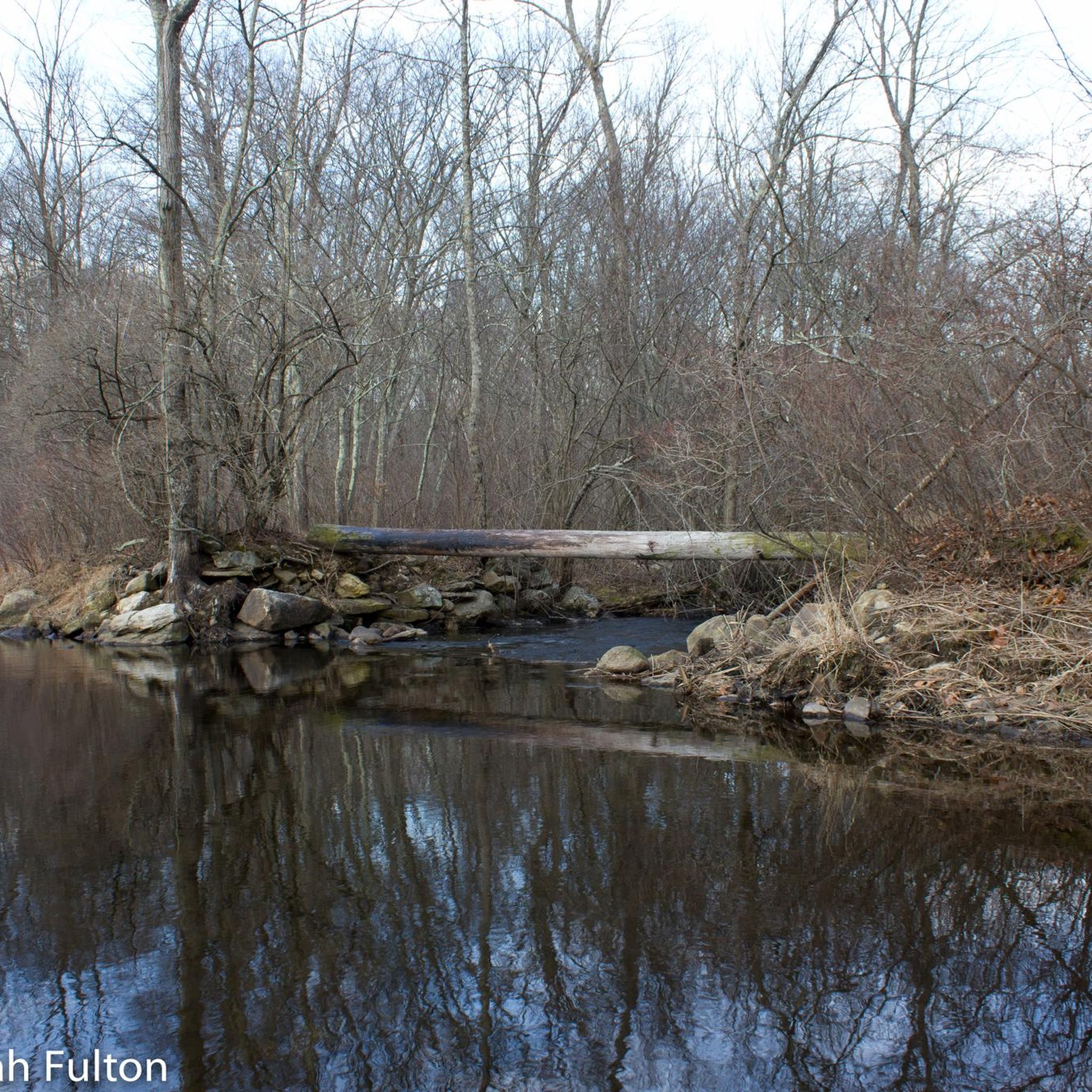
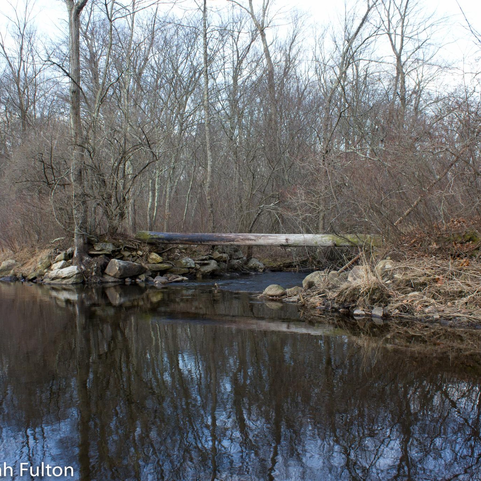
Tips from the Community

Nice quiet stretch of road with great views of Gardner Lake.
0
0
Frequently Asked Questions
How many running routes are available in Mooween State Park?
Mooween State Park offers a selection of 5 dedicated running routes, catering to various preferences and fitness levels.
What kind of terrain can I expect on the running trails in Mooween State Park?
The park's extensive trail system, totaling approximately 15.7 miles, features diverse surfaces including packed earth, dirt, rock, and ledge. You'll navigate through densely wooded environments and varied topography, from a central hilltop to brook valleys.
Are there easy running routes for beginners or those looking for a relaxed jog?
Yes, there is 1 easy running route available. For a moderate option, consider the Old Alpert Property South – Old Alpert Property loop from Colchester, which is 8.3 km long with minimal elevation gain, making it a good choice for a less strenuous run.
Are there challenging running routes for experienced runners in Mooween State Park?
Absolutely. The park features 2 difficult running routes. For a significant challenge, try the Running loop from Colchester, which spans 21.6 km and includes substantial elevation changes, providing a demanding workout.
Can I see any historical sites or landmarks while running in Mooween State Park?
Yes, Mooween State Park is rich in history. As you run, you might encounter relics of the former Camp Mooween, such as old chimneys and stairs, now being reclaimed by nature. The remains of the 300-year-old Granny Austin Tavern are also within the park.
Are there running routes that feature water views or lakes?
Yes, the park is home to Red Cedar Lake. While not all routes directly hug the shoreline, some trails offer views or pass near water features. The Great view of Gardner Lake loop from Hopemead State Park, for instance, provides scenic views of Gardner Lake.
Is Mooween State Park suitable for family-friendly jogging?
The park offers a variety of trails, and while specific 'family-friendly' designations aren't always explicit, the diverse terrain means you can find paths suitable for different ages. Easier, shorter loops or sections of trails with less elevation would be more appropriate for families. Always check the route details for distance and difficulty.
What are the parking options for runners at Mooween State Park?
Mooween State Park typically has designated parking areas for visitors. It's advisable to check the official park website or local signage upon arrival for specific parking lot locations and any potential fees or restrictions.
Are dogs allowed on the running trails in Mooween State Park?
Generally, state parks in Connecticut allow dogs on trails, provided they are kept on a leash. However, it's always best to confirm the most current regulations directly with Mooween State Park authorities to ensure compliance with their specific pet policy.
What is the best time of year to go running in Mooween State Park?
Mooween State Park offers beautiful running conditions throughout much of the year. Spring and fall provide pleasant temperatures and vibrant scenery. Summer can be warm, so early morning or late afternoon runs are recommended. Winter running is possible, but trails may be icy or snowy, requiring appropriate gear and caution.
Are there any circular running routes in Mooween State Park?
Yes, many of the running routes in Mooween State Park are designed as loops, allowing you to start and finish at the same point. Examples include the Clarks Hill loop from Exeter and the Chapel Hill loop from Quaker Hill Road and Gun Club.
What kind of elevation changes can I expect on the running trails?
The park's topography is varied, featuring a central hilltop reaching over 500 feet and brook valleys dipping to 350 feet. This means you can find routes with significant elevation changes, such as the Clarks Hill loop from Exeter which has over 150 meters of ascent, providing a good challenge for runners seeking hills.
Most popular routes in Mooween State Park

Get inspired with the komoot mobile app


Explore more
Browse the best Running Trails & Routes in other regions.
