The best mountain hikes around Mello
5.0
(2)
9
hikers
2
hikes
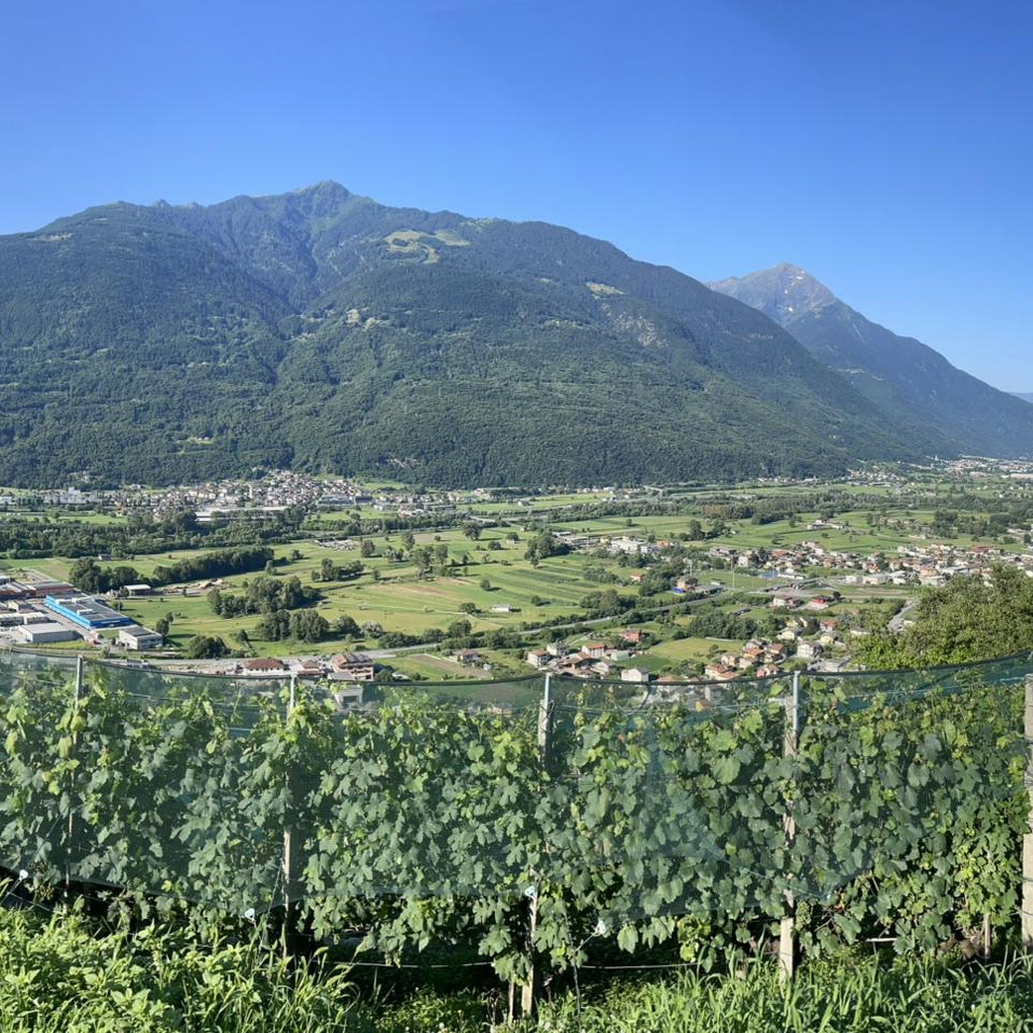
Mountaineering around Mello is defined by its dramatic granite landscapes, often referred to as the "Yosemite of Italy." The region features imposing granite cliffs and walls, sculpted by glaciers, alongside lush valley floors. Crystal-clear streams and alpine lakes, fed by the Mello River, carve through coniferous forests, leading to high mountain peaks. This unique blend of rugged wilderness offers diverse challenges for mountaineers.
Best mountaineering routes around Mello
- The most popular mountaineering route is Val di Mello River – Laghetto del Qualido loop from Val Masino, an 8.4 miles (13.4 km) difficult trail that takes 4 hours 55 minutes to complete, winding through the scenic Val di Mello and past alpine lakes.
- Another top favourite among local mountaineers is Behind the Waterfall – Village of Codera loop from Novate Mezzola, a difficult 7.7 miles (12.4 km) path. This route offers challenging ascents and panoramic views of the surrounding valleys and waterfalls.
- Local mountaineers also love the Val di Mello River – Mello Stream loop from Val Masino, a 4.2 miles (6.7 km) trail leading through the picturesque valley floor and along the Mello Stream, often completed in about 2 hours.
- Mountaineering around Mello is defined by granite cliffs, glacial valleys, and coniferous forests. The network offers options for different ability levels, from moderate valley routes to challenging high-alpine ascents.
- The routes in Mello are highly rated by the komoot community with an average score of 4.9 stars from around 10 reviews. More than 50 mountaineers have used komoot to explore Mello's varied terrain.
Last updated: June 28, 2026
5.0
(1)
6
hikers
6.74km
02:01
170m
170m
Moderate mountaineering route. Good fitness required. Mostly accessible paths. Sure-footedness required.
5.0
(1)
3
hikers
12.3km
05:44
980m
980m
Hard mountaineering route. Very good fitness required. Mostly accessible paths. Sure-footedness required.
Our route recommendations are based on thousands of hikes, rides, and runs completed by other people on komoot.
Start today with a free account
Your next adventure awaits.
Login or Signup
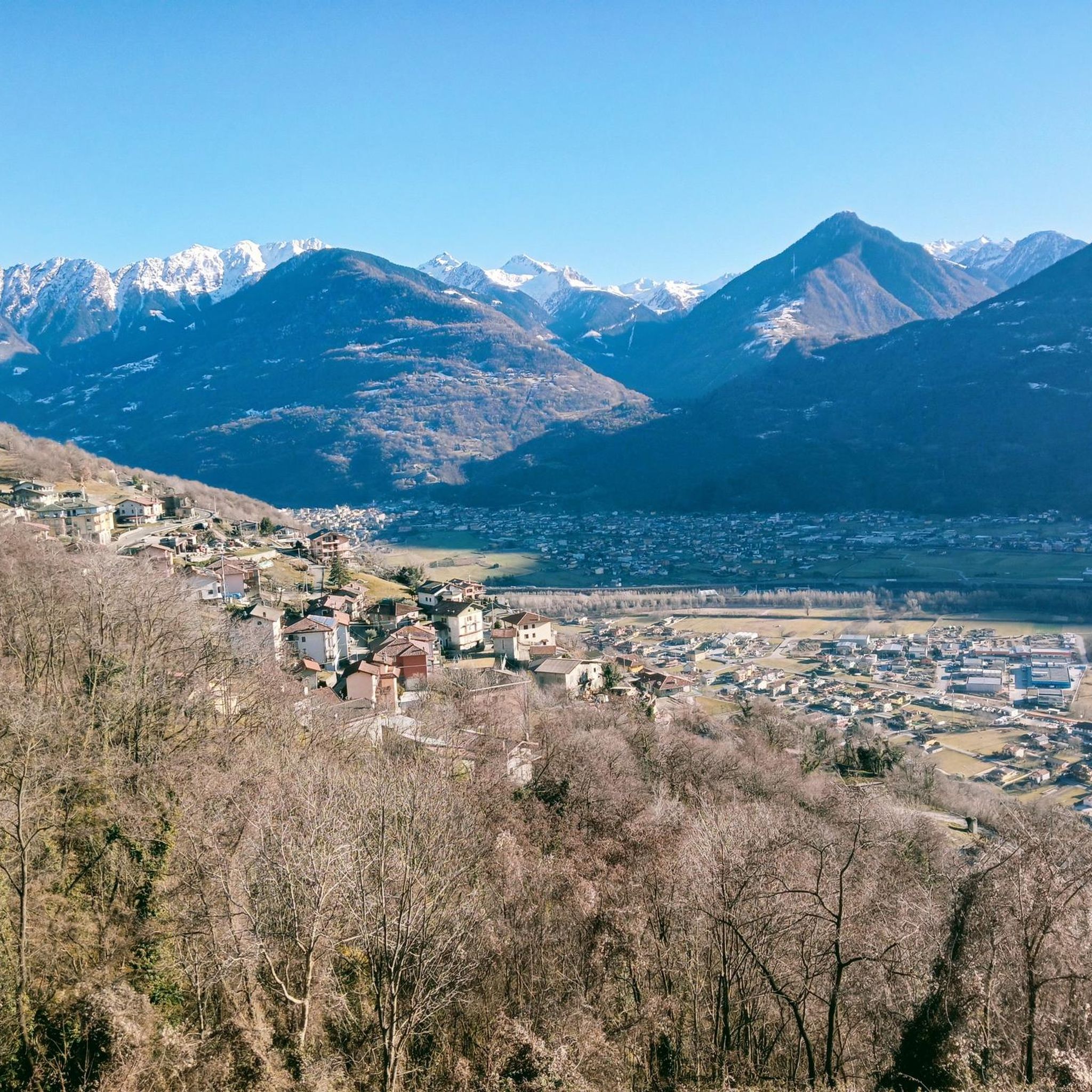
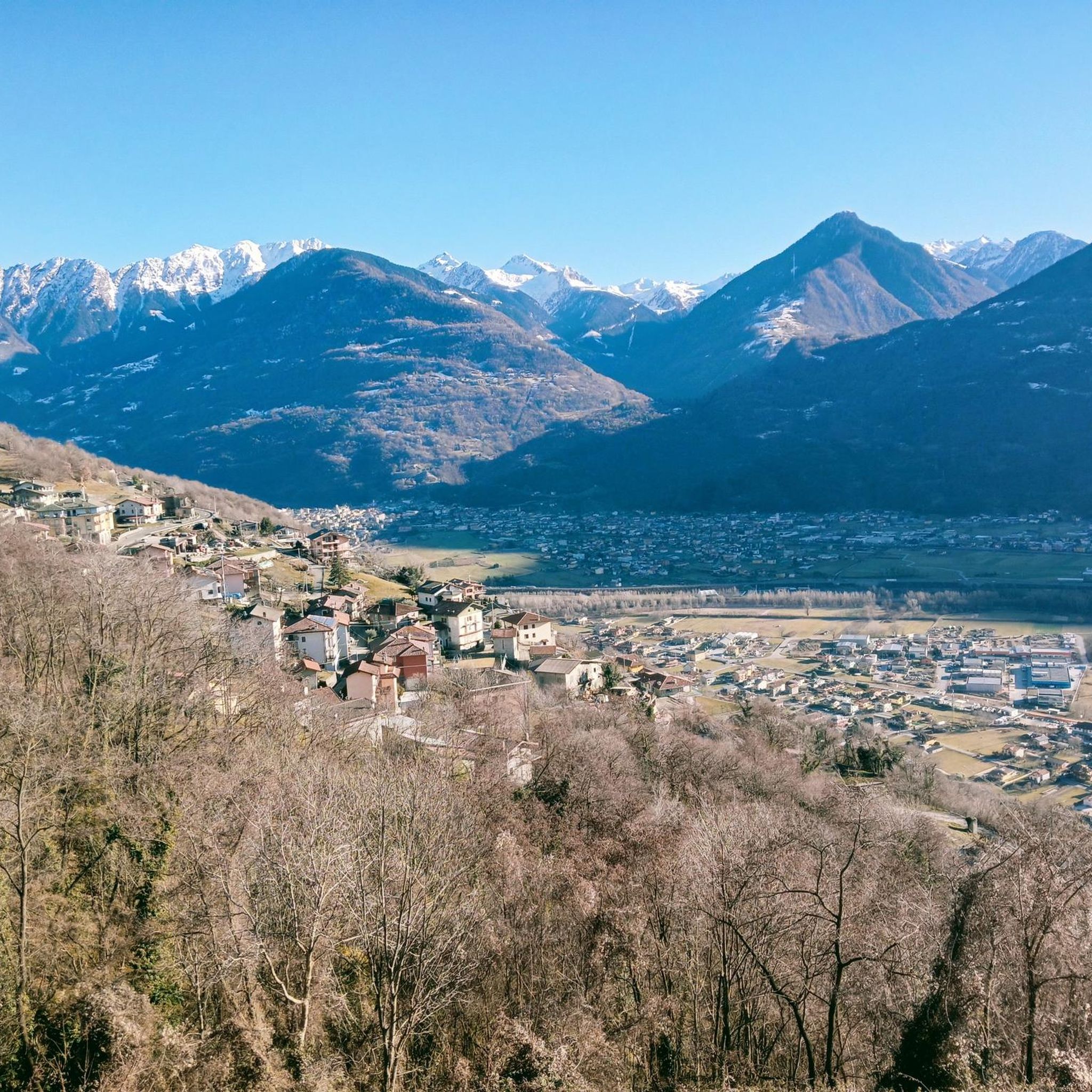
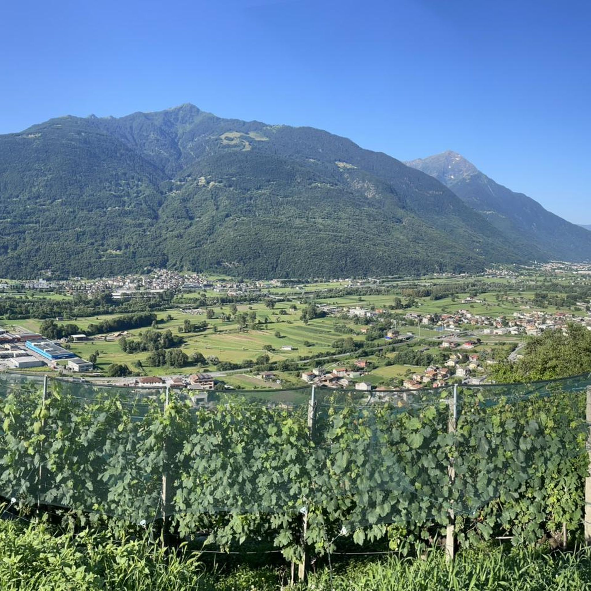
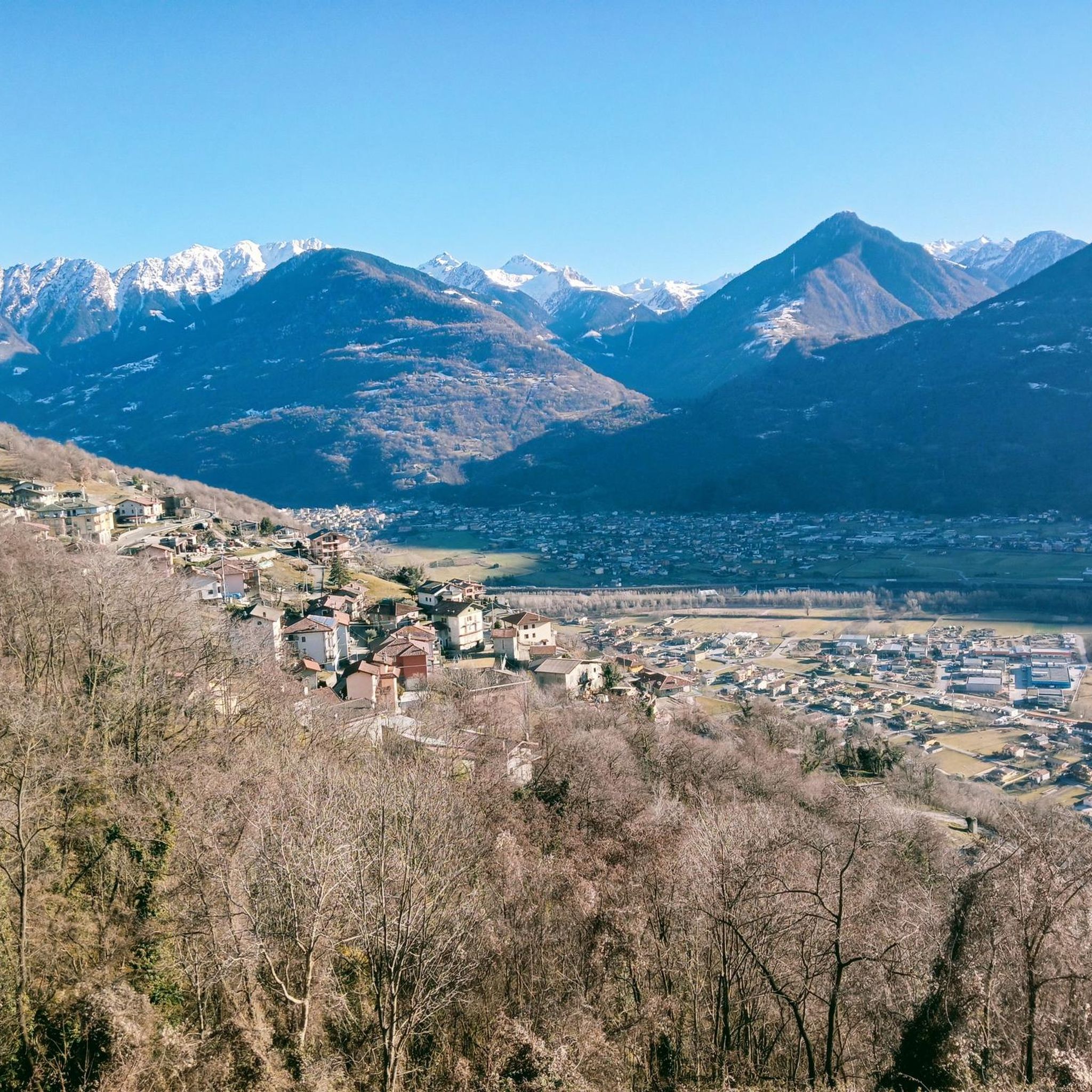

Tips from the Community

The Torrente Mello is the main watercourse that crosses the Val di Mello, one of the most suggestive valleys of Valtellina. This torrent originates from Monte Disgrazia and flows along the entire valley, fed by numerous streams and natural springs from the surrounding mountains. The Torrente Mello is characterized by crystalline waters that flow between the imposing granite rocks and the lush vegetation, creating natural scenery of rare beauty. Along its course, the torrent feeds several lakes, such as the Laghetto del Qualido, and also feeds numerous waterfalls and pools, which make the valley even more fascinating and appreciated by hikers. The path of the Torrente Mello is clearly visible along the paths that start from the village of San Martino, which is the main starting point for exploring the valley. The path that follows the course of the torrent allows you to enjoy spectacular views of the surrounding nature and access places of great naturalistic interest, making it an ideal destination for lovers of trekking and photography.
0
0
Rifugio Mello is located in the beautiful Val di Mello, one of the most well-known and appreciated valleys of Valtellina, famous for its breathtaking landscapes, imposing mountains and its crystalline lakes. The refuge is located at about 1,350 meters above sea level and is a point of reference for hikers who visit the area. Rifugio Mello is easily accessible thanks to the paths that start from the village of San Martino, in the heart of Val di Mello. The route to reach the refuge is suitable for hikers of all levels, with a walk that lasts about 1.5-2 hours, crossing larch and fir forests, offering spectacular panoramic views of the valley and the surrounding mountains. Once arrived, the refuge offers a welcoming rest area, where hikers can refresh themselves with typical Valtellina dishes, such as pizzoccheri, sciatt and local cheeses, but also enjoy an incredible view of Val di Mello and the peaks that surround it, including Monte Disgrazia. Rifugio Mello is also a starting point for numerous hikes, including those leading to Laghetto del Qualido or Cascata della Val di Mello, as well as an ideal place for a quiet stop during a longer hike. It is recommended in all seasons, but especially in spring and autumn, when the landscape is particularly fascinating thanks to the colors of nature.
2
0

Following the crystalline watercourse, the route winds through green meadows, larch forests and imposing granite boulders, with suggestive views of the peaks surrounding the valley. The trail, suitable for everyone, is dotted with panoramic points and small pools of water, where the stream forms waterfalls and emerald-hued lakes.
1
0

Small village with a structure that offers catering service
1
0

A lateral valley of Val Masino and part of the municipality of the same name, Val di Mello has a characteristic watercourse that here, near the locality of San Martino, is truly beautiful to see. From time to time it widens its bed, forming small lake basins.
0
0
Small refuge where you can taste typical dishes of Valtellina cuisine
2
0

Perhaps it would be useful to ask for information on possible practicability I know it's closed
2
0

I recommend visiting in the month of October with all the colors of autumn, it is truly a destination for the foliage.
4
0
Frequently Asked Questions
How many mountaineering routes are available in Mello?
There are 5 mountaineering routes around Mello listed on komoot, offering a variety of experiences from moderate valley walks to challenging high-alpine ascents. The komoot community has rated these routes highly, with an average score of 4.9 stars.
What kind of terrain can I expect on mountaineering routes in Val di Mello?
Val di Mello, often called the 'Yosemite of Italy,' is characterized by dramatic granite landscapes. You'll encounter imposing granite cliffs and walls, lush valley floors, crystal-clear streams, and coniferous forests. The unique compact Alpine granite provides excellent friction for climbing, with technical slabs, edges, and compression overhangs.
Are there any circular mountaineering routes in Val di Mello?
Yes, several routes offer a circular experience. For example, the Val di Mello River – Laghetto del Qualido loop from Val Masino is a difficult 8.4-mile (13.4 km) trail that takes you through the scenic valley and past alpine lakes. Another option is the Val di Mello River – Mello Stream loop from Val Masino, a moderate 4.2-mile (6.7 km) route along the picturesque valley floor.
What are some challenging mountaineering routes for experienced climbers?
For experienced mountaineers seeking a challenge, the Behind the Waterfall – Village of Codera loop from Novate Mezzola is a difficult 7.7-mile (12.4 km) path with challenging ascents and panoramic views. Another demanding option is the San Giorgio di Cola loop from Verceia, which covers 7.6 miles (12.2 km) with significant elevation gain.
Are there any moderate mountaineering routes suitable for those looking for a less strenuous climb?
Absolutely. The Val di Mello River – Mello Stream loop from Val Masino is a moderate 4.2-mile (6.7 km) trail that leads through the picturesque valley floor, perfect for a less strenuous but rewarding experience. Another moderate option is the Behind the Waterfall – Village of Codera loop from Novate Mezzola, which is 4.5 miles (7.3 km) long.
What natural attractions can I see along the mountaineering routes in Val di Mello?
Val di Mello is rich in natural beauty. You can encounter crystal-clear streams and pools fed by the Mello River, and picturesque alpine lakes like Lake Mezzola. The famous Moledana Dam is also nearby, and the valley itself is known for its dramatic granite cliffs and coniferous forests.
What do other mountaineers enjoy most about the routes in Mello?
The komoot community rates the mountaineering routes in Mello very highly, with an average score of 4.9 stars. Reviewers often praise the dramatic granite landscapes, the unique blend of rugged wilderness, and the diverse challenges offered by the trails, from valley routes to high-alpine ascents.
Are there any huts or refuges along the mountaineering trails in Mello?
Yes, there are several huts in the vicinity that can serve as resting points or overnight stays. Notable ones include La Locanda Hut, San Sciucc, Antonio Omio Hut, and Alpe Piazza Hut.
Is Val di Mello suitable for bouldering or multi-pitch climbing?
Val di Mello is world-renowned for its climbing opportunities. It's considered the birthplace of bouldering in Italy, with thousands of boulder problems, including the massive Sasso Remenno. For multi-pitch climbing, the long, clean granite faces offer classic routes like 'L'alba del Nirvana' and 'Oceano Irrazionale' for experienced climbers.
Can I find places to eat or drink near the mountaineering routes?
Val di Mello and the surrounding Val Masino area offer various refuges and accommodations, which often include dining options. While specific cafes or pubs aren't detailed for each route, the region's popularity ensures that facilities are available to cater to outdoor enthusiasts.
What is the best season for mountaineering in Val di Mello?
The best season for mountaineering typically runs from late spring through early autumn, when the weather is most stable and trails are clear of snow. However, the valley also transforms into a destination for ice climbing in winter, offering a different kind of challenge.
Are there any specific peaks or summits I can aim for in the Mello area?
Mount Disgrazia (3,678 meters) dominates the horizon in the larger Val Masino area, and there are other significant peaks like Pizzo Badile. For a specific summit experience, you might consider routes that offer views or access to peaks like Rosetta Peak.
Most popular attractions around Mello

Get inspired with the komoot mobile app


Explore more
Browse the best Mountain Hikes & Routes in other regions.
