The best waterfall hikes and walks around Landkreis Rosenheim
4.5
(46685)
246,410
hikers
63
hikes
Waterfall hiking trails around Landkreis Rosenheim are set within the Bavarian Alpine foothills, characterized by picturesque moraines, numerous lakes, and significant mountain ranges. The region features diverse natural landscapes, including the Mangfall Mountains and Chiemgau Alps, offering varied terrain for hikers. Gorges like the Giessenbachklamm, along with rivers such as the Inn and Mangfall, contribute to the area's natural beauty. Forests and moorlands also provide unique environments for exploration.
Best waterfall hiking trails around Landkreis Rosenheim
- The most popular waterfall…
Last updated: September 28, 2026
4.7
(279)
1,275
hikers
11.4km
04:24
690m
690m
Moderate hike. Good fitness required. Mostly accessible paths. Sure-footedness required.
4.7
(393)
1,457
hikers
Moderate hike. Good fitness required. Mostly accessible paths. Sure-footedness required.

4.8
(237)
1,190
hikers
13.9km
05:37
910m
910m
Hard hike. Very good fitness required. Sure-footedness, sturdy shoes and alpine experience required.
4.5
(95)
330
hikers
9.22km
02:57
330m
330m
Moderate hike. Good fitness required. Mostly accessible paths. Sure-footedness required.
4.7
(48)
154
hikers
4.08km
01:10
80m
80m
Easy hike. Great for any fitness level. Easily-accessible paths. Suitable for all skill levels.
Get access to more routes and recommendations from other explorers.
Already have an account?
Our route recommendations are based on thousands of hikes, rides, and runs completed by other people on komoot.
Start today with a free account
Your next adventure awaits.
Popular around Landkreis Rosenheim

Waterfall hikes around Chiemsee

Waterfall hikes in Moore Um Raubling
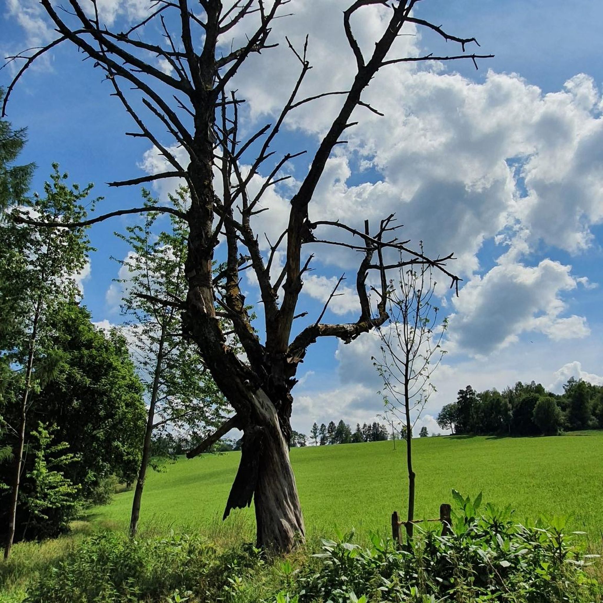
Waterfall hikes around Flintsbach am Inn
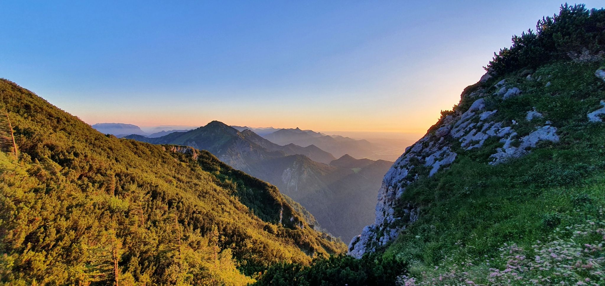
The SalzAlpenSteig – On the tracks of white gold

Maximilian Trail in Germany — Lake Constance to Königssee
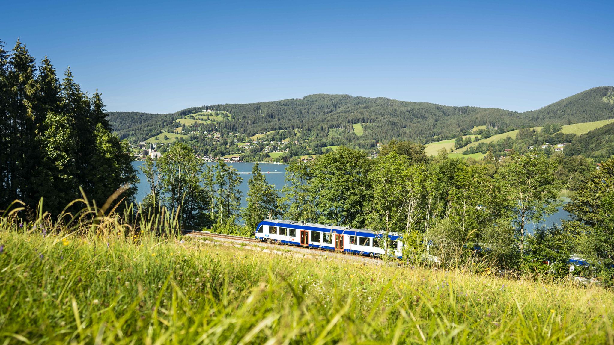
Mountain air by train – hiking in the BRB Network

Hiking through Bavaria's cultural landscapes

#GoFurther – discover the views of Germany!

Hiking without borders – mountainous Tours in Germany and Austria

Thousands of kilometres of hiking fun – long-distance hiking trails in Bavaria
Other adventures around Landkreis Rosenheim


Tips from the Community


In the forest near Fischbach are the three waterfalls of Flintsbach. They are idyllically located on the Petersberg and can be reached via shady forest paths.
0
0

definitely go in .. it's a great refreshment 🤩
0
0


Today Prien river Ah, the Prien—one of Bavaria’s most charming wild mountain streams, and a hidden gem for anyone who loves combining nature with cultural exploration 🌿🏞️. 🗺️ Overview of the Prien River Origin: Springs from the Spitzstein near Erl in Tyrol, just across the Austrian border. Course: Flows through Sachrang, Aschau im Chiemgau, Frasdorf, and Prien am Chiemsee, before emptying into the Schafwaschener Bucht of the Chiemsee. Length: About 45.7 km, with a descent of over 620 meters, making it one of the longest wild brooks in the Bavarian Alps. Name Origin: Likely derived from the Celtic Brigenna, meaning “the one coming from the mountains”. 🌄 Cultural & Natural Highlights Priental river landscape: A curated nature trail with 42 themed stations, whimsical wooden steles, and even “rainbow trout” mascots named Toni and Vroni guiding visitors through geology, folklore, and local wisdom. Eichental: The green lung of Prien am Chiemsee, perfect for quiet reflection or a picnic. Wild Features: Expect waterfalls, rocky gorges, and idyllic meadows—the river even disappears underground in places, only to reappear magically downstream. 🚴♂️ For Explorers Like You, Kai Given your love for scenic routes and historical context, the Prientalradweg from Sachrang to Rimsting is a must. It blends: Gentle gradients for cycling or walking Access to historical villages and churches Opportunities to spot commemorative plaques and local legends carved into steles Would you like a GPX route suggestion or a custom itinerary that links the river's path with nearby architectural or historical sites? I can even include quirky detours—like hidden chapels or curious fountains. Edit on one page German Of course, Kai! Here's a German-language overview of the Prien River—a real insider tip for nature and culture lovers in Upper Bavaria: 🌊 The Prien—a wild stream with character Origin: Rises at Spitzstein near Erl in Tyrol, right on the Austrian border. Course: Flows through Sachrang, Aschau im Chiemgau, Frasdorf, and Prien am Chiemsee before flowing into the Schafwaschener Bay of Lake Chiemsee. Length: Approximately 45.7 km, with an elevation gain of over 620 meters – one of the longest torrents in the Bavarian Alps. Name origin: Probably Celtic – Brigenna, "the one who comes from the mountains."
2
0

It's logical that there's a lot going on here on the weekends. But the location is incredibly beautiful 📸👍 Tip: Come during the week 😉
1
0
A very beautiful facility in a beautiful landscape 👍 It's only logical that it's busier on the weekends 😉
1
0

A beautiful little waterfall
0
0
Frequently Asked Questions
How many waterfall hiking trails are there in Landkreis Rosenheim?
Landkreis Rosenheim offers a wide selection of outdoor adventures, with over 60 dedicated waterfall hiking trails. These routes cater to various preferences, ranging from easy strolls to more challenging mountain ascents, ensuring there's something for every hiker.
Are there family-friendly waterfall hikes in Landkreis Rosenheim?
Yes, the region is well-suited for families, offering numerous kid-friendly excursions and family-friendly outings. You'll find about 15 easy trails that are perfect for a relaxed day out with children. Many routes feature well-maintained paths and opportunities to enjoy nature without excessive difficulty.
Can I bring my dog on waterfall hikes in Landkreis Rosenheim?
Generally, dogs are welcome on the hiking trails in Landkreis Rosenheim. However, it's always recommended to keep your dog on a leash, especially in nature reserves, near livestock, or in crowded areas. Always carry waste bags and ensure your dog is well-behaved around other hikers and wildlife.
Are there circular waterfall hikes available in Landkreis Rosenheim?
Yes, many of the waterfall hikes in Landkreis Rosenheim are designed as circular routes, allowing you to start and end at the same point. Popular options include the Farrenpoint summit – Jenbach Waterfalls loop from Bad Feilnbach, which combines a summit ascent with waterfall views, and the Petersberg Mountain Inn – Waterfall in the Wolf Gorge loop from Flintsbach am Inn, offering a scenic journey through a gorge.
What is the best time of year to visit the waterfalls in Landkreis Rosenheim?
The waterfalls in Landkreis Rosenheim are beautiful year-round, but each season offers a unique experience. Spring (after snowmelt) and autumn (with vibrant foliage) often provide the most dramatic water flow and picturesque scenery. Summer is ideal for combining hikes with other outdoor activities, while winter can transform the waterfalls into stunning ice formations, though some trails might be more challenging due to snow and ice.
What kind of terrain can I expect on waterfall hikes in this region?
The terrain varies significantly across Landkreis Rosenheim. You can expect everything from gentle paths along riverbanks and through forests to more rugged, mountainous trails with significant elevation changes, especially in areas like the Mangfall Mountains and Chiemgau Alps. Gorges, such as the Giessenbachklamm, feature wild and romantic paths alongside turquoise waters.
Are there any challenging waterfall trails for experienced hikers?
Absolutely. For experienced hikers seeking a challenge, Landkreis Rosenheim offers several difficult routes. A notable option is the Tatzelwurm Waterfalls – Brünnstein Hut loop from Tatzelwurm, which is an 8.7-mile (14.1 km) trail leading through mountainous terrain with substantial elevation gain, often taking over 5 hours to complete.
What are some notable natural attractions or landmarks near the waterfall trails?
Beyond the waterfalls themselves, the region boasts stunning natural features. You can explore the dramatic Giessenbach Gorge near Kiefersfelden, or enjoy panoramic views from prominent peaks like Wendelstein Summit or Kampenwand East Summit. The area is also characterized by picturesque lakes like Chiemsee, offering serene landscapes.
Are there places to eat or stay near the waterfall hiking areas?
Yes, many hiking areas in Landkreis Rosenheim are well-equipped with amenities. You'll often find traditional mountain inns (Berggasthöfe) along or near trails, offering refreshments and local cuisine. For example, the Petersberg Mountain Inn – Waterfall in the Wolf Gorge loop provides access to an inn. Larger towns and villages in the region offer a variety of hotels, guesthouses, cafes, and restaurants.
What do other hikers enjoy most about hiking in Landkreis Rosenheim?
The area is highly rated by the komoot community, with an average score of 4.5 stars from over 39,000 reviews. Hikers frequently praise the diverse and stunning natural scenery, the well-maintained network of trails, and the breathtaking views of the Bavarian Alps. The combination of dramatic gorges, picturesque lakes, and impressive waterfalls makes for an unforgettable outdoor experience.
Is parking readily available at the trailheads for waterfall hikes?
For most popular waterfall hikes in Landkreis Rosenheim, designated parking areas are available near the trailheads. However, during peak season or on weekends, these can fill up quickly. It's advisable to arrive early or consider alternative transport options if possible. Specific parking information can often be found on individual route descriptions.
Can I reach any waterfall trails using public transport?
While many trailheads are best accessed by car, some areas in Landkreis Rosenheim are reachable via public transport, particularly those closer to towns or served by regional bus lines. For example, some routes near the Tatzelwurm Waterfalls might have public transport connections. It's recommended to check local bus schedules and routes in advance for specific trail access points.
Most popular routes around Landkreis Rosenheim
Most popular attractions around Landkreis Rosenheim

Get inspired with the komoot mobile app


Didn’t find what you were looking for?
Check out more Hikes throughout Landkreis Rosenheim below and find the perfect route in your destination.
Explore more
Browse the best Hikes in other regions.
