The best mountain hikes around Neuleiningen
5.0
(2)
17
hikers
5
hikes
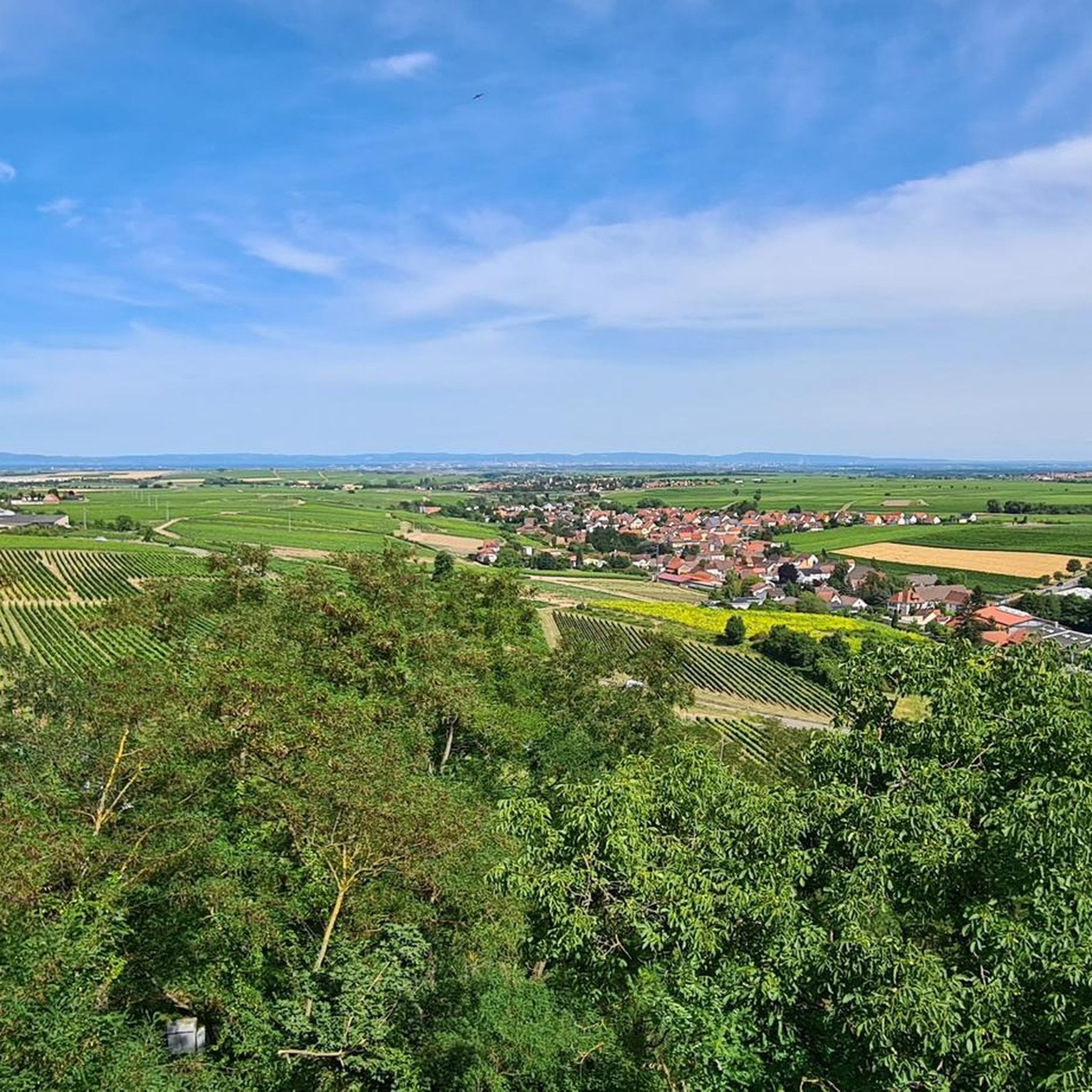
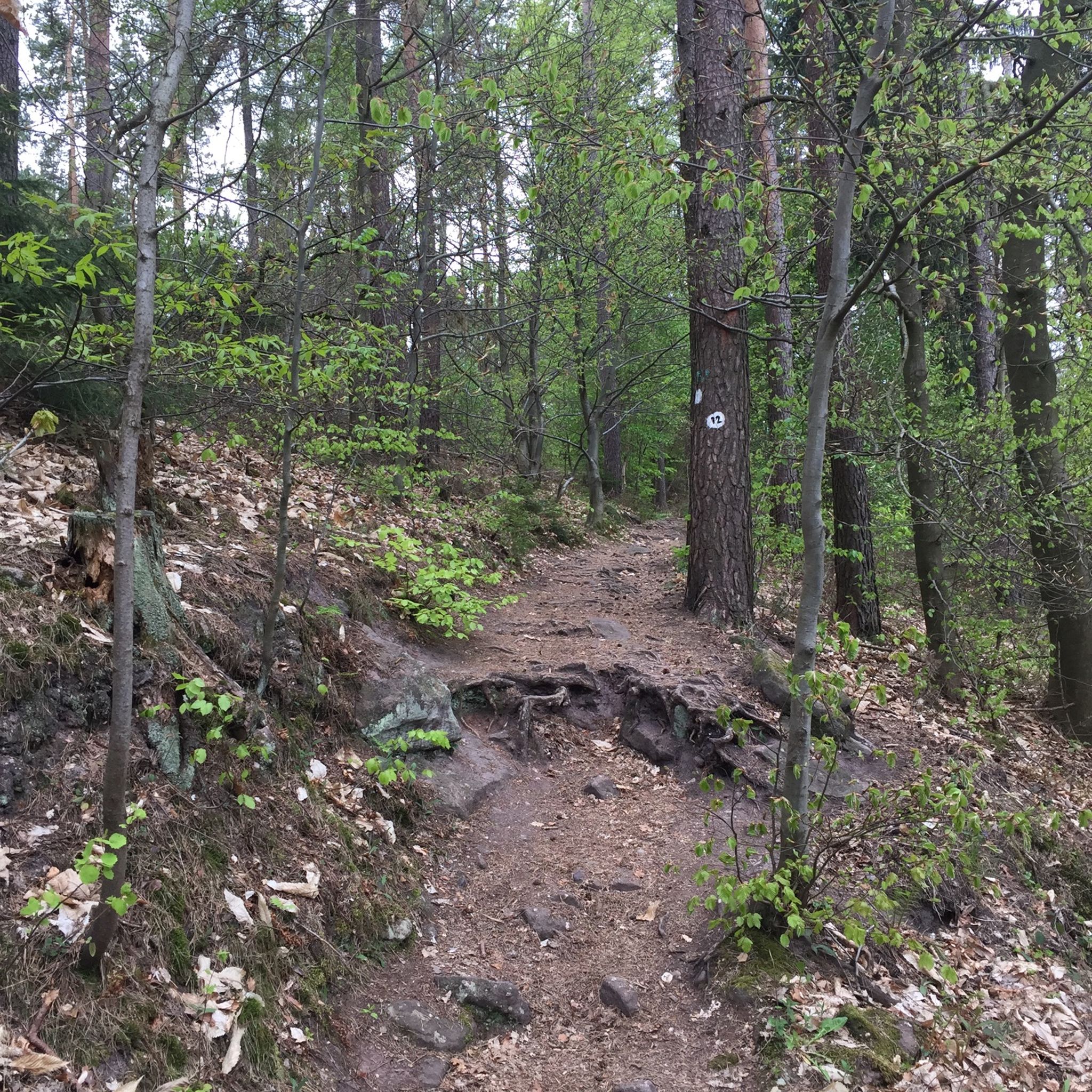
Mountaineering routes around Neuleiningen traverse the northern Palatinate Forest biosphere reserve, characterized by a blend of mountainous terrain, dense woodlands, and historic features. The region offers numerous peaks and significant elevation changes, providing a challenging environment for outdoor enthusiasts. Gigantic rock formations and varied forest passages are common along the trails, contributing to the rugged landscape. This area is ideal for strenuous hiking and exploring diverse mountainous landscapes.
Best mountaineering routes around Neuleiningen
- The most popular mountaineering route is Drachenfels…
Last updated: July 12, 2026
5
hikers
10.1km
03:07
350m
350m
Moderate mountaineering route. Good fitness required. Easily-accessible paths. Suitable for all skill levels.
5.0
(1)
3
hikers
Easy mountaineering route. Great for any fitness level. Easily-accessible paths. Suitable for all skill levels.

Sign up for free
3
hikers
Moderate mountaineering route. Good fitness required. Easily-accessible paths. Suitable for all skill levels.
3
hikers
Moderate mountaineering route. Good fitness required. Easily-accessible paths. Suitable for all skill levels.
2
hikers
7.77km
02:09
130m
130m
Moderate mountaineering route. Good fitness required. Easily-accessible paths. Suitable for all skill levels.
Our route recommendations are based on thousands of hikes, rides, and runs completed by other people on komoot.
Start today with a free account
Your next adventure awaits.
Login or Signup
Popular around Neuleiningen



Tips from the Community


The Weilerskopf telecommunications tower is a concrete tower that rises 130 meters above the summit of the Weilerskopf hill.
1
0

Historical border marker that suddenly appears on the side of the road.
1
0

Especially interesting if you have read something about it
0
0

There are plenty of benches on this tour
1
0

The Weilerskopf telecommunications tower is a type “FMT 2” tower completed in 1969 with a height of 130.7 meters.
4
0

Founded in 1120 and first mentioned in documents in 1143 Destroyed between 1618 and 1648 in the Thirty Years' War and not rebuilt
1
0
Frequently Asked Questions
What kind of terrain can I expect on mountaineering routes around Neuleiningen?
The mountaineering routes around Neuleiningen traverse the northern Palatinate Forest biosphere reserve, characterized by a blend of mountainous terrain, dense woodlands, and historic features. You'll encounter numerous peaks, significant elevation changes, and impressive rock formations, making for a rugged and diverse landscape.
Are there routes suitable for beginners or those looking for an easier experience?
Yes, there are routes suitable for various ability levels. For an easier experience, consider the Schlagbaum Trail Junction – View of Limburg Abbey loop from Haardtrand - Am Schlammberg. This 3.2-mile (5.2 km) path is rated easy and offers scenic views through accessible forest paths.
What are some of the more challenging mountaineering routes in the area?
For those seeking a moderate challenge, routes like the Drachenfels Nature Reserve – Seven Ways loop from Drachenfels offer varied terrain over 6.3 miles (10.1 km). Another option is the Kieskautberg loop from Altleiningen, which is 9.1 miles (14.7 km) and leads through varied forest and hilly terrain.
Are there any circular mountaineering routes available?
Yes, many of the routes around Neuleiningen are circular. For example, the Drachenfels Nature Reserve – Seven Ways loop from Drachenfels and the Kieskautberg loop from Altleiningen are both circular tours, allowing you to start and end at the same point.
What historical or natural attractions can I see along the mountaineering routes?
The region is rich in attractions. You can encounter medieval castles, such as those connected by the Leininger Burgenweg. Some routes might lead you past impressive natural features like the Ungeheuersee or offer views of historical sites like the Limburg Monastery Ruins. The Bismarck Tower on Peterskopf also offers magnificent panoramic views.
Are there any viewpoints or scenic spots on the trails?
Absolutely. The Peterskopf, with its Bismarck Tower, offers magnificent panoramic views of the Haardt Mountains, the Rhine plain, and the Odenwald. You might also find scenic spots like the Kaiser-Wilhelm-Höhe Viewpoint along some routes.
Are there places to stop for refreshments or a meal along the trails?
Yes, along the extensive hiking paths in the Palatinate Forest, you'll find rustic huts, wine taverns, and village inns. These establishments, such as the notable Lindemannsruhe Forest Inn, invite hikers to stop for refreshments and a break.
What is the best time of year for mountaineering in Neuleiningen?
The region offers diverse experiences throughout the year. While specific 'best' times depend on personal preference, the mix of forests and vineyards, especially along trails like the Pfälzer Weinsteig, provides a unique scenic backdrop in spring, summer, and autumn. Autumn, in particular, can be beautiful with changing foliage.
What do other mountaineers say about the routes in Neuleiningen?
The routes in Neuleiningen are highly rated by the komoot community, with an average score of 5.0 stars. Mountaineers often praise the varied terrain, the blend of natural beauty and historical sites, and the well-maintained paths that cater to different fitness levels.
Are there any longer mountaineering routes for extended treks?
While the individual routes listed here are day trips, Neuleiningen is part of a much larger network. The 172 km long Pfälzer Weinsteig trail, for instance, includes a stage from Bockenheim to Neuleiningen, offering a taste of longer-distance hiking. For a moderate day trip, consider the Hertlingshausen Monastery Mill – Municipality of Höningen loop from Hertlingshausen, which covers nearly 9.1 miles (14.7 km).
What kind of geological features can be observed while hiking?
The hiking paths in the Palatinate often lead past impressive 'gigantic rock formations,' adding an element of natural grandeur to your journey. You might also encounter unique natural monuments like the Devil's Stone (Bad Dürkheim).
Most popular routes around Neuleiningen
Most popular attractions around Neuleiningen

Get inspired with the komoot mobile app


Explore more
Browse the best Mountain Hikes & Routes in other regions.
