The best mountain hikes around Reute
5.0
(3)
10
hikers
2
hikes
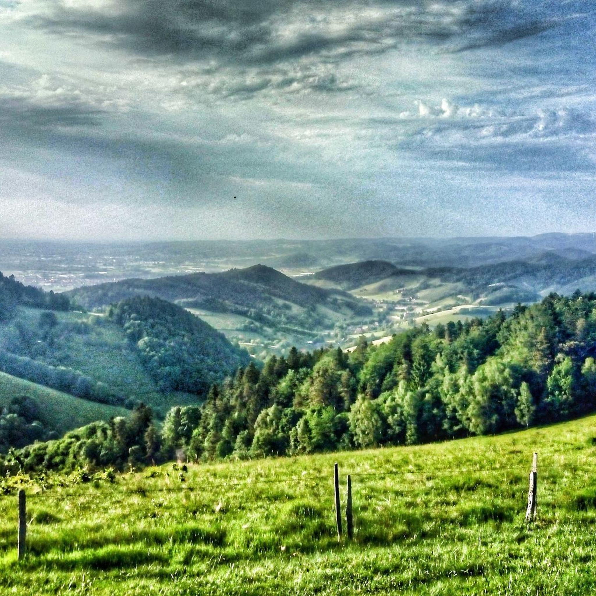
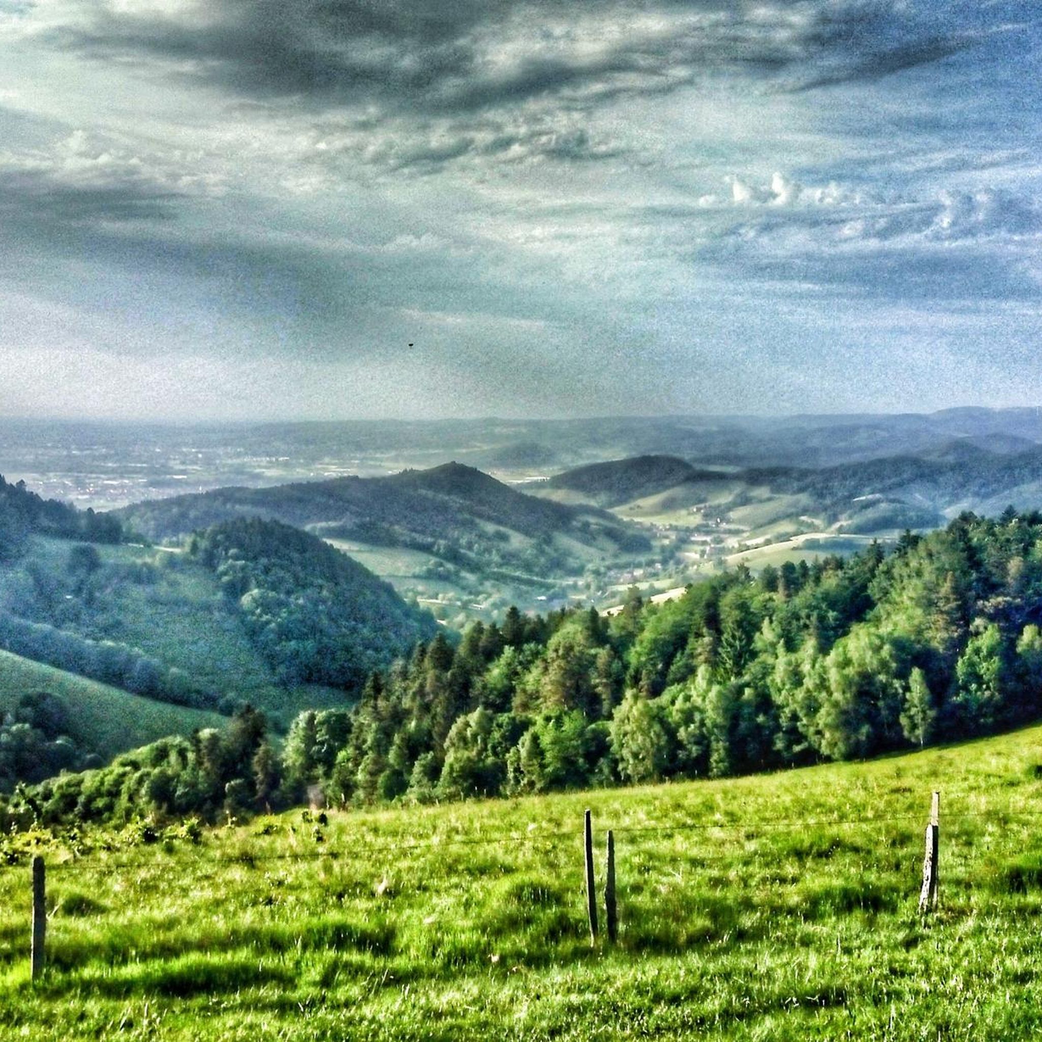
Mountaineering routes around Reute are situated in a region characterized by forested hills, river valleys, and elevated viewpoints. The terrain often features a mix of dense woodlands and open areas, with notable peaks like the Kandel offering significant elevation gain. This landscape provides varied conditions for mountaineering, from challenging ascents to paths along industrial canals and through natural reserves. The area's topography includes a range of elevations, making it suitable for different skill levels.
Best mountaineering routes around Reute
- The…
Last updated: July 12, 2026
7
hikers
18.7km
06:52
970m
970m
Hard mountaineering route. Very good fitness required. Mostly accessible paths. Sure-footedness required.
5.0
(1)
1
hikers
Hard mountaineering route. Very good fitness required. Sure-footedness, sturdy shoes and alpine experience required.

Sign up for free
5.0
(1)
1
hikers
8.01km
02:30
310m
310m
Moderate mountaineering route. Good fitness required. Easily-accessible paths. Suitable for all skill levels.
5.0
(1)
1
hikers
17.9km
05:23
560m
560m
Hard mountaineering route. Very good fitness required. Mostly accessible paths. Sure-footedness required.
Our route recommendations are based on thousands of hikes, rides, and runs completed by other people on komoot.
Start today with a free account
Your next adventure awaits.
Login or Signup
Tips from the Community

Very interesting castle ruins with a great view.
0
0

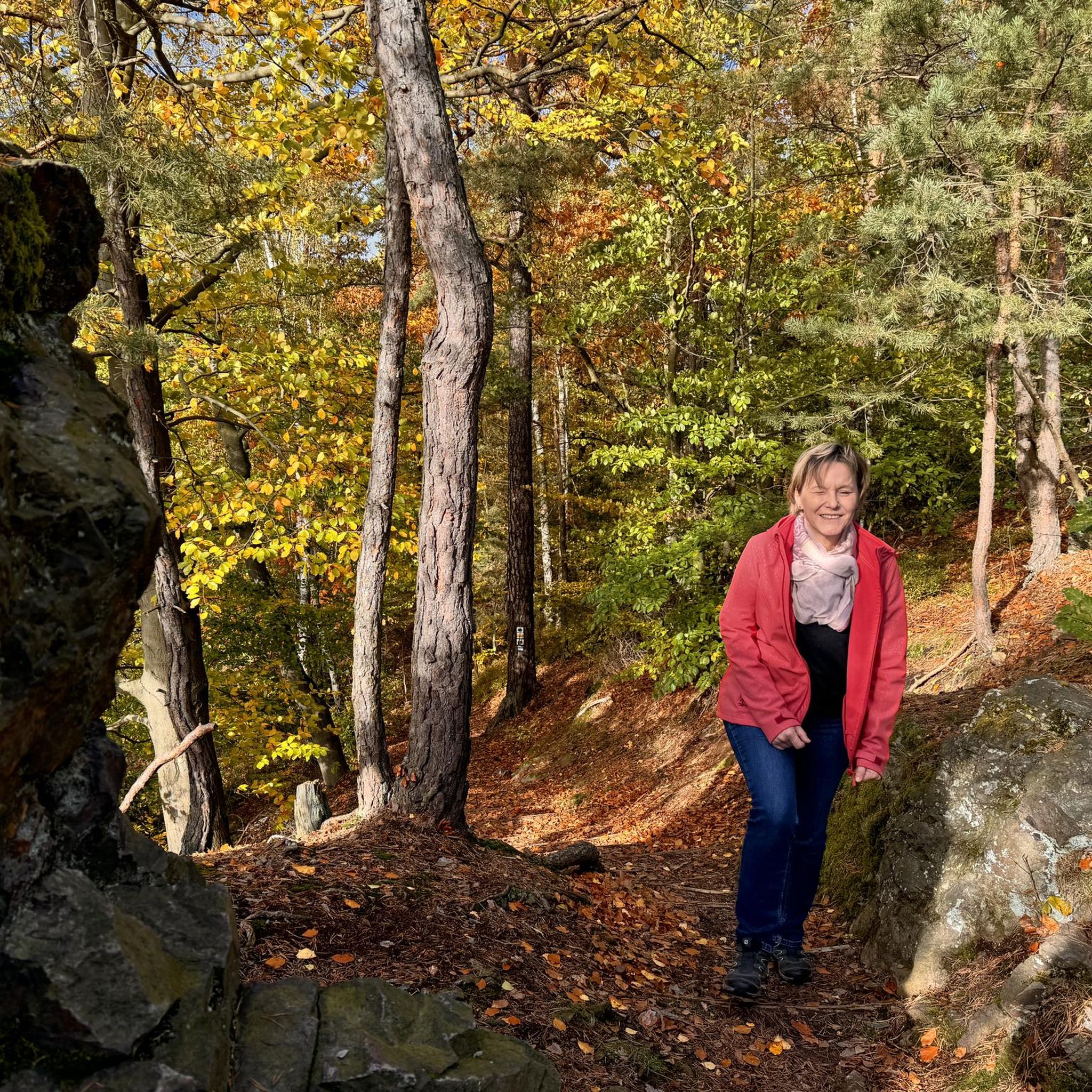
A very beautiful path through the forest up the Totenkopf to the Neulindenturm. The steep and somewhat rocky climb is much more enjoyable than the wide path from the south, which I then continued on.
1
0

just stop and enjoy
1
0

Beautiful view, a life-affirming totem, a lounger, a bench, a table and a great view of the Kaiserstuhl and towards Freiburg.
1
0

The Child Protection Association recalls the 1989 Convention on the Rights of the Child
1
2
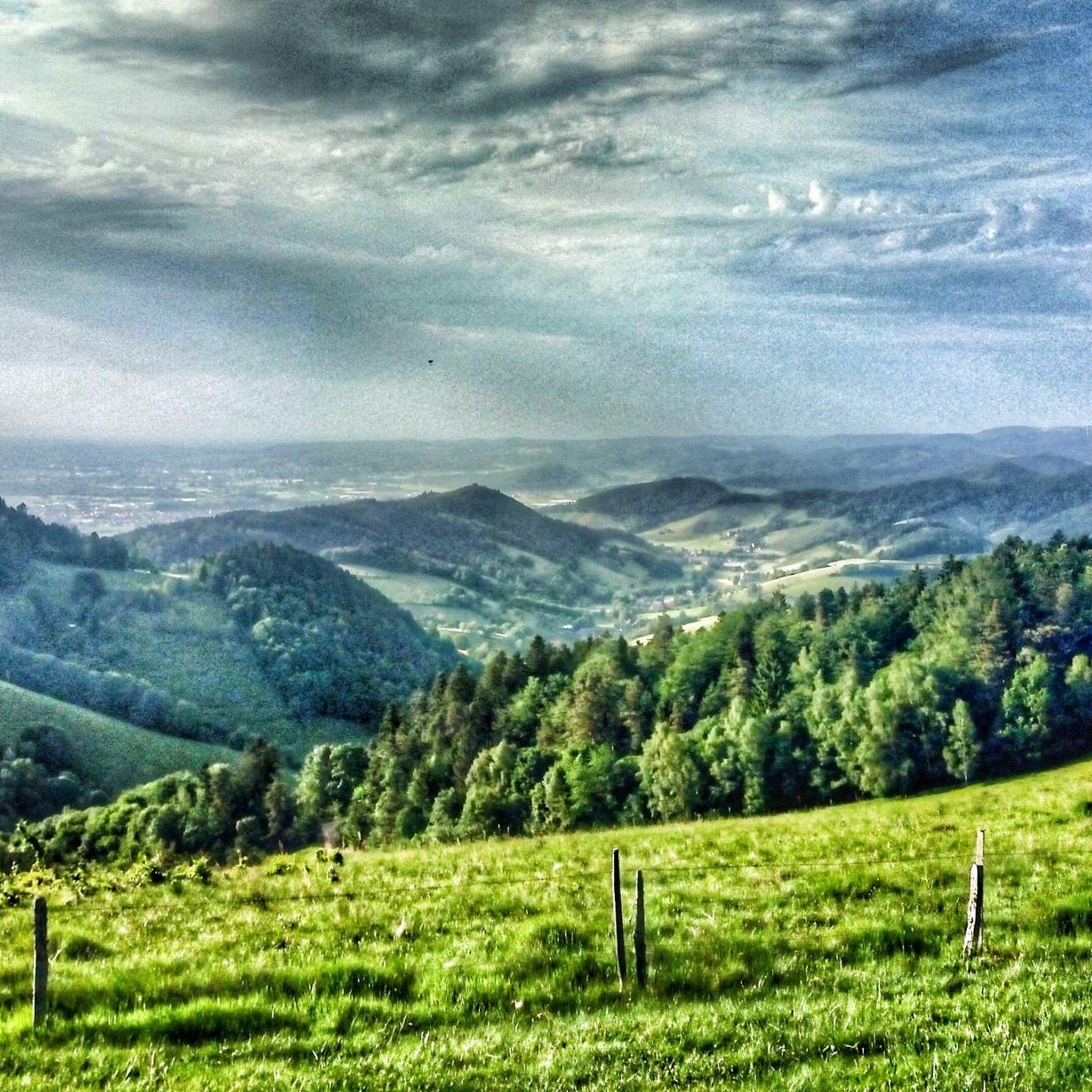
Beautiful views over the slopes of the Kaiserstuhl. The sign explains what you can see
3
0

A good idea 👍 of the Child Protection Association so that it might also be considered whether the little ones always get their rights
2
1

Every difficult climb is rewarded with a view.
0
0
Frequently Asked Questions
What is the general difficulty level of mountaineering routes around Reutte?
Mountaineering routes in the Reutte region cater to a range of skill levels. You'll find options from moderate paths, such as the Vogelsang Pass Viewpoint – Neunlinden Tower loop from Kaiserstuhl, which involves about 315 meters of ascent, to more challenging summit ascents. Difficult routes like the View from the Kandel – Kandel Summit Viewpoint loop from Waldkirch can involve nearly 1000 meters of elevation gain and require good fitness and sure-footedness.
Are there any circular mountaineering routes in the Reutte area?
Yes, several mountaineering routes around Reutte are designed as loops, offering a convenient way to explore the landscape. Examples include the challenging Waldkirch Industrial Canal – Langeck Hut loop from Waldkirch (Breisgau), which covers 18.5 kilometers, and the moderate Vogelsang Pass Viewpoint – Neunlinden Tower loop from Kaiserstuhl, a shorter 8.2-kilometer option.
What kind of terrain can I expect on mountaineering routes in Reutte?
The terrain around Reutte is diverse, featuring a mix of forested hills, river valleys, and elevated viewpoints. You can expect paths that traverse dense woodlands, open alpine meadows, and sections along natural features like the River Lech. Some routes, particularly those leading to higher peaks in the Lechtal and Allgäu Alps, will involve significant elevation changes and rocky sections, requiring appropriate footwear and experience.
What are some notable landmarks or viewpoints along the mountaineering routes?
The Reutte region offers numerous stunning viewpoints and landmarks. The Kandel Summit Viewpoint provides panoramic vistas. Beyond the immediate routes, the region is home to the spectacular highline179 suspension bridge, connecting the Ehrenberg Castle Ruins with Fort Claudia, offering breathtaking views. You can also find picturesque mountain lakes like the Plansee and Heiterwanger See, and historical sites such as the Kastelburg Castle Ruins.
Are there any family-friendly mountaineering options in Reutte?
While many mountaineering routes in Reutte are challenging, the region does offer more accessible mountain experiences. The Hahnenkamm Mountain World, accessible by cable car, provides various trails including a barefoot hiking path and family-friendly options. For a moderate mountaineering experience, the Vogelsang Pass Viewpoint – Neunlinden Tower loop from Kaiserstuhl is a shorter, less strenuous option suitable for families with some hiking experience.
What is the best season for mountaineering in Reutte?
The best season for mountaineering in Reutte is generally from late spring to early autumn (May to October). During these months, trails are typically free of snow, and the weather is more stable, offering ideal conditions for exploring the alpine landscapes. Always check local weather forecasts and trail conditions before heading out, especially for higher-altitude routes.
What do other mountaineers enjoy most about the routes in Reutte?
The mountaineering routes in Reutte are highly rated by the komoot community, with an average score of 5.0 stars from over 3 reviews. Mountaineers often praise the varied terrain, from challenging ascents to paths through dense woodlands, and the rewarding panoramic views from summits like the Kandel.
Are there any routes that pass by lakes or rivers?
Yes, the Reutte region is known for its crystal-clear mountain lakes and the wild River Lech. While specific mountaineering routes listed here might not directly follow the river, the broader area offers trails like the long-distance Lechweg which follows the river. You can also find highlights such as the Lake Flückiger in Seepark and Moosweiher Lake nearby.
How many mountaineering routes are available in the Reutte area?
There are several dedicated mountaineering routes around Reutte, with options ranging from moderate to difficult. The komoot community has explored a variety of these trails, offering diverse experiences for different skill levels.
Are there any less crowded mountaineering trails in Reutte?
While popular routes like the Kandel summit can attract visitors, the extensive network of trails in the Reutte Nature Park Region means you can often find quieter paths. Exploring routes slightly off the main tourist hubs or visiting during off-peak times can lead to a more serene experience. The region's vastness allows for discovery beyond the most frequented spots.
What are the options for parking when accessing mountaineering routes in Reutte?
Parking availability varies by trailhead. For routes starting near towns like Waldkirch or Kaiserstuhl, you can typically find designated parking areas. It's advisable to check specific route descriptions on komoot for detailed information on parking facilities at the starting points of your chosen mountaineering tour.
Can I find amenities like cafes or pubs near the mountaineering routes?
Yes, the Reutte region is well-equipped with amenities. Many trailheads are located near towns or villages where you can find cafes, restaurants, and pubs. For longer routes, some alpine huts might offer refreshments. Additionally, cable car stations, such as those at Hahnenkamm, often have panoramic restaurants providing food and drinks.
Most popular attractions around Reute

Get inspired with the komoot mobile app


Explore more
Browse the best Mountain Hikes & Routes in other regions.
