The 4 Most Amazing Peaks around Ostrach
Best mountain peaks around Ostrach are found within a landscape characterized by hilly and wooded terrain, shaped by moraine hills. This region offers elevated areas that provide scenic views and recreational opportunities. While not featuring towering peaks in the traditional sense, the area includes notable high points and natural features for exploration. The highest point within the Ostrach municipality reaches 767 meters.
Best mountain peaks around Ostrach
- The most popular mountain peaks is Höchsten, a summit that is the…
Last updated: July 1, 2026
Höchsten
Highlight • Summit
Translated by Google •
Tip by

View from the Amalienhöhe
Highlight • Viewpoint
Translated by Google •
Tip by

Sign up now to discover places like this
Get recommendations on the best single tracks, peaks, & plenty of other exciting outdoor places.
Sign up for free
Amalienhöhe (788.2 m) near Heiligenberg
Highlight • Summit
Translated by Google •
Tip by

Berggasthof Höchsten & Panoramic View of Lake Constance and the Alps
Highlight • Mountain Hut
Translated by Google •
Tip by

View from the Höchsten Summit
Highlight • Viewpoint
Translated by Google •
Tip by

Start today with a free account
Your next adventure awaits.
Login or Signup
Popular around Ostrach
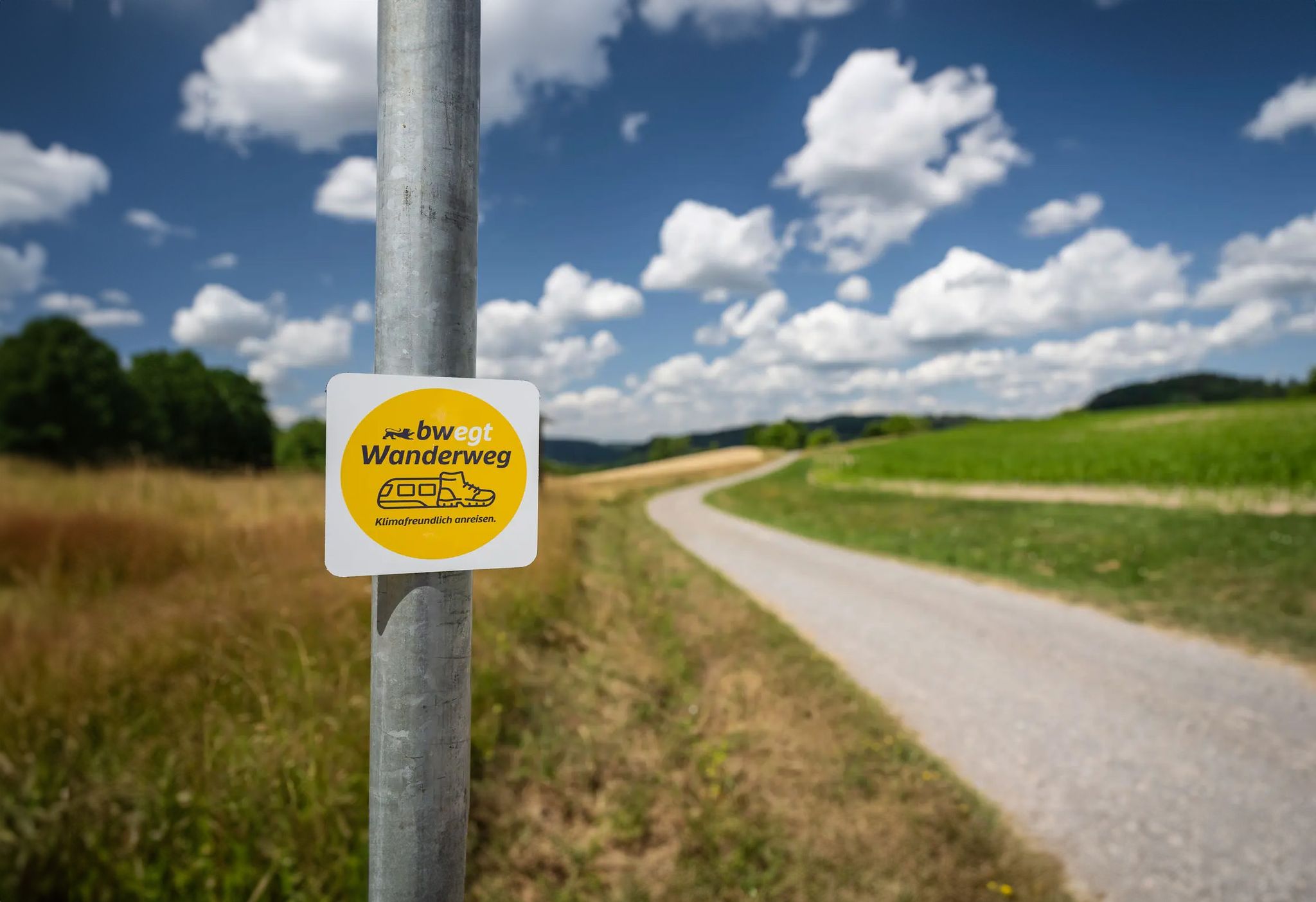
bwegt-Wanderweg – travel in a climate-friendly way, experience more
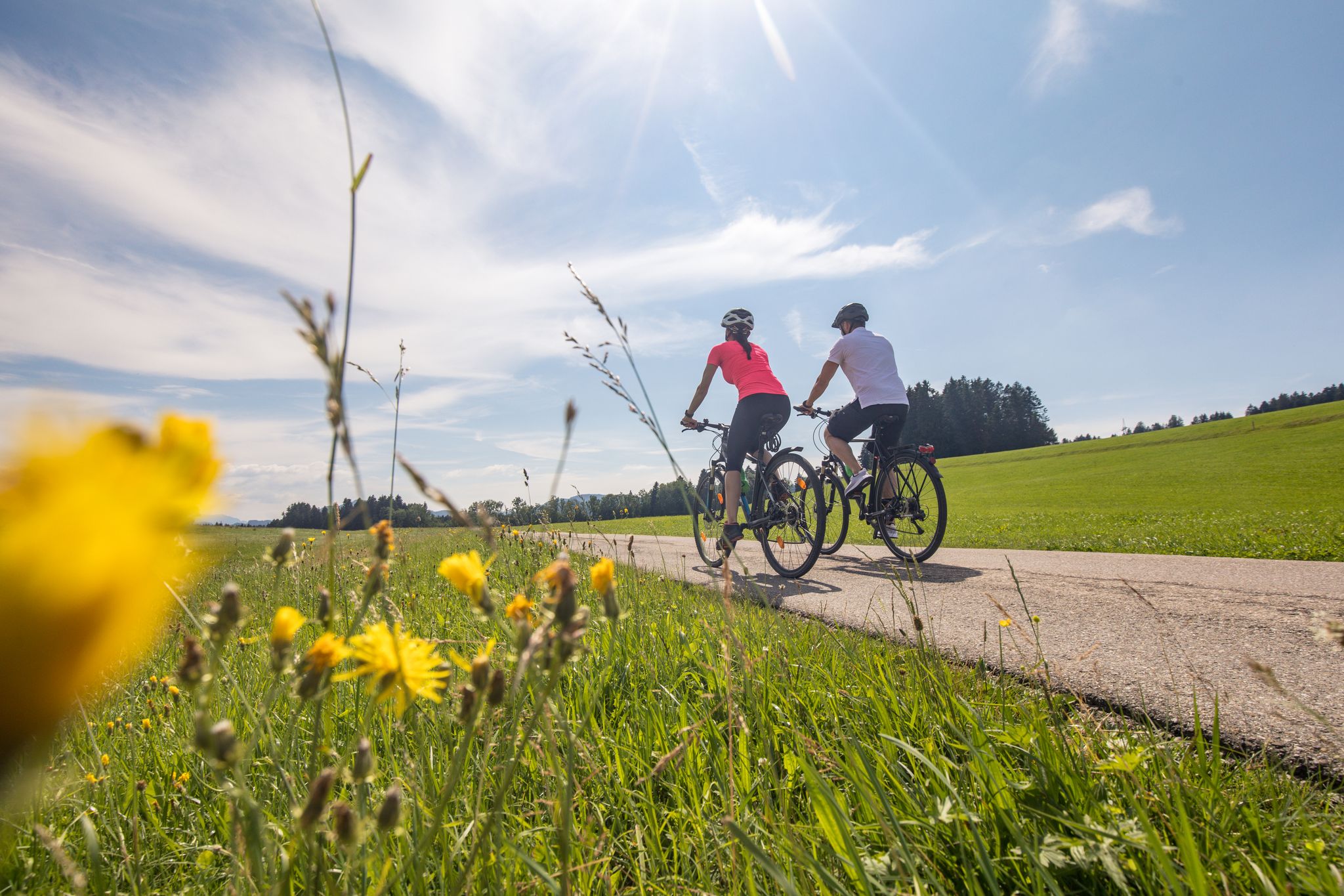
Ruhe und Natur pur - Radtouren im Bodensee Umland
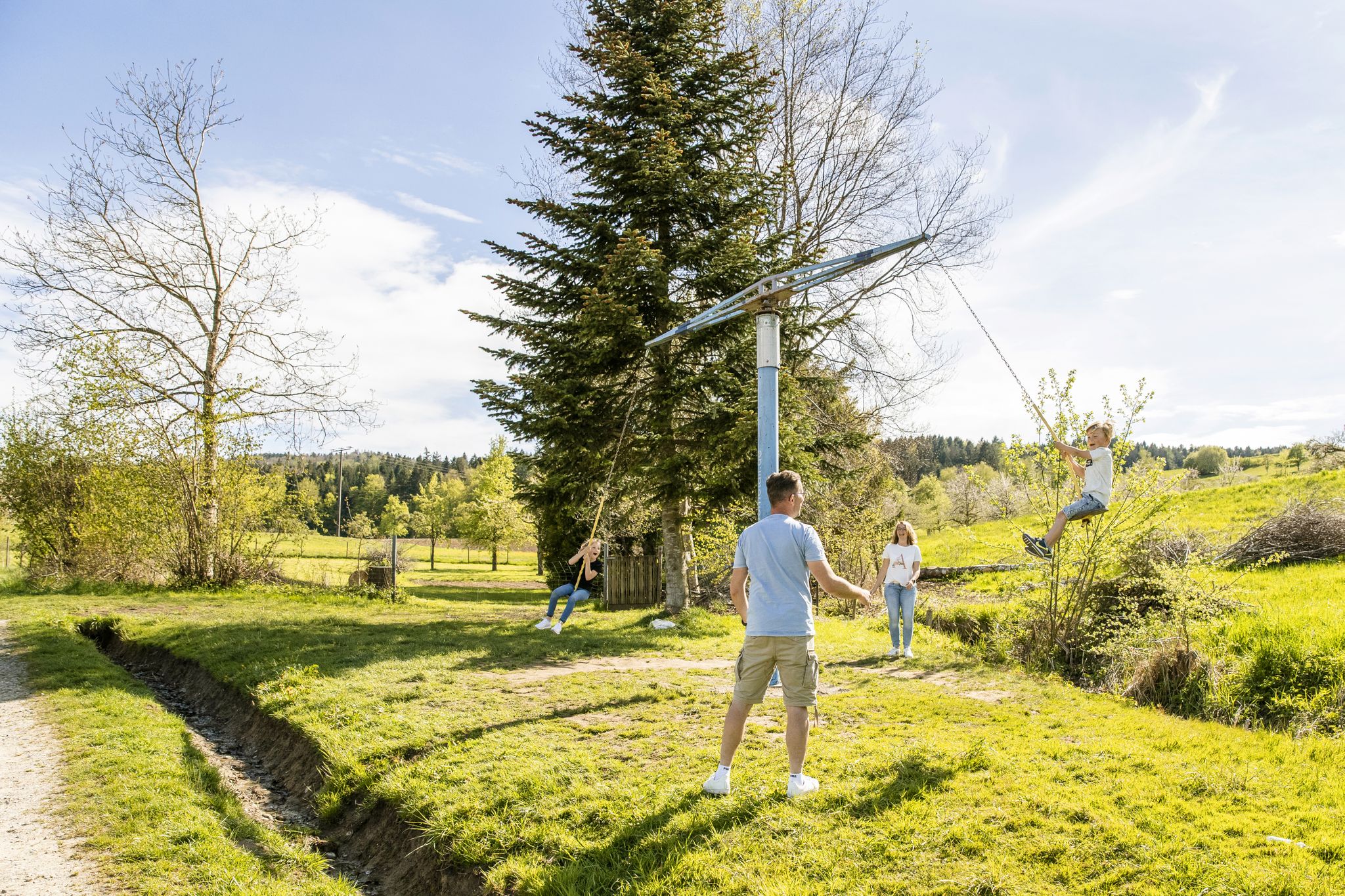
Erlebniswege für die ganze Familie – Wandern mit Kindern
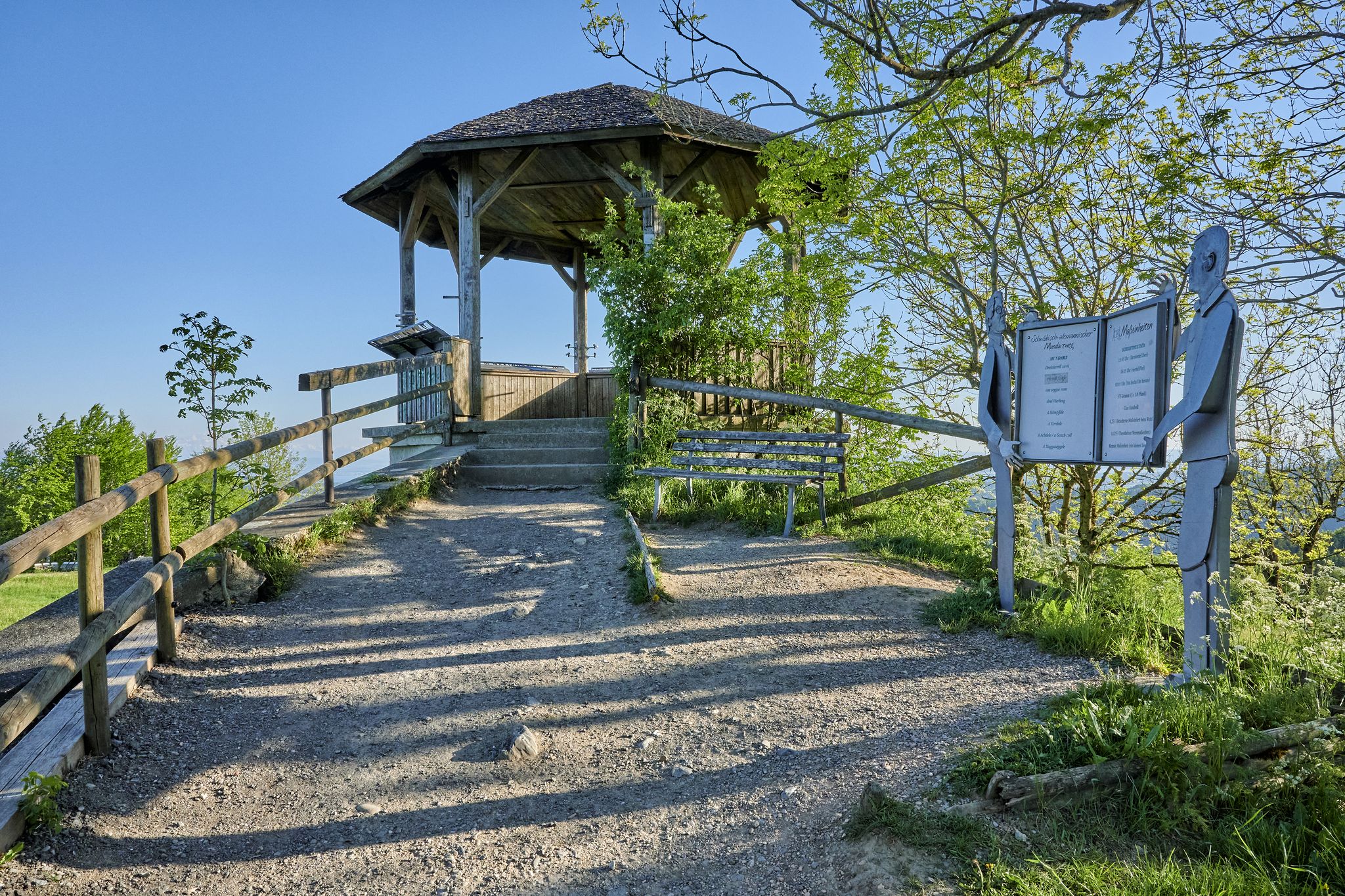
Stille Pfade, verborgene Schätze – Wandern im idyllischen Bodensee-Umland
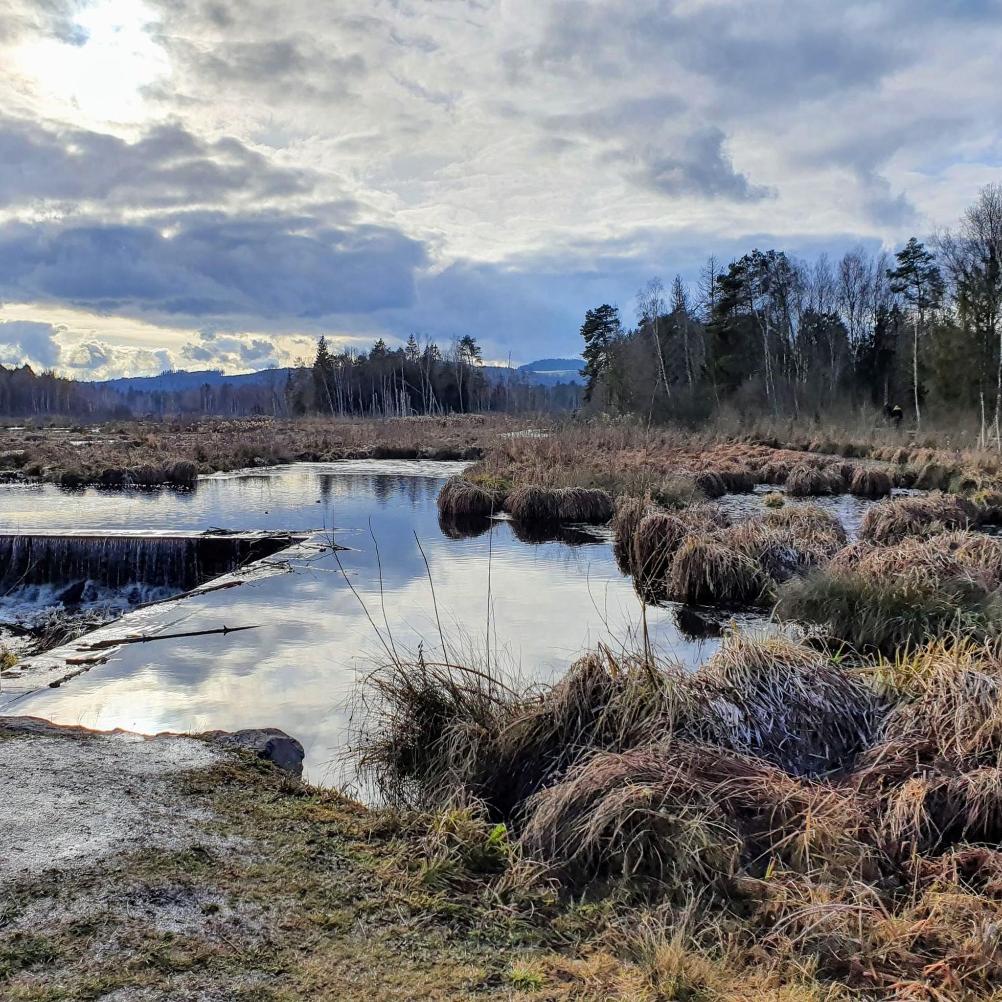
Hiking around Ostrach
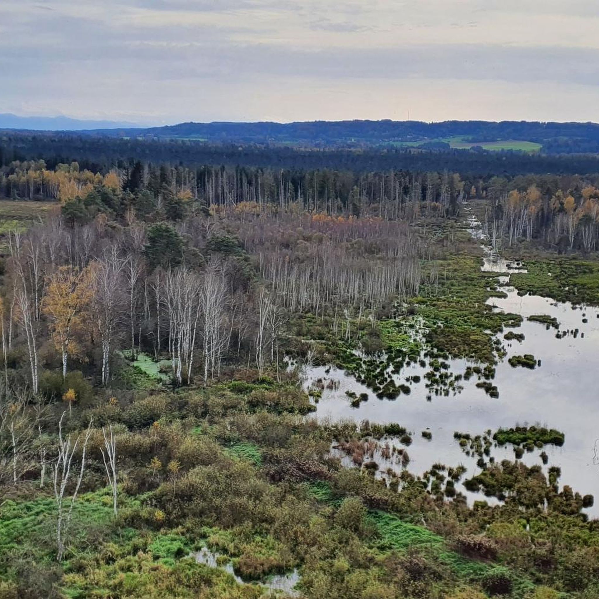
Cycling around Ostrach
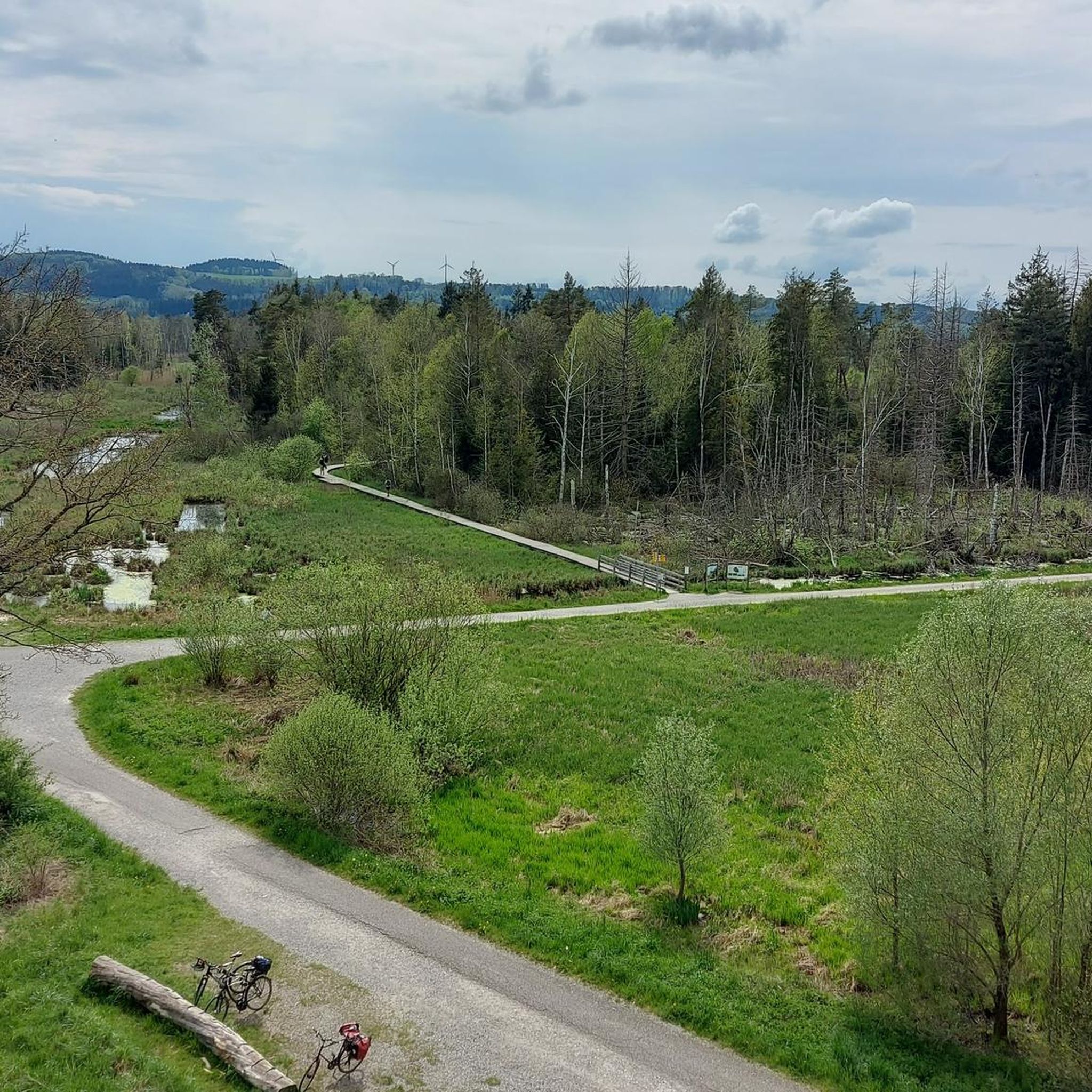
Running Trails around Ostrach
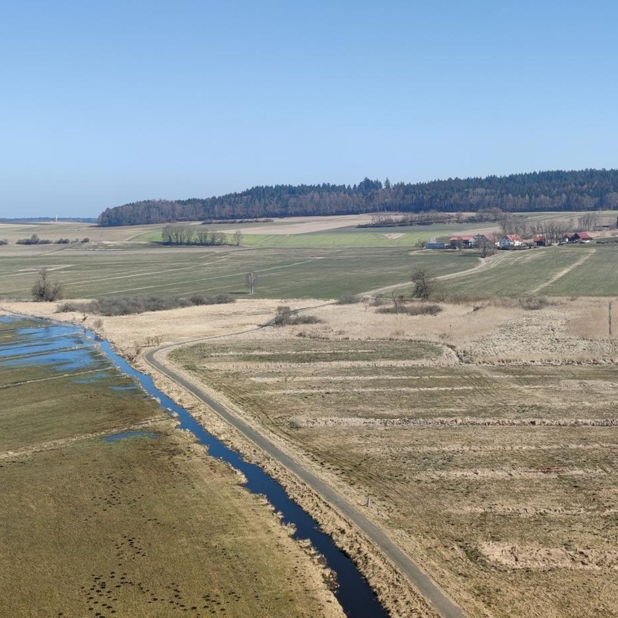
Road Cycling Routes around Ostrach
MTB Trails around Ostrach

Gravel biking around Ostrach
Other adventures around Ostrach


Tips from the Community


The highest, with its excellent viewing platform, towers majestically above the landscape and offers a great view of Lake Constance and the Alps. You can experience the impressive silhouette of the Alps in a panorama that is second to none. It is a place of peace and beauty that invites visitors to pause and enjoy the magnificent view.
2
0

How many photos can you take of the Most High? Thousands! and each one is different. Simply great.
1
0

Beautiful vantage point!
9
0

A must for every biker, mega view without words.
1
0

The panorama board installed on the Amalienhöhe by the Heimatverein Heiligenberg e.V. in 2000 helps to determine the Alpine peaks when visibility is good.
5
0
Great view over Lake Constance to the Alps and the Allgäu 🙂
9
0

Nice destination for a walk from Heiligenberg
12
0
Frequently Asked Questions
What are the most notable elevated areas and viewpoints around Ostrach?
While Ostrach's landscape is characterized by hills rather than towering mountains, several elevated areas offer excellent views. Key spots include Höchsten, known as the highest elevation in the wider area with panoramic views of Lake Constance and the Alps. Another popular viewpoint is View from the Amalienhöhe, where on clear days you can spot distant Alpine peaks like Säntis and Altman. The Amalienhöhe (788.2 m) near Heiligenberg also provides a wonderful panoramic vista.
Where can I find the best panoramic views of Lake Constance and the Alps near Ostrach?
For breathtaking panoramic views of Lake Constance and the distant Alps, head to Höchsten. This elevated point features an observation deck and panorama board to help identify the Alpine peaks. Another excellent spot is the View from the Höchsten Summit, which offers an impressive silhouette of the Alps. You can also catch wonderful views of Lake Constance and the Alps during the descent between Betenbrunn and Beuren.
Are there family-friendly elevated areas or viewpoints around Ostrach?
Yes, several spots are suitable for families. The View from the Amalienhöhe is a nice destination for a walk from Heiligenberg, offering good air quality. Similarly, the Amalienhöhe (788.2 m) near Heiligenberg, with its linden group and benches, is a popular spot for family walks. The View from the Höchsten Summit is also considered family-friendly, providing an accessible viewing platform.
What natural features define the landscape around Ostrach?
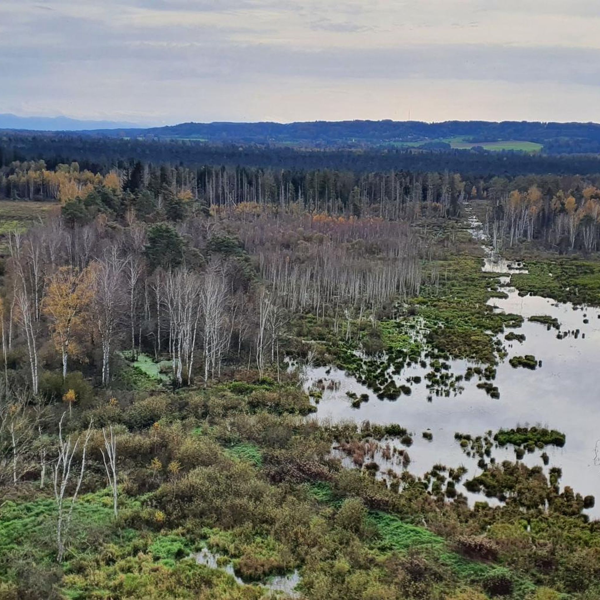
The landscape around Ostrach is characterized by its hilly and wooded terrain, largely shaped by moraine hills, which are remnants of the Rhine Glacier. The Ostrach stream itself flows between two such moraine hills. The region also features the extensive Pfrunger-Burgweiler Ried nature reserve, home to a vast reed bed and the largest protected forest (Bannwald) in Baden-Württemberg.
What hiking opportunities are available near Ostrach's elevated areas?
The region offers various hiking opportunities. You can explore trails within the Pfrunger-Burgweiler Ried nature reserve, which includes paths through renaturation areas and moorlands. For more structured routes, consider exploring the options in the Hiking around Ostrach guide, which features routes like the 'Vogelsee loop from Burgweiler' and the 'bwegt-Wanderweg – Robber's Trail'.
Are there cycling routes that include the elevated points near Ostrach?
Yes, cycling is a popular activity, especially around Höchsten. This area is well-known among racing cyclists, featuring a 'Stoppomat' for timed ascents. You can find various cycling routes in the Cycling around Ostrach guide, such as the 'Bergstüble Höchsten – Höchsten Observation Deck loop from Ostrach'.
What is the highest point within the Ostrach municipality?
The highest point within the Ostrach municipality itself reaches 767 meters above NHN. While not a named peak in the traditional sense, it contributes to the region's elevated and scenic character.
What is the Bannwald Tower and what does it offer?
The Bannwald Tower is located within the Pfrunger-Burgweiler Ried nature reserve near Ostrach. While not an elevated peak itself, the tower provides a 360-degree panoramic view of the vast reed bed and the surrounding landscape, offering a unique perspective on this significant natural area.
What do visitors particularly enjoy about the elevated areas around Ostrach?
Visitors frequently praise the magnificent panoramic views, especially from Höchsten, which offers stunning vistas of Lake Constance and the Alps. The excellent air quality, particularly around Heiligenberg, is also often highlighted. Many appreciate the peacefulness and natural beauty that invite visitors to pause and enjoy the scenery.
Are there any running trails near the elevated areas of Ostrach?
Yes, there are several running trails in the vicinity. The Running Trails around Ostrach guide lists options such as the 'Vogelsee loop from Burgweiler' and routes around the 'Goller Observation Tower', offering diverse terrain for joggers.
What is the significance of the moraine hills in Ostrach?
The moraine hills are significant geological features that define Ostrach's undulating landscape. These hills are remnants of the Rhine Glacier and the Ostrach stream flows between two prominent ones. They contribute to the picturesque, elevated character of the region, with areas like Einhart sitting at elevations such as 604 meters above NHN.
Most popular routes around Ostrach
Most popular attractions around Ostrach

Get inspired with the komoot mobile app


Explore more
See even more amazing summits around Ostrach with these guides:
