The best mountain hikes around Gebweiler
4.7
(9)
24
hikers
6
hikes
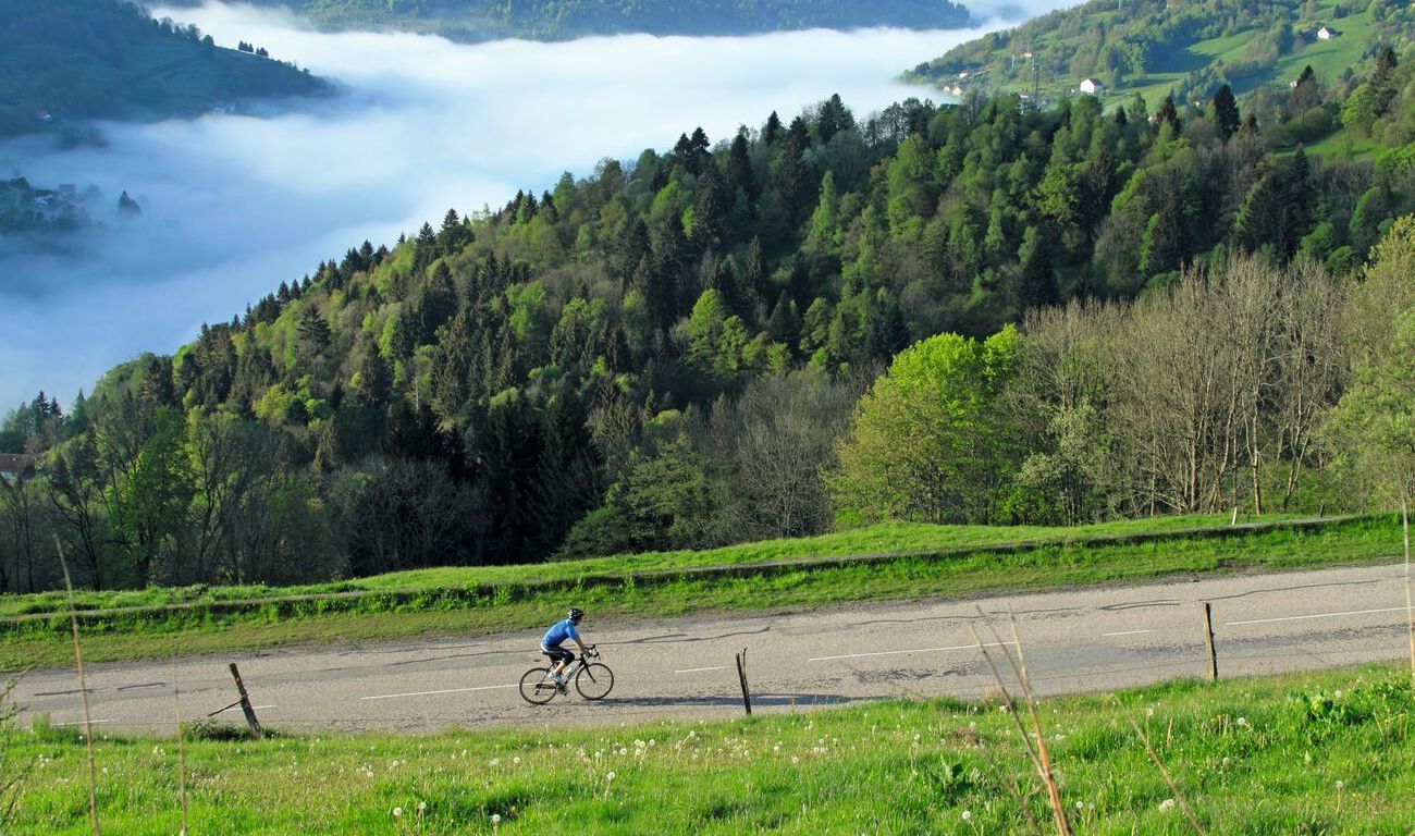
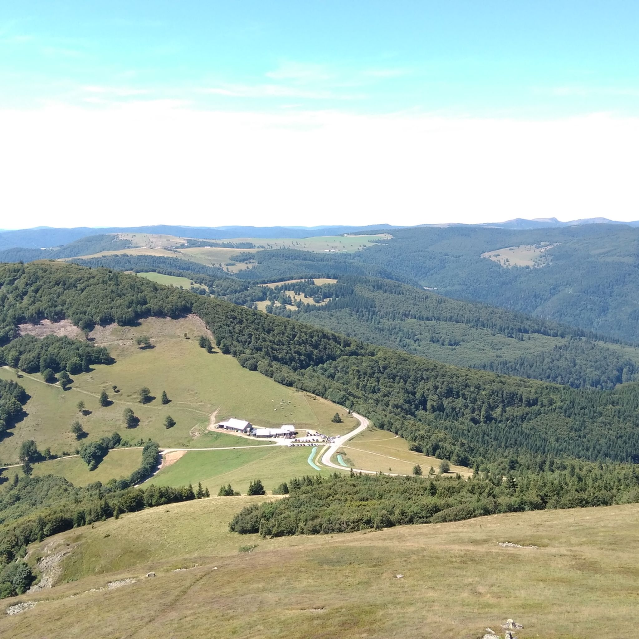
Mountaineering around Gebweiler offers routes through the scenic Vosges mountains, characterized by prominent summits like Grand Ballon and Petit Ballon. The region features a mix of open mountain terrain, high passes, and forested slopes. Elevations provide expansive views across the surrounding landscape. The area's geology supports varied trails, from moderate ascents to more challenging climbs.
Best mountaineering routes around Gebweiler
- The most popular mountaineering route is Grand Ballon – Panoramic view from the Grand Ballon summit loop from Grand Ballon…
Last updated: June 25, 2026
5.0
(2)
7
hikers
Moderate mountaineering route. Great for any fitness level. Mostly accessible paths. Sure-footedness required.
3.0
(1)
4
hikers
14.7km
05:11
790m
790m
Hard mountaineering route. Very good fitness required. Mostly accessible paths. Sure-footedness required.

Sign up for free
5.0
(3)
6
hikers
Moderate mountaineering route. Great for any fitness level. Mostly accessible paths. Sure-footedness required.
2
hikers
7.30km
02:24
310m
310m
Moderate mountaineering route. Good fitness required. Mostly accessible paths. Sure-footedness required.
5.0
(1)
2
hikers
6.35km
02:19
380m
380m
Moderate mountaineering route. Good fitness required. Mostly accessible paths. Sure-footedness required.
Our route recommendations are based on thousands of hikes, rides, and runs completed by other people on komoot.
Start today with a free account
Your next adventure awaits.
Login or Signup


Tips from the Community

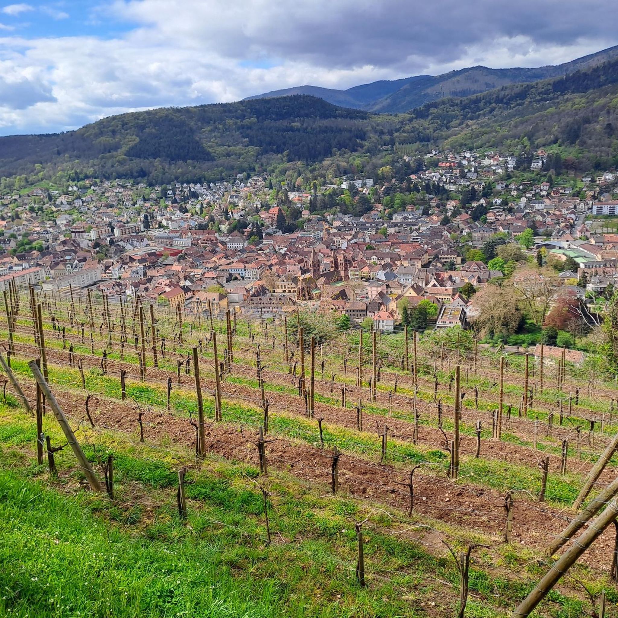
very beautiful view, you can sometimes see the Alps.
0
0

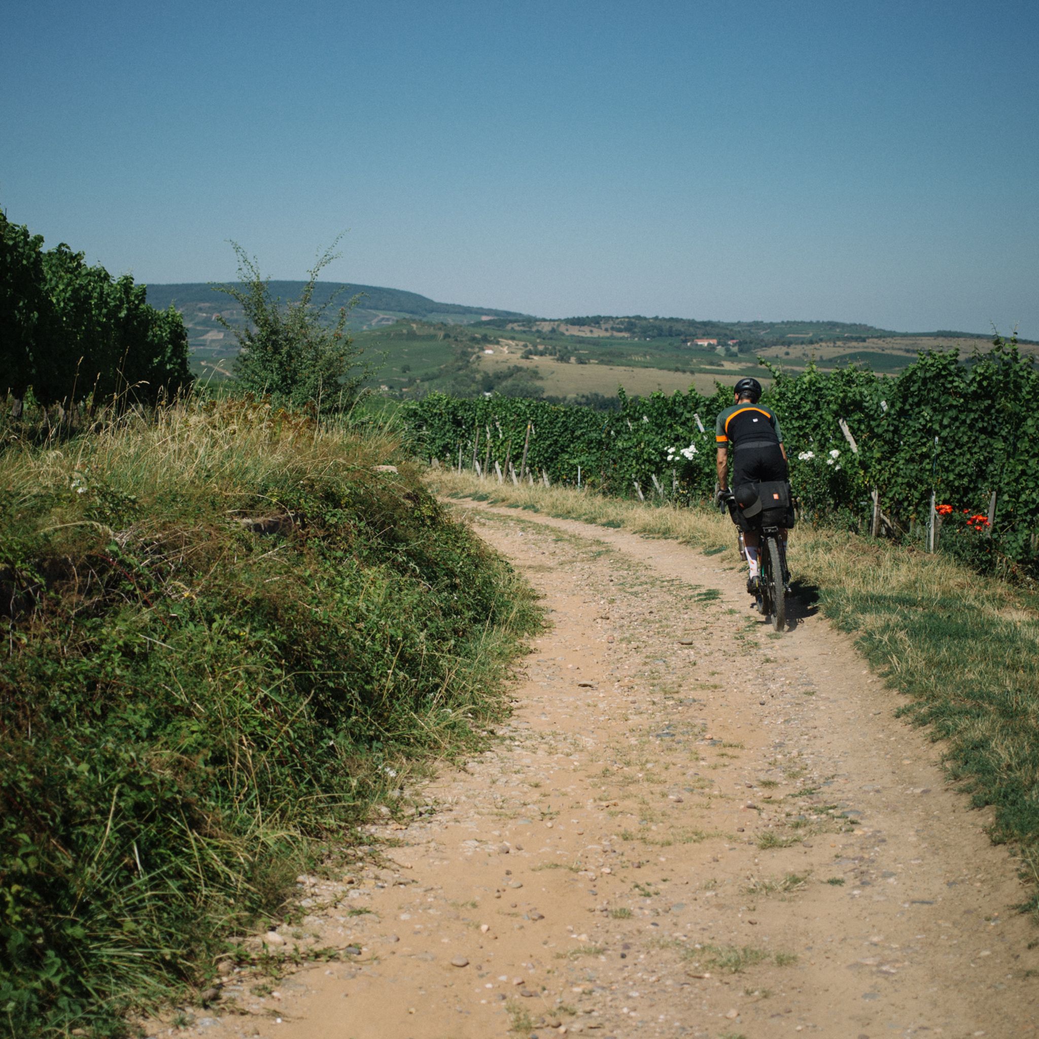
A challenge on a mountain bike without a motor. But the downhill trails are great. It's worth it 👍🏻
2
0

It's an ideal starting point for hikes to the Grand Ballon, the Storkenkopf, and many more. Here you can enjoy a hearty meal before or after a hike.
2
0
Breathtaking panoramic views across the Rhine plain to the Black Forest, and on clear days, even the Alps. Highly recommended.
3
0

A statue of the Virgin watches over the valley from the summit of Petit Ballon. It was erected by the tenant of the Ballon farm in 1862 after surviving a violent snowstorm in 1860.
1
0

Quite rustic - very warm hospitality. Very cheap!
2
0

These French auberges are simply beautiful
1
1
Bunkers from the past can be found everywhere in this area. A relic that is worth a look.
1
0
Frequently Asked Questions
Are there beginner-friendly mountaineering routes around Gebweiler?
Yes, Gebweiler offers several moderate mountaineering routes suitable for beginners or those looking for a less strenuous experience. For instance, the Grand Ballon – Panoramic view from the Grand Ballon summit loop from Grand Ballon is a moderate 2.2-mile (3.5 km) trail that provides stunning views without extreme difficulty.
What is the typical length and duration of mountaineering routes in Gebweiler?
The routes vary in length and duration. Shorter, moderate loops like the Grand Ballon – Panoramic view from the Grand Ballon summit loop from Col du Grand Ballon are about 2.5 miles (4.0 km) and can be completed in under 1.5 hours. Longer, more challenging routes, such as the Petit Ballon – Col du Hilsenfirst loop from Linthal, can extend to 9.0 miles (14.5 km) and take over 5 hours.
Are there challenging mountaineering routes for experienced hikers?
Absolutely. For experienced mountaineers seeking a challenge, the Petit Ballon – Col du Hilsenfirst loop from Linthal is a difficult 9.0-mile (14.5 km) trail with significant elevation gain, leading through mountain passes and forested areas. This route offers a more demanding experience.
Which routes offer the best panoramic views in the Gebweiler area?
Many routes in the Gebweiler area boast excellent views, especially those ascending to the prominent summits. The Grand Ballon – Panoramic view from the Grand Ballon summit loop from Grand Ballon and the Grand Ballon – Panoramic view from the Grand Ballon summit loop from Col du Grand Ballon both offer expansive vistas from the highest point in the Vosges mountains.
Are there any circular mountaineering routes around Gebweiler?
Yes, several routes are designed as loops, allowing you to start and end at the same point. Examples include the Petit Ballon Pass (1,163 m) – The Steinberg loop from Petit Ballon and the Boenlesgrab Pass – Petit Ballon loop from Col de Boenlesgrab, both offering varied terrain and scenic returns.
When is the best time of year for mountaineering in Gebweiler?
The best time for mountaineering in Gebweiler is typically from late spring to early autumn (May to October) when the weather is generally mild, and trails are clear of snow. Summer offers the warmest temperatures, while spring and autumn provide beautiful foliage and fewer crowds. Always check local weather conditions before heading out.
Are the mountaineering routes around Gebweiler dog-friendly?
Many trails in the Vosges mountains are dog-friendly, but it's always recommended to keep your dog on a leash, especially in nature reserves or near livestock. Ensure your dog is fit enough for the chosen route and carry enough water for both of you. Always check specific trail regulations before you go.
What essential gear should I pack for mountaineering in Gebweiler?
For mountaineering in Gebweiler, essential gear includes sturdy hiking boots, layered clothing suitable for changing mountain weather, a waterproof jacket, a map and compass or GPS device, sufficient water and snacks, a first-aid kit, and sun protection. Trekking poles can also be beneficial on steeper sections.
Are there places to eat or rest along the mountaineering routes?
Yes, the region features several mountain huts and farm inns where you can find refreshments or take a break. Notable spots include the Kahlenwasen Farm Inn and the Grand Ballon Chalet Hotel. The Boenlesgrab Pass is also a known point of interest.
What do other mountaineers enjoy the most about mountaineering in Gebweiler?
The mountaineering routes around Gebweiler are highly rated by the komoot community, with an average score of 4.7 stars. Reviewers often praise the diverse terrain, from open mountain landscapes to forested slopes, and the rewarding panoramic views from summits like Grand Ballon. The well-maintained trails and varied difficulty levels also contribute to a positive experience.
What kind of natural landmarks or attractions can I see near the mountaineering routes?
Beyond the stunning mountain scenery, you can explore various points of interest. The area is dotted with historical sites such as the Ruins of Hohrupf Castle and the Ruins of Freundstein Castle. There are also charming facilities like the Haag Farm and viewpoints such as the Viewpoint at the Rehbrunnel shelter.
Most popular routes around Gebweiler
Most popular attractions around Gebweiler

Get inspired with the komoot mobile app


Explore more
Browse the best Mountain Hikes & Routes in other regions.
